|
Pak Sha Chau (Sai Kung)
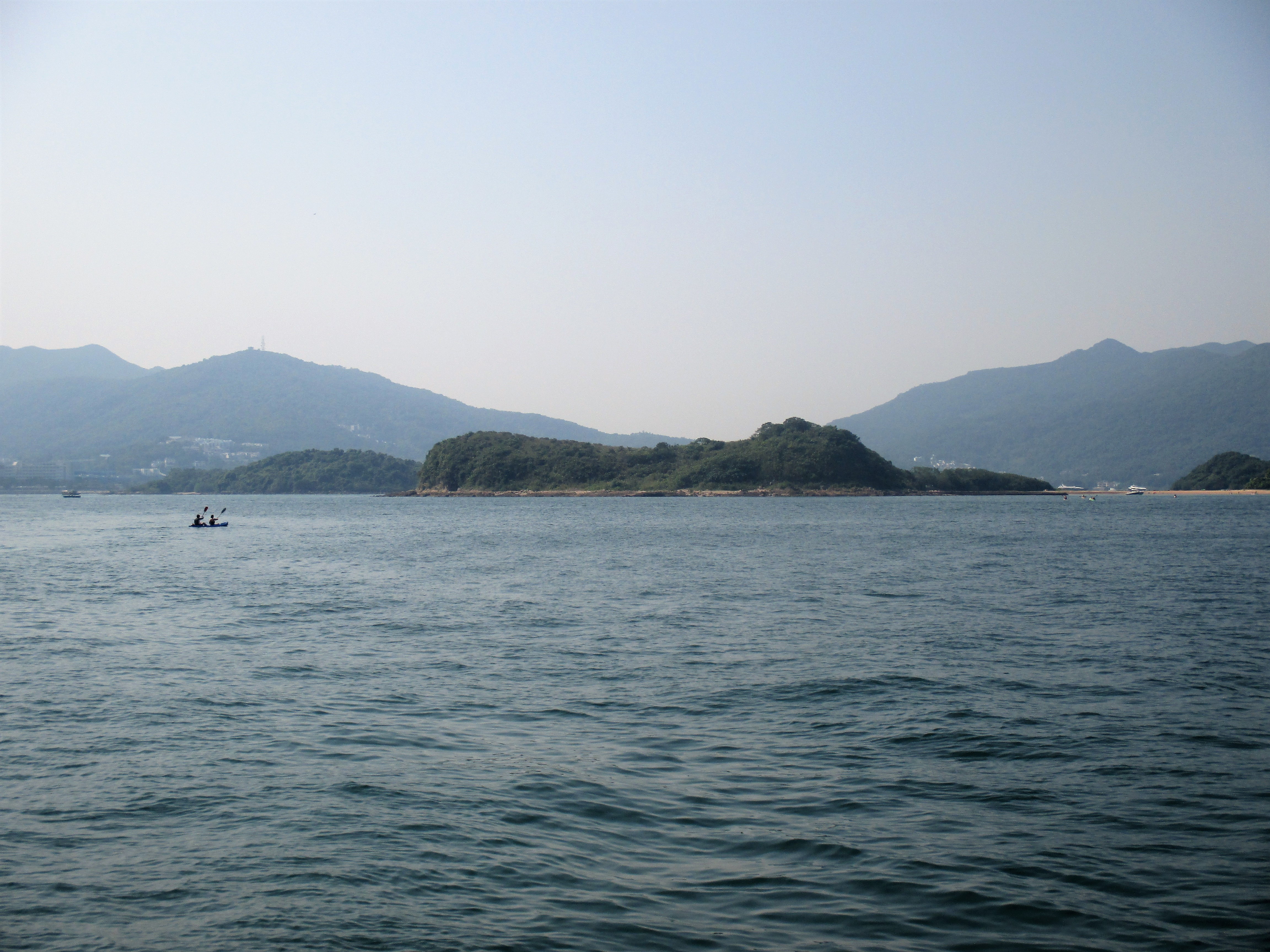
Pak Sha Chau () is an island of Hong Kong. Administratively, it is part of the Sai Kung District. Additionally it is part of the Kiu Tsui Country Park. The island is connected to a smaller island, Siu Tsan Chau (), by a tombolo. See also * List of islands and peninsulas of Hong Kong * Port Shelter, the water body that surrounding the island Uninhabited islands of Hong Kong {{NewTerritories-geo-stub ... [...More Info...] [...Related Items...] OR: [Wikipedia] [Google] [Baidu] |
Kiu Tsui Chau
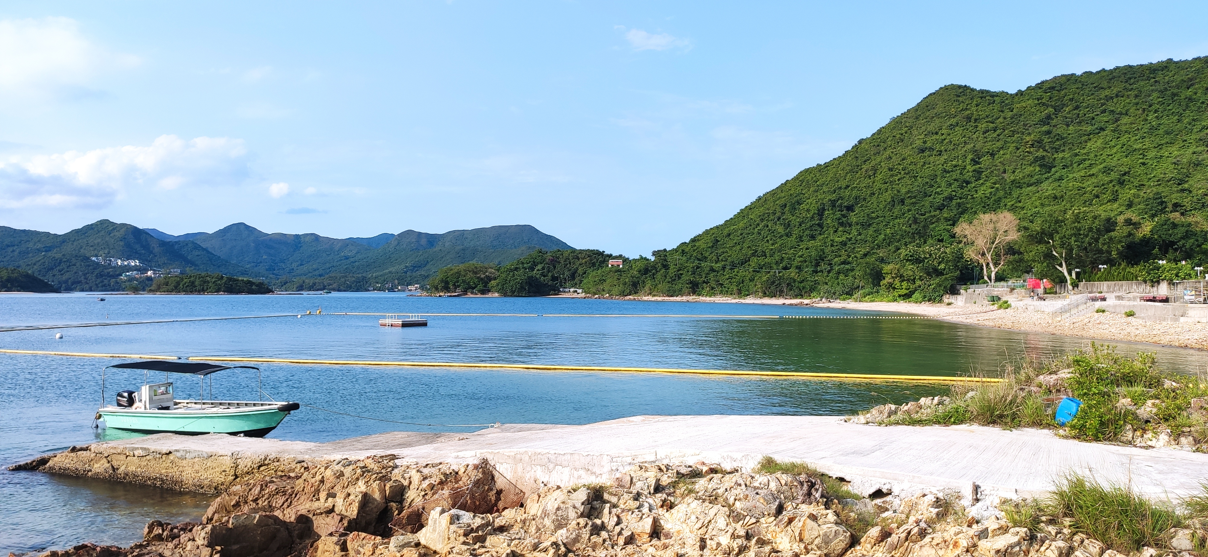
Sharp Island or Kiu Tsui Chau () is the largest island in the Kiu Tsui Country Park located at Port Shelter of Sai Kung Peninsula, Sai Kung, Hong Kong. The area is most known for fishing, swimming as well as diving. Sharp Island is under the administration of Sai Kung District. Geography The island has a maximum elevation of 136m and an area of 1 km². The two Beaches of Hong Kong, beaches, Hap Mun Bay Beach, Half Moon Bay Beach (, also known as Hap Mun Bay), and Kiu Tsui Beach () are located on the island. Both are managed by the Hong Kong Leisure and Cultural Services Department. When the predicted tides at Ko Lau Wan is lower than or equal to +1.40 meters, visitors are able to visit Kiu Tau (), an inshore islet, on foot. Different kind of volcanic rocks can be found on Sharp Island. The most frequent ones are rocks with a peculiar pattern on the surface. Other rocks have an unusual pineapple-shaped form. History Origin of the different kinds or rocks It is believed ... [...More Info...] [...Related Items...] OR: [Wikipedia] [Google] [Baidu] |
Sai Kung District
Sai Kung District is one of the 18 districts of Hong Kong, a special administrative region of China. The district comprises the southern half of the Sai Kung Peninsula, the Clear Water Bay Peninsula in the New Territories and a strip of land to the east of Kowloon. Areas in the district include Sai Kung Town, Hong Kong UNESCO Global Geopark, Tseung Kwan O and over 70 islands of different sizes. The administrative centre had been located in Sai Kung Town until the Sai Kung District Office was relocated to Tseung Kwan O recently. The district's population is concentrated in Tseung Kwan O, as of 2011. In 2011, the district was the third youngest district, with a median age of 39.3. Known as the "back garden of Hong Kong", Sai Kung has been able to retain its natural scenery. Many traditional customs and cultures are still retained in the rural villages. History The modern geopolitical entity of Sai Kung District was formed after World War II. Settlements existed in the area p ... [...More Info...] [...Related Items...] OR: [Wikipedia] [Google] [Baidu] |
Pak Sha Chau Siu Tsan Chau
Pak or PAK may refer to: Places * Pakistan (country code PAK) * Pak, Afghanistan * Pak Island, in the Admiralty Islands group of Papua New Guinea * Pak Tea House, a café in Lahore, Punjab, Pakistan Arts and entertainment * PAK (band), an American band * Perfect All-Kill, a music chart achievement in South Korea * Pak, Nintendo's sensational spelling of the word "pack" as a name for their game media and accessories: ** Controller Pak, the Nintendo 64's memory card ** Expansion Pak, a RAM add-on for Nintendo 64 ** Game Pak, game cartridges designed for early Nintendo systems ** Option Pak, any of a number of special attachments for the Nintendo DS ** Rumble Pak, a haptic feedback device ** Transfer Pak, a data-transfer device ** Tremor Pak, a third-party Rumble Pak People * Pak (Korean surname), or Park * Pak (creator), formerly Murat Pak, digital artist, cryptocurrency investor, and programmer * B. J. Pak (born 1974), Korean-American attorney and politician * Bo Hi Pak (1930� ... [...More Info...] [...Related Items...] OR: [Wikipedia] [Google] [Baidu] |
Hong Kong
Hong Kong ( (US) or (UK); , ), officially the Hong Kong Special Administrative Region of the People's Republic of China ( abbr. Hong Kong SAR or HKSAR), is a city and special administrative region of China on the eastern Pearl River Delta in South China. With 7.5 million residents of various nationalities in a territory, Hong Kong is one of the most densely populated places in the world. Hong Kong is also a major global financial centre and one of the most developed cities in the world. Hong Kong was established as a colony of the British Empire after the Qing Empire ceded Hong Kong Island from Xin'an County at the end of the First Opium War in 1841 then again in 1842.. The colony expanded to the Kowloon Peninsula in 1860 after the Second Opium War and was further extended when Britain obtained a 99-year lease of the New Territories in 1898... British Hong Kong was occupied by Imperial Japan from 1941 to 1945 during World War II; British administration resume ... [...More Info...] [...Related Items...] OR: [Wikipedia] [Google] [Baidu] |
Kiu Tsui Country Park
Kiu Tsui Country Park () is a country park in Sai Kung District, Hong Kong. The park opened in 1979 and includes features such as: *Hap Mun Bay Beach () on Sharp Island *Kiu Tsui Beach () on Sharp Island The park has eight outlying islands within its boundaries: * Kiu Tsui Chau (Sharp Island) * Kiu Tau, an inshore islet linked to Sharp Island by a tombolo only at low tide * Pak Sha Chau * Tai Tsan Chau * Siu Tsan Chau * Cham Tau Chau * Yau Lung Kok * Tuen Tau Chau See also * Inner Port Shelter * Conservation in Hong Kong External links *Agriculture, Fisheries and Conservation Department The Agriculture, Fisheries and Conservation Department (; formerly the Agriculture and Fisheries Department () before 2000, of the Hong Kong Government is responsible for agriculture and fisheries in Hong Kong, conservation projects and issu ...Kiu Tsui Country Park Country parks and special areas of Hong Kong Sai Kung District 1979 establishments in Hong Kong {{HongKong-ge ... [...More Info...] [...Related Items...] OR: [Wikipedia] [Google] [Baidu] |
Tombolo
A tombolo is a sandy or shingle isthmus. A tombolo, from the Italian ', meaning 'pillow' or 'cushion', and sometimes translated incorrectly as ''ayre'' (an ayre is a shingle beach of any kind), is a deposition landform by which an island becomes attached to the mainland by a narrow piece of land such as a spit or bar. Once attached, the island is then known as a tied island. Several islands tied together by bars which rise above the water level are called a tombolo cluster. Two or more tombolos may form an enclosure (called a lagoon) that can eventually fill with sediment. Formation The shoreline moves toward the island (or detached breakwater) due to accretion of sand in the lee of the island, where wave energy and longshore drift are reduced and therefore deposition of sand occurs. Wave diffraction and refraction True tombolos are formed by wave refraction and diffraction. As waves near an island, they are slowed by the shallow water surrounding it. These waves th ... [...More Info...] [...Related Items...] OR: [Wikipedia] [Google] [Baidu] |
List Of Islands And Peninsulas Of Hong Kong
Hong Kong comprises the Kowloon Peninsula and 263 islands over , the largest being Lantau Island and the second largest being Hong Kong Island. Ap Lei Chau is one of the most densely populated islands in the world. Hong Kong Island is historically the political and commercial centre of Hong Kong. It was the site of the initial settlement of Victoria City, where the financial district of Central is now located. Most of the other islands are commonly referred to as the '' Outlying Islands''. The Kowloon Peninsula, across Victoria Harbour from Hong Kong Island is another notable commercial centre in Hong Kong. In terms of the districts of Hong Kong, while one of the 18 districts is called the Islands District, many islands of Hong Kong are actually not part of that district, which only consists of some twenty large and small islands in the southern and the south-western waters of Hong Kong. These islands belong to respective districts depending on their locations. Peninsulas Be ... [...More Info...] [...Related Items...] OR: [Wikipedia] [Google] [Baidu] |
Port Shelter
Port Shelter, known in Cantonese as Ngau Mei Hoi (), is a harbour south of Sai Kung Peninsula in Hong Kong. The water body connects to Inner Port Shelter (known in Cantonese as Sai Kung Hoi; ), as well as Hebe Haven (), Rocky Harbour () and other water body. Outer Port Shelter, is situated at the mouth of the harbour. Geography The boundary of Port Shelter has different definition according to different sources. Publication of the U.S. Hydrographic Office, had stated the western shores of Keui Island (now known as Kau Sai Chau) and Jin Island, as well as eastern and north-east shores of the mainland area (now HKUST, Tseung Kwan O New Town and Clear Water Bay Peninsula), were the boundaries of Port Shelter. The Hydrographic Office also stated the entrance of the harbour lies between Lung Ha Wan (; located in Clear Water Bay Peninsula) and Peaked Rock , with a width of about . Earlier publication of the Office, had stated the peaked rock is located south of Jin Island. The ro ... [...More Info...] [...Related Items...] OR: [Wikipedia] [Google] [Baidu] |


