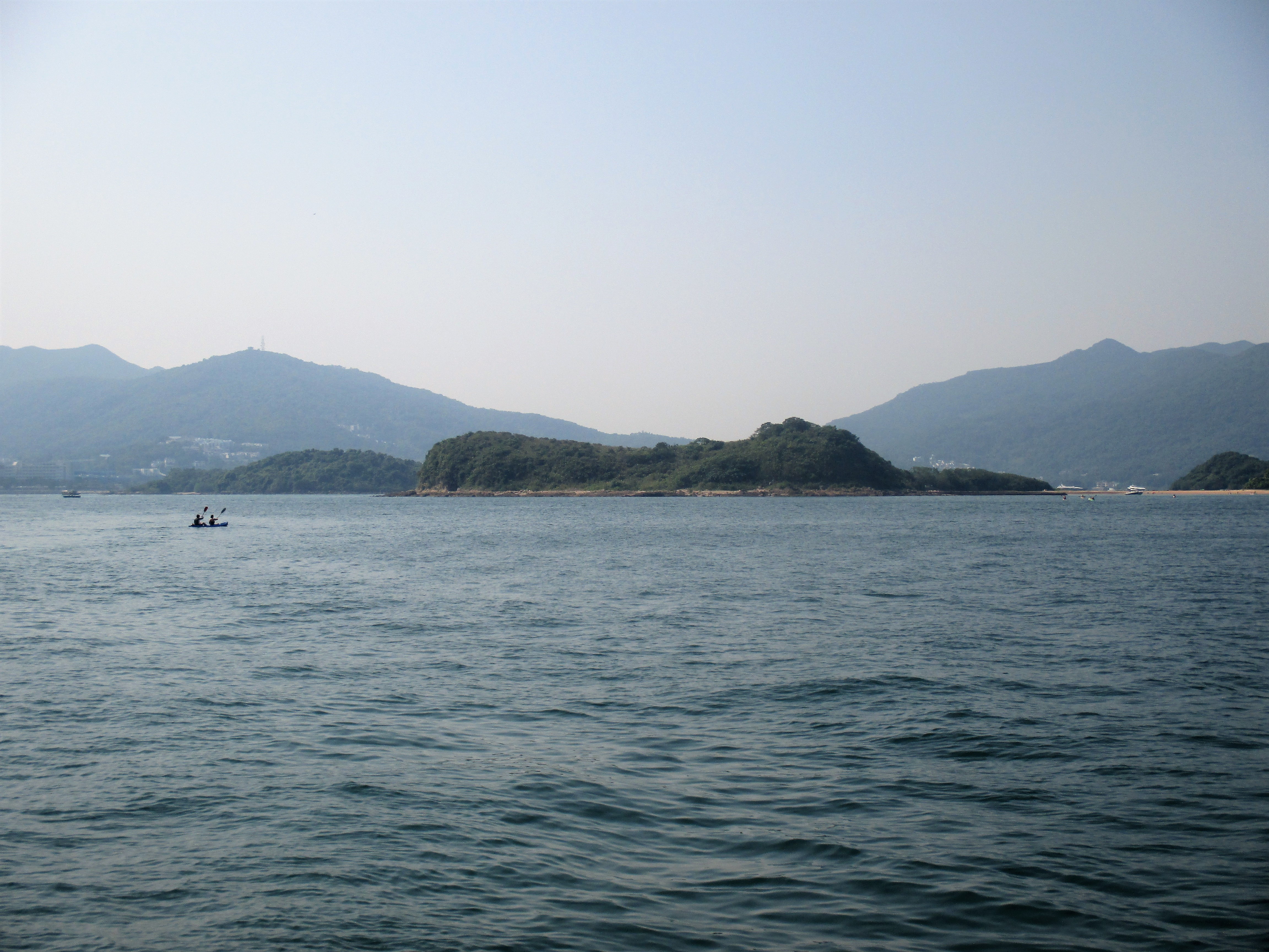
Pak Sha Chau (Sai Kung) on:
[Wikipedia]
[Google]
[Amazon]
 Pak Sha Chau () is an island of
 Pak Sha Chau () is an island of
 Hong Kong
Hong Kong ( (US) or (UK); , ), officially the Hong Kong Special Administrative Region of the People's Republic of China ( abbr. Hong Kong SAR or HKSAR), is a city and special administrative region of China on the eastern Pearl River Delt ...
. Administratively, it is part of the Sai Kung District
Sai Kung District is one of the 18 districts of Hong Kong, a special administrative region of China. The district comprises the southern half of the Sai Kung Peninsula, the Clear Water Bay Peninsula in the New Territories and a strip of lan ...
. Additionally it is part of the Kiu Tsui Country Park.
The island is connected to a smaller island, Siu Tsan Chau (), by a tombolo
A tombolo is a sandy or shingle isthmus. A tombolo, from the Italian ', meaning 'pillow' or 'cushion', and sometimes translated incorrectly as ''ayre'' (an ayre is a shingle beach of any kind), is a deposition landform by which an island become ...
.
See also
*List of islands and peninsulas of Hong Kong
Hong Kong comprises the Kowloon Peninsula and 263 islands over , the largest being Lantau Island and the second largest being Hong Kong Island. Ap Lei Chau is one of the most densely populated islands in the world.
Hong Kong Island is historic ...
* Port Shelter
Port Shelter, known in Cantonese as Ngau Mei Hoi (), is a harbour south of Sai Kung Peninsula in Hong Kong. The water body connects to Inner Port Shelter (known in Cantonese as Sai Kung Hoi; ), as well as Hebe Haven (), Rocky Harbour () and o ...
, the water body that surrounding the island
Uninhabited islands of Hong Kong
{{NewTerritories-geo-stub