|
Orton, Carlisle
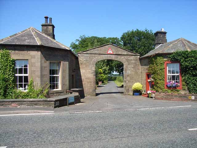
Orton is a civil parish in the Carlisle district, in the county of Cumbria, England. The parish includes the settlements of Baldwinholme, Great Orton, Little Orton, Orton Rigg and Woodhouses. In 2011 the parish had a population of 453. The parish touches Aikton, Beaumont, Burgh By Sands, Cummersdale, Dalston, Kirkbampton and Thursby. There are 12 listed buildings in Orton. History The name "Orton" may mean 'Orri's farm/settlement' or 'black grouse farm/settlement'. The parish included the townships of Great Orton and Baldwinholme. Until 1974 it was in Cumberland Cumberland ( ) is a historic county in the far North West England. It covers part of the Lake District as well as the north Pennines and Solway Firth coast. Cumberland had an administrative function from the 12th century until 1974. From 19 .... References External links Parish council Civil parishes in Cumbria City of Carlisle {{Cumbria-geo-stub ... [...More Info...] [...Related Items...] OR: [Wikipedia] [Google] [Baidu] |
City Of Carlisle
The City of Carlisle ( , ) is a local government district of Cumbria, England, with the status of a city and non-metropolitan district. It is named after its largest settlement, Carlisle, but covers a far larger area which includes the towns of Brampton and Longtown, as well as outlying villages including Dalston, Scotby and Wetheral. In 2011 the district had a population of 107,524, and an area of . Cumbria County Council Census key statistics summary The current city boundaries were set as part of the provisions of the Local Government Act 1972, and cover an amalgamation of two former local government districts, the City and County Borough of Carlisle and the Border Rural District of Cumberland. The City of Carlisle shares a border with Scotland (to the north), and is bounded on the southwest by the borough of Allerdale, and on the south by the district of Eden. The county of Northumberland is to the east. Although the present boundaries date to the 20th century, the c ... [...More Info...] [...Related Items...] OR: [Wikipedia] [Google] [Baidu] |
Cummersdale
Cummersdale is a village in Cumbria, England, just outside the southern outskirts of Carlisle Carlisle ( , ; from xcb, Caer Luel) is a city that lies within the Northern England, Northern English county of Cumbria, south of the Anglo-Scottish border, Scottish border at the confluence of the rivers River Eden, Cumbria, Eden, River C .... Excavations have taken place in Cummersdale. Notable landmarks include the Cummersdale Viaduct and the Spinners Arms. See also * Listed buildings in Cummersdale References External linksCumbria County History Trust: Cummersdale(nb: provisional research only – see Talk page) Villages in Cumbria City of Carlisle {{Cumbria-geo-stub ... [...More Info...] [...Related Items...] OR: [Wikipedia] [Google] [Baidu] |
Cumberland
Cumberland ( ) is a historic county in the far North West England. It covers part of the Lake District as well as the north Pennines and Solway Firth coast. Cumberland had an administrative function from the 12th century until 1974. From 1974 until 2023, Cumberland lay within Cumbria, a larger administrative area which also covered Westmorland and parts of Yorkshire and Lancashire. In April 2023, Cumberland will be revived as an administrative entity when Cumbria County Council is abolished and replaced by two unitary authorities; one of these is to be named Cumberland and will include most of the historic county, with the exception of Penrith and the surrounding area. Cumberland is bordered by the historic counties of Northumberland to the north-east, County Durham to the east, Westmorland to the south-east, Lancashire to the south, and the Scottish counties of Dumfriesshire and Roxburghshire to the north. Early history In the Early Middle Ages, Cumbria was part of t ... [...More Info...] [...Related Items...] OR: [Wikipedia] [Google] [Baidu] |
GENUKI
GENUKI is a genealogy web portal, run as a charitable trust. It "provides a virtual reference library of genealogical information of particular relevance to the UK and Ireland". It gives access to a large collection of information, with the emphasis on primary sources, or means to access them, rather than on existing genealogical research. Name The name derives from "GENealogy of the UK and Ireland", although its coverage is wider than this. From the GENUKI website: Structure The website has a well defined structure at four levels. * The first level is information that is common to all "the United Kingdom and Ireland". * The next level has information for each of England (see example) Ireland, Scotland, Wales, the Channel Islands and the Isle of Man. * The third level has information on each pre-1974 county of England and Wales, each of the pre-1975 counties of Scotland, each of the 32 counties of Ireland and each island of the Channel Islands (e.g. Cheshire, County Kerry and G ... [...More Info...] [...Related Items...] OR: [Wikipedia] [Google] [Baidu] |
Township (England)
In England, a township (Latin: ''villa'') is a local division or district of a large parish containing a village or small town usually having its own church. A township may or may not be coterminous with a chapelry, manor, or any other minor area of local administration. The township is distinguished from the following: *Vill: traditionally, among legal historians, a ''vill'' referred to the tract of land of a rural community, whereas ''township'' was used when referring to the tax and legal administration of that community. *Chapelry: the 'parish' of a chapel (a church without full parochial functions). *Tithing: the basic unit of the medieval Frankpledge system. 'Township' is, however, sometimes used loosely for any of the above. History In many areas of England, the basic unit of civil administration was the parish, generally identical with the ecclesiastical parish. However, in some cases, particularly in Northern England, there was a lesser unit called a township, being a ... [...More Info...] [...Related Items...] OR: [Wikipedia] [Google] [Baidu] |
Listed Buildings In Orton, Carlisle
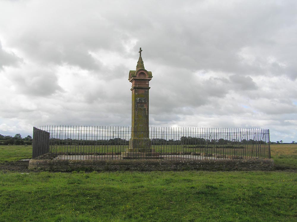
Orton is a civil parish in the Carlisle district of Cumbria, England. It contains twelve listed buildings that are recorded in the National Heritage List for England. Of these, one is listed at Grade II*, the middle of the three grades, and the others are at Grade II, the lowest grade. The parish contains the village of Great Orton Great Orton is a village in the parish of Orton, in the City of Carlisle district of the English county of Cumbria. The population of the civil parish taken at the 2011 census was 453. Historically, the village is part of Cumberland. __TOC__ ..., and the smaller settlements of Little Orton and Baldwinholme, and is otherwise rural. The listed buildings consist of farmhouses, farm buildings, houses and associated structures, a church, and a war memorial in the churchyard. __NOTOC__ Key Buildings References Citations Sources * * * * * * * * * * * * * * {{DEFAULTSORT:Orton, Carlisle Lists of listed buildings in Cumbria ... [...More Info...] [...Related Items...] OR: [Wikipedia] [Google] [Baidu] |
Ordnance Survey
, nativename_a = , nativename_r = , logo = Ordnance Survey 2015 Logo.svg , logo_width = 240px , logo_caption = , seal = , seal_width = , seal_caption = , picture = , picture_width = , picture_caption = , formed = , preceding1 = , dissolved = , superseding = , jurisdiction = Great BritainThe Ordnance Survey deals only with maps of Great Britain, and, to an extent, the Isle of Man, but not Northern Ireland, which has its own, separate government agency, the Ordnance Survey of Northern Ireland. , headquarters = Southampton, England, UK , region_code = GB , coordinates = , employees = 1,244 , budget = , minister1_name = , minister1_pfo = , chief1_name = Steve Blair , chief1_position = CEO , agency_type = , parent_agency = , child1_agency = , keydocument1 = , website = , footnotes = , map = , map_width = , map_caption = Ordnance Survey (OS) is the national mapping agency for Great Britain. The agency's name indicates its original military purpose (se ... [...More Info...] [...Related Items...] OR: [Wikipedia] [Google] [Baidu] |
Thursby
Thursby is a village in the Allerdale borough of Cumbria, England. It is near to the city of Carlisle in North West England. Thursby was historically part of Cumberland. History Thursby lies on an old Roman road, 6 miles south of Carlisle. Thursby takes its old name 'Thor's by' from Thor, the Thunder God of the Saxons, whose temple was reputedly nearby at Kirksteads. The village is predominantly centred on the church, a Victorian building built in 1846 and funded by the Brisco family of Crofton Hall. A bit of heritage comes to Thursby with the church reportedly have been built by King David I of Scotland. Thursby has always been known as a commuter village for travellers to pass through. The Romans once passed through Thursby on their way to Carlisle. However today the village is predominately a bedroom community for the city nearby – the village is closely linked. Thursby continues to thrive and grow with active community groups and regular events occurring at the paris ... [...More Info...] [...Related Items...] OR: [Wikipedia] [Google] [Baidu] |
Kirkbampton
Kirkbampton is a village and civil parish on the B5307 road in the English county of Cumbria. The parish population taken at the 2011 census was 482. It is near the city of Carlisle Carlisle ( , ; from xcb, Caer Luel) is a city that lies within the Northern England, Northern English county of Cumbria, south of the Anglo-Scottish border, Scottish border at the confluence of the rivers River Eden, Cumbria, Eden, River C .... It has a church called St Peter's Church, and a primary school (St. Peters CofE School). The parish includes the villages/hamlets of Kirkbampton, Little Bampton, Oughterby and Studholme. The parish Church of Kirkbampton is dedicated to St Peter, and is an ancient Norman structure and a Grade I listed building, of typical Cumbrian character. The chancel arch and North doorway, both being original and in situ, are Saxon in style and fix the dimensions of the early Church. Over the North entrance door is a sculptured tympanum. Only five examples of ... [...More Info...] [...Related Items...] OR: [Wikipedia] [Google] [Baidu] |
Dalston, Cumbria
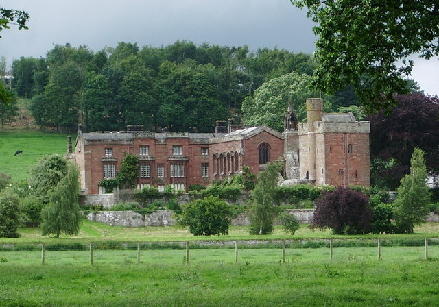
Dalston is a large village and civil parish within the Carlisle district of Cumbria, historically part of Cumberland. It is situated on the B5299 road south-south-west of Carlisle city centre, and approximately from Junction 42 of the M6 motorway. The village is on the River Caldew, just to the north of where the Roe Beck joins the river. It is served by the Dalston railway station on the Cumbrian Coast Line between , + . Historic buildings Rose Castle, home of the Bishop of Carlisle for many centuries until 2009, is within the parish of Dalston, from the heart of the village. The Architects Anthony Salvin and Thomas Rickman were responsible for the alterations which took place in the 19th Century. Dalston Hall is a grade II* listed fortified house which is now a country house hotel. Dalston has two churches; St Michael's + All Angels Church. Governance There is a county electoral division of Dalston, stretching north towards Carlisle, with a total population at ... [...More Info...] [...Related Items...] OR: [Wikipedia] [Google] [Baidu] |
Burgh By Sands
Burgh by Sands () is a village and civil parish in the City of Carlisle district of Cumbria, England, situated near the Solway Firth. The parish includes the village of Burgh by Sands along with Longburgh, Dykesfield, Boustead Hill, Moorhouse and Thurstonfield. It is notable as the site of the first recorded North African (Moorish) military unit in Roman Britain, garrisoning the frontier fort of Aballava on Hadrian's Wall in the 3rd century AD. It is also where Edward I of England died in 1307. According to the 2011 census the parish had a population of 1,176. The village is about seven miles (11 km) west of Carlisle city centre. The village has a primary school, a pub and a post office. It also has a statue of Edward I at some distance to the north. Burgh was on the Carlisle Navigation canal from 1823 to 1853, after which it was served by the Port Carlisle railway, which was built on the bed of the canal, until its closure in 1932. From 1856 to 1964, railway trains oper ... [...More Info...] [...Related Items...] OR: [Wikipedia] [Google] [Baidu] |
Cumbria
Cumbria ( ) is a ceremonial and non-metropolitan county in North West England, bordering Scotland. The county and Cumbria County Council, its local government, came into existence in 1974 after the passage of the Local Government Act 1972. Cumbria's county town is Carlisle, in the north of the county. Other major settlements include Barrow-in-Furness, Kendal, Whitehaven and Workington. The administrative county of Cumbria consists of six districts ( Allerdale, Barrow-in-Furness, Carlisle, Copeland, Eden and South Lakeland) and, in 2019, had a population of 500,012. Cumbria is one of the most sparsely populated counties in England, with 73.4 people per km2 (190/sq mi). On 1 April 2023, the administrative county of Cumbria will be abolished and replaced with two new unitary authorities: Westmorland and Furness (Barrow-in-Furness, Eden, South Lakeland) and Cumberland ( Allerdale, Carlisle, Copeland). Cumbria is the third largest ceremonial county in England by area. It i ... [...More Info...] [...Related Items...] OR: [Wikipedia] [Google] [Baidu] |


