|
Ouricuri
Ouricuri is a city in the state of Pernambuco, Brazil. It is located in the mesoregion of ''Sertão Pernambucano''. Ouricuri has a total area of 2,423 square kilometers and had an estimated population of 66,978 inhabitants in 2009 according to the IBGE. Geography * State - Pernambuco * Region - Sertão Pernambucano * Boundaries - Araripina, Trindade and Ipubi (N), Santa Cruz and Santa Filomena (S), Parnamirim and Bodocó (E), Piaui state (W) * Area - 2,423 km2 * Elevation - 451 m * Hydrography - Brigida River * Vegetation - Caatinga * Climate - Semi-arid ( Sertao) hot and dry * Annual average temperature - 25.5 c * Main road - BR 232 and BR 316 * Distance to Recife - 621 km Economy The main economic activities in Ouricuri are based in extraction of gypsum and no metallic minerals, and primary sector especially creation of goats, donkeys, pigs and farms with beans, manioc and corn. Ouricuri is located in the micro region of Araripina which contains 95% of the ... [...More Info...] [...Related Items...] OR: [Wikipedia] [Google] [Baidu] |
Trindade, Pernambuco
Trindade is a municipality in the state of Pernambuco, Brazil. The estimated population in 2021, according to the Brazilian Institute of Geography and Statistics (IBGE) was 31,103 inhabitants and the total area is 295.77 km². Geography * State - Pernambuco * Region - Sertão Pernambucano * Boundaries - Araripina (N and W); Ouricuri (S); Ouricuri and Ipubi (E). * Area - 229.57 km² * Elevation - 518 m * Hydrography - Brigida River * Vegetation - Caatinga hiperxerófila * Climate - semi arid - (Sertão) hot * Annual average temperature - 24.9 c * Distance to Recife - 645 km *Population at last census (2010) - 26,116 Economy The main economic activities in Trindade are based in no metallic (gypsum) industry, commerce and agribusiness, especially creation of cattle, goats, sheep, pigs, chickens; and plantations of manioc. Trindade is located in the micro region of Araripina Araripina is a Brazilian municipality in the state of Pernambuco. Has an esti ... [...More Info...] [...Related Items...] OR: [Wikipedia] [Google] [Baidu] |
Pernambuco
Pernambuco () is a state of Brazil, located in the Northeast region of the country. With an estimated population of 9.6 million people as of 2020, making it seventh-most populous state of Brazil and with around 98,148 km², being the 19th-largest in area among federative units of the country, it is the sixth-most densely populated with around 89 people per km². Its capital and largest city, Recife, is one of the most important economic and urban hubs in the country. Based on 2019 estimates, the Recife Metropolitan Region is seventh-most populous in the country, and the second-largest in northeastern Brazil. In 2015, the state had 4.6% of the national population and produced 2.8% of the national gross domestic product (GDP). The contemporary state inherits its name from the Captaincy of Pernambuco, established in 1534. The region was originally inhabited by Tupi-Guarani-speaking peoples. European colonization began in the 16th century, under mostly Portuguese rule in ... [...More Info...] [...Related Items...] OR: [Wikipedia] [Google] [Baidu] |
Parnamirim, Pernambuco
Parnamirim is a city in the state of Pernambuco, Brazil. The population in 2020, according with IBGE was 22,106 and the area is 2609.5 km². It is also, the start point of BR 232, one important federal highway. Geography * State - Pernambuco * Region - Sertão Pernambucano * Boundaries - Granito, Serrita and Bodocó (N); Santa Maria da Boa Vista and Orocó (S); Terra Nova and Cabrobó (E); Ouricuri and Santa Cruz (W) * Area - 2.608.07 km² * Elevation - 392 m * Hydrography - Brigida and Terra Nova rivers * Vegetation - Caatinga Hiperxerófila * Climate - semi arid - hot and dry * Annual average temperature - 26.0 c * Distance to Recife - 554 km Economy The main economic activities in Parnamirim are commerce and agribusiness, especially farming of goats, cattle, sheep, pigs, chickens; and plantations of onions, beans and water melon Watermelon (''Citrullus lanatus'') is a flowering plant species of the Cucurbitaceae family and the na ... [...More Info...] [...Related Items...] OR: [Wikipedia] [Google] [Baidu] |
Santa Filomena, Pernambuco
Santa Filomena is a city in the state of Pernambuco, Brazil. The population in 2020, according with Brazilian Institute of Geography and Statistics, IBGE was 14,562 inhabitants and the total area is 1005.06 km². Geography * State - Pernambuco Pernambuco () is a state of Brazil, located in the Northeast region of the country. With an estimated population of 9.6 million people as of 2020, making it seventh-most populous state of Brazil and with around 98,148 km², being the 19 ... * Region - Sertão Pernambucano * Boundaries - Ouricuri (N); Dormentes (S); Santa Cruz, Pernambuco, Santa Cruz (E); Piaui state (W) * Area - 1005.06 km² * Elevation - 630 m * Hydrography - Brigida and Garças rivers * Vegetation - Caatinga * Climate - semi arid- hot and dry * Annual average temperature - 23.9 c * Distance to Recife - 717 km Economy The main economic activity in Santa Filomena is agribusiness, especially farming of cattle, sheep, pigs, goats, donkeys ... [...More Info...] [...Related Items...] OR: [Wikipedia] [Google] [Baidu] |
Santa Cruz, Pernambuco
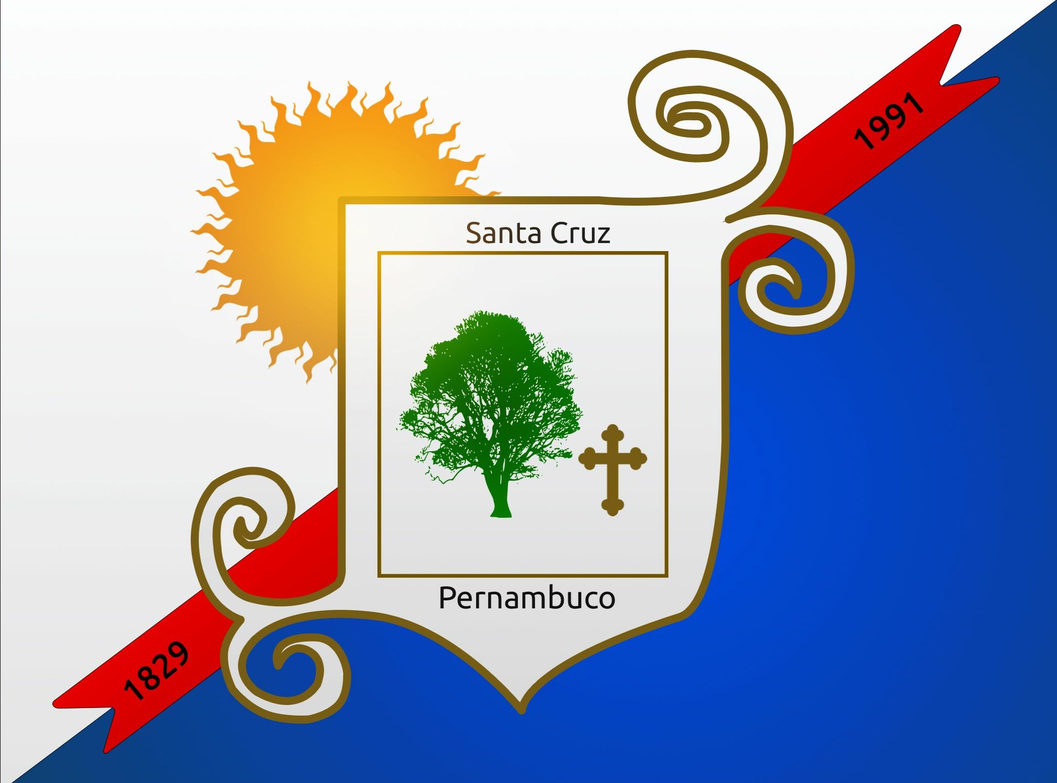
Santa Cruz is a city in the state of Pernambuco, Brazil. The population in 2020, according with IBGE was 15,558 and the area is 1245.9 km². Geography * State - Pernambuco * Region - Sertão Pernambucano * Boundaries - Ouricuri (N); Lagoa Grande (S); Parnamirim and Santa Maria da Boa Vista (E); Dormentes and Santa Filomena (W) * Area - 1255.9 km² * Elevation - 515 m * Hydrography - Brigida and Garças rivers * Vegetation - Caatinga Hiperxerófila * Climate - semi arid - hot and dry * Annual average temperature - 25.0 c * Distance to Recife - 731 km Economy The main economic activities in Santa Cruz are based in agribusiness, especially creation of goats, cattle, sheep, and plantations of tomatoes and manioc ''Manihot esculenta'', commonly called cassava (), manioc, or yuca (among numerous regional names), is a woody shrub of the spurge family, Euphorbiaceae, native to South America. Although a perennial plant, cassava is extensively cul ... [...More Info...] [...Related Items...] OR: [Wikipedia] [Google] [Baidu] |
Ipubi
Ipubi is a city in the state of Pernambuco, Brazil. The population in 2020, according with IBGE was 31,187 inhabitants and the total area is 693.91 km². Geography * State - Pernambuco * Region - Sertão Pernambucano * Boundaries - Ceará state (N); Ouricuri (S); Bodocó (E); Araripina and Trindade (W). * Area - 665.62 km² * Elevation - 535 m * Hydrography - Brigida River * Vegetation - Caatinga * Climate - semi arid - (Sertão) hot * Annual average temperature - 24.8 c * Distance to Recife - 665.8 km Economy The main economic activities in Ipubi are based in industry and agribusiness, especially creation of cattle, sheep, pigss, goats, horses, chickens; and plantations of manioc ''Manihot esculenta'', commonly called cassava (), manioc, or yuca (among numerous regional names), is a woody shrub of the spurge family, Euphorbiaceae, native to South America. Although a perennial plant, cassava is extensively cultivated a ... (over 35,000 tons). ... [...More Info...] [...Related Items...] OR: [Wikipedia] [Google] [Baidu] |
Bodocó
Bodocó is a municipality in the state of Pernambuco, Brazil. Its population in 2020, according to the Brazilian Institute of Geography and Statistics (IBGE), was an estimated 38,378 and its area is 1621.79 km². Bodocó was established in 1909 from territory of the municipality of Granito. Its current mayor () is Otávio Augusto Tavares Pedrosa Cavalcante of the Brazilian Socialist Party, elected in 2020. Geography * Region – Sertão of Pernambuco * Boundaries – state of Ceará (N); Parnamirim (S); Exu and Granito (E); Ouricuri and Ipubi (W) * Area – 1553.85 km² * Elevation – 443 m * Drainage basin – Brigida River * Vegetation – Caatinga (shrubland) * Climate – semi-arid, hot and dry, Köppen: BSh * Annual average temperature – 25.6°C * Distance to Recife – 642.6 km Economy The main economic activities in Bodocó are based in commerce and agribusiness, especially the farming of goats, cattle, sheep, horses, donkeys, pigs, and honey, a ... [...More Info...] [...Related Items...] OR: [Wikipedia] [Google] [Baidu] |
Araripina
Araripina is a Brazilian municipality in the state of Pernambuco. Has an estimated population in 2020 of 84,864 inhabitants according with IBGE. Total area of 1.847,5 km and is located in the state mesoregion of Sertão, at 622 meters above the sea level and 683 km West from the state capital, Recife. The exploration of gypsum (95% of the Brazilian reserves) and calcarium is the base of the local economy and at the homonymous microregion. Geography * State - Pernambuco * Region - Sertao Pernambucano * Boundaries - Ceará (N); Ouricuri (S); Ipubi and Trindade (E); Piaui (W) * Area - 1847.5 km2 * Elevation - 622 m * Hydrography - Brigida River * Vegetation - Caatinga * Climate - Semi desertic ( Sertao)- hot and dry * Annual average temperature - 22.4 c * Main road - BR 232 and BR 316 * Distance to Recife - 683 km Economy The main economic activities in Araripina are based in extraction of gypsum and no metallic minerals; and primary sector especi ... [...More Info...] [...Related Items...] OR: [Wikipedia] [Google] [Baidu] |
Sertão
The ''sertão'' (, plural ''sertões'') is the "hinterland" or "backcountry". In Brazil, it refers both to one of the four sub-regions of the Northeast Region of Brazil (similar to the specific association of "outback" with Australia in English) or the hinterlands of the country in general. Northeast Brazil is largely covered in a scrubby upland forest called a '' caatingas.'' Its borders are not precise. It is an economically poor region that is well-known in Brazilian culture, with a rich history and much folklore, something like the American South. The sertão is also detailed within the famous book of Brazilian literature '' Os Sertões'' (''The Backlands''), which was written by the Brazilian author Euclides da Cunha. Originally the term referred to the vast hinterlands of Asia and South America that Portuguese explorers encountered. In Brazil, it referred to backlands away from the Atlantic coastal regions where the Portuguese first settled in South America in the early si ... [...More Info...] [...Related Items...] OR: [Wikipedia] [Google] [Baidu] |
Bandeira Ouricuri PE
{{Disambiguation, geo ...
Bandeira, a Portuguese-language word for flag, may refer to: People *Bandeira (surname) Places *Bandeira, Minas Gerais, Brazil, a municipality *Bandeira do Sul, Minas Gerais, Brazil *Bandeira River (Chopim River tributary), Brazil *Bandeira River (Piquiri River tributary), Brazil *Pico da Bandeira, the third highest mountain in Brazil *Bandeira Waterfall, East Timor See also *Bandeirantes (other) *Bandeiras (Madalena), a civil parish in the Azores *Banderas (other) Banderas may refer to: People *Alberto Del Rio (Alberto Banderas), Mexican professional wrestler *Antonio Banderas (born 1960), Spanish actor *Josh Banderas (born 1995), American football player *Julie Banderas, American television news corresponde ... [...More Info...] [...Related Items...] OR: [Wikipedia] [Google] [Baidu] |
Brazilian Institute Of Geography And Statistics
The Brazilian Institute of Geography and Statistics ( pt, Instituto Brasileiro de Geografia e Estatística; IBGE) is the agency responsible for official collection of statistical, geographic, cartographic, geodetic and environmental information in Brazil. IBGE performs a decennial national census; questionnaires account for information such as age, household income, literacy, education, occupation and hygiene levels. IBGE is a public institute created in 1936 under the name ''National Institute of Statistics''. Its founder and chief proponent was statistician Mário Augusto Teixeira de Freitas. The current name dates from 1938. Its headquarters are located in Rio de Janeiro, and its current president is Eduardo Rios Neto. It was made a federal agency by Decree-Law No. 161 on February 13, 1967, and is linked to the Ministry of the Economy, inside the Secretariat of Planning, Budget and Management. Structure IBGE has a network of national research and dissemination components ... [...More Info...] [...Related Items...] OR: [Wikipedia] [Google] [Baidu] |
Brazil
Brazil ( pt, Brasil; ), officially the Federative Republic of Brazil (Portuguese: ), is the largest country in both South America and Latin America. At and with over 217 million people, Brazil is the world's fifth-largest country by area and the seventh most populous. Its capital is Brasília, and its most populous city is São Paulo. The federation is composed of the union of the 26 States of Brazil, states and the Federal District (Brazil), Federal District. It is the largest country to have Portuguese language, Portuguese as an List of territorial entities where Portuguese is an official language, official language and the only one in the Americas; one of the most Multiculturalism, multicultural and ethnically diverse nations, due to over a century of mass Immigration to Brazil, immigration from around the world; and the most populous Catholic Church by country, Roman Catholic-majority country. Bounded by the Atlantic Ocean on the east, Brazil has a Coastline of Brazi ... [...More Info...] [...Related Items...] OR: [Wikipedia] [Google] [Baidu] |


