|
Ollerton
Ollerton is a town in the Newark and Sherwood District, Nottinghamshire, England, on the edge of Sherwood Forest in the area known as the Dukeries. It forms part of the civil parish of Ollerton and Boughton. OS Explorer Map 270: Sherwood Forest: (1:25 000): The population of this civil parish at the 2011 census was 9,840. History Ollerton is a settlement listed in Domesday Book, located in the Bassetlaw Wapentake or hundred in the county of Nottinghamshire at a crossing of the River Maun. In 1086 it had a recorded population of 15 households, and is listed in the Domesday Book under two owners. Formerly a rural village with a tradition of hop-growing centred on the parish church of St Giles the settlement has its origins at a point where three main routes cross. The A614 linking Nottingham north through Sherwood Forest to Blyth, Nottinghamshire and on to the large minster town of Doncaster; the A6075 linking Mansfield with the ferry crossing of the River Trent at Dunham-on-Tr ... [...More Info...] [...Related Items...] OR: [Wikipedia] [Google] [Baidu] |
Ollerton And Boughton
Ollerton and Boughton is a civil parish in the Newark and Sherwood district of Nottinghamshire, England. The main settlements are the town of Ollerton and the villages of New Ollerton and Boughton. The civil parish was formed in 1996, when the civil parishes of Ollerton and Boughton were merged. The population of the civil parish at the time of the 2011 census was recorded as 9,840. Ollerton Ollerton, originally known as Alreton or Allerton, meaning 'farm among the alders', is situated at the crossroads of the York to London, Worksop to Newark, and Lincoln to Mansfield roads. Due to its location, in medieval times Ollerton became a meeting place for forest officials, commissioners and Justices of the Peace, leading to the development of its two coaching inns, The White Hart and The Hop Pole. For many years, the main occupation in Ollerton was hop growing – there were hop fields along the River Maun from as early as 1691 and a weekly hop market was held in the town on Fridays. ... [...More Info...] [...Related Items...] OR: [Wikipedia] [Google] [Baidu] |
St Giles' Church, Ollerton
St Giles’ Church, Ollerton is a Grade II listed parish church in the Church of England in Ollerton Ollerton is a town in the Newark and Sherwood District, Nottinghamshire, England, on the edge of Sherwood Forest in the area known as the Dukeries. It forms part of the civil parish of Ollerton and Boughton. OS Explorer Map 270: Sherwood Forest: .... History The church dates from around 1790. Parish status The church is in a joint parish with * St Matthew's Church, Boughton * St Paulinus' Church, New Ollerton References {{DEFAULTSORT:Ollerton Church of England church buildings in Nottinghamshire Grade II listed churches in Nottinghamshire ... [...More Info...] [...Related Items...] OR: [Wikipedia] [Google] [Baidu] |
River Maun
The River Maun is a river in Nottinghamshire, England. Its source lies in Kirkby-in-Ashfield, and from there it flows north east through Mansfield (which takes its name from the river), Edwinstowe and Ollerton, these being the heart of the Sherwood Forest area. It becomes known as Whitewater near the village of Walesby, Nottinghamshire, Walesby and connects to the River Meden temporarily where the Robin Hood Way crosses them. They diverge, and near Markham Moor it merges again with the River Meden this time becoming the River Idle. Its main tributaries are Rainworth Water, Vicar Water and Cauldwell Water. The river has been an important source of power, from at least 1086, when there was a watermill in Mansfield. A big increase in the number of mills began in the 1780s, when the frame knitting industry was decimated by the advent of Richard Arkwright's water-powered spinning frame. William Cavendish-Bentinck, 3rd Duke of Portland, encouraged the building of textile mills to re ... [...More Info...] [...Related Items...] OR: [Wikipedia] [Google] [Baidu] |
Dukeries
The Dukeries is an area of the county of Nottinghamshire so called because it contained four ducal seats. It is south of Worksop, which has been called its "gateway". The area was included within the ancient Sherwood Forest. The ducal seats were: * Worksop Manor: a home of the Dukes of Norfolk, and nearest to Worksop; * Welbeck Abbey: seat of the Dukes of Portland; * Thoresby Hall: seat of the Dukes of Kingston (later of the Earls Manvers); and * Clumber House: seat of the Dukes of Newcastle, since demolished. A fifth large country house, Rufford Abbey in this area belonged to the 2nd to 8th Savile baronets, their later-to-be ennobled heirs (with the territorial designation of Halifax), then from 1888 until 1938 to 1st to 3rd Lords Savile. Welbeck Woodhouse is a further notable mansion, in the former park (grounds) of Welbeck Abbey and was built by Lord Titchfield in the 1930s. Character The Dukeries saw four ducal families close together among the less than twenty current ... [...More Info...] [...Related Items...] OR: [Wikipedia] [Google] [Baidu] |
Sherwood (UK Parliament Constituency)
Sherwood is a constituency represented in the House of Commons of the UK Parliament since 2010 by Mark Spencer, a Conservative. The constituency takes its name from the Sherwood Forest which is in the area. Boundaries 1983–1997: The District of Newark wards of Bilsthorpe, Blidworth, Boughton, Clipstone, Dover Beck, Edwinstowe, Farnsfield, Fishpool, Lowdham, Ollerton North, Ollerton South, Rainworth, and Rufford, the District of Ashfield wards of Hucknall Central, Hucknall East, Hucknall North, and Hucknall West, and the Borough of Gedling wards of Bestwood St Albans (Bestwood Village only), Calverton, Lambley, Newstead, and Woodborough. 1997–2010: The District of Newark and Sherwood wards of Bilsthorpe, Blidworth, Boughton, Clipstone, Dover Beck, Edwinstowe, Farnsfield, Lowdham, Ollerton North, Ollerton South, Rainworth, and Rufford, the District of Ashfield wards of Hucknall Central, Hucknall East, Hucknall North, and Hucknall West, and the Borough of Gedling wards of B ... [...More Info...] [...Related Items...] OR: [Wikipedia] [Google] [Baidu] |
Newark And Sherwood
Newark and Sherwood is a local government district and is the largest district in Nottinghamshire, England. The district was formed on 1 April 1974, by a merger of the municipal borough of Newark with Newark Rural District and Southwell Rural District. The district is predominantly rural, with some large forestry plantations, the ancient Sherwood Forest and the towns of Newark-on-Trent, Southwell and Ollerton. The council is based at Castle House, adjacent to Newark Castle Railway station, having previously used Kelham Hall in the nearby village of Kelham as its headquarters. Settlements Newark-on-Trent, together with Balderton, forms the largest urban area in the district. Newark-on-Trent has many important historic features including Newark Castle, St Mary's Magdalene Church, Georgian architecture and a defensive earthwork from the British Civil Wars. Other important towns in the district include Ollerton and Southwell which is home to Southwell Minster and Southwell ... [...More Info...] [...Related Items...] OR: [Wikipedia] [Google] [Baidu] |
Bassetlaw Wapentake
Bassetlaw was a wapentake (equivalent to a hundred) in the English county of Nottinghamshire. The wapentake covered an area in the north of the county, roughly equivalent to the modern Bassetlaw local government district. The wapentake was divided into the divisions of Hatfield, North Clay and South Clay. The place name Bassetlaw means the hill of the people of Bersa. Bersa was an early Anglo-Saxon leader who settled in the area. The chief town in the hundred was East Retford. Other towns were Tuxford, Worksop and Ollerton (the latter of which is in the modern Newark and Sherwood district). The original meeting place of the wapentake was Blyth Low Hill, while another moot place was an enclosure at East Markham. At some point between 1610 and 1719, it absorbed the Oswaldbeck wapentake, which became the North Clay division. This may originally have met at an enclosure at Gringley-on-the-Hill. Parishes The following ancient parishes were included in the wapentake:F A Youngs, ... [...More Info...] [...Related Items...] OR: [Wikipedia] [Google] [Baidu] |
A57 Road
The A57 is a major road in England. It runs east from Liverpool to Lincoln, England, Lincoln via Warrington, Cadishead, Irlam, Patricroft, Eccles, Greater Manchester, Eccles, Salford, Greater Manchester, Salford and Manchester, then through the Pennines over the Snake Pass (between the high moorlands of Bleaklow and Kinder Scout), around the Ladybower Reservoir, through Sheffield and past Worksop. Between Liverpool and Glossop, the road has largely been superseded by the M62 motorway, M62, M602 motorway, M602 and M67 motorways. Within Manchester a short stretch becomes the Mancunian Way, designated A57(M). Route Liverpool–Warrington The A57 begins at The Strand (A5036) near the River Mersey, as part of Water Street. It forms an east–west route through the north of the city centre with another one-way road system as Tithebarn Street (passing part of Liverpool John Moores University), Great Crosshall Street and Churchill Way in the east direction and Churchill Way and Dale ... [...More Info...] [...Related Items...] OR: [Wikipedia] [Google] [Baidu] |
Mansfield
Mansfield is a market town and the administrative centre of Mansfield District in Nottinghamshire, England. It is the largest town in the wider Mansfield Urban Area (followed by Sutton-in-Ashfield). It gained the Royal Charter of a market town in 1227. The town lies in the Maun Valley, north of Nottingham and near Sutton-in-Ashfield. Most of the 109,000 population live in the town itself (including Mansfield Woodhouse), with Warsop as a secondary centre. Mansfield is the one local authority in Nottinghamshire with a publicly elected mayor. History Roman to Mediaeval Period Settlement dates to the Roman period. Major Hayman Rooke in 1787 discovered a villa between Mansfield Woodhouse and Pleasley; a cache of denarii was found near King's Mill in 1849. Early English royalty stayed there; Mercian Kings used it as a base to hunt in Sherwood Forest. The Royal Manor of Mansfield was held by the King. In 1042 Edward the Confessor possessed a manor in Mansfield. William the Conqu ... [...More Info...] [...Related Items...] OR: [Wikipedia] [Google] [Baidu] |
Nottinghamshire
Nottinghamshire (; abbreviated Notts.) is a landlocked county in the East Midlands region of England, bordering South Yorkshire to the north-west, Lincolnshire to the east, Leicestershire to the south, and Derbyshire to the west. The traditional county town is Nottingham, though the county council is based at County Hall in West Bridgford in the borough of Rushcliffe, at a site facing Nottingham over the River Trent. The districts of Nottinghamshire are Ashfield, Bassetlaw, Broxtowe, Gedling, Mansfield, Newark and Sherwood, and Rushcliffe. The City of Nottingham was administratively part of Nottinghamshire between 1974 and 1998, but is now a unitary authority, remaining part of Nottinghamshire for ceremonial purposes. The county saw a minor change in its coverage as Finningley was moved from the county into South Yorkshire and is part of the City of Doncaster. This is also where the now-closed Doncaster Sheffield Airport is located (formerly Robin Hood Airport). In 20 ... [...More Info...] [...Related Items...] OR: [Wikipedia] [Google] [Baidu] |
1926 United Kingdom General Strike
The 1926 general strike in the United Kingdom was a general strike that lasted nine days, from 4 to 12 May 1926. It was called by the General Council of the Trades Union Congress (TUC) in an unsuccessful attempt to force the British government to act to prevent wage reductions and worsening conditions for 1.2 million locked-out coal miners. Some 1.7 million workers went out, especially in transport and heavy industry. The government was well prepared, and enlisted middle class volunteers to maintain essential services. There was little violence and the TUC gave up in defeat. Causes From 1914 to 1918, the United Kingdom participated in World War I. Heavy domestic use of coal during the war depleted once-rich seams. Britain exported less coal during the war than it would have in peacetime, allowing other countries to fill the gap. This particularly benefited the strong coal industries of the United States, Poland, and Germany. In the early 1880s, coal production was ... [...More Info...] [...Related Items...] OR: [Wikipedia] [Google] [Baidu] |
Newark-on-Trent
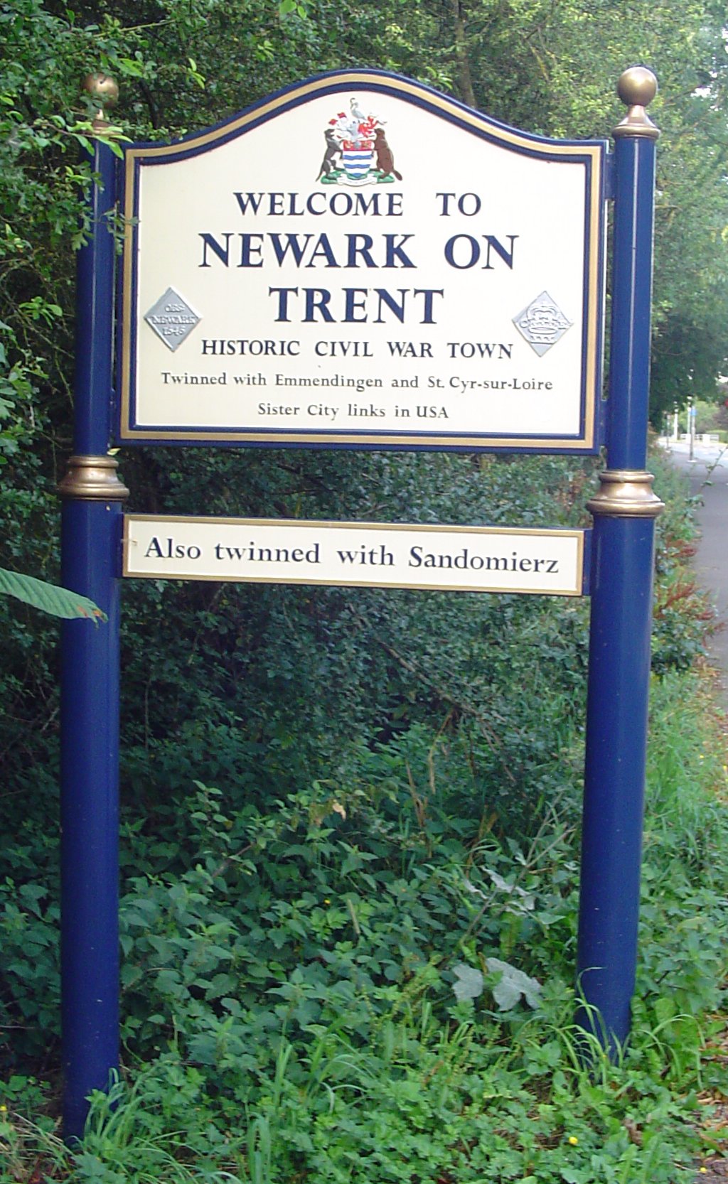
Newark-on-Trent or Newark () is a market town and civil parish in the Newark and Sherwood district in Nottinghamshire, England. It is on the River Trent, and was historically a major inland port. The A1 road (Great Britain), A1 road bypasses the town on the line of the ancient Great North Road (Great Britain), Great North Road. The town's origins are likely to be Roman Britain, Roman, as it lies on a major Roman road, the Fosse Way. It grew up round Newark Castle, Nottinghamshire, Newark Castle and as a centre for the wool and cloth trades. In the English Civil War, it was besieged by Roundheads, Parliamentary forces and Relief of Newark, relieved by Cavaliers, Royalist forces under Prince Rupert. Newark has a market place lined with many historical buildings and one of its most notable landmark is Church of St Mary Magdalene, Newark-on-Trent, St Mary Magdalene church with its towering spire at high and the highest structure in the town. The church is the tallest church in Nott ... [...More Info...] [...Related Items...] OR: [Wikipedia] [Google] [Baidu] |


