|
Old Goa
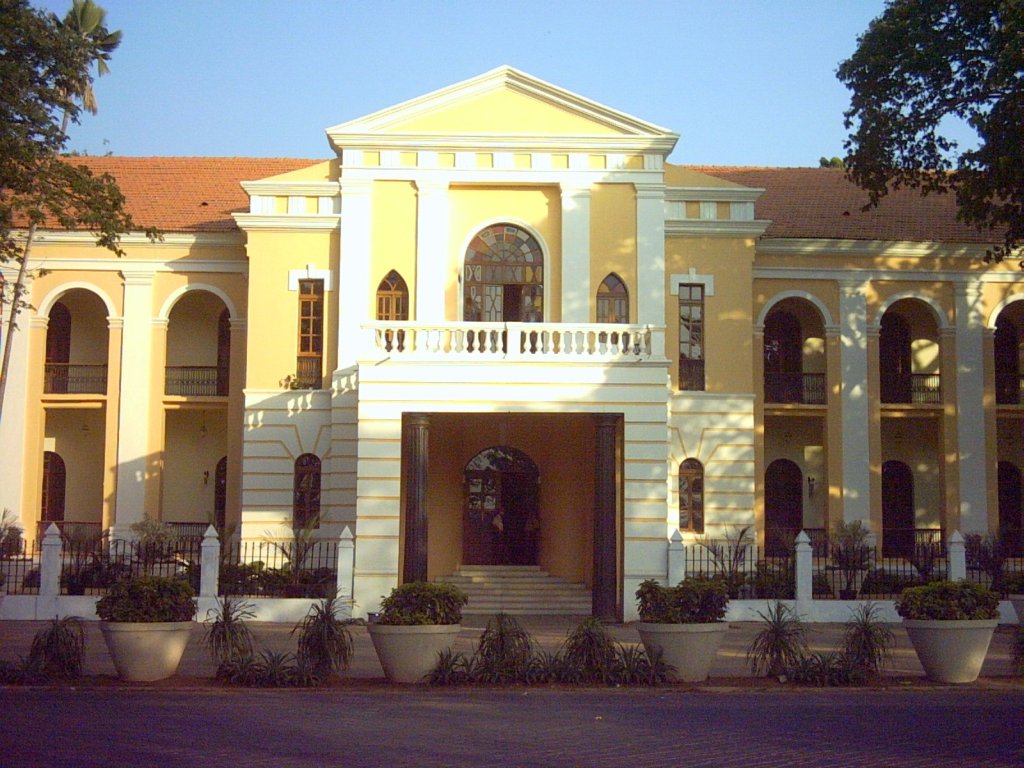
Old Goa (Konkani: ; ) is a historical site and city situated on the southern banks of the River Mandovi, within the Tiswadi ''taluka'' (''Ilhas'') of North Goa district, in the Indian state of Goa. The city was established by the Bijapur Sultanate in the 15th century AD. After the Portuguese conquest of Goa, it served as capital of Portuguese Indian possessions, such as Mumbai/Bombay ('' Bom Bahia'') territory and the state of Kochi/Cochin ('' Cochim''), until its abandonment in the 18th century AD due to a plague. Under Portuguese rule, it is said to have been a city of nearly 200,000 people, from whence the spice trade was carried out across the Portuguese East Indies. The deserted city, containing churches and convents of outstanding architectural and religious importance, has been declared a World Heritage Site by the UNESCO. Old Goa is approximately east of the current state capital of Panjim (). Etymology The name "Old Goa" was first used in the 1960s in the ad ... [...More Info...] [...Related Items...] OR: [Wikipedia] [Google] [Baidu] |
Konkani In The Roman Script
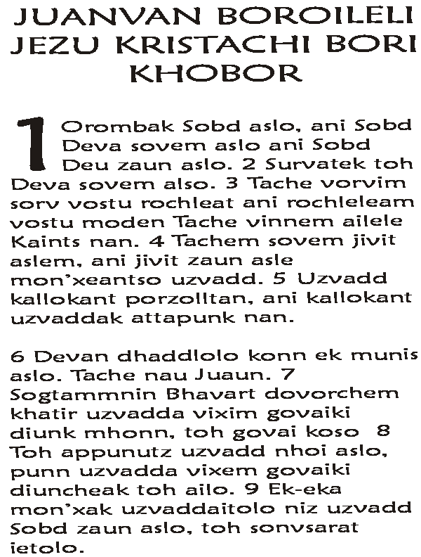
Konkani in the Roman script, commonly known as Roman Konkani or ''Romi Konknni'' () refers to the writing of the Konkani language in the Roman script. While Konkani is written in five different scripts altogether, Roman Konkani is widely used. Roman Konkani is known to be the oldest preserved and protected literary tradition beginning from the 16th century AD. An estimated 500,000 people use Roman Konkani. The use of Devanagari script for Konkani, which is now its official script, first occurred in AD 1187.Mother Tongue blues nbsp;— Madhavi Sardesai Roman Konkani was not mandated as official script by law, for decades even after the Konkani language agitation of the 1960s. Howeve ... [...More Info...] [...Related Items...] OR: [Wikipedia] [Google] [Baidu] |
North Goa District
North Goa district is one of the two districts that constitutes the state of Goa, India. The district has an area of , and is bounded by Kolhapur and Sindhudurg districts of Maharashtra state to the north and by Belgavi district of Karnataka to the east, by South Goa district to the south, and by the Arabian Sea to the west. Historical background At the advent of the Portuguese in AD 1510, all of today's northern territories ( Ilhas, Bardez, Pernem, Bicholim, Antruz, and Sattari) were part of the Bijapur Sultanate. Ilhas and Bardez were annexed by the Portuguese after their successful conquest and the region is now called '' Velhas Conquistas'' (Old Conquests). After the fall of the Deccan sultanates and rise of the Marathas in the late 1600s, the remaining region eventually fell under the control of the Maratha Kingdom of Sawantwadi until AD 1783. These territories were seen as safe haven for the Hindus, Muslims and new-Christians who fled the Portuguese Inquisi ... [...More Info...] [...Related Items...] OR: [Wikipedia] [Google] [Baidu] |
Panjim
Panaji (; , , )also known as Panjim, is the capital of the Indian state of Goa and the headquarters of North Goa district. Previously, it was the territorial capital of the former Portuguese India. It lies on the banks of the Mandovi river estuary in the Tiswadi sub-district (''taluka''). With a population of 114,759 in the metropolitan area, Panaji is Goa's largest urban agglomeration, ahead of Margao and Mormugao. Panaji has terraced hills, concrete buildings with balconies and red-tiled roofs, churches, and a riverside promenade. There are avenues lined with gulmohar, acacia and other trees. The baroque Our Lady of the Immaculate Conception Church, Goa, Our Lady of the Immaculate Conception Church is located overlooking the main square known as Praça da Igreja. Panaji has been selected as one of a hundred Indian cities to be developed as a smart city under the Smart Cities Mission. Panaji's HDI is almost around 0.90, and is considered to be the best amongst other major Indi ... [...More Info...] [...Related Items...] OR: [Wikipedia] [Google] [Baidu] |
UNESCO
The United Nations Educational, Scientific and Cultural Organization (UNESCO ) is a List of specialized agencies of the United Nations, specialized agency of the United Nations (UN) with the aim of promoting world peace and International security, security through international cooperation in education, arts, sciences and culture. It has 194 Member states of UNESCO, member states and 12 associate members, as well as partners in the Non-governmental organization, non-governmental, Intergovernmental organization, intergovernmental and private sector. Headquartered in Paris, France, UNESCO has 53 regional field offices and 199 National Commissions for UNESCO, national commissions. UNESCO was founded in 1945 as the successor to the League of Nations' International Committee on Intellectual Cooperation.English summary). UNESCO's founding mission, which was shaped by the events of World War II, is to advance peace, sustainable development and human rights by facilitating collaboratio ... [...More Info...] [...Related Items...] OR: [Wikipedia] [Google] [Baidu] |
World Heritage Site
World Heritage Sites are landmarks and areas with legal protection under an treaty, international treaty administered by UNESCO for having cultural, historical, or scientific significance. The sites are judged to contain "cultural and natural heritage around the world considered to be of outstanding value to humanity". To be selected, a World Heritage Site is nominated by its host country and determined by the UNESCO's World Heritage Committee to be a unique landmark which is geographically and historically identifiable, having a special cultural or physical significance, and to be under a sufficient system of legal protection. World Heritage Sites might be ancient ruins or historical structures, buildings, cities, deserts, forests, islands, lakes, monuments, mountains or wilderness areas, and others. A World Heritage Site may signify a remarkable accomplishment of humankind and serve as evidence of humanity's intellectual history on the planet, or it might be a place of grea ... [...More Info...] [...Related Items...] OR: [Wikipedia] [Google] [Baidu] |
Portuguese East Indies
The Portuguese Empire was a colonial empire that existed between 1415 and 1999. In conjunction with the Spanish Empire, it ushered in the European Age of Discovery. It achieved a global scale, controlling vast portions of the Americas, Africa and various islands in Asia and Oceania. It was one of the most powerful empires of the early modern period, while at its greatest extent in 1820, covering 5.5 million square km ( million square miles), making it among the List of largest empires, largest empires in history. Composed of colonialism, colonies, Factory (trading post)#Portuguese feitorias (c. 1445), factories, and later Territory#Overseas territory, overseas territories, it was the longest-lived colonial empire in history, from the conquest of Ceuta in North Africa in 1415 to the handover of Macau to China in 1999. The power and influence of the Kingdom of Portugal would eventually expand across the globe. In the wake of the Reconquista, Portuguese maritime exploration, Port ... [...More Info...] [...Related Items...] OR: [Wikipedia] [Google] [Baidu] |
Spice Trade
The spice trade involved historical civilizations in Asia, Northeast Africa and Europe. Spices, such as cinnamon, cassia, cardamom, ginger, pepper, nutmeg, star anise, clove, and turmeric, were known and used in antiquity and traded in the Eastern World. These spices found their way into the Near East before the beginning of the Christian era, with fantastic tales hiding their true sources. The maritime aspect of the trade was dominated by the Austronesian peoples in Southeast Asia, namely the ancient Indonesian sailors who established routes from Southeast Asia to Sri Lanka and India (and later China) by 1500 BC. These goods were then transported by land toward the Mediterranean and the Greco-Roman world via the incense route and the Roman–India routes by Indian and Persian traders.Fage 1975: 164 The Austronesian maritime trade lanes later expanded into the Middle East and eastern Africa by the 1st millennium AD, resulting in the Austronesian colonization of Madagas ... [...More Info...] [...Related Items...] OR: [Wikipedia] [Google] [Baidu] |
Plague (disease)
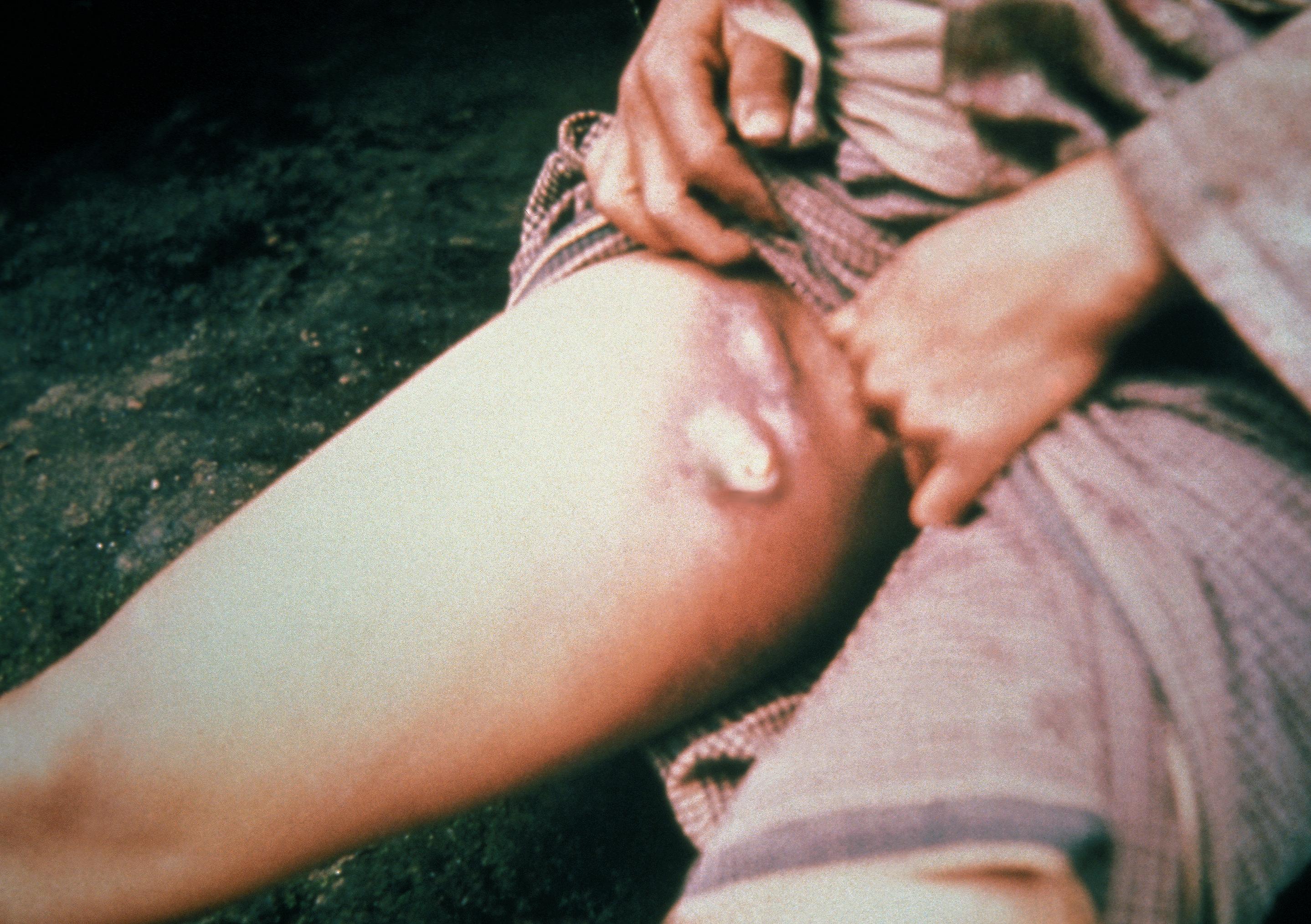
Plague is an infectious disease caused by the bacterium '' Yersinia pestis''. Symptoms include fever, weakness and headache. Usually this begins one to seven days after exposure. There are three forms of plague, each affecting a different part of the body and causing associated symptoms. Pneumonic plague infects the lungs, causing shortness of breath, coughing and chest pain; bubonic plague affects the lymph nodes, making them swell; and septicemic plague infects the blood and can cause tissues to turn black and die. The bubonic and septicemic forms are generally spread by flea bites or handling an infected animal, whereas pneumonic plague is generally spread between people through the air via infectious droplets. Diagnosis is typically by finding the bacterium in fluid from a lymph node, blood or sputum. Those at high risk may be vaccinated. Those exposed to a case of pneumonic plague may be treated with preventive medication. If infected, treatment is with antibiotics a ... [...More Info...] [...Related Items...] OR: [Wikipedia] [Google] [Baidu] |
Cochin State
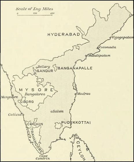
The kingdom of Cochin or the Cochin State, named after its capital in the city of Kochi (Cochin), was a kingdom in the central part of present-day Kerala state. It originated in the early part of the 12th century and continued to rule until its accession to the Dominion of India in 1949. The kingdom of Cochin, originally known as Perumpadappu Swarupam, was under the rule of the Later Cheras in the Middle Ages. After the fall of the Mahodayapuram Cheras in the 12th century, along with numerous other provinces Perumpadappu Swarupam became a free political entity. However, it was only after the arrival of Portuguese on the Malabar Coast that the Perumpadappu Swarupam acquires any political importance. Perumpadappu rulers had family relationships with the Nambudiri rulers of Edappally. After the transfer of Kochi and Vypin from the Edappally rulers to the Perumpadappu rulers, the latter came to be known as kings of Kochi. Historically, the capital of Cochin was in Kodungallu ... [...More Info...] [...Related Items...] OR: [Wikipedia] [Google] [Baidu] |
Portuguese India
The State of India, also known as the Portuguese State of India or Portuguese India, was a state of the Portuguese Empire founded seven years after the discovery of the sea route to the Indian subcontinent by Vasco da Gama, a subject of the Kingdom of Portugal. The capital of Portuguese India served as the governing centre of a string of military forts and maritime ports scattered along the coasts of the Indian Ocean. The first viceroy Francisco de Almeida established his base of operations at Fort Manuel in the Malabar region, after the Kingdom of Cochin negotiated to become a protectorate of Portugal in 1505. With the Portuguese conquest of Goa from the Bijapur Sultanate in 1510, Goa became the major anchorage for the Armadas arriving in India. The capital of the viceroyalty was transferred from Cochin to Goa in 1530. From 1535, Mumbai (Bombay) was a harbour of Portuguese India, known as '' Bom Bahia'', until it was handed over, through the Marriage Treaty, dowry o ... [...More Info...] [...Related Items...] OR: [Wikipedia] [Google] [Baidu] |


