|
OberûÊgeri
OberûÊgeri, until 1798 simply known as ûgeri, is a municipalities of Switzerland, municipality in the canton of Zug in Switzerland. History OberûÊgeri first appears in historical documents in 1150 as ''Agregia''. In 1538 it was mentioned as ''Ober Egere''. The first church in the valley was built in 876. After 1100, the land belonged to the monastery of Einsiedeln Abbey, Einsiedeln, and was influenced by the Battle of Morgarten. The Battle of Morgarten occurred on 15 November 1315 at Morgarten (now part of OberûÊgeri) and near neighboring Sattel, Switzerland, Sattel. It began when a Swiss Confederation force of 1,500 infantry archers, led by Werner Stauffacher, ambushed a group of Austrian soldiers of the Holy Roman Empire under the command of Leopold I of Austria (Habsburg), Duke Leopold I of Austria near the Morgarten Pass. The Swiss thoroughly defeated the Austrians. The Confederates prepared a road-block and an ambush at a point between Lake Aegeri and Morgarten Pass wher ... [...More Info...] [...Related Items...] OR: [Wikipedia] [Google] [Baidu] |
UnterûÊgeri
UnterûÊgeri is a municipality in the canton of Zug in Switzerland. History OberûÊgeri is first mentioned in 1150 as ''Agregia''. In 1538 it was mentioned as ''Ober Egere''. The first church in the valley was built in 876. After 1100, the land belonged to the monastery on Einsiedeln, and was influenced by the Battle of Morgarten. The municipality came into existence in the 15th century. Around 1500, several chapels and the first government building were built in OberûÊgeri. In 1669 the municipality gained the right to elect its own priest. In 1726 the church was burgled. In 1766 the governments of OberûÊgeri and UnterûÊgeri (at the time known as WilûÊgeri) became involved in an open fight during local parliamentary sessions, and the two municipalities split in 1798. Geography UnterûÊgeri has an area, , of . Of this area, 37.1% is used for agricultural purposes, while 54.3% is forested. Of the rest of the land, 6.7% is settled (buildings or roads) and the remainder (1.8%) i ... [...More Info...] [...Related Items...] OR: [Wikipedia] [Google] [Baidu] |
Canton Of Zug
The canton of Zug or canton of Zoug (, Standard German: , Alemannic German: ; ; ; ) is one of the 26 cantons of Switzerland. It is located in central Switzerland and its Capital (political), capital is Zug. At the canton is one of the smallest of the Swiss cantons in terms of area. It is not subdivided into districts, but eleven municipalities. History The first trace of a settlement in the canton dates from approximately 14,000 BC, with additional finds from the Paleolithic (12,400-9250 BC) and the Mesolithic (9250-5500 BC). During the Neolithic (5500-2200 BC) and the Bronze Age (2200-850 BC) about 50 different stilt house villages were built in 33 locations around Lake Zug. Some of these sites are part of the UNESCO World Heritage Site Prehistoric pile dwellings around the Alps. Prehistoric sites around the lake and throughout the canton include examples from the Neolithic Egolzwiler, Cortaillod culture, Cortaillod, Pfyn culture, Pfyn and Horgen culture, Horgen cultures. Tr ... [...More Info...] [...Related Items...] OR: [Wikipedia] [Google] [Baidu] |
ûgerisee
__NOTOC__ ûgerisee or Lake Aegeri is a glacial lake in the Canton of Zug, Switzerland. The two municipalities along its shore are OberûÊgeri and UnterûÊgeri. The main tributary is the ''Hû¥ribach''; the Lorze river drains the ûgerisee. Since 1992 the lake has been used as a water reservoir. The Battle of Morgarten took place in 1315 on the shores of the ûgerisee. Gallery CH-NB - Morgarten - Collection Gugelmann - GS-GUGE-ENGELBRECHT-C-3.tif File:Aegerisee Winter Mostelberg.jpg File:Aegerisee.okt.2017.jpg File:Blick Richtung Sû¥den auf den ûgerisee von OberûÊgeri, Kanton Zug, Schweiz.jpg File:Wandern am ûgerisee.jpg File:Morgarten am ûgerisee 01.JPG See also * List of lakes of Switzerland External links *Waterlevels at UnterûÊgeri from the Swiss Federal Office for the Environment Lakes of Switzerland Lakes of the canton of Zug Reuss basin, LAgeri Glacial lakes {{Switzerland-lake-stub ... [...More Info...] [...Related Items...] OR: [Wikipedia] [Google] [Baidu] |
Sattel
Sattel is a municipality in Schwyz District in the canton of Schwyz in Switzerland. Its name is the German word for "saddle". History The Battle of Morgarten occurred on 15 November 1315 near Sattel, at Morgarten (now part of OberûÊgeri). It began when a Swiss Confederation force of 1,500 infantry archers ambushed a group of Austrian soldiers of the Holy Roman Empire near the Morgarten Pass. The Swiss, led by Werner Stauffacher, thoroughly defeated the Austrians, who were under the command of Duke Leopold I of Austria. The Confederates prepared a road-block and an ambush at a point between Lake Aegeri and Morgarten pass where the small path led between the steep slope and a swamp. When about 1500 men attacked from above with rocks, logs and halberds, the knights had no room to defend themselves and suffered a crushing defeat, while the foot soldiers in the rear fled back to the city of Zug. A chronicler described the Confederates, unfamiliar with the customs of battles betwe ... [...More Info...] [...Related Items...] OR: [Wikipedia] [Google] [Baidu] |
Einsiedeln, Switzerland
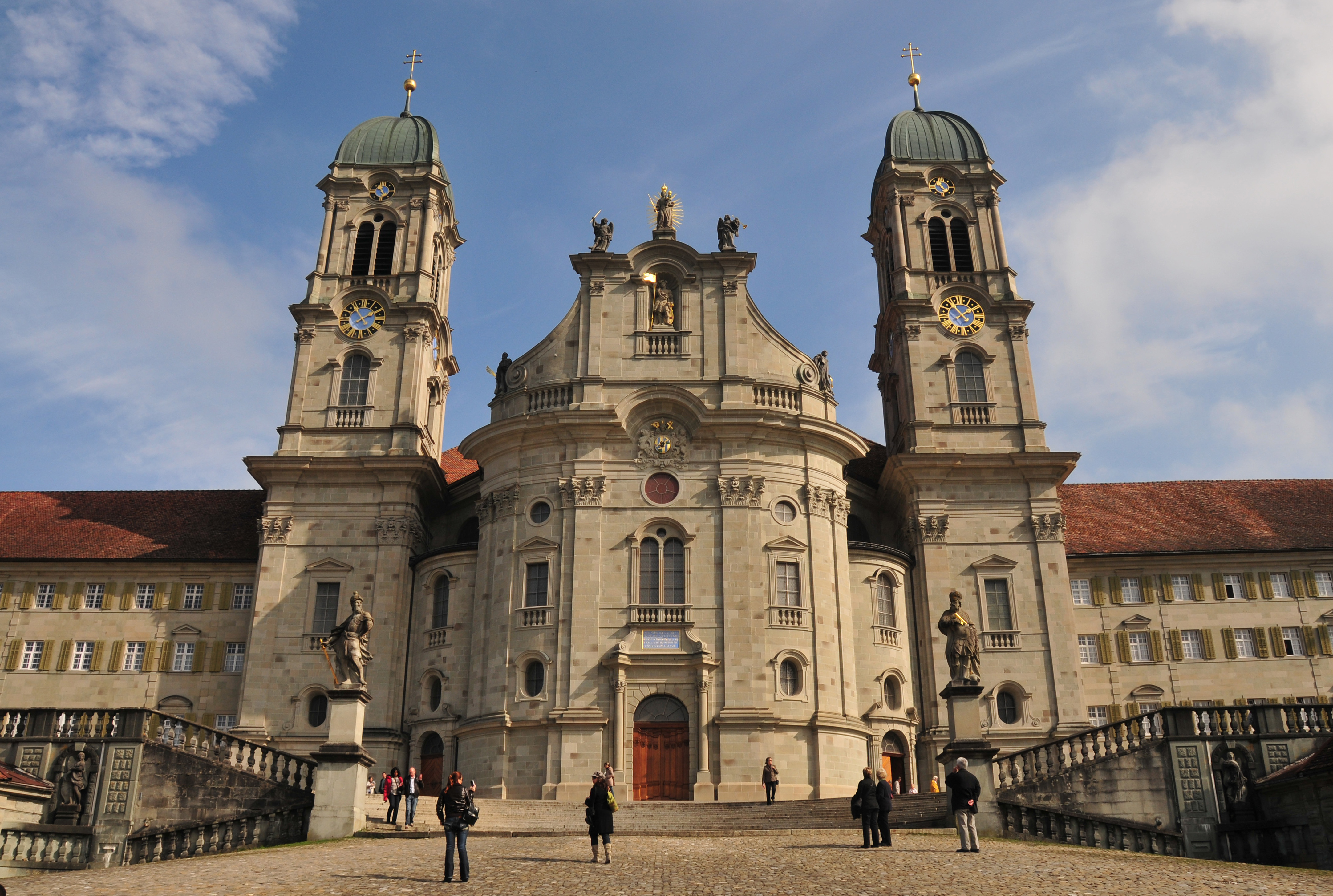
Einsiedeln () is a municipality and district in the canton of Schwyz in Switzerland known for its monastery, the Benedictine Einsiedeln Abbey, established in the 10th century. History Early history There was no permanent settlement in the area prior to the early medieval period, but numerous artefacts left by prehistoric hunters, dated to the Mesolithic to Bronze Age were recovered. The original " hermitage" is associated with St. Meinrad, a Benedictine monk from the family of the Counts of Hohenzollern. According to legend, Meinrad lived on the slopes of Mt. Etzel from 835 until his death in 861. During the next eighty years Saint Meinrad's hermitage was never without one or more hermits emulating his example. One of the hermits, named Eberhard, previously Provost of Strasburg, erected a monastery and church there, of which he became first abbot. Work on the monastery is said to have begun in 934. [...More Info...] [...Related Items...] OR: [Wikipedia] [Google] [Baidu] |
Hû¥tten, Switzerland
Hû¥tten is a former municipality in the district of Horgen in the canton of Zû¥rich in Switzerland. On 1 January 2019 the former municipalities of Hû¥tten and SchûÑnenberg merged into the municipality of WûÊdenswil. History Hû¥tten is first mentioned in 1270 as ''ze dien Hû¥tten''. Geography Hû¥tten has an area of . Of this area, 52.9% is used for agricultural purposes, while 36.7% is forested. Of the rest of the land, 5.5% is settled (buildings or roads) and the remainder (4.8%) is non-productive (rivers, glaciers or mountains). housing and buildings made up 2.8% of the total area, while transportation infrastructure made up the rest (2.8%). Of the total unproductive area, water (streams and lakes) made up 2.8% of the area. 1.8% of the total municipal area was undergoing some type of construction. The municipality is near the Hû¥ttnersee, a small lake shared with Richterswil. It is a linear village (''Strassendorf'') made up of hamlets and farm houses along both side ... [...More Info...] [...Related Items...] OR: [Wikipedia] [Google] [Baidu] |
Menzingen
Menzingen is a municipalities of Switzerland, municipality in the Cantons of Switzerland, canton of Zug (canton), Zug in Switzerland. History Menzingen is first mentioned around 1217-22 as ''Meincingin''. The traditionalist Society of Saint Pius X, which is juridically irregular with the Catholic Church, Vatican over "doctrinal difficulties" with the teachings of the Second Vatican Council, is headquartered in Menzingen. Geography Menzingen has an area, , of . Of this area, 62.5% is used for agricultural purposes, while 28.3% is forested. Of the rest of the land, 7.6% is settled (buildings or roads) and the remainder (1.5%) is non-productive (rivers, glaciers or mountains). The municipality is located on a moraine plateau between the Lorze and Sihl rivers at an elevation of about . In 1848 the municipality of Neuheim separated from Menzingen. It consists of the village of Menzingen and a number of hamlet (place), hamlets and individual farm houses. It includes Edlibach a ... [...More Info...] [...Related Items...] OR: [Wikipedia] [Google] [Baidu] |
Rothenthurm
Rothenthurm is a Municipalities of Switzerland, municipality in Schwyz District in the canton of Schwyz in Switzerland. History The Campaigns of 1798 in the French Revolutionary Wars#Other campaigns, French invasion of Switzerland in 1798 brought about a swift end of the Early Modern Switzerland, Ancien Rûˋgime. The French victories against the larger cities of the swiss plateau led to the creation of the French supported Helvetic Republic on 12 April 1798. Following the declaration of the Republic, the Cantons of Canton of Uri, Uri, Schwyz and Canton of Nidwalden, Nidwalden rejected it and raised an army to fight the French. Under Alois von Reding they were able to raise about 10,000 men. This army was deployed along the defensive line from Napf to Rapperswil. General Reding besieged French controlled Lucerne and marched across the Brû¥nig pass into the Berner Oberland to support the armies of Berne. At the same time, the French General Balthazar Alexis Henri Schauenburg ma ... [...More Info...] [...Related Items...] OR: [Wikipedia] [Google] [Baidu] |
Feusisberg
Feusisberg is a Municipalities of Switzerland, municipality in HûÑfe District in the canton of Schwyz in Switzerland. History Feusisberg is first mentioned in the 13th century as ''Berg'' and ''Uffenberg''. In the 16th century it was known as ''Fessisskilch'' and in 1590 it was mentioned as ''FûÑussisberg''. Geography Feusisberg has an area, , of . Of this area, 48.8% is used for agricultural purposes, while 41.2% is forested. Of the rest of the land, 8.6% is settled (buildings or roads) and the remainder (1.4%) is non-productive (rivers, glaciers or mountains). The municipality is located on a terrace below the Etzel (mountain), Etzel mountain and overlooking Lake Zurich at an elevation of between above sea level. It consists of the villages of Feusisberg and Schindellegi as well as part of Biberbrugg. about two-thirds of the population of the municipality lived in Schindellegi. Demographics Feusisberg has a population (as of ) of . , 20.0% of the population was made ... [...More Info...] [...Related Items...] OR: [Wikipedia] [Google] [Baidu] |
Battle Of Morgarten
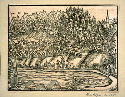
The Battle of Morgarten took place on 15 November 1315, when troops of Schwyz, supported by their allies of Uri and Unterwalden, ambushed an Austrian army under the command of Leopold I, Duke of Austria on the shores of Lake ûgeri, in the territory of Schwyz. After a brief close-quarters battle, the Austrian army was routed, with numerous slain or drowned. The Swiss victory consolidated the League of the Three Forest Cantons, which formed the core of the Old Swiss Confederacy. Background Toward the end of the 13th century the House of Habsburg coveted the area around the Gotthard Pass, as it offered the shortest passage to Italy. However, the Confederates of Uri, Schwyz and Unterwalden, which had formalized the Swiss Confederacy in 1291, held imperial freedom letters from former Habsburg emperors granting them local autonomy within the empire. In 1314 tensions between the Habsburgs and Confederates heightened when Duke Louis IV of Bavaria (who would become Louis ... [...More Info...] [...Related Items...] OR: [Wikipedia] [Google] [Baidu] |


