|
Oakley-class Lifeboat
The Oakley-class lifeboat refers to two types of self-righting lifeboat operated by the Royal National Lifeboat Institution (RNLI) around the coast of the United Kingdom and Ireland between 1958 and 1993. The Oakley was designed for carriage launching, while the larger version was designed for slipway launching or to lie afloat. During their service they saved a combined total of 1,456 lives in 3,734 rescue launches. The class is known by the name of its designer, RNLI naval architect Richard Oakley. History During the first half of the twentieth century the RNLI had equipped its lifeboat stations with motor lifeboats designed by G L Watson and, later, J R Barnett. Both these men had designed boats that were generally stable, but unlike the earlier boats, were not self-righting. Part of the problem was that motor lifeboats were much heavier than pulling and sailing boats, which could be packed with cork to make them buoyant. Richard Oakley worked out how to use shifting wat ... [...More Info...] [...Related Items...] OR: [Wikipedia] [Google] [Baidu] |
Littlehampton
Littlehampton is a town, seaside resort, and pleasure harbour, and the most populous civil parish in the Arun District of West Sussex, England. It lies on the English Channel on the eastern bank of the mouth of the River Arun. It is south south-west of London, west of Brighton and east of the county town of Chichester. The parish covers an area of . The suburban area of the town has a population of approximately 55,000. The conurbation includes other settlements: Wick in the north west; Lyminster to the north; and Rustington to the east. Wick and Toddington, which has a large business park, became part of the town in 1901. Nearby towns include Bognor Regis ( WSW) and Worthing to the east. The town is also the westernmost settlement of the 15th largest urban area in England and Wales, the Brighton/Worthing/Littlehampton conurbation, a region encompassing 474,485 people (2011 census). The South Downs National Park commences north of the town: Littlehampton links to Amber ... [...More Info...] [...Related Items...] OR: [Wikipedia] [Google] [Baidu] |
RNLB Manchester Unity Of Oddfellows (ON 960)
'' The Manchester Unity of Oddfellows'' (RNLI Official Number 960) was an lifeboat of the Royal National Lifeboat Institution (RNLI)Sheringham Lifeboats: By Leach, Nicholas and Russell, Paul :Published by landmark Pub Ltd, 2009: The Sheringham Lifeboats, 1838-200: By Bensley, Mick: Published :Bengunn 2003: stationed at in the English county of Norfolk''OS Explorer Map 252 - Norfolk Coast East''. . from 10 July 1961 until 1990 when she was replaced after 29 years service by an second generation Rigid Inflatable Boat (RIB) in May 1992. During the time that ''The Manchester Unity of Oddfellows'' was on station at Sheringham, she performed 127 service launches, rescuing 134 lives. Design and construction ''The Manchester Unity of Oddfellows'' was built at the yard of William Osborne at Littlehampton, West Sussex.Oakley Class Lifeboats: An Illustrated History of the RNLI's Oakley and Rother Lifeboats: By Leach, Nicholas :Published by The History Press Ltd: She was an Oakley clas ... [...More Info...] [...Related Items...] OR: [Wikipedia] [Google] [Baidu] |
Land's End
Land's End ( kw, Penn an Wlas or ''Pedn an Wlas'') is a headland and tourist and holiday complex in western Cornwall, England, on the Penwith peninsula about west-south-west of Penzance at the western end of the A30 road. To the east of it is the English Channel, and to the west the Celtic Sea. Land's End is the most westerly point of mainland England. However, it is not the westernmost point on mainland Great Britain, as this title narrowly goes to Corrachadh Mòr in the Scottish Highlands. Geography The actual Land's End, or Peal Point, is a modest headland compared with nearby headlands such as Pedn-men-dhu overlooking Sennen Cove and Pordenack, to the south. The present hotel and tourist complex is at Carn Kez, south of the actual Land's End. Land's End has a particular resonance because it is often used to suggest distance. Land's End to John o' Groats in Scotland is a distance of by road and this ''Land's End to John o' Groats'' distance is often used to define chari ... [...More Info...] [...Related Items...] OR: [Wikipedia] [Google] [Baidu] |
RNLB Lady Murphy (ON 997)
Many lives have been lost by lifeboat crews going to the aid of people and vessels in distress at sea and around the coasts of Britain and Ireland ( UK, Republic of Ireland, Channel Islands and the Isle of Man), mainly but not exclusively in the service of the Royal National Lifeboat Institution (RNLI). More than 600 names are inscribed on the RNLI Memorial at RNLI HQ, Poole. Some losses predate the RNLI (founded in 1824). 19th century In the 19th century, lifeboats were almost exclusively oar and sail powered. Self-righting boats had been developed but were not yet widely adopted. 20th century During the 20th century many advances were made in safety and durability of lifeboats, including self-righting and motor power. Life jackets were continuously being improved. See also *Royal National Lifeboat Institution * List of RNLI stations * Independent lifeboats in Britain and Ireland References {{Lifeboat wrecks and rescues , state=collapsed Royal National Lifeboat Instit ... [...More Info...] [...Related Items...] OR: [Wikipedia] [Google] [Baidu] |
Moelfre, Anglesey
Moelfre () is a village, a community and, until 2012, an electoral ward on the north-east coast of the Isle of Anglesey in Wales. The community area covers the village and harbour, and several smaller, dispersed settlements. It includes six scheduled Iron Age hut groups and many other sites of archaeological interest. The harbour was formerly a local fishing port; a lifeboat station has been based here since 1854. Among many shipwrecks off the coast was that of the Royal Charter in 1859. Near the modernised lifeboat station is the RNLI Seawatch Centre. The coastline includes a rocky headland north of the village and a large sandy beach at Lligwy Bay, both traversed by the Anglesey Coastal Path. The 2011 census measured the village population as 710. It was estimated at 614 in 2019. Location The village of Moelfre wraps around a small harbour sheltered from the north by a substantial headland and the rocky island of Ynys Moelfre. Also within Moelfre Community are the more dispers ... [...More Info...] [...Related Items...] OR: [Wikipedia] [Google] [Baidu] |
South Ferriby
South Ferriby is a village in North Lincolnshire, England. It is situated on the south bank of the Humber Estuary and west from the Humber Bridge. North Ferriby is directly opposite on the Estuary's north bank. Village population was 651 in 2011. History South Ferriby dates back at least to Roman times when there was a major settlement. It is known locally as one of the 'Low Villages' at the bottom of a chalk escarpment, where the chalk meets the clay to give, before piped water, (the village was one of the first to have piped water with houses plumbing into the supply which was put down to supply steam ships) to the a plentiful water supply. It also marks the point where the Lincolnshire Wolds meet the Humber Estuary and was, as the name suggests, the southern end of an ancient ferry over the Humber to North Ferriby. The entry in the ''Domesday Book'' of 1086 records a church, a mill and two ferries. To sustain two ferries suggests that a prosperous trading community must h ... [...More Info...] [...Related Items...] OR: [Wikipedia] [Google] [Baidu] |
RNLB Lloyds II (ON 986)
RNLB ''Lloyds II'' (ON 986) was an lifeboat of the Royal National Lifeboat Institution (RNLI) stationed at Sheringham in the English county of Norfolk from 8 October 1990 until April 1992, when she was replaced by the second generation Rigid Inflatable Boat (RIB) ''Manchester Unity of Oddfellows'' in April 1992. During the time that the ''Lloyds II'' was on station at Sheringham, she performed 13 service launches. Design and construction ''Lloyds II'' was built at the yard of Morris and Lorimer at Sandbank, Argyll. She was an Oakley-class self-righting design which combined great stability with the ability to self-right in the event of the lifeboat capsizing. This was achieved by a system of shifting water ballast. The system worked by the lifeboat taking on one and half tons of sea water at launching into a tank built into the base of the hull. If the lifeboat then reached a crucial point of capsize the ballast water would transfer through valves to a righting tank built ... [...More Info...] [...Related Items...] OR: [Wikipedia] [Google] [Baidu] |
Harwich
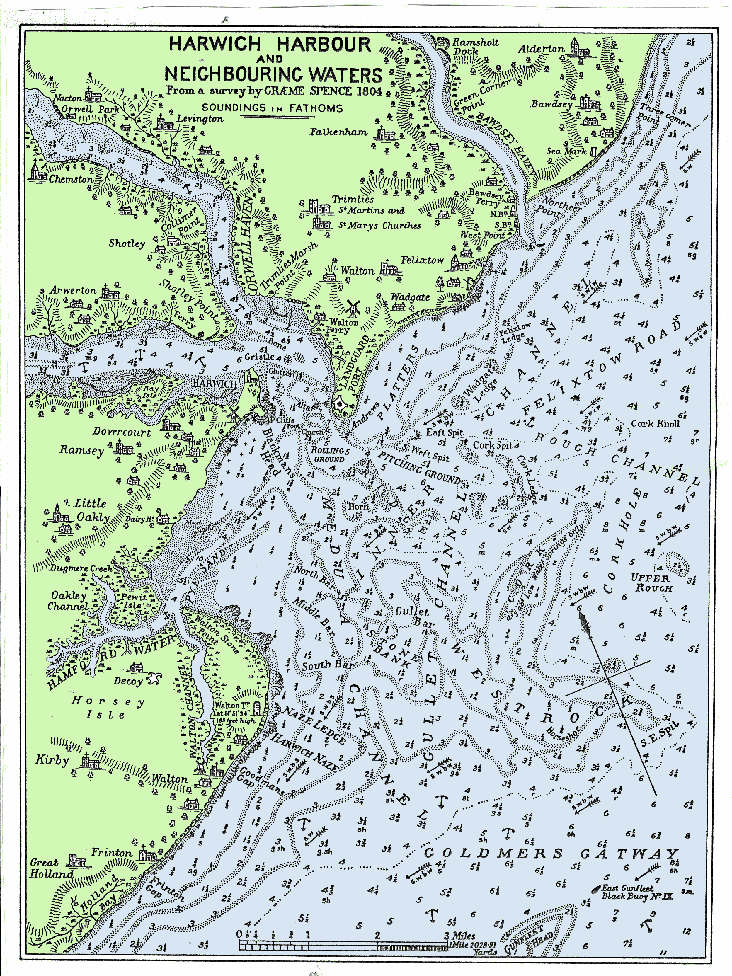
Harwich is a town in Essex, England, and one of the Haven ports on the North Sea coast. It is in the Tendring district. Nearby places include Felixstowe to the north-east, Ipswich to the north-west, Colchester to the south-west and Clacton-on-Sea to the south. It is the northernmost coastal town in Essex. Its position on the estuaries of the Stour and Orwell rivers, with its usefulness to mariners as the only safe anchorage between the Thames and the Humber, led to a long period of civil and military maritime significance. The town became a naval base in 1657 and was heavily fortified, with Harwich Redoubt, Beacon Hill Battery, and Bath Side Battery. Harwich is the likely launch point of the ''Mayflower'', which carried English Puritans to North America, and is the presumed birthplace of ''Mayflower'' captain Christopher Jones. Harwich today is contiguous with Dovercourt and the two, along with Parkeston, are often referred to collectively as ''Harwich''. History The tow ... [...More Info...] [...Related Items...] OR: [Wikipedia] [Google] [Baidu] |
Spalding, Lincolnshire
Spalding () is a market town on the River Welland in the South Holland district of Lincolnshire, England. The town had a population of 31,588 at the 2011 census. The town is the administrative centre of the South Holland District. The town is located between the cities of Peterborough and Lincoln, as well as the towns of Bourne, March, Boston, Wisbech, Holbeach and Sleaford. The town was well known for the annual Spalding Flower Parade, held from 1959 to 2013. The parade celebrated the region's vast tulip production and the cultural links between the Fens and the landscape and people of South Holland. At one time, it attracted crowds of more than 100,000. Since 2002 the town has held an annual pumpkin festival in October. History Ancient Archaeological excavations at Wygate Park in Spalding have shown that there has been occupation in this area from at least the Roman period, when this part of Lincolnshire was used for the production of salt. It was a coastal siltland. At Wyg ... [...More Info...] [...Related Items...] OR: [Wikipedia] [Google] [Baidu] |
Highbury
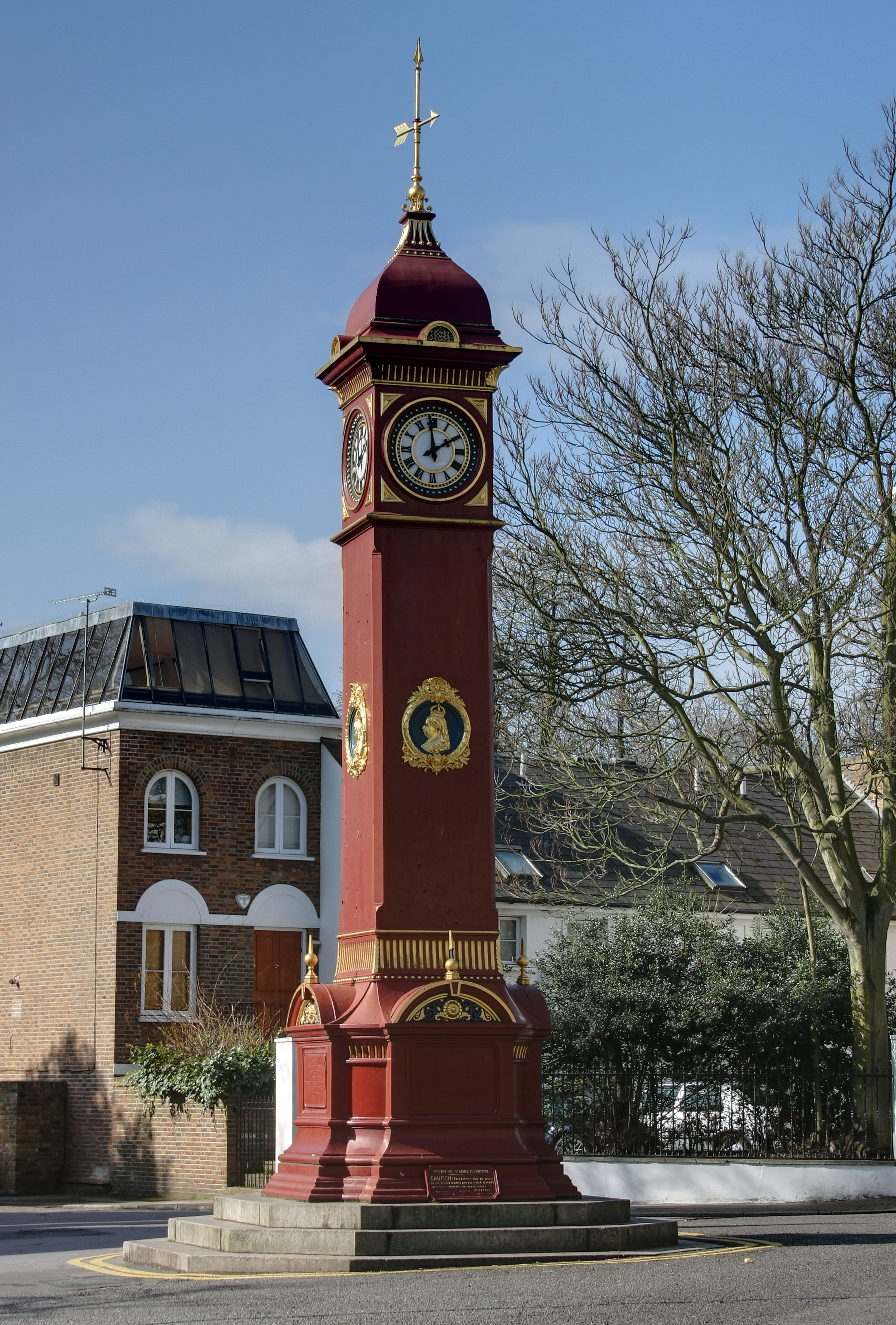
Highbury is a district in North London and part of the London Borough of Islington in Greater London that was owned by Ranulf brother of Ilger and included all the areas north and east of Canonbury and Holloway Roads. The manor house was situated by what is now the east side of Hornsey Road near the junction with Seven Sisters Road. After the manor decayed, a new manor house was built in 1271 (see below) to the south-east; to differentiate it from the original manor and because it was on a hill, it was called Highbury, from which the area takes its name. The site for Highbury Manor was possibly used by a Roman garrison as a summer camp. During the construction of a new Highbury House in 1781, tiles were found that could have been Roman or Norman; however, these have been lost. Highbury Manor Ownership of Highbury eventually passed to Alicia de Barrow, who in 1271 gave it to the Priory of St John of Jerusalem, also known as the Knights Hospitallers in England. The wealthy ... [...More Info...] [...Related Items...] OR: [Wikipedia] [Google] [Baidu] |
Charlestown, Cornwall
Charlestown ( kw, Porth Meur, meaning ''great cove'') is a village and port on the south coast of Cornwall, United Kingdom, and in the civil parish of St Austell Bay. It is situated approximately south east of St Austell town centre. The port at Charlestown developed in the late 18th century from the fishing village of West Polmear. Whereas other areas of St Austell have seen much development during the 20th century, Charlestown has remained relatively unchanged. History Charlestown grew out of the small fishing village of West Polmear (or West Porthmear), which consisted of a few cottages and three cellars, in which the catch of pilchards were processed. The population amounted to nine fishermen and their families in 1790. Before the harbour was built, trading vessels landed and loaded on the beach. Charles Rashleigh, who moved to Duporth Manor, just outside the village, used plans prepared by John Smeaton to begin the construction of a harbour and dock in 1791. After bu ... [...More Info...] [...Related Items...] OR: [Wikipedia] [Google] [Baidu] |
Redcar
Redcar is a seaside town on the Yorkshire Coast in the Redcar and Cleveland unitary authority in the county of North Yorkshire, England. It is located east of Middlesbrough. The Teesside built-up area's Redcar subdivision had a population of 37,073 at the 2011 UK Census, 2011 Census. The town is made up of Coatham, Dormanstown, Kirkleatham, Newcomen, West Dyke, Wheatlands and Zetland. It gained a town charter in 1922, from then until 1968 it was governed by the municipal borough of Redcar. Since the abolition of County Borough of Teesside, which existed from 1968 until 1974, the town has been Unparished area, unparished. History Origins Redcar occupies a low-lying site by the sea; the second element of its name is from Old Norse ''kjarr'', meaning 'marsh', and the first may be either Old English (Anglo-Saxon) ''rēad'' meaning 'red' or OE ''hrēod'' 'reed'. The town originated as a fishing hamlet in the 14th century, trading with the larger adjacent hamlet of Coatham ... [...More Info...] [...Related Items...] OR: [Wikipedia] [Google] [Baidu] |


