|
NY 50
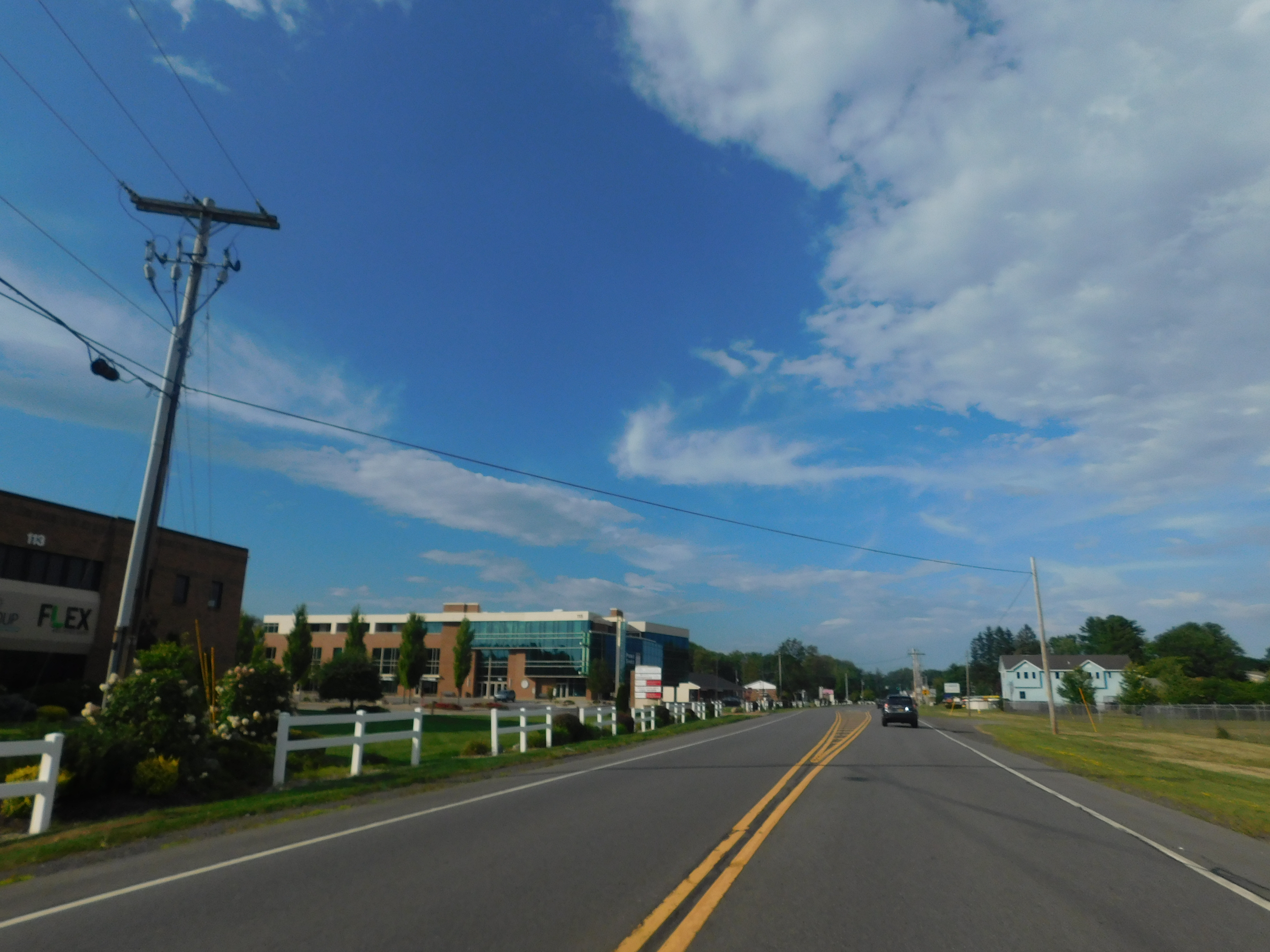
New York State Route 50 (NY 50) is a state highway in the Capital District of New York in the United States. The southern terminus of the route is at an intersection with NY 5 in Scotia. Its northern terminus is at a junction with NY 32 in the Saratoga County hamlet of Gansevoort. Route description All but of NY 50 is maintained by the New York State Department of Transportation (NYSDOT). The lone locally maintained segment lies within the city of Saratoga Springs, where the route is city-maintained from the southern boundary of the city's inner district to Van Dam Street, a local street three blocks north of NY 9N and NY 29. Scotia to Milton NY 50 begins at an intersection with NY 5 (Mohawk Avenue) in the village of Scotia in the town of Glenville, just a couple blocks north of the Mohawk River. NY 50 winds northeastward through Scotia on North Ballston Avenue, crossing past Collins Lake on a two-lane residential street. ... [...More Info...] [...Related Items...] OR: [Wikipedia] [Google] [Baidu] |
New York State Department Of Transportation
The New York State Department of Transportation (NYSDOT) is the department of the Government of New York (state), New York state government responsible for the development and operation of highways, Rail transport, railroads, mass transit systems, ports, waterways and aviation facilities in the U.S. state of New York (state), New York. This transportation network includes: * A state and local highway system, encompassing over 110,000 miles (177,000 km) of highway and 17,000 bridges. * A 5,000 mile (8,000 km) rail network, carrying over 42 million short tons (38 million metric tons) of equipment, raw materials, manufactured goods and produce each year. * Over 130 public transit operators, serving over 5.2 million passengers each day. * Twelve major public and private ports, handling more than 110 million short tons (100 million metric tons) of freight annually. * 456 public and private aviation facilities, through which more than 31 million people travel each year. It ow ... [...More Info...] [...Related Items...] OR: [Wikipedia] [Google] [Baidu] |
Mohawk River
The Mohawk River is a U.S. Geological Survey. National Hydrography Dataset high-resolution flowline dataThe National Map accessed October 3, 2011 river in the U.S. state of New York. It is the largest tributary of the Hudson River. The Mohawk flows into the Hudson in Cohoes, New York, a few miles north of the city of Albany.Mohawk River , The Columbia Gazetteer of North America The river is named for the of the Iroquois Confederacy. It is a major waterway in north-central New York. The largest tributary, the Schoharie Creek, accounts fo ... [...More Info...] [...Related Items...] OR: [Wikipedia] [Google] [Baidu] |
County Route 339 (Saratoga County, New York)
Year 339 ( CCCXXXIX) was a common year starting on Monday (link will display the full calendar) of the Julian calendar. At the time, it was known as the Year of the Consulship of Constantius and Claudius (or, less frequently, year 1092 '' Ab urbe condita''). The denomination 339 for this year has been used since the early medieval period, when the Anno Domini calendar era became the prevalent method in Europe for naming years. Events By place Roman Empire * Emperor Constantius II hastens to his territory in the East, where a revived Persia under King Shapur II is attacking Mesopotamia. For the next 11 years, the two powers engage in a war of border skirmishing, with no real victor. By topic Religion * Pope Julius I gives refuge in Rome to the Alexandrian patriarch Athanasius, who is deposed and expelled during the First Synod of Tyre (see 335). * Eusebius of Nicomedia is made bishop of Constantinople, while another Arian succeeds Athanasius as bishop of Alexandria ... [...More Info...] [...Related Items...] OR: [Wikipedia] [Google] [Baidu] |
County Route 58 (Saratoga County, New York)
County routes in Saratoga County, New York, are signed with the Manual on Uniform Traffic Control Devices-standard yellow-on-blue pentagon route marker. The highest numbered route in the county, County Route 1345 (CR 1345), is the only signed four-digit route of any type in the state. Routes 1–50 Routes 51 and up See also *County routes in New York References External links {{Commons category, County routes in Saratoga County, New YorkEmpire State Roads – Saratoga County Roads County routes in Saratoga County, New York, ... [...More Info...] [...Related Items...] OR: [Wikipedia] [Google] [Baidu] |

