|
New York State Route 361
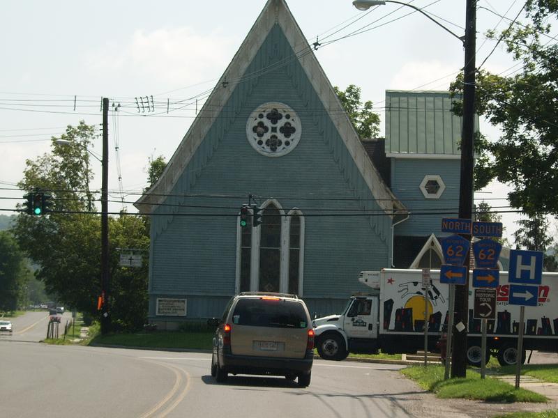
New York State Route 361 (NY 361) was a state highway located in Dutchess County, New York, in the United States. The southern terminus of the route was at the Connecticut state line, where it continued to Sharon, Connecticut, as Route 361. The northern terminus was at U.S. Route 44 (US 44) in Millerton. NY 361 was designated in April 1935 and removed from the state highway system and replaced with County Route 62 (CR 62) in 1980 as part of a large-scale highway maintenance swap between the New York State Department of Transportation and the Dutchess County highway department. Route description NY 361 began as a continuation of Connecticut's Route 361 adjacent to the bi-state water body of Indian Lake in the town of North East. The route traveled northward on Sharon Road, paralleling the Webatuck Creek to Millerton, where it became South Maple Avenue and terminated at an intersection with US 44 (Main Street). The ... [...More Info...] [...Related Items...] OR: [Wikipedia] [Google] [Baidu] |
Connecticut
Connecticut () is the southernmost state in the New England region of the Northeastern United States. It is bordered by Rhode Island to the east, Massachusetts to the north, New York to the west, and Long Island Sound to the south. Its capital is Hartford and its most populous city is Bridgeport. Historically the state is part of New England as well as the tri-state area with New York and New Jersey. The state is named for the Connecticut River which approximately bisects the state. The word "Connecticut" is derived from various anglicized spellings of "Quinnetuket”, a Mohegan-Pequot word for "long tidal river". Connecticut's first European settlers were Dutchmen who established a small, short-lived settlement called House of Hope in Hartford at the confluence of the Park and Connecticut Rivers. Half of Connecticut was initially claimed by the Dutch colony New Netherland, which included much of the land between the Connecticut and Delaware Rivers, although the firs ... [...More Info...] [...Related Items...] OR: [Wikipedia] [Google] [Baidu] |
Connecticut Route 4
Route 4 is an east–west primary state highway connecting rural Litchfield County to the Greater Hartford area of the U.S. state of Connecticut. It runs from the town of Sharon to the town of West Hartford. Route description Route 4 begins at the junction of Route 41 and Route 343 in Sharon as a rural, minor arterial road. In Cornwall, it briefly overlaps with US 7 to cross the Housatonic River on the Cornwall Bridge. Farther east in Cornwall, it intersects with Routes 125, 43, and 128 before crossing into Goshen. In Goshen, it meets Route 63 at a roundabout in the center of town. After entering Torrington, the road becomes more of a principal arterial road upon meeting the southern end of Route 272. After skirting the northern edge of downtown, it meets the Route 8 freeway at exit 44 and briefly overlaps with US 202 just east of the interchange. The road turns southeast and returns to more of a rural character, meeting the southern end ... [...More Info...] [...Related Items...] OR: [Wikipedia] [Google] [Baidu] |
New York State Route 115
New York State Route 115 (NY 115) is a long state highway located entirely within Dutchess County, New York. The route runs from an intersection with U.S. Route 44 (US 44) and NY 55 in the city of Poughkeepsie along the former Salt Point Turnpike to an interchange with the Taconic State Parkway in Clinton. Throughout its length NY 115 is maintained by the city of Poughkeepsie, Dutchess County (as CR 75), and the New York State Department of Transportation. When NY 115 terminates at the Taconic State Parkway, the Salt Point Turnpike continues as County Route 17 (CR 17) for another four miles to NY 82 in Stanford. NY 115 was designated on April 1, 1980 as part of a maintenance swap by the New York State Department of Transportation, which took over the portion from Smith Street to the Taconic Parkway that was originally CR 75. The portion of the turnpike from the Poughkeepsie city line to Innis Avenue was r ... [...More Info...] [...Related Items...] OR: [Wikipedia] [Google] [Baidu] |
Poughkeepsie (city), New York
Poughkeepsie ( ), officially the City of Poughkeepsie, separate from the Town of Poughkeepsie around it) is a city in the U.S. state of New York. It is the county seat of Dutchess County, with a 2020 census population of 31,577. Poughkeepsie is in the Hudson River Valley region, midway between the core of the New York metropolitan area and the state capital of Albany. It is a principal city of the Poughkeepsie–Newburgh–Middletown metropolitan area which belongs to the New York combined statistical area. It is served by the nearby Hudson Valley Regional Airport and Stewart International Airport in Orange County, New York. Poughkeepsie has been called "The Queen City of the Hudson". It was settled in the 17th century by the Dutch and became New York State's second capital shortly after the American Revolution. It was chartered as a city in 1854. Major bridges in the city include the Walkway over the Hudson, a former railroad bridge called the Poughkeepsie Bridge which re ... [...More Info...] [...Related Items...] OR: [Wikipedia] [Google] [Baidu] |
New York State Route 44A
U.S. Route 44 (US 44) is an east–west United States Numbered Highway that runs for through four states in the Northeastern United States. The western terminus is at US 209 and New York State Route 55 (NY 55) in Kerhonkson, New York, a hamlet in the Hudson Valley region. The eastern terminus is at Route 3A in Plymouth, Massachusetts. Route description , - , , , , - , , , , - , , , , - , , , , - , Total , , New York US 44 begins at an intersection with US 209 and NY 55 west of the hamlet of Kerhonkson in the town of Wawarsing in Ulster County. NY 55, concurrent with US 209 southwest of this point, turns east onto US 44, forming an overlap as the two routes proceed eastward across Ulster County. Midway between Kerhonkson and Gardiner and just north of NY 299, US 44 and NY 55 traverse a hairpin turn made necessary by the surrounding Shawangunk Ridge. Farther east, the road passes throug ... [...More Info...] [...Related Items...] OR: [Wikipedia] [Google] [Baidu] |
Millbrook, New York
Millbrook is a village in Dutchess County, New York, United States. Millbrook is located in the Hudson Valley, on the east side of the Hudson River, north of New York City. Millbrook is near the center of the town of Washington, of which it is a part. As of the 2020 census, Millbrook's population was 1,455. It is often referred to as a low-key version of the Hamptons, and is one of the most affluent villages in New York. Millbrook is part of the Poughkeepsie– Newburgh– Middletown Metropolitan Statistical Area as well as the larger New York– Newark–Bridgeport Combined Statistical Area. Geography According to the United States Census Bureau, the village has a total area of , of which is land and (2.60%) is water. Demographics As of the census of 2000, there were 1,429 people, 678 households, and 361 families residing in the village. The population density was 764.3 people per square mile (295.0/km2). There were 744 housing units at an average density of ... [...More Info...] [...Related Items...] OR: [Wikipedia] [Google] [Baidu] |
Columbia County, New York
Columbia County is a county located in the U.S. state of New York. As of the 2020 census, the population was 61,570. The county seat is Hudson. The name comes from the Latin feminine form of the name of Christopher Columbus, which was at the time of the formation of the county a popular proposal for the name of the United States. Columbia County comprises the Hudson, NY Micropolitan Statistical Area, which is also included in the Albany-Schenectady, NY Combined Statistical Area. It is on the east side of the Hudson River and is considered to be part of the Upper Hudson Valley. History At the arrival of European colonists the area was occupied by the indigenous Mohican Indians. To the west of the river were the Mohawk and other four tribes of the Iroquois Confederacy, extending past what is now the border of New York state. The first known European exploration of Columbia County was in 1609, when Henry Hudson, an English explorer sailing for the Dutch, ventured up the Huds ... [...More Info...] [...Related Items...] OR: [Wikipedia] [Google] [Baidu] |
New York State Route 199
New York State Route199 (NY199) is a state highway located in the Hudson Valley of the U.S. state of New York (state), New York. Its western end is in Ulster County, New York, Ulster County, where it begins as the continuation of the short U.S. Route 209 expressway east of its interchange with U.S. Route 9W; after crossing the Kingston–Rhinecliff Bridge over the Hudson River the rest of the highway crosses northern Dutchess County, New York, Dutchess County. As it does it passes through downtown Red Hook (village), New York, Red Hook and Pine Plains (CDP), New York, Pine Plains, reaching its eastern end at U.S. Route 44 in New York, U.S. Route 44 and New York State Route 22, State Route 22 southwest of Millerton, New York, Millerton in the upper Harlem Valley. The portion of Route 199 east of its junction with the Taconic State Parkway was originally part of the Ulster and Delaware Turnpike, a toll road linking Bainbridge (town), New York, Bainbridge to Salisbury, Connecticut. T ... [...More Info...] [...Related Items...] OR: [Wikipedia] [Google] [Baidu] |
Hyde Park, New York
Hyde Park is a town in Dutchess County, New York, United States, bordering the Hudson River north of Poughkeepsie. Within the town are the hamlets of Hyde Park, East Park, Staatsburg, and Haviland. Hyde Park is known as the hometown of Franklin D. Roosevelt, the 32nd president of the United States. His house there, now the Home of Franklin D. Roosevelt National Historic Site, is listed on the U.S. National Register of Historic Places, as are the homes of Eleanor Roosevelt, Isaac Roosevelt, and Frederick William Vanderbilt, along with Haviland Middle School (formerly Franklin D. Roosevelt High School). Hyde Park is home to the main campus of the Culinary Institute of America, a four-year college for culinary and baking and pastry arts, and the Franklin D. Roosevelt Presidential Library and Museum, the first presidential library in the United States. Hyde Park's population was 21,021 at the 2020 United States Census. U.S. Route 9 passes through the town near the Hudson Riv ... [...More Info...] [...Related Items...] OR: [Wikipedia] [Google] [Baidu] |
Red Hook, New York
Red Hook is a town in Dutchess County, New York, United States. The population was 9,953 at the time of the 2020 census, down from 11,319 in 2010. The name is supposedly derived from the red foliage on trees on a small strip of land on the Hudson River. The town contains two villages, Red Hook and Tivoli. The town is in the northwest part of Dutchess County. The town also contains two hamlets. Bard College is in the hamlet of Annandale-on-Hudson. The Unification Theological Seminary is in the hamlet of Barrytown. Both hamlets are located within the Hudson River Historic District. History The original inhabitants of this land were the Mohican, Munsee and Lenape people. During European settlement, Native American tribes played a fundamental role in the area's economy as they traded beaver skin with European settlers. European settlers imported several foreign goods, such as cattle, horses, and sheep. Enslaved African American individuals were also brought. Through imp ... [...More Info...] [...Related Items...] OR: [Wikipedia] [Google] [Baidu] |
Reference Route (New York)
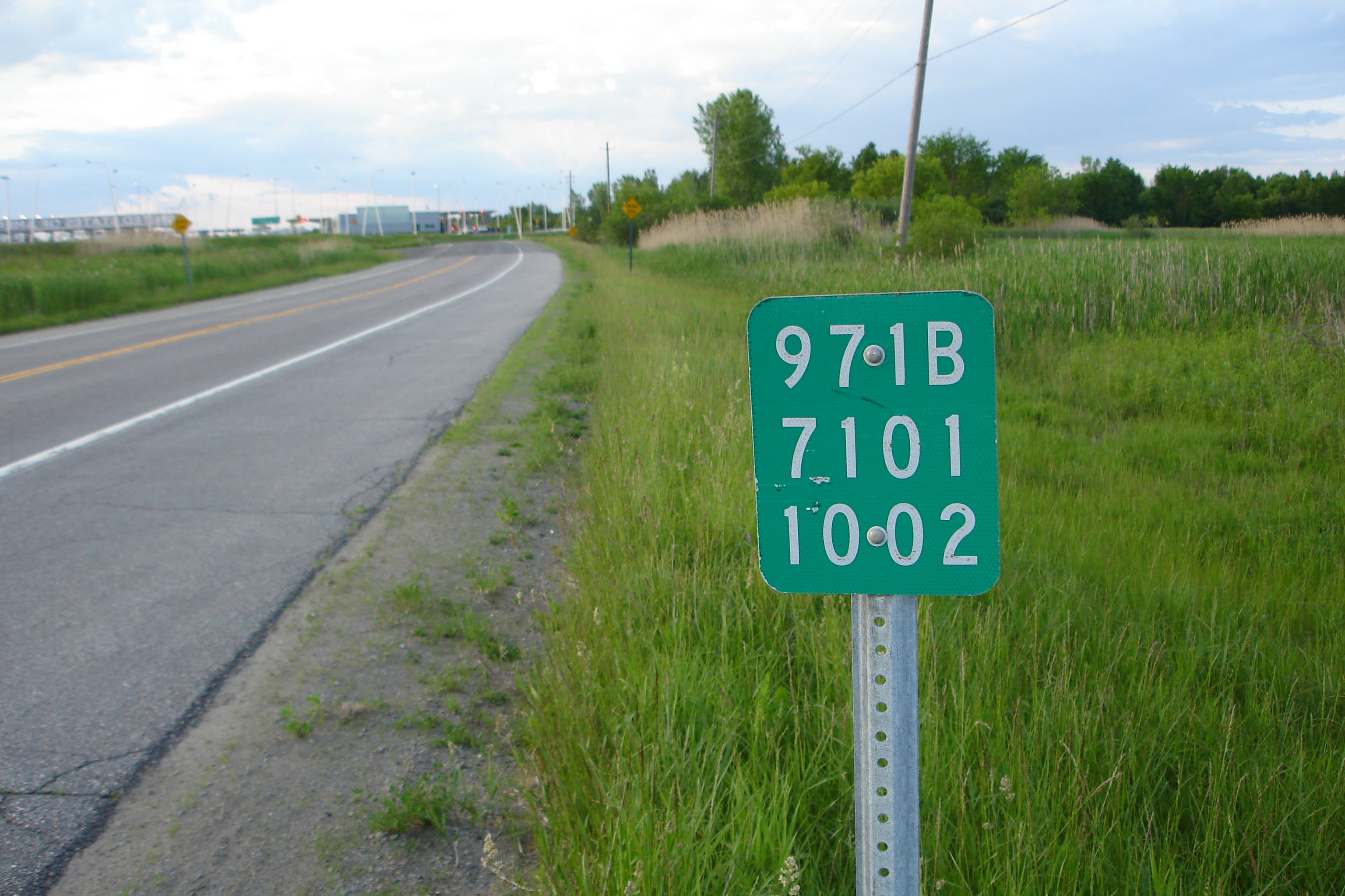
A reference route is an unsigned highway assigned by the New York State Department of Transportation (NYSDOT) to roads that possess a signed name (mainly parkways), that NYSDOT has determined are too minor to have a signed touring route number, or are former touring routes that are still state-maintained. The majority of reference routes are owned by the state of New York and maintained by NYSDOT; however, some exceptions exist. The reference route designations are normally posted on reference markers, small green signs located every tenth-mile on the side of the road, though a few exceptions exist to this practice as well. Reference route numbers are always three digit numbers in the 900s with a single alphabetic suffix. The designations are largely assigned in numerical and alphabetical order within a region, and designations are not reused once they are removed. Certain letters are avoided, such as "I" (used to indicate Interstate Highways and potential confusion with the numb ... [...More Info...] [...Related Items...] OR: [Wikipedia] [Google] [Baidu] |
New York State Route 402
New York State Route 402 (NY 402) was a state highway located within the village of Tivoli in Dutchess County, New York, in the United States. It was assigned in the early 1930s and served as a connector between NY 9G and what was once a ferry landing on the Hudson River west of the village. Although the ferry service linking Tivoli and the village of Saugerties was shut down in the 1940s, NY 402 continued to exist until 1980. On April 1 of that year, ownership and maintenance of the highway was transferred to Dutchess County as part of a highway maintenance swap between the county and the state of New York. The highway became part of an extended County Route 78 (CR 78), which had begun at the junction of NY 9G and NY 402 prior to the swap. Route description NY 402 began at what was once a ferry landing on the Hudson River west of the Tivoli village center, but within the village limits, in northwestern Dutchess County. The high ... [...More Info...] [...Related Items...] OR: [Wikipedia] [Google] [Baidu] |


