|
New Fork, Wyoming
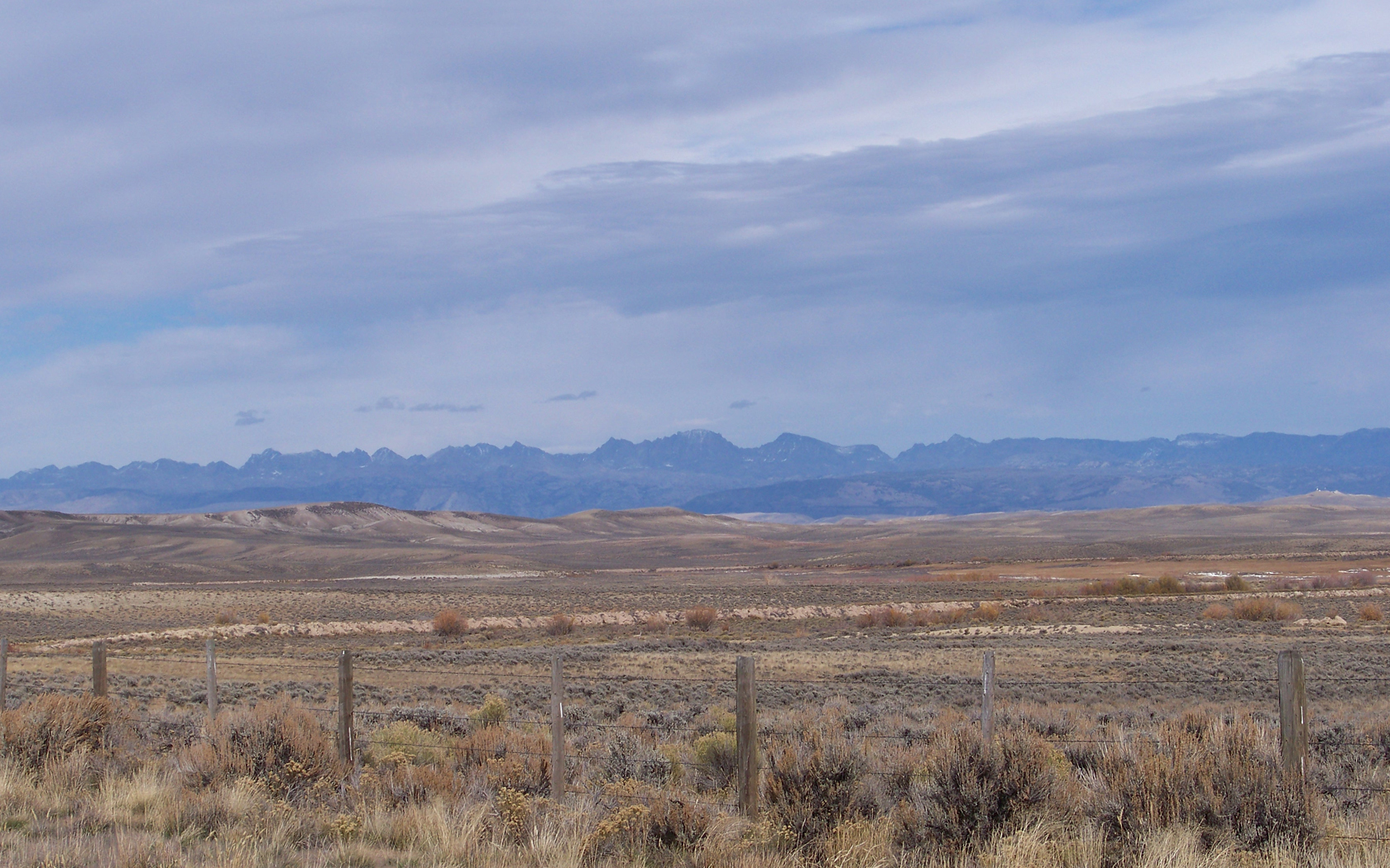
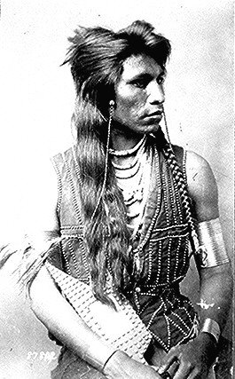
New Fork is a ghost town in Sublette County, Wyoming, Sublette County, Wyoming, United States, near Boulder, Wyoming, Boulder. It was one of the earliest settlements in the upper Green River valley. New Fork was established in 1888 by John Vible and Louis Broderson, Danish immigrants who had arrived in the United States in 1884. They established a store along the Emigrant Trail in Wyoming#Lander Road, Lander cut-off of the Oregon Trail. By 1908 a small town had grown around the store, and in 1910 Vible built a dance hall, called The Valhalla. In the early years of the settlement, the local Bannock and Shoshoni Indians from the Wind River Indian Reservation accounted for much of the town's trade. Vible and Broderson's original store was a log cabin, selling supplies obtained in Evanston, Wyoming, Evanston. The death of Vible and members of his family from diphtheria and scarlet fever in 1915 started a decline, exacerbated by the abandonment of the Lander cut-off. Mail service st ... [...More Info...] [...Related Items...] OR: [Wikipedia] [Google] [Baidu] |
Sublette County, Wyoming
Sublette County is a county in the U.S. state of Wyoming. As of the 2020 United States Census, the population was 8,728. The county seat is Pinedale. It is a sparsely populated rural county in western Wyoming, along the Green River. History Sublette County was created February 15, 1921, of land partitioned from Fremont and Lincoln counties. Its governing organization was completed by 1923. Before settlement, the western Wyoming mountains were traversed and harvested by fur trappers and traders. Sublette County is named for one of those early characters, William Lewis Sublette. Today the county celebrates its fur trade heritage with the Museum of the Mountain Man in Pinedale. In the early 1900s the majority of the population in what is today Sublette County were first generation immigrants from England and Germany. A majority of the population in Sublette County supported America's entry into World War I and at the time the county was known for its "pro-British" sentiments. T ... [...More Info...] [...Related Items...] OR: [Wikipedia] [Google] [Baidu] |
Boulder, Wyoming
Boulder is a census-designated place (CDP) in Sublette County, Wyoming, United States. The population was 170 at the 2010 census. Geography Boulder is located at (42.748164, −109.712828). According to the United States Census Bureau, the CDP has a total area of 1.9 square miles (4.8 km2), all land. Demographics As at the census of 2000, there were 30 people, 15 households, and 7 families residing in the CDP. The population density was 23.1 people per square mile (8.9/km2). There were 28 housing units at an average density of 21.5/sq mi (8.3/km2). The racial makeup of the CDP was 100.00% White. There were 15 households, out of which 13.3% had children under the age of 18 living with them, 40.0% were married couples living together, 6.7% had a female householder with no husband present, and 53.3% were non-families. 46.7% of all households were made up of individuals, and 13.3% had someone living alone who was 65 years of age or older. The average household size ... [...More Info...] [...Related Items...] OR: [Wikipedia] [Google] [Baidu] |
Ghost Town
Ghost Town(s) or Ghosttown may refer to: * Ghost town, a town that has been abandoned Film and television * Ghost Town (1936 film), ''Ghost Town'' (1936 film), an American Western film by Harry L. Fraser * Ghost Town (1956 film), ''Ghost Town'' (1956 film), an American Western film by Allen H. Miner * Ghost Town (1988 film), ''Ghost Town'' (1988 film), an American horror film by Richard McCarthy (as Richard Governor) * Ghost Town (2008 film), ''Ghost Town'' (2008 film), an American fantasy comedy film by David Koepp * ''Ghost Town'', a 2008 TV film featuring Billy Drago * ''Derek Acorah's Ghost Towns'', a 2005–2006 British paranormal reality television series * Ghost Town (CSI: Crime Scene Investigation), "Ghost Town" (''CSI: Crime Scene Investigation''), a 2009 TV episode Literature * Ghost Town (Lucky Luke), ''Ghost Town'' (''Lucky Luke'') or ''La Ville fantôme'', a 1965 ''Lucky Luke'' comic *''Ghost Town'', a Beacon Street Girls novel by Annie Bryant *''Ghost Town'', a 199 ... [...More Info...] [...Related Items...] OR: [Wikipedia] [Google] [Baidu] |
Wyoming
Wyoming () is a U.S. state, state in the Mountain states, Mountain West subregion of the Western United States. It is bordered by Montana to the north and northwest, South Dakota and Nebraska to the east, Idaho to the west, Utah to the southwest, and Colorado to the south. With a population of 576,851 in the 2020 United States census, Wyoming is the List of U.S. states and territories by population, least populous state despite being the List of U.S. states and territories by area, 10th largest by area, with the List of U.S. states by population density, second-lowest population density after Alaska. The state capital and List of municipalities in Wyoming, most populous city is Cheyenne, Wyoming, Cheyenne, which had an estimated population of 63,957 in 2018. Wyoming's western half is covered mostly by the ranges and rangelands of the Rocky Mountains, while the eastern half of the state is high-elevation prairie called the High Plains (United States), High Plains. It is drier ... [...More Info...] [...Related Items...] OR: [Wikipedia] [Google] [Baidu] |
Emigrant Trail In Wyoming
The Emigrant Trail in Wyoming, which is the path followed by Western pioneers using the Oregon Trail, California Trail and Mormon Trail (collectively referred to as the Emigrant Trail), spans through the U.S. state of Wyoming. The trail entered from Nebraska on the eastern border of the state near the present day town of Torrington and exited on the western border near the towns of Cokeville and Afton. An estimated 350,000 to 400,000 settlers traveled on the trail through Wyoming between 1841 and 1868. All three trails follow the same path through most of the state. The Mormon Trail splits at Fort Bridger and enters Utah, while the Oregon and California Trails continue to Idaho. North Platte River In the eastern plains, the Emigrant Trail follows the North Platte River into Wyoming. The trail follows the river upstream to Fort Laramie, a prominent military and trading post in the region. Prior to 1850 the northern side of the river was thought to be impassable beyond Fort L ... [...More Info...] [...Related Items...] OR: [Wikipedia] [Google] [Baidu] |
Oregon Trail
The Oregon Trail was a east–west, large-wheeled wagon route and Westward Expansion Trails, emigrant trail in the United States that connected the Missouri River to valleys in Oregon. The eastern part of the Oregon Trail spanned part of what is now the state of Kansas and nearly all of what are now the states of Nebraska and Wyoming. The western half of the trail spanned most of the current states of Idaho and Oregon. The Oregon Trail was laid by fur traders and trappers from about 1811 to 1840 and was only passable on foot or on horseback. By 1836, when the first migrant wagon train was organized in Independence, Missouri, a wagon trail had been cleared to Fort Hall, Idaho. Wagon trails were cleared increasingly farther west and eventually reached all the way to the Willamette Valley in Oregon, at which point what came to be called the Oregon Trail was complete, even as almost annual improvements were made in the form of bridges, cutoffs, ferries, and roads, which made the t ... [...More Info...] [...Related Items...] OR: [Wikipedia] [Google] [Baidu] |
Shoshoni
The Shoshone or Shoshoni ( or ) are a Native American tribe with four large cultural/linguistic divisions: * Eastern Shoshone: Wyoming * Northern Shoshone: southern Idaho * Western Shoshone: Nevada, northern Utah * Goshute: western Utah, eastern Nevada They traditionally speak the Shoshoni language, part of the Numic languages branch of the large Uto-Aztecan language family. The Shoshone were sometimes called the Snake Indians by neighboring tribes and early American explorers. Their peoples have become members of federally recognized tribes throughout their traditional areas of settlement, often co-located with the Northern Paiute people of the Great Basin. Etymology The name "Shoshone" comes from ''Sosoni'', a Shoshone word for high-growing grasses. Some neighboring tribes call the Shoshone "Grass House People," based on their traditional homes made from ''sosoni''. Shoshones call themselves ''Newe'', meaning "People".Loether, Christopher"Shoshones."''Encyclopedia of the Gre ... [...More Info...] [...Related Items...] OR: [Wikipedia] [Google] [Baidu] |
Wind River Indian Reservation
The Wind River Indian Reservation, in the west-central portion of the U.S. state of Wyoming, is shared by two Native American tribes, the Eastern Shoshone ( shh, Gweechoon Deka, ''meaning: "buffalo eaters"'') and the Northern Arapaho ( arp, hoteiniiciihehe'). Roughly east to west by north to south, the Indian reservation is located in the Wind River Basin, and includes portions of the Wind River Range, Owl Creek Mountains, and Absaroka Range. The Wind River Indian Reservation is the seventh-largest American Indian reservation in the United States by area and the fifth-largest by population. The land area is approximately , and the total area (land and water) is . The reservation constitutes just over one-third of Fremont County and over one-fifth of Hot Springs County. The 2000 census reported the population of Fremont County as 40,237. According to the 2010 census, only 26,490 people now live on the reservation, with about 15,000 of the residents being non-Indians on ce ... [...More Info...] [...Related Items...] OR: [Wikipedia] [Google] [Baidu] |
Evanston, Wyoming
Evanston is a city in and the county seat of Uinta County, Wyoming, United States. The population was 12,359 at the 2010 census. It is located near the border with Utah. History Evanston was named after James A. Evans, a civil engineer for the Union Pacific Railroad. Another source maintains it is named for John Evans, second Governor of the Territory of Colorado. The town was founded during the construction of the First transcontinental railroad. The railroad arrived in the area in November 1868, and Harvey Booth opened a saloon/restaurant in a tent near what is now Front Street. By December the rails had reached Evanston and the first train arrived December 16. However, orders were later handed down by the railroad managers to move the end of the line 12 miles west, to Wasatch. Within three days, most all of Evanston had moved to Wasatch, it appeared that Evanston would become another "end of the tracks" town. Luckily, in June 1869 headquarters returned to Evanston and it ... [...More Info...] [...Related Items...] OR: [Wikipedia] [Google] [Baidu] |
Diphtheria
Diphtheria is an infection caused by the bacterium '' Corynebacterium diphtheriae''. Most infections are asymptomatic or have a mild clinical course, but in some outbreaks more than 10% of those diagnosed with the disease may die. Signs and symptoms may vary from mild to severe and usually start two to five days after exposure. Symptoms often come on fairly gradually, beginning with a sore throat and fever. In severe cases, a grey or white patch develops in the throat. This can block the airway and create a barking cough as in croup. The neck may swell in part due to enlarged lymph nodes. A form of diphtheria which involves the skin, eyes or genitals also exists. Complications may include myocarditis, inflammation of nerves, kidney problems, and bleeding problems due to low levels of platelets. Myocarditis may result in an abnormal heart rate and inflammation of the nerves may result in paralysis. Diphtheria is usually spread between people by direct contact or through th ... [...More Info...] [...Related Items...] OR: [Wikipedia] [Google] [Baidu] |
Scarlet Fever
Scarlet fever, also known as Scarlatina, is an infectious disease caused by ''Streptococcus pyogenes'' a Group A streptococcus (GAS). The infection is a type of Group A streptococcal infection (Group A strep). It most commonly affects children between five and 15 years of age. The signs and symptoms include a sore throat, fever, headache, swollen lymph nodes, and a characteristic rash. The face is flushed and the rash is red and blanching. It typically feels like sandpaper and the tongue may be red and bumpy. The rash occurs as a result of capillary damage by exotoxins produced by ''S.pyogenes''. On darker pigmented skin the rash may be hard to discern. Scarlet fever affects a small number of people who have strep throat or streptococcal skin infections. The bacteria are usually spread by people coughing or sneezing. It can also be spread when a person touches an object that has the bacteria on it and then touches their mouth or nose. The diagnosis is typically confirmed by ... [...More Info...] [...Related Items...] OR: [Wikipedia] [Google] [Baidu] |
Geography Of Sublette County, Wyoming
Geography (from Greek: , ''geographia''. Combination of Greek words ‘Geo’ (The Earth) and ‘Graphien’ (to describe), literally "earth description") is a field of science devoted to the study of the lands, features, inhabitants, and phenomena of Earth. The first recorded use of the word γεωγραφία was as a title of a book by Greek scholar Eratosthenes (276–194 BC). Geography is an all-encompassing discipline that seeks an understanding of Earth and its human and natural complexities—not merely where objects are, but also how they have changed and come to be. While geography is specific to Earth, many concepts can be applied more broadly to other celestial bodies in the field of planetary science. One such concept, the first law of geography, proposed by Waldo Tobler, is "everything is related to everything else, but near things are more related than distant things." Geography has been called "the world discipline" and "the bridge between the human and th ... [...More Info...] [...Related Items...] OR: [Wikipedia] [Google] [Baidu] |


