|
Meymaneh
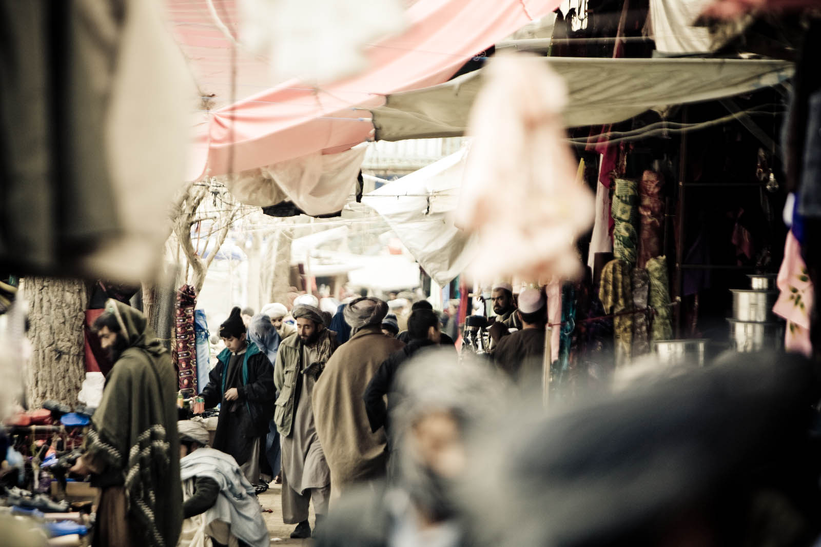
Maymana (Persian/ Uzbek/Pashto: میمنه) is the capital city of Faryab Province in northwestern Afghanistan, near the Turkmenistan border. It is approximately northwest of the country's capital Kabul, and is located on the Maymana River, which is a tributary of the Murghab River. The population of Maymana was 149,040 in 2015, making it one of the largest cities of northwestern Afghanistan. On 14 August 2021, Maymana was seized by Taliban fighters, becoming the twenty-second provincial capital to be captured by the Taliban as part of the wider 2021 Taliban offensive. As of January 2022, however, clashes between Taliban and resistance fighters and protests have been reported in the city. Location Maymana is located at the northern foot of the Torkestan Range at an elevation of on the old terrace of the Qeysar or Maymana River, which is a right tributary of the Murghab River. The Maymana River branches off of the Band-e Turkistan River 50 km south of the city. The highlan ... [...More Info...] [...Related Items...] OR: [Wikipedia] [Google] [Baidu] |
Provinces Of Afghanistan
Afghanistan is divided into 34 provinces (, '' wilåyat''). The provinces of Afghanistan are the primary administrative divisions. Each province encompasses a number of districts or usually over 1,000 villages. Provincial governors played a critical role in the reconstruction of the Afghan state following the creation of the new government under Hamid Karzai. According to international security scholar Dipali Mukhopadhyay, many of the provincial governors of the western-backed government were former warlords who were incorporated into the political system. Provinces of Afghanistan Regions of Afghanistan UN Regions Former provinces of Afghanistan During Afghanistan's history it had a number of provinces in it. It started out as just Kabul, Herat, Qandahar, and Balkh but the number of provinces increased and by 1880 the provinces consisted of Balkh, Herat, Qandahar, Ghazni, Jalalabad, and Kabul. * Southern Province – dissolved in 1964 to create Paktia Provinc ... [...More Info...] [...Related Items...] OR: [Wikipedia] [Google] [Baidu] |
Afghanistan
Afghanistan, officially the Islamic Emirate of Afghanistan,; prs, امارت اسلامی افغانستان is a landlocked country located at the crossroads of Central Asia and South Asia. Referred to as the Heart of Asia, it is bordered by Pakistan to the Durand Line, east and south, Iran to the Afghanistan–Iran border, west, Turkmenistan to the Afghanistan–Turkmenistan border, northwest, Uzbekistan to the Afghanistan–Uzbekistan border, north, Tajikistan to the Afghanistan–Tajikistan border, northeast, and China to the Afghanistan–China border, northeast and east. Occupying of land, the country is predominantly mountainous with plains Afghan Turkestan, in the north and Sistan Basin, the southwest, which are separated by the Hindu Kush mountain range. , Demographics of Afghanistan, its population is 40.2 million (officially estimated to be 32.9 million), composed mostly of ethnic Pashtuns, Tajiks, Hazaras, and Uzbeks. Kabul is the country's largest city and ser ... [...More Info...] [...Related Items...] OR: [Wikipedia] [Google] [Baidu] |
Guzganan
Guzgan ( fa, گوزگان, also known as Gozgan, Guzganan or Quzghan, in Arabic Juzjan or Juzjanan) was a historical region and early medieval principality in what is now northern Afghanistan. Etymology The area was known as "Guzgan" or in the plural form "Guzganan", whence Arabic "Juzjan"/"Juzjanan". Orientalist Vladimir Minorsky derived the name from a word meaning "walnut", a product for which the area is still known today. The 19th-century scholar Henry George Raverty suggested that the plural form emerged from the division of the country in two parts by the river Murghab. Geography The boundaries of Guzgan were never well defined and fluctuated wildly over time. They certainly bear no relation to the modern administrative boundaries of Jowzjan Province, named after it, or the neighbouring Faryab Province, but historically included the lands around the towns of Maymana (capital of Faryab province), Andkhuy, Shibarghan (capital of Jowzjan Province) and Sar-e Pol (capital ... [...More Info...] [...Related Items...] OR: [Wikipedia] [Google] [Baidu] |
Islamic Conquest
The spread of Islam spans about 1,400 years. Muslim conquests following Muhammad's death led to the creation of the caliphates, occupying a vast geographical area; conversion to Islam was boosted by Arab Muslim forces conquering vast territories and building imperial structures over time. Most of the significant expansion occurred during the reign of the Rashidun from 632 to 661 CE, which was the reign of the first four successors of Muhammad. These early caliphates, coupled with Muslim economics and trading, the Islamic Golden Age, and the age of the Islamic gunpowder empires, resulted in Islam's spread outwards from Mecca towards the Indian, Atlantic, and Pacific Oceans and the creation of the Muslim world. Trade played an important role in the spread of Islam in several parts of the world, especially Indian traders in Southeast Asia.Berkey, pg. 101-102 Muslim dynasties were soon established and subsequent empires such as those of the Umayyads, Abbasids, Mamluks, Seljukids, a ... [...More Info...] [...Related Items...] OR: [Wikipedia] [Google] [Baidu] |


