|
Mallabia
Mallabia (in Basque and officially, in Spanish: ''Mallavia'') is an elizate, town and municipality located in the province of Biscay, in the Basque Country, northern Spain. Mallabia is part of the ''comarca'' of Durangaldea and has a population of 1.135 inhabitants as of 2006 and according to the Spanish National Statistics Institute. Etymology The etymology of the word ''Mallabia'' may come from the Basque word ''malla'' ("step", "level" or "height") and ''bi(a)'' ("two" or "the one with two"), then refers to the place with "two levels" or "two heights". History As it is common with the elizates, the date of foundation of Mallabia is unknown. Its origin is linked with the old ''Tierra Llana'' (Spanish for "flat lands") of the ancient ''merindad of Durango''. At some point, it possibly split from the elizate of Zenarruza (in which lands the elizate of Ermua was founded). Since 1635, Mallabia had voice and right to vote in the ''Juntas of Guerediaga'', where it occupied the ... [...More Info...] [...Related Items...] OR: [Wikipedia] [Google] [Baidu] |
Durangaldea
Durangaldea (Spanish language, Spanish: ''Duranguesado'') is a comarcas of Spain, comarca of Biscay located in the Basque Country (autonomous community), Basque Country, Spain. It is one of the seven ''eskualdeak/comarcas'' or regions that compose the province of Biscay. The capital city of Durangaldea is Durango, Biscay, Durango. Geography Durangaldea is located at the southeast of the province of Biscay, limiting with the provinces of Gipuzkoa and Álava. It spans the territory between Oiz mountain and the border with the province of Álava in the south. Its total area is . Most of the towns that compose the comarca are located on a great valley formed by the Ibaizabal river, that crosses it from east to west. Otxandio is the only town that belongs to Durangaldea but is not part of the valley. History Durangaldea (also known by its Spanish name, Duranguesado) was during the Middle Ages a district apart from Biscay (the ''Señorío'') and a dependency of Navarre, but was c ... [...More Info...] [...Related Items...] OR: [Wikipedia] [Google] [Baidu] |
Zaldibar
Zaldibar (in Basque and officially, in es, Zaldívar) is an elizate, town and municipality located in the province of Biscay, in the Basque Country, Spain. Zaldibar is part of the ''comarca'' of Durangaldea and has a population of 3,043 inhabitants as of 2019 and according to the Spanish National Statistics Institute. Etymology ''Zaldibar'' can be translated from Basque as "horse valley", from ''zaldi'' (horse) and ''ibar'' (valley). The coat of arms of the town then includes a horse. ''Zaldívar'' is the name in Spanish. However, the town was named ''Zaldua'' (Basque) or ''Zaldúa'' (Spanish) until 1932. ''Zaldua'' is then translated from Basque to Spanish as "el soto", which might be referred to a ''sotobosque'', Spanish word for understory. "Valley of the Soto" is then another possible origin of the current name. Currently, ''Zaldua'' is considered an archaism and it is not used, being since 1980 ''Zaldibar'' the official name of the municipality. History The eliza ... [...More Info...] [...Related Items...] OR: [Wikipedia] [Google] [Baidu] |
Ermua
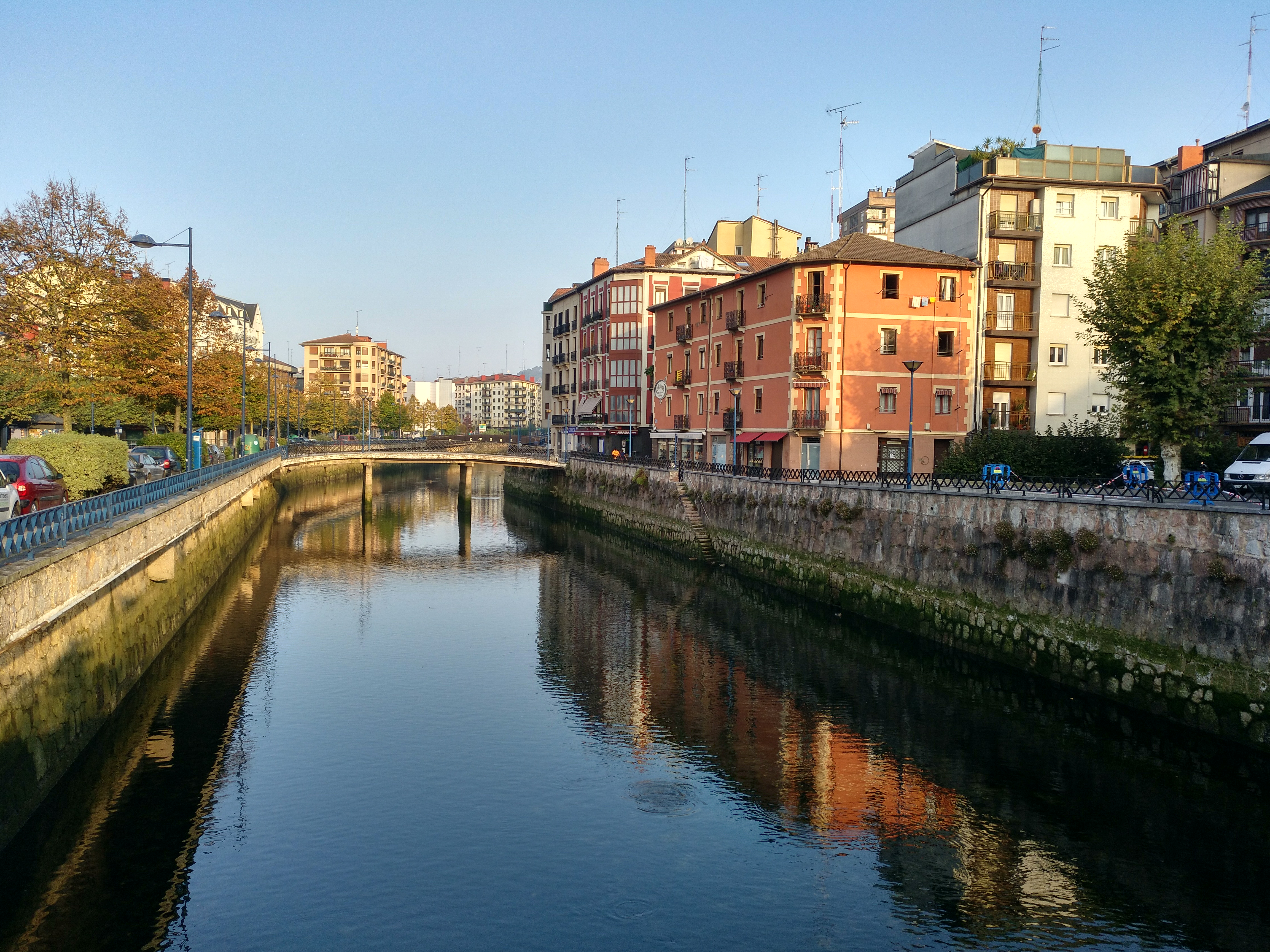
Ermua is a town and municipality located in the province of Biscay, in the autonomous community of Basque Country, northern Spain. In 2019, Ermua had 15,880 inhabitants. Ermua is a town in the Durangaldea comarca of the province of Biscay in northern Spain. It is situated in a steep-sided valley beside the Río Ego, a tributary of the Deba River. Because of the steep, irregular terrain, building space is limited, and Ermua is one of the most densely populated towns in the Basque country. To the north of Ermua lies the municipality of Mallabia, to the east lies Eibar and to the south lies Zaldibar. Eibar is a larger town which lies just across the provincial border, in the province of Gipuzkoa, the two towns forming a single urban area. Ermua has grown greatly in size during the 1960s and 1970s and acts as a dormitory town to Eibar, both of them being industrial towns. Ermua and Eibar are linked by the N-634 and share a common exit from the Autopista AP-8 (AP-8), the toll road th ... [...More Info...] [...Related Items...] OR: [Wikipedia] [Google] [Baidu] |
Municipalities Of Spain
The municipality ( es, municipio, , ca, municipi, gl, concello, eu, udalerria, ast, conceyu)In other languages of Spain: * Catalan/Valencian (), sing. ''municipi''. * Galician () or (), sing. ''municipio''/''bisbarra''. *Basque (), sing. ''udalerria''. * Asturian (), sing. ''conceyu''. is the basic local administrative division in Spain together with the province. Organisation Each municipality forms part of a province which in turn forms part or the whole of an autonomous community (17 in total plus Ceuta and Melilla): some autonomous communities also group municipalities into entities known as ''comarcas'' (districts) or ''mancomunidades'' (commonwealths). There are a total of 8,131 municipalities in Spain, including the autonomous cities of Ceuta and Melilla. In the Principality of Asturias, municipalities are officially named ''concejos'' (councils). The average population of a municipality is about 5,300, but this figure masks a huge range: the most populo ... [...More Info...] [...Related Items...] OR: [Wikipedia] [Google] [Baidu] |
Comarcas Of Spain
In Spain, a ''comarca'' (, sing. ''comarca'') is either a traditional territorial division without any formal basis, or a group of municipalities, legally defined by an autonomous community for the purpose of providing common local government services. In English, a comarca is equivalent to a district, county, area or zone. Legally defined comarcas The large majority of legally defined comarcas are in Catalonia (42) and Aragon (33)), and are regulated by law and are governed by a comarcal council with specified powers. There are seven comarcas formally registered in Basque Country and one in Castile and León. In Andalusia and Asturias, comarcas are defined by law but lack any defined function. Informal comarcas In other regions, comarcas are traditional or historical or in some cases, contemporary creations designed for tourism promotions. In some other cases (e.g. La Carballeda) a comarca may correspond to a natural area, like a valley, river basin and mountainous area, ... [...More Info...] [...Related Items...] OR: [Wikipedia] [Google] [Baidu] |
Autopista AP-8
The Autopista AP-8 is a highway ( autopista) in the north of Spain and crosses the Basque Country from east to west. It is known as the Autopista del Cantábrico (highway of the Cantabrian) and connects the French border with Bilbao. This toll road passes Donostia-San Sebastián, Zarautz, Eibar and Durango. At Bilbao the Autopista AP-8 changes into the Autovía A-8, which continues along the Spanish northern coast to Gijón Gijón () or () is a city and municipality in north-western Spain. It is the largest city and municipality by population in the autonomous community of Asturias. It is located on the coast of the Cantabrian Sea in the Bay of Biscay, in the cent ... and eventually the region of Galicia. List of junctions References {{DEFAULTSORT:AP-8 Roads in the Basque Country (autonomous community) Autopistas and autovías in Spain ... [...More Info...] [...Related Items...] OR: [Wikipedia] [Google] [Baidu] |
Durango, Biscay
Durango is a town and municipality of the historical territory and province of Biscay, located in the Basque Country (autonomous community), Basque Country, Spain. It is the main town of Durangaldea, one of the ''comarcas of Spain, comarcas'' of Biscay. Because of its economical activities and population, Durango is considered one of the largest towns in Biscay after the ones that compose the conurbation of Greater Bilbao. Durango has 29,318 inhabitants (2017). The town is crossed by three rivers (as illustrated in the town symbol). The Ibaizabal river is the main river, and lies in the middle of its wide valley, with the Urkiola, Urkiola mountain range and natural park to the south. The most important peak is the majestic Anboto ( in elevation). In addition, inside the town two mountains stand out: Pagasarri mountain (838 m) and mugarra mountain (453 m). Etymology There are many differing opinions about the origin of the name Durango. Basque linguist Alfonso Irigoyen ... [...More Info...] [...Related Items...] OR: [Wikipedia] [Google] [Baidu] |
Bilbao
) , motto = , image_map = , mapsize = 275 px , map_caption = Interactive map outlining Bilbao , pushpin_map = Spain Basque Country#Spain#Europe , pushpin_map_caption = Location within Basque Country##Location within Spain##Location within Europe , pushpin_relief = yes , subdivision_type = Country , subdivision_name = , subdivision_type1 = Autonomous community , subdivision_name1 = Basque Country , subdivision_type2 = Province , subdivision_name2 = Biscay , subdivision_type3 = Comarca , subdivision_name3 = Greater Bilbao , seat_type = , seat = , coordinates = , coordinates_footnotes = , elevation_m = 19 , elevation_min_m = 0 , elevation_max_m = 689 , area_footnotes = , area_total_km2 = 41.50 , area_urban_km2 = 18.22 , ar ... [...More Info...] [...Related Items...] OR: [Wikipedia] [Google] [Baidu] |
N-634 Road (Spain)
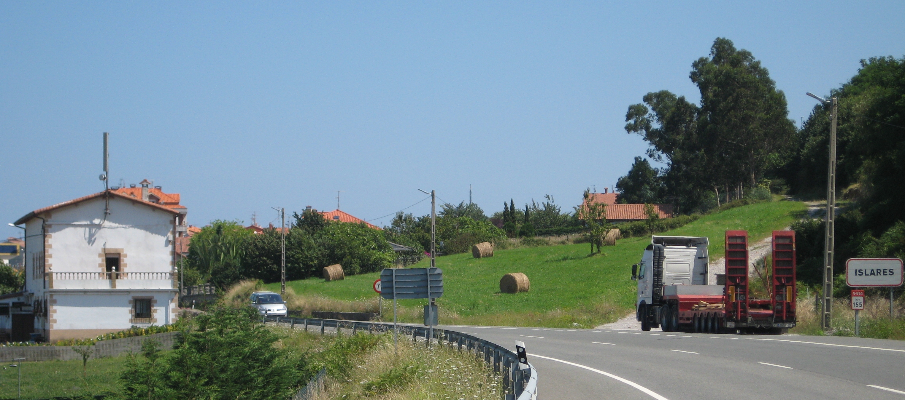
The N-634 is a highway in northern Spain. It connects Santiago de Compostela with Donostia, San Sebastián.  It starts at Santiago de Compostela at a junction with the N-550 (Road), N-550.and crosses the Autopista AP-9 heading north east. There is a junction with the N-547 (Road), N-547. The road meets junction 140 with the Autovía A-6. After 17 km the road splits and heads north passing Vilalba. The road then climbs to cross the ''Porto da Xesta'' (545m) before dropping into Mondoñedo. The road follows the Rio Misma to the coast and a junction with the N-642 (Road), N-642.
The road turns east along the coast through Ribadeo where it meets the N-640 (Road), N-640. After Luarca the road turns south and inland while the N-632 (Road), N-632 continues along the coast. The road ri ...
[...More Info...] [...Related Items...] OR: [Wikipedia] [Google] [Baidu] |
Berriz
Berriz (in Basque and officially, in Spanish: ''Bérriz'') is an elizate, town and municipality located in the province of Biscay, in the Basque Country, northern Spain. Berriz is part of the ''comarca'' of Durangaldea and has a population of 4.623 inhabitants as of 2019 and according to the Spanish National Statistics Institute. Toponymy ''Berriz'' belongs to a series of Basque toponyms with an ''-iz'' ending. Julio Caro Baroja defended that most of these toponyms came from an original Basque toponym plus the Latin suffix ''-icus''. Caro Baroja considered that on toponymy, the suffixes ''-oz'', ''-ez'' and ''-iz'' used to be combined with the name of the owner of the lands, with its origin being in some place between the Middle Ages and the Roman Empire. In the case of ''Berriz'', Caro Baroja suggested that the name might come from ''Verrius'', the documented Latin name. Then, to the name ''Verrius'' it was added the suffix ''-icus'' (indicating that the lands were owned by V ... [...More Info...] [...Related Items...] OR: [Wikipedia] [Google] [Baidu] |
Gipuzkoa
Gipuzkoa (, , ; es, Guipúzcoa ; french: Guipuscoa) is a province of Spain and a historical territory of the autonomous community of the Basque Country. Its capital city is Donostia-San Sebastián. Gipuzkoa shares borders with the French department of Pyrénées-Atlantiques at the northeast, with the province and autonomous community of Navarre at east, Biscay at west, Álava at southwest and the Bay of Biscay to its north. It is located at the easternmost extreme of the Cantabric Sea, in the Bay of Biscay. It has of coast land. With a total area of , Gipuzkoa is the smallest province of Spain. The province has 89 municipalities and a population of 720,592 inhabitants (2018), from which more than half live in the Donostia-San Sebastián metropolitan area. Apart from the capital, other important cities are Irun, Errenteria, Zarautz, Mondragón, Eibar, Hondarribia, Oñati, Tolosa, Beasain and Pasaia. The oceanic climate gives the province an intense green colour with littl ... [...More Info...] [...Related Items...] OR: [Wikipedia] [Google] [Baidu] |


