|
Maikal Range
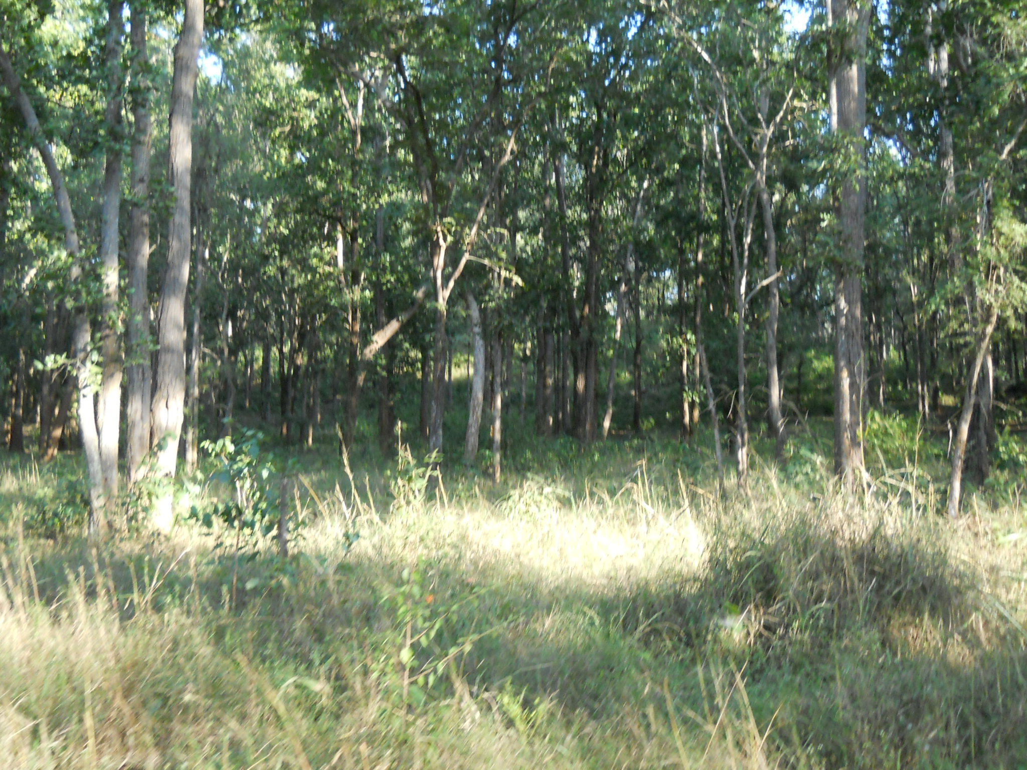
The Maikal Hills are range of hills in the state of eastern Madhya Pradesh and Chhattisgarh India. The Maikal Hills are an eastern part of the Satpuras in Kawardha District of Chhattisgarh and Anuppur district of Madhya Pradesh, overlooking the scenic town of Kawardha. Their altitudes range from 340 m to 941 m above sea level. This densely forested and thinly populated range gives rise to several streams and rivers including the tributaries of Narmada and Wainganga rivers. The hills are inhabited by two tribal peoples, the Baigas and the Gonds. The hill range is rich in flora and fauna wealth. History This region was once ruled by the Panduvamshis of Mekala. Their territory included parts of the present-day Mandla, Shahdol, and Bilaspur districts. Culture Folk songs are part of the heritage of the tribal peoples of the Maikal Hills. Geography The Maikal are a hilly region in central India. This mountain range is one of the broad topographical divisions of Chhattisgarh. ... [...More Info...] [...Related Items...] OR: [Wikipedia] [Google] [Baidu] |
Chhattisgarh
Chhattisgarh (, ) is a landlocked state in Central India. It is the ninth largest state by area, and with a population of roughly 30 million, the seventeenth most populous. It borders seven states – Uttar Pradesh to the north, Madhya Pradesh to the northwest, Maharashtra to the southwest, Jharkhand to the northeast, Odisha to the east, Telangana and Andhra Pradesh to the south. Formerly a part of Madhya Pradesh, it was granted statehood on 1 November 2000 with Raipur as the designated state capital. Chhattisgarh is one of the fastest-developing states in India. Its Gross State Domestic Product (GSDP) is , with a per capita GSDP of . A resource-rich state, it has the third largest coal reserves in the country and provides electricity, coal, and steel to the rest of the nation. It also has the third largest forest cover in the country after Madhya Pradesh and Arunachal Pradesh with over 40% of the state covered by forests. Etymology There are several theories as to the ... [...More Info...] [...Related Items...] OR: [Wikipedia] [Google] [Baidu] |
Bilaspur District, Chhattisgarh
Bilaspur district is a district of the Chhattisgarh States and territories of India, state of India. Bilaspur, Chhattisgarh, Bilaspur city is the headquarters of the district. , it is the second most populous district of Chhattisgarh (out of Districts of Chhattisgarh, 27), after Raipur district, Raipur. Etymology The name of the district derived from the city of Bilaspur, Chhattisgarh, Bilaspur, the administrative headquarter of the district. The name "Bilaspur" originated from Bilasa Devi, a fisherwoman who founded this city, according to a legend. Geography Bilaspur district is situated between 21º47' and 23º8' north latitudes and 81º14' and 83º15' east longitudes. The district is bounded by Gaurella-Pendra-Marwahi district, Gaurela-Pendra-Marwahi district on the north, Anuppur District and Dindori district, Dindori District of Madhya Pradesh state on the west, Kabirdham district, Kabirdham on the southwest, Durg District, Durg and Raipur District, Raipur on the sout ... [...More Info...] [...Related Items...] OR: [Wikipedia] [Google] [Baidu] |
Aluminium
Aluminium (aluminum in American and Canadian English) is a chemical element with the symbol Al and atomic number 13. Aluminium has a density lower than those of other common metals, at approximately one third that of steel. It has a great affinity towards oxygen, and forms a protective layer of oxide on the surface when exposed to air. Aluminium visually resembles silver, both in its color and in its great ability to reflect light. It is soft, non-magnetic and ductile. It has one stable isotope, 27Al; this isotope is very common, making aluminium the twelfth most common element in the Universe. The radioactivity of 26Al is used in radiodating. Chemically, aluminium is a post-transition metal in the boron group; as is common for the group, aluminium forms compounds primarily in the +3 oxidation state. The aluminium cation Al3+ is small and highly charged; as such, it is polarizing, and bonds aluminium forms tend towards covalency. The strong affinity tow ... [...More Info...] [...Related Items...] OR: [Wikipedia] [Google] [Baidu] |
Bauxite
Bauxite is a sedimentary rock with a relatively high aluminium content. It is the world's main source of aluminium and gallium. Bauxite consists mostly of the aluminium minerals gibbsite (Al(OH)3), boehmite (γ-AlO(OH)) and diaspore (α-AlO(OH)), mixed with the two iron oxides goethite (FeO(OH)) and haematite (Fe2O3), the aluminium clay mineral kaolinite (Al2Si2O5(OH)4) and small amounts of anatase (TiO2) and ilmenite (FeTiO3 or FeO.TiO2). Bauxite appears dull in luster and is reddish-brown, white, or tan. In 1821, the French geologist Pierre Berthier discovered bauxite near the village of Les Baux in Provence, southern France. Formation Numerous classification schemes have been proposed for bauxite but, , there was no consensus. Vadász (1951) distinguished lateritic bauxites (silicate bauxites) from karst bauxite ores (carbonate bauxites): * The carbonate bauxites occur predominantly in Europe, Guyana, Suriname, and Jamaica above carbonate rocks (limestone and do ... [...More Info...] [...Related Items...] OR: [Wikipedia] [Google] [Baidu] |
Barasingha
The barasingha (''Rucervus duvaucelii''), also known as the swamp deer, is a deer species distributed in the Indian subcontinent. Populations in northern and central India are fragmented, and two isolated populations occur in southwestern Nepal. It has been extirpated in Pakistan and Bangladesh, and its presence is uncertain in Bhutan. The specific name commemorates the French naturalist Alfred Duvaucel. The swamp deer differs from all other Indian deer species in that the antlers carry more than three tines. Because of this distinctive character it is designated ''bārah-singgā'', meaning "twelve-horned" in Hindi.Lydekker, R. (1888–1890)''The new natural history'' Volume 2 Printed by order of the Trustees of the British Museum (Natural History), London. Mature stags usually have 10 to 14 tines, and some have been known to have up to 20.Prater, S. H. (1948). ''The book of Indian animals''. Oxford University Press. (10th ed.) In Assamese, ''barasingha'' is called ''dolhorina ... [...More Info...] [...Related Items...] OR: [Wikipedia] [Google] [Baidu] |
Tiger
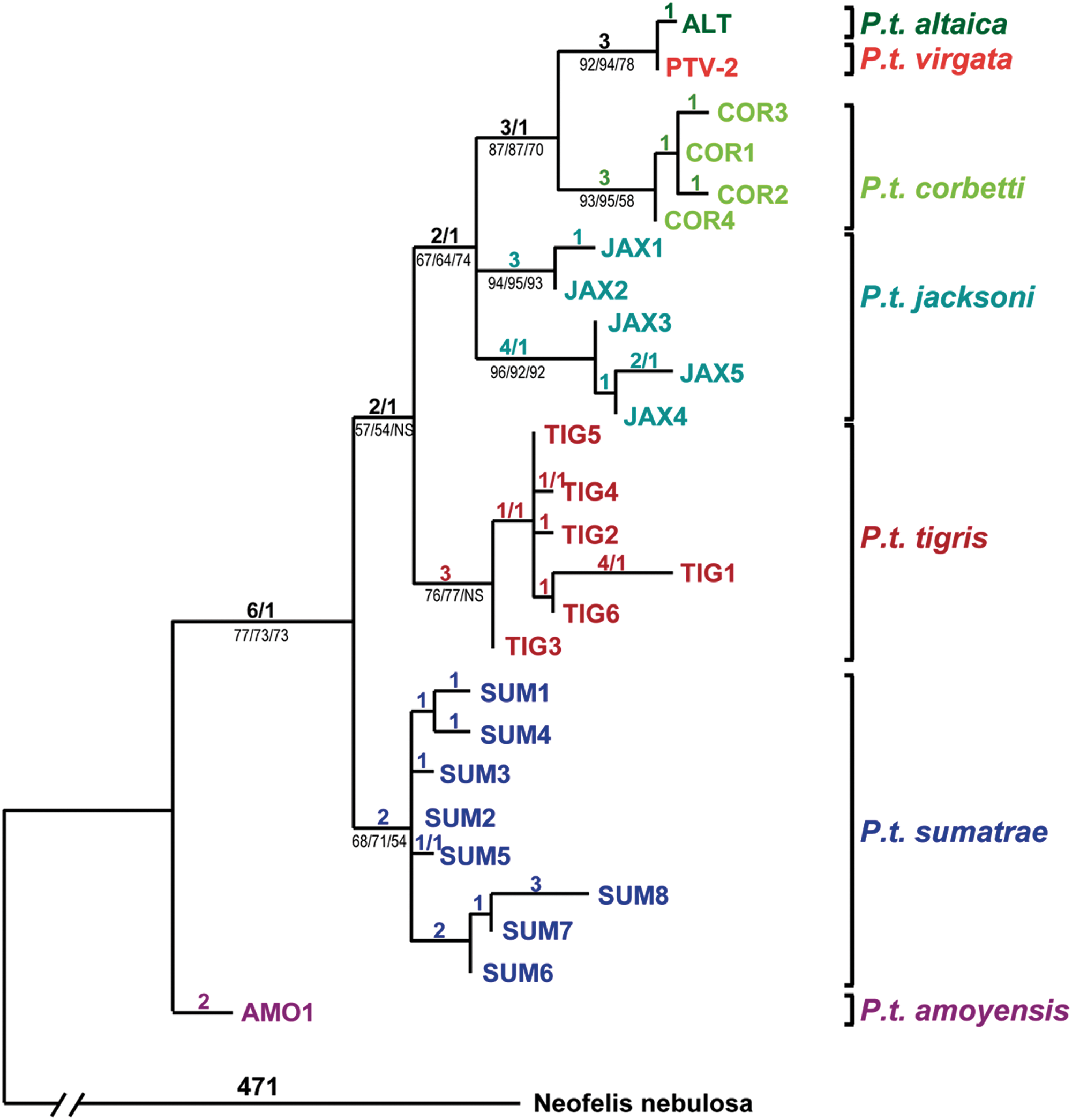
The tiger (''Panthera tigris'') is the largest living cat species and a member of the genus '' Panthera''. It is most recognisable for its dark vertical stripes on orange fur with a white underside. An apex predator, it primarily preys on ungulates, such as deer and wild boar. It is territorial and generally a solitary but social predator, requiring large contiguous areas of habitat to support its requirements for prey and rearing of its offspring. Tiger cubs stay with their mother for about two years and then become independent, leaving their mother's home range to establish their own. The tiger was first scientifically described in 1758. It once ranged widely from the Eastern Anatolia Region in the west to the Amur River basin in the east, and in the south from the foothills of the Himalayas to Bali in the Sunda Islands. Since the early 20th century, tiger populations have lost at least 93% of their historic range and have been extirpated from Western and Central Asia, t ... [...More Info...] [...Related Items...] OR: [Wikipedia] [Google] [Baidu] |
Balaghat
Balaghat is a city and a municipality in Balaghat district, in the state of Madhya Pradesh, India. It is the administrative headquarters of Balaghat District. Wainganga River flows beside the town. Geography Balaghat is located at . It has an average elevation of 288 metres (944 feet). Demographics As of the 2011 Census of India The 2011 Census of India or the 15th Indian Census was conducted in two phases, house listing and population enumeration. The House listing phase began on 1 April 2010 and involved the collection of information about all buildings. Information ..., Balaghat had a population of 84,216. Males constitute 51% of the population and females 49%. 11% of the population is under 6 years of age. References Further reading {{Authority control Cities and towns in Balaghat district sv:Balaghat (distrikt) ... [...More Info...] [...Related Items...] OR: [Wikipedia] [Google] [Baidu] |
Mandla
Mandla is a city with municipality in Mandla district in the Indian state of Madhya Pradesh. It is the administrative headquarters of Mandla District. The city is situated in a loop of the Narmada River, which surrounds it on three sides, and for 15 miles between Mandla and Ramnagar, Madhya Pradesh the river flows in a deep bed unbroken by rocks. The Narmada is worshiped here, and many ghats have been constructed on the banks of the river. It was a capital of the Gondwana Kingdom who built a palace and a fort, which in the absence of proper care have gone to ruins. History Writers such as Alexander Cunningham, John Faithfull Fleet, Moti Raven Kangali, Girija Shankar Agrawal and Brajesh Mishra identify Mandla as the location of ancient Mahishmati. Gondwana queen, Rani Durgavati shah ruled Mandla province and fought against Akbar in her valiant effort to save her kingdom; which is still subject to folklore. Rani Avantibai of Ramgarh later fought with the British to save her k ... [...More Info...] [...Related Items...] OR: [Wikipedia] [Google] [Baidu] |
Kanha National Park
Kanha Tiger Reserve, also known as Kanha–Kisli National Park, is one of the tiger reserves of India and the largest national park of the state of Madhya Pradesh. The present-day Kanha area is divided into two protected areas, Hallon and Banjar, of , respectively. Kanha National Park was created on 1 June 1955 and was designated a tiger reserve in 1973. Today, it encompasses an area of in the two districts Mandla and Balaghat. Together with a surrounding buffer zone of and the neighbouring Phen Sanctuary, it forms the Kanha Tiger Reserve, which is one of the biggest in the country. This makes it the largest national park in central India. The park hosts Bengal tiger, Indian leopard, sloth bear, barasingha and dhole. It is also the first tiger reserve in India to officially introduce a mascot, Bhoorsingh the Barasingha. Flora Kanha Tiger Reserve is home to over 1000 species of flowering plants. The lowland forest is a mixture of sal (''Shorea robusta'') and other mixed ... [...More Info...] [...Related Items...] OR: [Wikipedia] [Google] [Baidu] |
Protected Areas
Protected areas or conservation areas are locations which receive protection because of their recognized natural, ecological or cultural values. There are several kinds of protected areas, which vary by level of protection depending on the enabling laws of each country or the regulations of the international organizations involved. Generally speaking though, protected areas are understood to be those in which human presence or at least the exploitation of natural resources (e.g. firewood, non-timber forest products, water, ...) is limited. The term "protected area" also includes marine protected areas, the boundaries of which will include some area of ocean, and transboundary protected areas that overlap multiple countries which remove the borders inside the area for conservation and economic purposes. There are over 161,000 protected areas in the world (as of October 2010) with more added daily, representing between 10 and 15 percent of the world's land surface area. As of 20 ... [...More Info...] [...Related Items...] OR: [Wikipedia] [Google] [Baidu] |
Melghat
Melghat was among the first nine tiger reserves of India to be notified in 1973 under Project Tiger. It is located at in the northern part of Amravati District of Maharashtra. Melghat Wildlife Sanctuary was declared as in 1985. The Tapti River flows through the northern part of Melghat Tiger Reserve, and forms the boundary of the reserve together with the Gawilghur ridge of the Satpura Range. History There are passes in Melghat that Kings from the north traversed to reach Berar, where the Imad Shahi dynasty had been founded in 1484. The historic forts, Narnala and Gawilgarh, guarded the main east-west ridge. In 1803, in the Second Maratha War, Colonel Arthur Wellesley, who later became the Duke of Wellington, captured the Gawilgarh fort from the Marathas. Geography At the northern extreme of the Amravati district of Maharashtra, on the border of Madhya Pradesh, lies the Melghat in the South-western Satpura mountain ranges. Melghat means 'meeting of the ghats', which describ ... [...More Info...] [...Related Items...] OR: [Wikipedia] [Google] [Baidu] |
Achanakmar Wildlife Sanctuary
The Achanakmar Wildlife Sanctuary is a sanctuary in Mungeli district of Chhattisgarh and in the Anuppur and Dindori districts of Madhya Pradesh in India. It had been established in 1975, under the provisions of the ''Indian Wildlife Protection Act of 1972'', and declared as a Tiger Reserve under ''Project Tiger'', in 2009. It is a part of the Achanakmar-Amarkantak Biosphere Reserve. Geography and history Linked by the hilly Kanha-Achanakmar Corridor to the tiger reserve in Kanha, Madhya Pradesh, the sanctuary comprises of forest. The park is part of Mungeli And Bilaspur Forest Division in northwest Chhattisgarh, around north of Mungeli. The nearest railway station is at Belgahna and nearest airport Bilaspur Airport(Bilasa Bai Kevat) at chakarbhata (10 km from Bilaspur) which have regular flights from Delhi, Jabalpur and Prayagraj. Achanakmar can be reached from Pendra Road and Bilaspur railway stations. Achanakmar has a restaurant, a coffee house and many other ... [...More Info...] [...Related Items...] OR: [Wikipedia] [Google] [Baidu] |
.png)


_juvenile_male.jpg)


