|
Magharet El Kantara
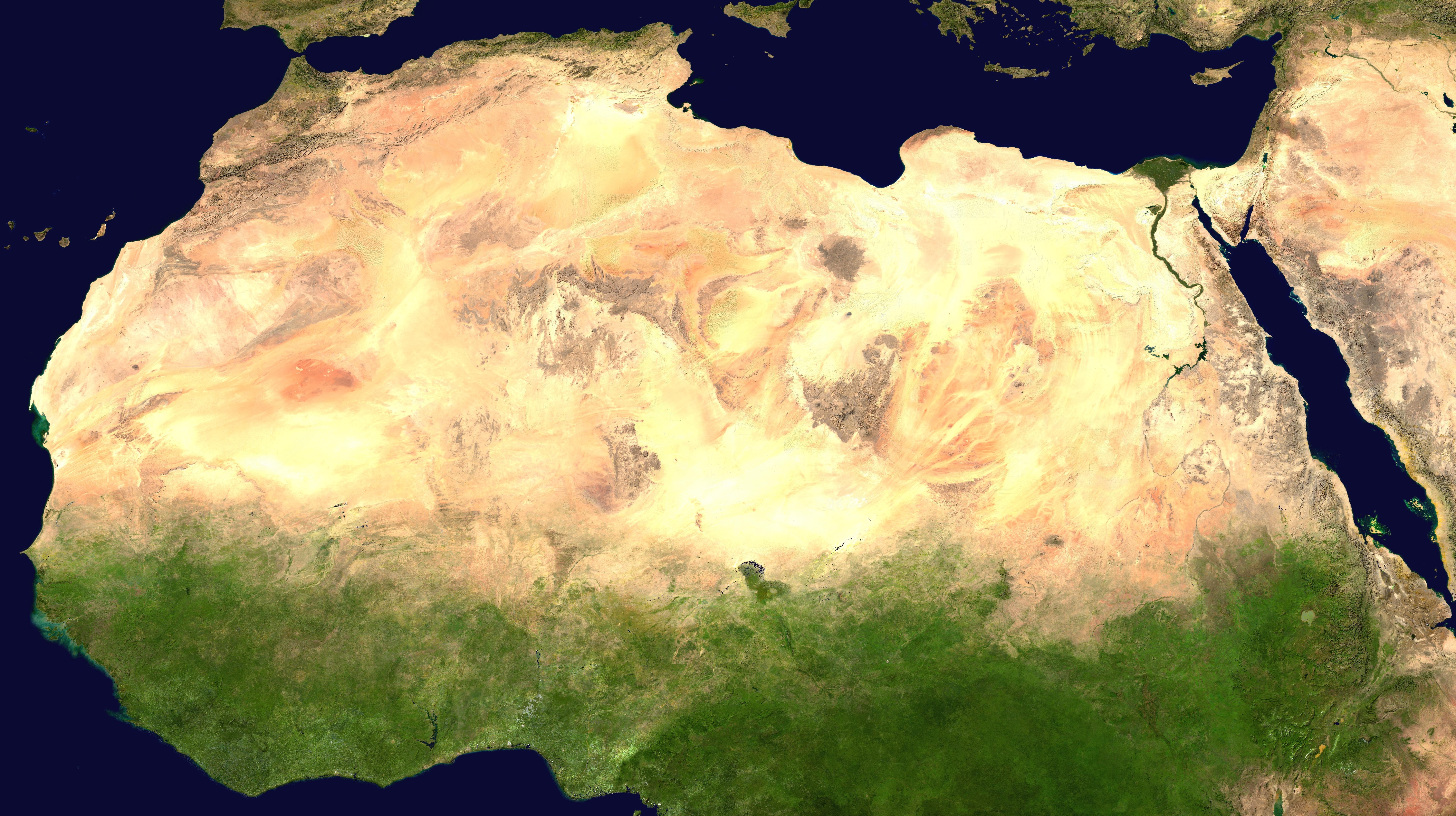
Magharet el Kantara or Shaw's Cave ( ar, مغارة القنطرة, ''arched cave'') is a rock art shelter of the Gilf Kebir National Park in the New Valley Governorate, Egypt. Located on the south-western slopes of Gilf Kebir, it was discovered in 1935 by the explorers Bill Kennedy Shaw and Rupert Harding Newman. Description The cave is high and wide. About half a meter above the ground there are rock paintings of a herd of differently drawn cattle and a farmstead representing a rare example of cattle paintings in the Gilf Kebir that otherwise are abundant in the nearby Jebel Ouenat. These Neolithic rock paintings testify the favorable climatic conditions of life during the African humid period The African humid period (AHP) (also known by other names) is a climate period in Africa during the late Pleistocene and Holocene geologic epochs, when northern Africa was wetter than today. The covering of much of the Sahara desert by grasses, ... much different from the present o ... [...More Info...] [...Related Items...] OR: [Wikipedia] [Google] [Baidu] |
Gilf Kebir
Gilf Kebir () (var. Gilf al-Kebir, Jilf al Kabir, Gilf Kebir Plateau) is a plateau in the New Valley Governorate of the remote southwest corner of Egypt, and southeast Libya. Its name translates as "the Great Barrier". This sandstone plateau, roughly the size of Puerto Rico, rises from the Libyan Desert floor. It is the true heart of the Gilf Kebir National Park. The name Gilf Kebir was given to the plateau by Prince Kamal el Dine Hussein in 1925, as it had no local name. It is known for its rugged beauty, remoteness, geological interest, and the dramatic cliff paintings-pictographs and rock carvings-petroglyphs which depict an earlier era of abundant animal life and human habitation. Geography and climate The Uweinat mountain range at the very south of the plateau extends from Egypt into Libya and Sudan. Wadis The plateau is crisscrossed by Wadis (dry, seasonal riverbeds). These include: * Wadi Hamra * Wadi Akhdar * Wadi Bakht * Wadi Dayiq * Wadi Firaq * Wadi Gazayir ... [...More Info...] [...Related Items...] OR: [Wikipedia] [Google] [Baidu] |
New Valley Governorate
New Valley Governorate or El Wadi El Gedid Governorate ( ar, محافظة الوادي الجديد , ) is one of the governorates of Egypt. It is in the southwestern part of the country, in the south of Egypt Western Desert (Egypt), Western Desert (part of the Sahara Desert), between the Nile, northern Sudan, and southeastern Libya. Consisting of roughly half of Egypt's area, this spacious governorate is the country's largest and most sparsely populated, and one of the List of country subdivisions by area, biggest subnational divisions on the African continent, as well as the world. At 440,098 square kilometers in area, New Valley Governorate is just slightly larger than the country of Iraq. The capital is at the Kharga Oasis. New Valley Governate is named after the New Valley Project, which aims to irrigate parts of the Western Desert. Municipal divisions The governorate is divided into Subdivisions_of_Egypt#Municipal_divisions, municipal divisions with a total est ... [...More Info...] [...Related Items...] OR: [Wikipedia] [Google] [Baidu] |
Egypt
Egypt ( ar, مصر , ), officially the Arab Republic of Egypt, is a transcontinental country spanning the northeast corner of Africa and southwest corner of Asia via a land bridge formed by the Sinai Peninsula. It is bordered by the Mediterranean Sea to the north, the Gaza Strip of Palestine and Israel to the northeast, the Red Sea to the east, Sudan to the south, and Libya to the west. The Gulf of Aqaba in the northeast separates Egypt from Jordan and Saudi Arabia. Cairo is the capital and largest city of Egypt, while Alexandria, the second-largest city, is an important industrial and tourist hub at the Mediterranean coast. At approximately 100 million inhabitants, Egypt is the 14th-most populated country in the world. Egypt has one of the longest histories of any country, tracing its heritage along the Nile Delta back to the 6th–4th millennia BCE. Considered a cradle of civilisation, Ancient Egypt saw some of the earliest developments of writing, agriculture, ur ... [...More Info...] [...Related Items...] OR: [Wikipedia] [Google] [Baidu] |
Neolithic
The Neolithic period, or New Stone Age, is an Old World archaeological period and the final division of the Stone Age. It saw the Neolithic Revolution, a wide-ranging set of developments that appear to have arisen independently in several parts of the world. This "Neolithic package" included the introduction of farming, domestication of animals, and change from a hunter-gatherer lifestyle to one of settlement. It began about 12,000 years ago when farming appeared in the Epipalaeolithic Near East, and later in other parts of the world. The Neolithic lasted in the Near East until the transitional period of the Chalcolithic (Copper Age) from about 6,500 years ago (4500 BC), marked by the development of metallurgy, leading up to the Bronze Age and Iron Age. In other places the Neolithic followed the Mesolithic (Middle Stone Age) and then lasted until later. In Ancient Egypt, the Neolithic lasted until the Protodynastic period, 3150 BC.Karin Sowada and Peter Grave. Egypt in th ... [...More Info...] [...Related Items...] OR: [Wikipedia] [Google] [Baidu] |
Gilf Kebir National Park
Gilf Kebir National Park (GKNP) ( ar, محمية الجلف الكبير) is a national park located in the remote and hyper-arid New Valley Governorate, Egypt. Established in 2007, it has a surface area of 48533 km2, equal to about 5% of Egypt's territory. GKNP is delimited to the west by Libya and to the south by Sudan. At present there are no human settlements or facilities inside the GKNP. Ecosystems and cultural values The park consists of three different ecosystems: the southern ranges of the Great Sand Sea including the Silica glass area, the proper Gilf Kebir plateau and the Egyptian portion of the Gabal El Uweinat massif. The Great Sand Sea is a large complex of sand dunes extending from the Siwa oasis in the north to the Gilf Kebir in the south. Its south western part is covered by the Silica Glass area, which is scattered with fragments of pure glass, formed about 30 million years ago due to the explosion of a meteorite or comet. The Gilf Kebir is a plateau, ... [...More Info...] [...Related Items...] OR: [Wikipedia] [Google] [Baidu] |
Bill Kennedy Shaw
William Boyd Kennedy Shaw OBE (26 October 1901 – 23 April 1979) was a British desert explorer, botanist, archaeologist and soldier. During the Second World War he served with the British Army's Long Range Desert Group, and the Special Air Service Regiment. He was known, variously as Bill Shaw or Bill Kennedy-Shaw, but preferred the latter form of his name, which he always used in his writings. Early life Kennedy-Shaw was born on 26 October 1901, the son of Colonel F. S. Kennedy-Shaw, of King's Orchard, Teffont Magna, Wiltshire. He received his formal education at Radley College. In the 1920s and 1930s Kennedy-Shaw contributed to the exploration of the Western Desert in the area around the south-western corner of modern Egypt with his particular interest and skills as a botanist, archaeologist and navigator. He made three major trips: During the winter of 1927/1928 Kennedy-Shaw and Douglas Newbold, on leave from the Sudan Government service, travelled the Arba’in slave ... [...More Info...] [...Related Items...] OR: [Wikipedia] [Google] [Baidu] |
Jebel Ouenat
Mount Uwaynat or Gabal El Uweinat ( ar, جبل العوينات ', Arabic for 'Mountain of the springs') is a mountain range in the area of the Egyptian-Libyan-Sudanese tripoint. Because of thousands of prehistoric rock art sites, it is considered an important witness to the development of early pastoralism in the Sahara. Cultural significance The area is notable for its prehistoric rock carvings, first reported by the Egyptian explorer Ahmed Pasha Hassanein—the discoverer of Uweinat, who in 1923 traversed the first 40 km of the mountain towards east, without reaching the end. Engraved in sandstone, thousands of petroglyphs are visible, representing lions, giraffes, ostriches, gazelles, cows and little human figures. According to a technical report of UNESCO, "Thousands of rock art sites of different styles and themes are distributed all over the area, witnessing to the development of early pastoralism in Africa and exchanges among different ethnic groups across the Sah ... [...More Info...] [...Related Items...] OR: [Wikipedia] [Google] [Baidu] |
African Humid Period
The African humid period (AHP) (also known by other names) is a climate period in Africa during the late Pleistocene and Holocene geologic epochs, when northern Africa was wetter than today. The covering of much of the Sahara desert by grasses, trees and lakes was caused by changes in Earth's orbit around the Sun; changes in vegetation and dust in the Sahara which strengthened the African monsoon; and increased greenhouse gases. During the preceding Last Glacial Maximum, the Sahara contained extensive dune fields and was mostly uninhabited. It was much larger than today, but its lakes and rivers such as Lake Victoria and the White Nile were either dry or at low levels. The humid period began about 14,600–14,500 years ago at the end of Heinrich event 1, simultaneously to the Bølling–Allerød warming. Rivers and lakes such as Lake Chad formed or expanded, glaciers grew on Mount Kilimanjaro and the Sahara retreated. Two major dry fluctuations occurred; during the Youn ... [...More Info...] [...Related Items...] OR: [Wikipedia] [Google] [Baidu] |
Saharan Rock Art
Saharan rock art is a significant area of archaeological study focusing on artwork carved or painted on the natural rocks of the central Sahara desert. The rock art dates from numerous periods starting years ago, and is significant because it shows the culture of ancient African societies. The paintings and carvings of the Sahara are endangered, and vulnerable rock art on uncovered rock has already disappeared. Organizations, such as the Trust for African Rock Art, are researching and recording as much information about Saharan rock art as possible, while raising awareness of threats to the art itself. Archaeological sites Important regions and sites include: *Cave of Swimmers and Cave of Beasts caves area, Gilf Kebir area, Egypt *Tibesti, Chad: Also known as Tibesti Massif or Tibesti Mountains located in central Sahara, extending from Niger and Libya. The mountains are volcanic and are approximately long and wide. The rock art that exists in these mountains was created befor ... [...More Info...] [...Related Items...] OR: [Wikipedia] [Google] [Baidu] |
Caves Of Egypt
A cave or cavern is a natural void in the ground, specifically a space large enough for a human to enter. Caves often form by the weathering of rock and often extend deep underground. The word ''cave'' can refer to smaller openings such as sea caves, rock shelters, and grottos, that extend a relatively short distance into the rock and they are called ''exogene'' caves. Caves which extend further underground than the opening is wide are called ''endogene'' caves. Speleology is the science of exploration and study of all aspects of caves and the cave environment. Visiting or exploring caves for recreation may be called ''caving'', ''potholing'', or ''spelunking''. Formation types The formation and development of caves is known as ''speleogenesis''; it can occur over the course of millions of years. Caves can range widely in size, and are formed by various geological processes. These may involve a combination of chemical processes, erosion by water, tectonic forces, microorganism ... [...More Info...] [...Related Items...] OR: [Wikipedia] [Google] [Baidu] |


