|
Madhyapur Thimi
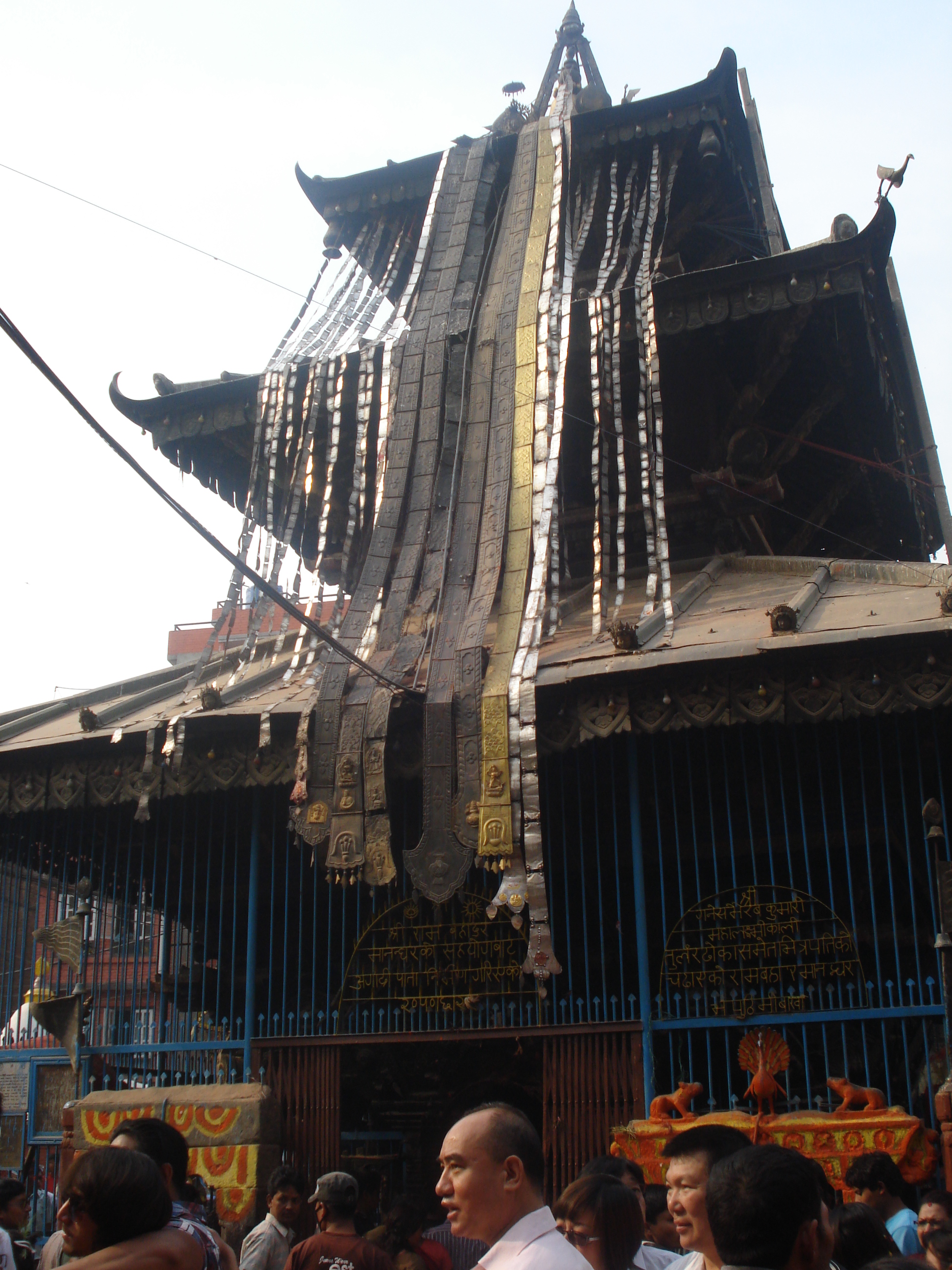
Madhyapur Thimi, also known as Thimi, ( ne, मध्यपुर थिमि) is a municipality in Bhaktapur District in the Bagmati Zone of central Nepal. Thimi lies between Kathmandu, Lalitpur and Bhaktapur in the Kathmandu Valley. It is one of the ancient cultural and historical places along the trade route from Bhaktapur to Kathmandu. The city is situated on elevated land and occupies an area of , divided into nine administrative wards. The mayor was Madan Sundar Shrestha of the Communist Party of Nepal (Unified Marxist–Leninist) of Nepal. Archaeology There are indications that the city may be as old as 3000 BC. A recent work by Mohan Pant and Shuji Funo compared the very regular grid layout of Thimi to other ancient cities in the Indus valley and Nepal. The details of the grid dimensions of city blocks are very close to those of Mohenjo-daro and Sirkap (part of ruins near Taxila) in Pakistan; also Patan, Nepal. The authors found that plot dimensions measure by , and are ... [...More Info...] [...Related Items...] OR: [Wikipedia] [Google] [Baidu] |
Municipality
A municipality is usually a single administrative division having corporate status and powers of self-government or jurisdiction as granted by national and regional laws to which it is subordinate. The term ''municipality'' may also mean the governing body of a given municipality. A municipality is a general-purpose administrative subdivision, as opposed to a special-purpose district. The term is derived from French and Latin . The English word ''municipality'' derives from the Latin social contract (derived from a word meaning "duty holders"), referring to the Latin communities that supplied Rome with troops in exchange for their own incorporation into the Roman state (granting Roman citizenship to the inhabitants) while permitting the communities to retain their own local governments (a limited autonomy). A municipality can be any political jurisdiction, from a sovereign state such as the Principality of Monaco, to a small village such as West Hampton Dunes, New York. Th ... [...More Info...] [...Related Items...] OR: [Wikipedia] [Google] [Baidu] |
Bhaktapur
, motto = ne, पुर्खले सिर्जेको सम्पत्ती, हाम्रो कला र संस्कृति , lit=Creation of our ancestors, our heritage and culture , image_map = , mapsize = 300 , map_caption = , pushpin_map = Nepal Bagmati Province#Nepal , pushpin_label_position = bottom , pushpin_mapsize = 300 , pushpin_map_caption = Location in Bagmati Province, Nepal , coordinates = , subdivision_type = Country , subdivision_name = Nepal , subdivision_type1 = Province , subdivision_type2 = District , subdivision_name1 = Bagmati Province , subdivision_name2 = Bhaktapur , established_title = Settled , established_date = First settled since antiquity, incorporated as a city in the 12th century by Ananda Deva , local government_type = , leader_title ... [...More Info...] [...Related Items...] OR: [Wikipedia] [Google] [Baidu] |
Government Of Nepal
The Government of Nepal ( ne, नेपाल सरकार) is the federal executive authority of Nepal. Prior to the abolition of the Nepali monarchy in 2006 (became republic in 2008), it was officially known as His Majesty's Government. The head of state is the president and the prime minister holds the position of the head of executive. The role of president is largely ceremonial as the functioning of the government is managed entirely by the prime minister, who is appointed by the Parliament. The heads of constitutional bodies are appointed by the president on the recommendation of Constitutional Council, with the exception of the attorney general, who is appointed by the president on the recommendation of the prime minister. History Old Bharadari governmentship The character of government in Kingdom of Nepal was driven from consultative state organ of the previous Gorkha hill principality, known as Bharadar. These Bharadars were drawn from high caste and politically i ... [...More Info...] [...Related Items...] OR: [Wikipedia] [Google] [Baidu] |
Bikram Sambat
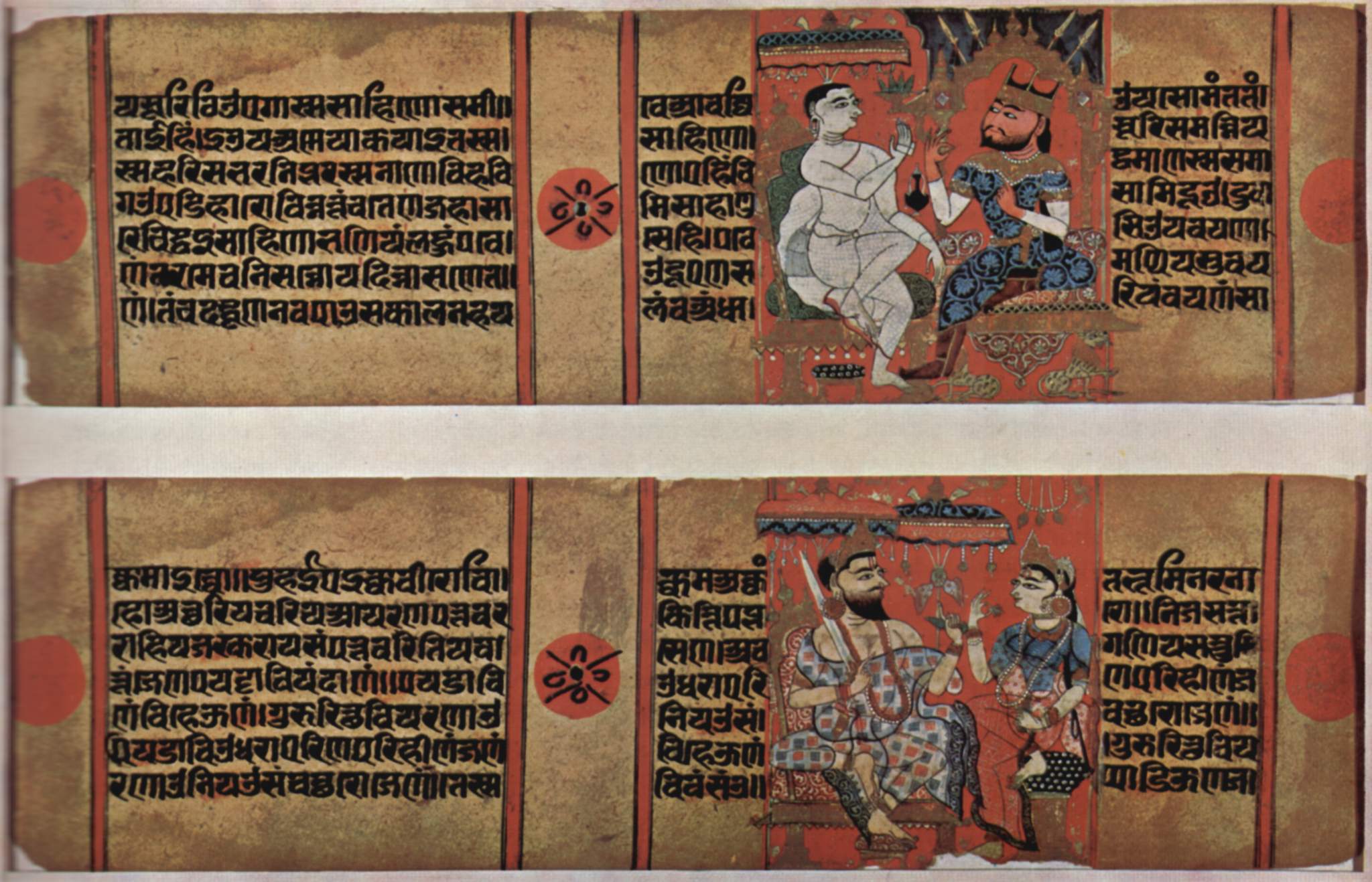
Vikram Samvat (IAST: ''Vikrama Samvat''; abbreviated VS) or Bikram Sambat B.S. and also known as the Vikrami calendar, is a Hindu calendar historically used in the Indian subcontinent. Vikram Samvat is generally 57 years ahead of Gregorian Calendar, except during January to April, when it is ahead by 56 years. Alongside Nepal Sambat, it is one of the two official calendars used in Nepal. In India, it is used in several states. The traditional Vikram Samvat calendar, as used in India, uses lunar months and solar sidereal years. The Nepali Bikram Sambat introduced in 1901 CE, also uses a solar sidereal year. History A number of ancient and medieval inscriptions used the Vikram Samvat. Although it was reportedly named after the legendary king Vikramaditya, the term "Vikrama Samvat" does not appear in the historical record before the 9th century; the same calendar system is found with other names, such as Krita and Malava. In colonial scholarship, the era was believed to be bas ... [...More Info...] [...Related Items...] OR: [Wikipedia] [Google] [Baidu] |
Newar
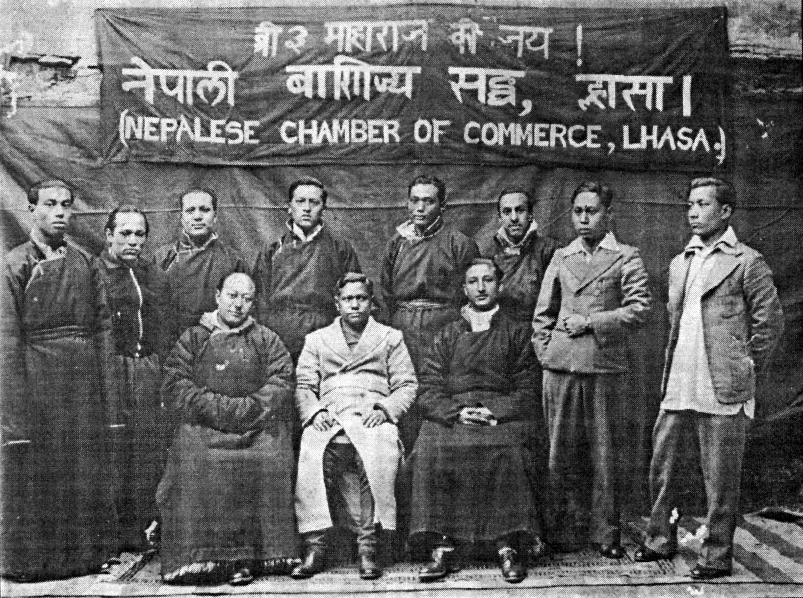
Newar (; new, नेवार, endonym: Newa; new, नेवा, Pracalit script:) or Nepami, are the historical inhabitants of the Kathmandu Valley and its surrounding areas in Nepal and the creators of its historic heritage and civilisation. Page 15. Newars form a linguistic and cultural community of primarily Indo-Aryan and Tibeto-Burman ethnicities following Hinduism and Buddhism with Nepal Bhasa as their common language. Newars have developed a division of labour and a sophisticated urban civilisation not seen elsewhere in the Himalayan foothills. Newars have continued their age-old traditions and practices and pride themselves as the true custodians of the religion, culture and civilisation of Nepal. Newars are known for their contributions to culture, art and literature, trade, agriculture and cuisine. Today, they consistently rank as the most economically and socially advanced community of Nepal, according to the annual Human Development Index published by UNDP. Nep ... [...More Info...] [...Related Items...] OR: [Wikipedia] [Google] [Baidu] |
Newar People
Newar (; new, नेवार, endonym: Newa; new, नेवा, Pracalit script:) or Nepami, are the historical inhabitants of the Kathmandu Valley and its surrounding areas in Nepal and the creators of its historic heritage and civilisation. Page 15. Newars form a linguistic and cultural community of primarily Indo-Aryan and Tibeto-Burman ethnicities following Hinduism and Buddhism with Nepal Bhasa as their common language. Newars have developed a division of labour and a sophisticated urban civilisation not seen elsewhere in the Himalayan foothills. Newars have continued their age-old traditions and practices and pride themselves as the true custodians of the religion, culture and civilisation of Nepal. Newars are known for their contributions to culture, art and literature, trade, agriculture and cuisine. Today, they consistently rank as the most economically and socially advanced community of Nepal, according to the annual Human Development Index published by UNDP. Nepal ... [...More Info...] [...Related Items...] OR: [Wikipedia] [Google] [Baidu] |
Indus Valley Civilization
The Indus Valley Civilisation (IVC), also known as the Indus Civilisation was a Bronze Age civilisation in the northwestern regions of South Asia, lasting from 3300 BCE to 1300 BCE, and in its mature form 2600 BCE to 1900 BCE. Together with ancient Egypt and Mesopotamia, it was one of three early civilisations of the Near East and South Asia, and of the three, the most widespread. Its sites spanned an area from much of Pakistan, to northeast Afghanistan, and northwestern India. The civilisation flourished both in the alluvial plain of the Indus River, which flows through the length of Pakistan, and along a system of perennial monsoon-fed rivers that once coursed in the vicinity of the Ghaggar-Hakra, a seasonal river in northwest India and eastern Pakistan. The term ''Harappan'' is sometimes applied to the Indus civilisation after its type site Harappa, the first to be excavated early in the 20th century in what was then the Punjab province o ... [...More Info...] [...Related Items...] OR: [Wikipedia] [Google] [Baidu] |
Patan, Nepal
Lalitpur Metropolitan City, historically Patan ( sa, पाटन ''Pāṭana'', Nepal bhasa : '' Yela'', ), is the fourth most populous city of Nepal after Kathmandu, Pokhara and Bharatpur, and it is located in the south-central part of Kathmandu Valley, a new metropolitan city of Nepal. Lalitpur is also known as Manigal. It is best known for its rich cultural heritage, particularly its tradition of arts and crafts. It is city renowned for its festival and feast, fine ancient art, and the making of metallic, wood and stone carved statues. At the time of the 2011 Nepal census it had a population of 226,728 in 54,748 individual households. The city received extensive damage from an earthquake on 25 April 2015. Geography Lalitpur is on the elevated tract of land in Kathmandu Valley on the south side of the Bagmati River, which separates it from the city of Kathmandu on the northern and western side. The Karmanasa Khola acts as the boundary on the eastern side. It was develope ... [...More Info...] [...Related Items...] OR: [Wikipedia] [Google] [Baidu] |
Taxila (modern)
Taxila or Takshashila (; sa, तक्षशिला; pi, ; , ; , ) is a city in Punjab, Pakistan. Located in the Taxila Tehsil of Rawalpindi District, it lies approximately northwest of the Islamabad–Rawalpindi metropolitan area and is just south of the Haripur District of Khyber Pakhtunkhwa. In 326 BCE, Alexander the Great gained control of the city without a battle, as it was immediately surrendered to him by Omphis. Old Taxila was an important city of ancient India, situated on the eastern shore of the Indus River—the pivotal junction of the Indian subcontinent and Central Asia;Raymond Allchin, Bridget Allchin''The Rise of Civilization in India and Pakistan''.Cambridge University Press, 1982 p.127 it was founded around 1000 BCE. Some ruins at Taxila date to the time of the Achaemenid Persian Empire, followed successively by the Maurya Empire, the Indo-Greek Kingdom, the Indo-Scythians, and the Kushan Empire. Owing to its strategic location, Taxila has changed ... [...More Info...] [...Related Items...] OR: [Wikipedia] [Google] [Baidu] |
Sirkap
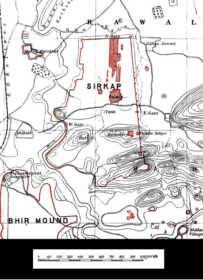
Sirkap (Urdu and pnb, ) is the name of an archaeological site on the bank opposite to the city of Taxila, Punjab, Pakistan. The city of Sirkap was built by the Greco-Bactrian king Demetrius after he invaded modern-day Pakistan around 180 BC. Demetrius founded an Indo-Greek kingdom that was to last until around 10 BC. Sirkap is also said to have been rebuilt by king Menander I. Archaeological excavations The excavation of the old city was carried out under the supervision of Sir John Marshall by Hergrew from 1912–1930. In 1944 and 1945 further parts were excavated by Mortimer Wheeler and his colleagues. Most of the discoveries at Sirkap related to the Indo-Scythian and Indo-Parthian periods (1st-2nd century CE). Overall excavations to the Greek levels have been very limited, and probably much remains hidden underground: in Sirkap, only about one eight of the excavations were made down to the Indo-Greek and early Indo-Scythian levels, and this only in an area far removed f ... [...More Info...] [...Related Items...] OR: [Wikipedia] [Google] [Baidu] |
Mohenjo-daro
Mohenjo-daro (; sd, موئن جو دڙو'', ''meaning 'Mound of the Dead Men';Mohenjo-Daro (archaeological site, Pakistan) on Encyclopedia Britannica website Retrieved 25 November 2019 ur, ) is an archaeological site in the province of , . Built around 2500 BCE, it was the largest settlement of the ancient , and one of the world's earliest major |
Indus Valley
The Indus ( ) is a transboundary river of Asia and a trans-Himalayan river of South and Central Asia. The river rises in mountain springs northeast of Mount Kailash in Western Tibet, flows northwest through the disputed region of Kashmir, Quote: "Kashmir, region of the northwestern Indian subcontinent. It is bounded by the Uygur Autonomous Region of Xinjiang to the northeast and the Tibet Autonomous Region to the east (both parts of China), by the Indian states of Himachal Pradesh and Punjab to the south, by Pakistan to the west, and by Afghanistan to the northwest. The northern and western portions are administered by Pakistan and comprise three areas: Azad Kashmir, Gilgit, and Baltistan, ... The southern and southeastern portions constitute the Indian state of Jammu and Kashmir. The Indian- and Pakistani-administered portions are divided by a "line of control" agreed to in 1972, although neither country recognizes it as an international boundary. In addition, China became ... [...More Info...] [...Related Items...] OR: [Wikipedia] [Google] [Baidu] |


