|
Middleton Top
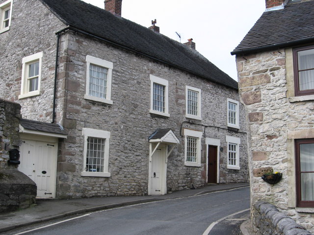
Middleton or Middleton-by-Wirksworth is an upland village and civil parish lying approximately one mile NNW of Wirksworth, Derbyshire, England. Middleton was, in 1086, a berewick (a supporting farm) of the town and manor of Wirksworth. Middleton was formerly known for its lead mines and high quality limestone quarries, including the underground quarry site at Middleton Mine. The Middleton Mine networks underground for approximately with tunnels on three different levels running under Middleton Moor to the Hopton Wood quarry works at the other side of the hill below Ryder Point Works’. Part of the tunnel collapsed in the 1980s leaving a noticeable depression in the ground above on the eastern side of Middleton Moor. The population of the parish as taken at the 2011 Census was 775. The attraction towards Middleton becoming a village had much to do with the fact that it is one of the few Derbyshire villages in the limestone area that has a ‘perched’ water table due to the im ... [...More Info...] [...Related Items...] OR: [Wikipedia] [Google] [Baidu] |
High Peak Trail
The High Peak Trail is a trail for walkers, cyclists and horse riders in the Peak District of England. Running from Dowlow , near Buxton, to High Peak Junction, Cromford , it follows the trackbed of the former Cromford and High Peak Railway, which was completed in 1831 to carry minerals and goods between the Cromford Canal wharf at High Peak Junction and the Peak Forest Canal at Whaley Bridge. Closure of the line occurred during the Beeching era, with the first section of the line closing in 1963 (i.e. the Middleton Incline) followed by full closure in 1967. In 1971 the Peak Park Planning Board and Derbyshire County Council bought the largest part of the trackbed and, in partnership with the Countryside Commission, adapted it for its current leisure use. The trail has a crushed limestone surface which makes it ideal for all users, including wheelchair use, assisted by level access onto the trail at various points along its route. The High Peak Trail is now a national ... [...More Info...] [...Related Items...] OR: [Wikipedia] [Google] [Baidu] |
Middleton Top Engine House
Middleton may refer to: People *Middleton (name), list of notable people with surname of Middleton Places Australia *Middleton, Queensland *Middleton, South Australia *Middleton, Tasmania, on the D'Entrecasteaux Channel *Middleton Beach, Western Australia *Middleton Reef, Tasman Sea Canada *Middleton, Nova Scotia * Middleton, Ontario Ireland *Midleton, County Cork New Zealand * Middleton, New Zealand, a suburb of Christchurch * Lake Middleton, a small lake in the South Island of New Zealand South Africa * Middleton, Eastern Cape, a hamlet United Kingdom England ;''Buckinghamshire'' *Middleton, Milton Keynes ;''County Durham'' * Middleton, Hartlepool *Middleton One Row *Middleton St George *Middleton-in-Teesdale ;''Cumbria'' *Middleton, Cumbria ;''Derbyshire'' *Middleton-by-Wirksworth **Middleton Incline, a former railway incline **Middleton railway station (Derbyshire) *Middleton-by-Youlgreave ;''Dorset'' *Middleton, Dorset ;''Essex'' *Middleton, Essex ;''Hampshire'' ... [...More Info...] [...Related Items...] OR: [Wikipedia] [Google] [Baidu] |
Towns And Villages Of The Peak District
A town is a human settlement. Towns are generally larger than villages and smaller than cities, though the criteria to distinguish between them vary considerably in different parts of the world. Origin and use The word "town" shares an origin with the German word , the Dutch word , and the Old Norse . The original Proto-Germanic word, *''tūnan'', is thought to be an early borrowing from Proto-Celtic *''dūnom'' (cf. Old Irish , Welsh ). The original sense of the word in both Germanic and Celtic was that of a fortress or an enclosure. Cognates of ''town'' in many modern Germanic languages designate a fence or a hedge. In English and Dutch, the meaning of the word took on the sense of the space which these fences enclosed, and through which a track must run. In England, a town was a small community that could not afford or was not allowed to build walls or other larger fortifications, and built a palisade or stockade instead. In the Netherlands, this space was a garden, m ... [...More Info...] [...Related Items...] OR: [Wikipedia] [Google] [Baidu] |
Villages In Derbyshire
A village is a clustered human settlement or community, larger than a hamlet but smaller than a town (although the word is often used to describe both hamlets and smaller towns), with a population typically ranging from a few hundred to a few thousand. Though villages are often located in rural areas, the term urban village is also applied to certain urban neighborhoods. Villages are normally permanent, with fixed dwellings; however, transient villages can occur. Further, the dwellings of a village are fairly close to one another, not scattered broadly over the landscape, as a dispersed settlement. In the past, villages were a usual form of community for societies that practice subsistence agriculture, and also for some non-agricultural societies. In Great Britain, a hamlet earned the right to be called a village when it built a church. [...More Info...] [...Related Items...] OR: [Wikipedia] [Google] [Baidu] |
Listed Buildings In Middleton-by-Wirksworth
Middleton-by-Wirksworth is a civil parish in the Derbyshire Dales district of Derbyshire, England. The parish contains six listed buildings that are recorded in the National Heritage List for England The National Heritage List for England (NHLE) is England's official database of protected heritage assets. It includes details of all English listed buildings, scheduled monuments, register of historic parks and gardens, protected shipwrecks, an .... All the listed buildings are designated at Grade II, the lowest of the three grades, which is applied to "buildings of national importance and special interest". The parish contains the village of Middleton-by-Wirksworth and the surrounding area, and the listed buildings consist of houses, cottages and associated structures, a milestone and a church. __NOTOC__ Buildings References Citations Sources * * * * * * * * {{DEFAULTSORT:Middleton-by-Wirksworth Lists of listed buildings in Derbyshire ... [...More Info...] [...Related Items...] OR: [Wikipedia] [Google] [Baidu] |
Via Gellia
The A5012 road is a main road in the south of the English county of Derbyshire. Route Around in length, it connects two primary north–south routes; the A6 at Cromford and the A515 between Buxton and Ashbourne. It passes through Pikehall and Grangemill and alongside Ible. Via Gellia The eastern part (Grangemill to Cromford, set in a deep valley) is known as the Via Gellia – a steep-sided wooded dry valley and road. It is probably named after (or by) Philip Eyre Gell in a mock-Latin style; he was responsible for building the road through the valley, the name being a link to the Gell family's claim of Roman descent. They held lead-mining interests in and around Wirksworth. At its lower (eastern) end is the village of Cromford and its Georgian mill, built by inventor and entrepreneur Richard Arkwright. At the western end is the hamlet of Grangemill. The road appears to have been constructed about 1790 to connect the Gells' extensive lead-mining interests around ... [...More Info...] [...Related Items...] OR: [Wikipedia] [Google] [Baidu] |
B5023 Road
B roads are numbered routes in Great Britain of lesser importance than A roads. See the article Great Britain road numbering scheme The Great Britain road numbering scheme is a numbering scheme used to classify and identify all roads in Great Britain. Each road is given a single letter (which represents the road's category) and a subsequent number (between 1 and 4 digits). ... for the rationale behind the numbers allocated. Zone 5 (3 digits) Zone 5 (4 digits) References {{DEFAULTSORT:B Roads In Zone 5 Of The Great Britain Numbering Scheme 5 5 ... [...More Info...] [...Related Items...] OR: [Wikipedia] [Google] [Baidu] |
Ecclesbourne Valley Railway
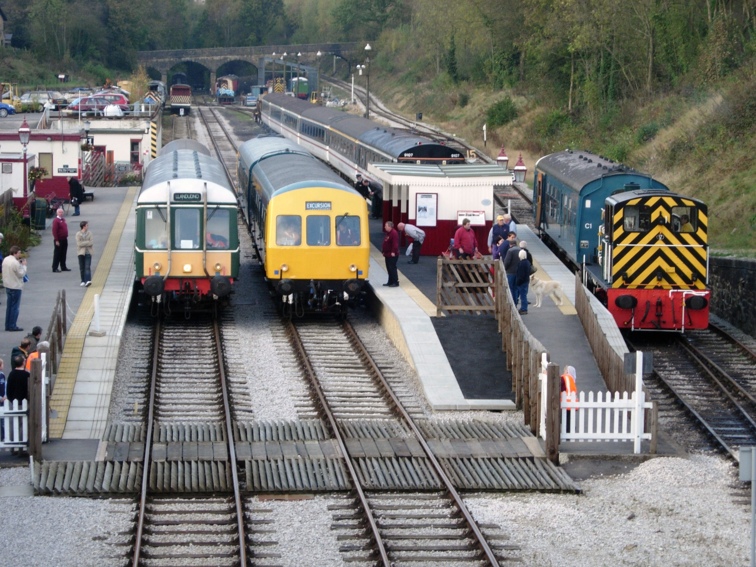
The Ecclesbourne Valley Railway is a long heritage railway in Derbyshire. The headquarters of the railway centre on Wirksworth station, and services operate in both directions between Wirksworth and Duffield and from Wirksworth to Ravenstor. Passengers are able to board and alight heritage services at Duffield where a station platform (3) has been re-constructed. Heritage services are timed to connect with East Midlands Railway Nottingham – Derby – Matlock service at the adjacent Duffield Network Rail platforms and therefore it is now possible for passengers to travel to and from Wirksworth by train from anywhere on the national network. The Ecclesbourne Valley Railway is named after the River Ecclesbourne and the track follows the river from its source to its confluence with the River Derwent at the Derbyshire village of Duffield. Despite being a branch in itself, there is also a separate branch operating from Platform 3 at Wirksworth Station up a 1 in 27 ( ... [...More Info...] [...Related Items...] OR: [Wikipedia] [Google] [Baidu] |
Ripley, Derbyshire
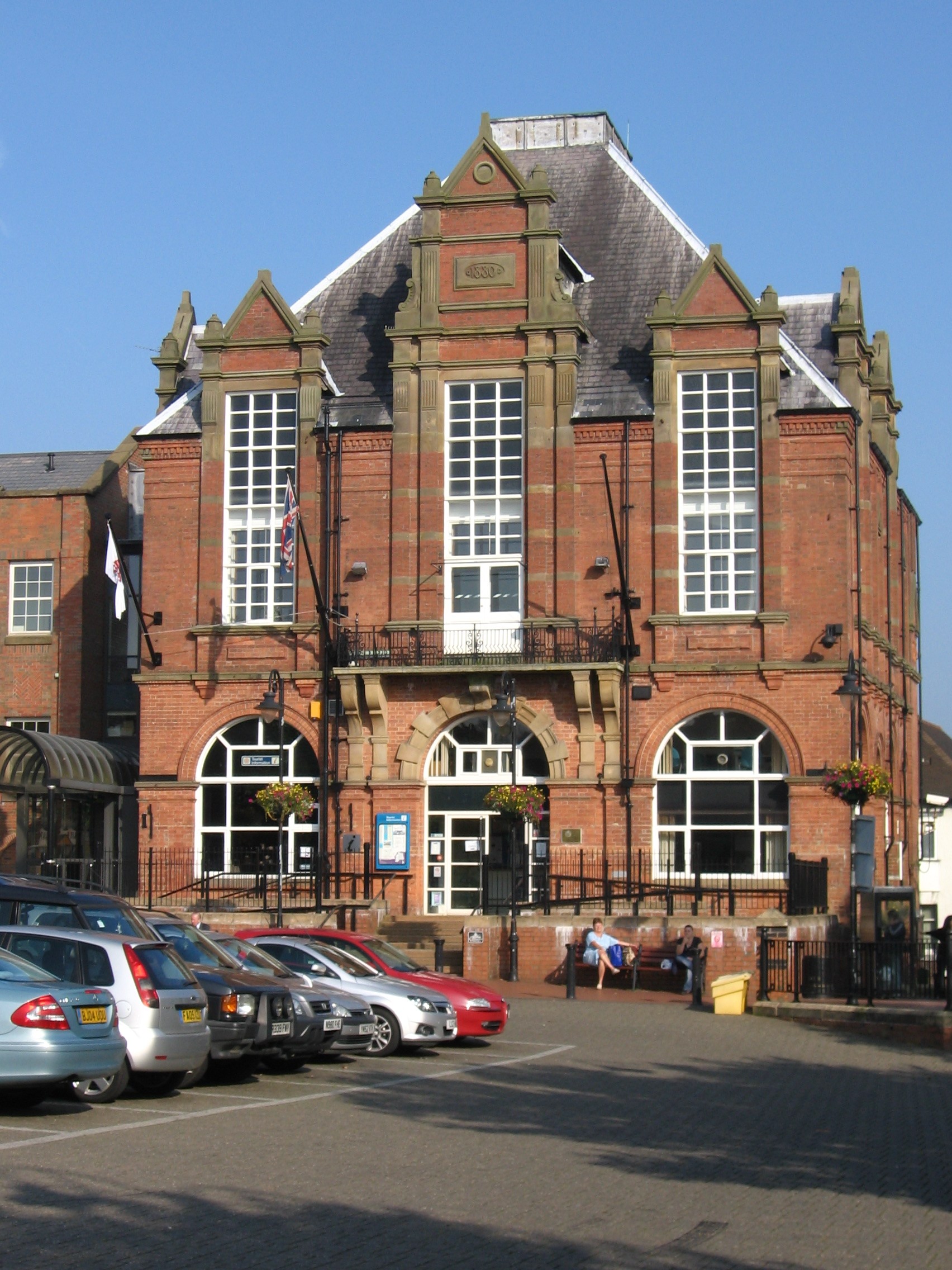
Ripley is a town in the Amber Valley borough of Derbyshire, England. History Little information remains as to when Ripley was founded, but it appears in the 1086 Domesday Book, when it was held by a man called Levenot. In 1251 Henry III granted a charter for "one market one day a week, on Wednesday, at hemanor of Ryppeleg: and one fair each year lasting three days, on the Vigil Day and Morrow of St Helen". Ripley Fair antedates Nottingham Goose Fair. The market day was later altered to Saturdays, with an extra market on Fridays. Medieval Ripley was just a few stone cottages and farms around a village green, with a few dwellings further afield. Corn was ground at a mill owned by the Abbot of Darley. In 1291, Ripley had "two water-mills with fish ponds". The Ripley area has been industrialised since the late 18th century. One of the earliest firms to take advantage of local mineral resources was the Butterley Company. It was formed in 1790 by Benjamin Outram and Francis Beresf ... [...More Info...] [...Related Items...] OR: [Wikipedia] [Google] [Baidu] |
Butterley Company
The Butterley Company was an English manufacturing firm founded as Benjamin Outram and Company in 1790. Its subsidiaries existed until 2009. Origins This area of Derbyshire had been known for its outcrops of iron ore which had been exploited at least since the Middle Ages. After the Norman Conquest, nearby Duffield Frith was the property of the de Ferrers family who were iron masters in Normandy. In 1793, William Jessop, with the assistance of Benjamin Outram, constructed the Cromford Canal to connect Pinxton and Cromford with the Erewash Canal. In digging Butterley Tunnel for the Cromford Canal, coal and iron were discovered. Fortuitously, Butterley Hall fell vacant and in 1790 Outram, with the financial assistance of Francis Beresford, bought it and its estate. The following year Outram and Beresford were joined by Jessop and John, the grandson of Ichabod Wright, a wealthy Nottingham banker who was betrothed to Beresford's daughter and who owned the neighbouring Butter ... [...More Info...] [...Related Items...] OR: [Wikipedia] [Google] [Baidu] |
Middleton Incline
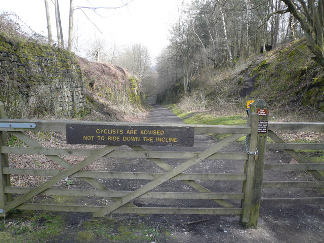
Middleton Incline is a former railway incline in Middleton, Derbyshire. Historically on the Cromford and High Peak Railway. The incline was one of six inclines along the entire line from Cromford to Whaley Bridge in High Peak, Derbyshire. The incline was opened in 1830 and was in use until 1967 when the entire line from Whaley Bridge to Middleton was closed. With the section to Cromford closing in 1963. Today, the incline is used as part of the High Peak Trail The High Peak Trail is a trail for walkers, cyclists and horse riders in the Peak District of England. Running from Dowlow , near Buxton, to High Peak Junction, Cromford , it follows the trackbed of the former Cromford and High Peak Rai .... Middleton Pasture Incline was also 1 in 9 gradient. Like the other ones along the former railway. References Railway inclines in the United Kingdom {{UK-rail-transport-stub ... [...More Info...] [...Related Items...] OR: [Wikipedia] [Google] [Baidu] |
High Peak Junction
High Peak Junction, near Cromford, Derbyshire, England, is the name now used to describe the site where the former Cromford and High Peak Railway (C&HPR), whose workshops were located here, meets the Cromford Canal. It lies within Derwent Valley Mills World Heritage Site, designated in 2001, and today marks the southern end of the High Peak Trail, a trail for walkers, cyclists and horse riders. The Derwent Valley Heritage Way also passes this point, and popular walks lead from here along the towpath in both directions. History as part of the High Peak Railway As first built, the C&HPR – built to standard gauge proportions after initial plans for it to be constructed as a canal route – originally terminated at this location, named in the original Act as "beside the Cromford Canal, at or near to Cromford", where freight was transferred between canal barges and railway wagons. The large wharf-side transit shed, with awning over the canal, still stands on the west b ... [...More Info...] [...Related Items...] OR: [Wikipedia] [Google] [Baidu] |
.jpg)

