|
Middle Norrland
Middle Norrland ( sv, Mellersta Norrland) is a National Area ( sv, Riksområde) of Sweden. The National Areas are a part of the Nomenclature of Territorial Units for Statistics (NUTS) of Sweden. Geography The region is situated in the north of the county, partly in the area of Sápmi. It is the second for extension and the lesser populated. It borders with Norway and the ''riksområden'' of Upper Norrland and North Middle Sweden. The most populous cities are Sundsvall, Östersund, Örnsköldsvik and Härnösand. Subdivision Middle Norrland includes 2 counties: * Jämtland (seat: Östersund) * Västernorrland (seat: Härnösand) Economy The Gross domestic product (GDP) of the region was 15.1 billion € in 2018, accounting for 3.2% of Swedish economic output. GDP per capita adjusted for purchasing power was 29,700 € or 105% of the EU27 average in the same year. The GDP per employee was 102% of the EU average. See also *Sápmi *Norrland * Riksområden *NUTS of Sweden * IS ... [...More Info...] [...Related Items...] OR: [Wikipedia] [Google] [Baidu] |
National Areas Of Sweden
In the NUTS (Nomenclature of Territorial Units for Statistics) codes of Sweden (SE), the three levels are: }) , align="right" , 3 , - ! NUTS 2 , National Areas ( sv, Riksområden) , align="right" , 8 , - ! NUTS 3 , Counties ( sv, Län) , align="right" , 21 NUTS codes SE SWEDEN (SVERIGE) :SE1 EAST SWEDEN (ÖSTRA SVERIGE) ::SE11 Stockholm (Stockholm) :::SE110 Stockholm County (Stockholms län) ::SE12 East Middle Sweden (Östra Mellansverige) :::SE121 Uppsala County (Uppsala län) :::SE122 Södermanland County (Södermanlands län) :::SE123 Östergötland County (Östergötlands län) :::SE124 Örebro County (Örebro län) :::SE125 Västmanland County (Västmanlands län) :SE2 SOUTH SWEDEN (SÖDRA SVERIGE) ::SE21 Småland and the islands (Småland med öarna) :::SE211 Jönköping County (Jönköpings län) :::SE212 Kronoberg County (Kronobergs län) :::SE213 Kalmar County (Kalmar län) :::SE214 Gotland County (Gotlands län) ::SE22 South Sweden (Sydsverige) :::SE221 Bleki ... [...More Info...] [...Related Items...] OR: [Wikipedia] [Google] [Baidu] |
Härnösand
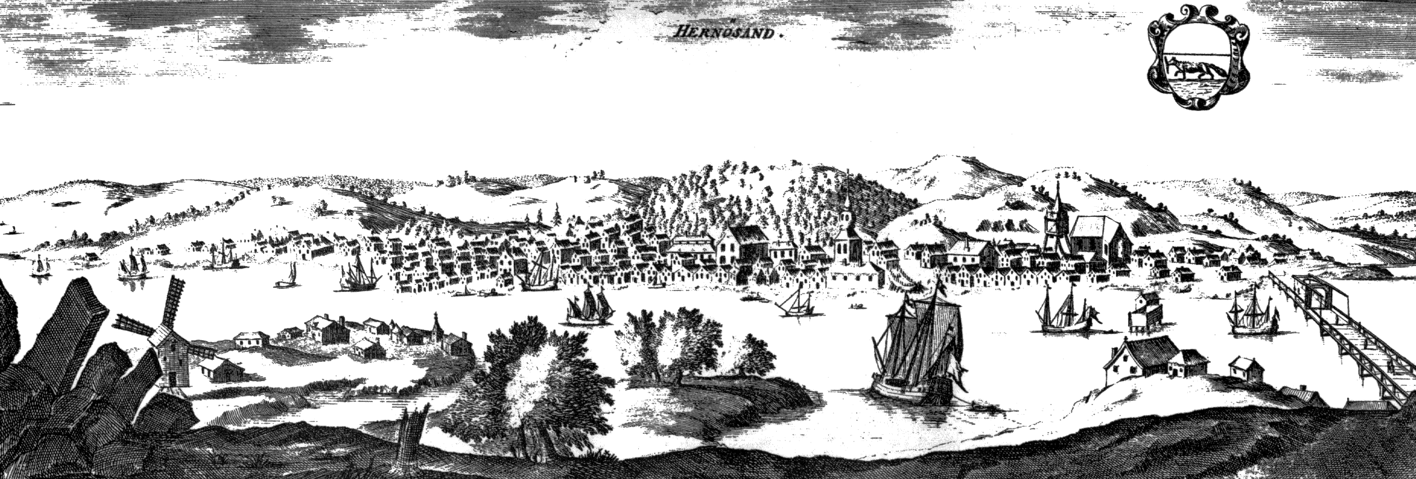
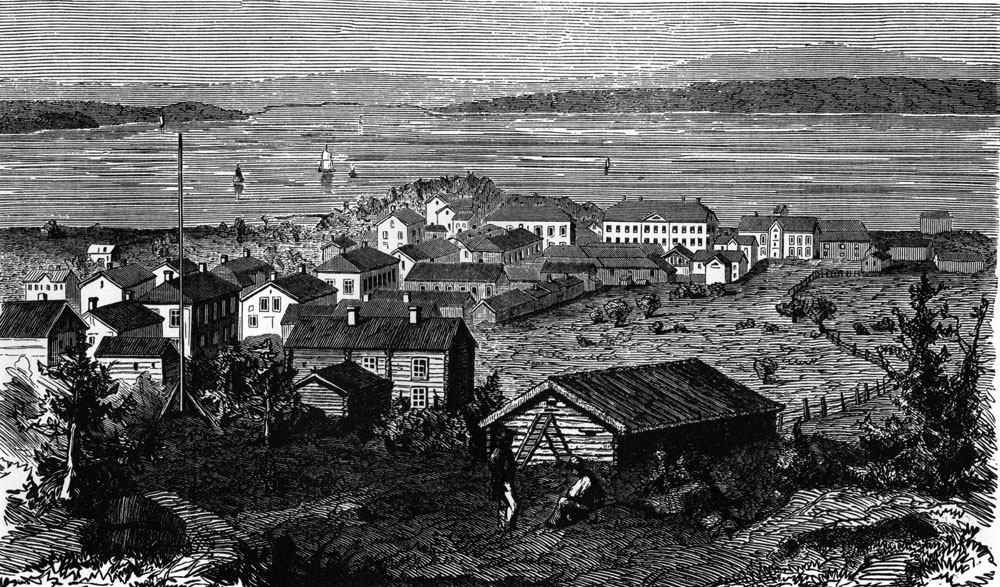
Härnösand () is a locality and the seat of Härnösand Municipality in Västernorrland County, Sweden with 17,556 inhabitants in 2010. It is called "the gate to the High Coast" because of the world heritage landscape just a few miles north of Härnösand. Härnösand is the seat of the Diocese of Härnösand. History On 10 December 1885, Härnösand became the first town in Sweden with electric street lighting, following the Gådeå power station being taken into use. Education Härnösand is the seat of The National Agency for Special Needs Education and Schools (''Specialpedagogiska skolmyndigheten''). The Swedish International Development Cooperation Agency (Sida) operates its training programme Sida Partnership Forum in Härnösand. Industry One of the biggest employers in Härnösand is the cable-TV and Cable internet service provider Com Hem. Sports The women's team of the bandy club Härnösands AIK plays in the highest division and the men's team has don ... [...More Info...] [...Related Items...] OR: [Wikipedia] [Google] [Baidu] |
Subdivisions Of Norden
The subdivisions of the Nordic countries are similar given the countries' shared culture and history. Denmark *Denmark proper **5 regions () **98 municipalities () *2 autonomous insular overseas dependencies **Faroe Islands ***6 regions ***30 municipalities **Greenland ***5 municipalities ***1 unincorporated national park Finland *Finland **19 regions (, ) ***Ă…land ***70 sub-regions (, ) ****310 municipalities (, ) Iceland *Iceland **6 constituencies (), electoral **8 regions (), statistical **69 municipalities (), administrative Norway *Norway proper **11 counties () **356 municipalities () * overseas dependencies **2 unincorporated overseas dependencies **3 unintegrated overseas dependencies Sweden *Sweden **21 counties () **290 municipalities A municipality is usually a single administrative division having corporate status and powers of self-government or jurisdiction as granted by national and regional laws to which it is subordinate. The term ''municipality'' ... [...More Info...] [...Related Items...] OR: [Wikipedia] [Google] [Baidu] |
Local Administrative Unit
Nomenclature of Territorial Units for Statistics or NUTS (french: Nomenclature des unités territoriales statistiques) is a geocode standard for referencing the subdivisions of countries for statistical purposes. The standard, adopted in 2003, is developed and regulated by the European Union, and thus only covers the member states of the EU in detail. The Nomenclature of Territorial Units for Statistics is instrumental in the European Union's Structural Funds and Cohesion Fund delivery mechanisms and for locating the area where goods and services subject to European public procurement legislation are to be delivered. For each EU member country, a hierarchy of three NUTS levels is established by Eurostat in agreement with each member state; the subdivisions in some levels do not necessarily correspond to administrative divisions within the country. A NUTS code begins with a two-letter code referencing the country, as abbreviated in the European Union's Interinstitutional Style G ... [...More Info...] [...Related Items...] OR: [Wikipedia] [Google] [Baidu] |
NUTS Of Sweden
In the NUTS (Nomenclature of Territorial Units for Statistics) codes of Sweden (SE), the three levels are: }) , align="right" , 3 , - ! NUTS 2 , National Areas ( sv, Riksområden) , align="right" , 8 , - ! NUTS 3 , Counties ( sv, Län) , align="right" , 21 NUTS codes SE SWEDEN (SVERIGE) :SE1 EAST SWEDEN (ÖSTRA SVERIGE) ::SE11 Stockholm (Stockholm) :::SE110 Stockholm County (Stockholms län) ::SE12 East Middle Sweden (Östra Mellansverige) :::SE121 Uppsala County (Uppsala län) :::SE122 Södermanland County (Södermanlands län) :::SE123 Östergötland County (Östergötlands län) :::SE124 Örebro County (Örebro län) :::SE125 Västmanland County (Västmanlands län) :SE2 SOUTH SWEDEN (SÖDRA SVERIGE) ::SE21 Småland and the islands (Småland med öarna) :::SE211 Jönköping County (Jönköpings län) :::SE212 Kronoberg County (Kronobergs län) :::SE213 Kalmar County (Kalmar län) :::SE214 Gotland County (Gotlands län) ::SE22 South Sweden (Sydsverige) :::SE221 Bleki ... [...More Info...] [...Related Items...] OR: [Wikipedia] [Google] [Baidu] |
Norrland
Norrland (, "Northland", originally ''Norrlanden'' or "the Northlands") is the northernmost, largest and least populated of the three traditional lands of Sweden, consisting of nine provinces. Although Norrland does not serve any administrative purposes, it continues to exist as a historical, cultural, and geographic region; it is often referred to in everyday language, e.g., in weather forecasts. Several related Norrland dialects form a distinct subset of dialects of the Swedish language separate from those to its south. Norrland consists of the majority of the Swedish landmass at about 60% of the land area, but only has about 12% of the country's population. Its largest city is Umeå, while the other four county seats are Gävle, Sundsvall, Östersund and Luleå. The largest non-capitals are Skellefteå and Örnsköldsvik while Kiruna is the largest town of the vast Lapland province in the far north. Sweden's highest mountain Kebnekaise and deepest lake of Hornavan are ... [...More Info...] [...Related Items...] OR: [Wikipedia] [Google] [Baidu] |
Västernorrland County
Västernorrland County ( sv, Västernorrlands län) is a county (''län'') in the north of Sweden. It is bordered by the counties of Gävleborg, Jämtland, Västerbotten and the Gulf of Bothnia. The name ''Västernorrland'' means "Western Norrland", as it was in the western part of the original Norrland (northern Sweden and northern Finland). Province ''For History, Geography and Culture, see: Ångermanland or Medelpad'' Västernorrland County covers approximately the historical provinces of Ångermanland (Angermannia) and Medelpad. Administration The main aim of the county administrative board – a government agency headed by a governor – is to fulfil the goals set out in national politics by the Riksdag and the government, to coordinate the interests of the county, to promote the development of the county, to establish regional goals and safeguard the due process of law in the handling of each case. See List of Västernorrland governors. Politics The county counc ... [...More Info...] [...Related Items...] OR: [Wikipedia] [Google] [Baidu] |
Jämtland County
Jämtland County ( sv, Jämtlands län, ) is a county or '' län'' in the middle of Sweden consisting of the provinces of Jämtland and Härjedalen, along with minor parts of Hälsingland and Ångermanland, plus two small uninhabited strips of Lapland and Dalarna. Jämtland County constitutes 12 percent of Sweden's total area, and is the third largest county in the country. The county capital is Östersund and the county governor, appointed by the Swedish government, is Jöran Hägglund, who leads the administrative board. Jämtland County borders the counties of Dalarna, Gävleborg, Västernorrland, and Västerbotten. It also shares a border with the Norwegian county of Trøndelag. The county was established in 1810 and its foundation has both domestic and foreign causes. Upon formation it only consisted of the provinces of Jämtland and Härjedalen, which is why the coat of arms is a shield parted per fess with their provincial arms. Being sparsely populated, the land ar ... [...More Info...] [...Related Items...] OR: [Wikipedia] [Google] [Baidu] |
Jämtland Län Vapen
Jämtland (; no, Jemtland or , ; Jamtish: ''Jamtlann''; la, Iemptia) is a historical province () in the centre of Sweden in northern Europe. It borders Härjedalen and Medelpad to the south, Ångermanland to the east, Lapland to the north and Trøndelag and Norway to the west. Jämtland covers an area of 34,009 square kilometres, 8.3% of Sweden's total area and is the second largest province in Sweden. It has a population of 115,331, the majority of whom live in , the area surrounding lake Storsjön. Östersund is Jämtland's only city and is the 24th most populous city in Sweden. The historical province is one of the least densely populated. Jämtland was originally an autonomous republic,Ekerwald, Carl-Göran (2004). ''Jämtarnas historia'' (in Swedish), 124. "Svaret är att Jämtland före 1178 var ett självständigt bondesamfund, "dei vart verande ein nasjon för seg sjöl", för att nu citera Halfdan Koht.. Jämtland var en bonderepublik.." its own nation with it ... [...More Info...] [...Related Items...] OR: [Wikipedia] [Google] [Baidu] |
Counties Of Sweden
The counties of Sweden (Swedish: ''Sveriges län'') are the top-level geographic subdivisions of Sweden. Sweden is today divided into 21 counties; however, the number of counties has varied over time, due to territorial gains/losses and to divisions and/or mergers of existing counties. This level of administrative unit was first established in the 1634 Instrument of Government on Lord Chancellor Count Axel Oxenstierna's initiative, and superseded the historical provinces of Sweden ( sv, landskap) in order to introduce a more efficient administration of the realm. At that time, they were what the translation of ''län'' into English literally means: fiefdoms. The county borders often follow the provincial borders, but the Crown often chose to make slight relocations to suit its purposes. In every county there is a county administrative board (''länsstyrelse'') headed by a governor ('' landshövding''), appointed by the government, as well as a separate regional council ('' ... [...More Info...] [...Related Items...] OR: [Wikipedia] [Google] [Baidu] |
Örnsköldsvik
Örnsköldsvik (, ) is a locality and the seat of Örnsköldsvik Municipality in Västernorrland County, Sweden, with 32,953 inhabitants in 2017. Its natural harbour and archipelago is in the Gulf of Bothnia and the northern boundaries of the High Coast area. It is well known as an exporter of pulp and paper products and heavy machinery goods. It has a strong environmental record and is the "testbed" for ethanol-powered cars. History Traces of human activity in the Örnsköldvik area date back to the Nordic Bronze Age and there is a reconstructed Archaeology of Northern Europe#Roman Iron Age, Roman Iron Age village called Gene fornby that is a popular tourist attraction just outside the town. However, Örnsköldsvik itself is a relatively young city; it was founded as a ''köping'' (a Swedish market town) in 1842 and became a city in 1894. Its name originates with the surname of List of governors of Västernorrland County, governor of Västernorrland County from 1762–9, Per ... [...More Info...] [...Related Items...] OR: [Wikipedia] [Google] [Baidu] |


