|
Melka Chireti, Ethiopia
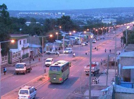
Melka Chireti is a town in southeastern Ethiopia. Located in the Afder Zone of the Somali Region, this town has a latitude and longitude of with an altitude of 321 meters above sea level. Overview The NGO Médecins Sans Frontières operates a clinic in Melka Chireti. Demographics This woreda is primarily inhabited by the Somali. Based on figures from the Central Statistical Agency The Central Statistical Agency (CSA; Amharic: ማዕከላዊ ስታቲስቲክስ ኤጀንሲ) is an agency of the government of Ethiopia designated to provide all surveys and censuses for that country used to monitor economic and social growth ... in 2005, Melka Chireti has an estimated total population of 8,903, of whom 4,841 were men and 4,062 were women. The 1997 national census reported a total population for this town of 5,967, of whom 3,198 were men and 2,769 were women. The predominant ethnic group reported in Melka Chireti was the Somali (99.64% of the population). [...More Info...] [...Related Items...] OR: [Wikipedia] [Google] [Baidu] |
Ethiopia
Ethiopia, , om, Itiyoophiyaa, so, Itoobiya, ti, ኢትዮጵያ, Ítiyop'iya, aa, Itiyoppiya officially the Federal Democratic Republic of Ethiopia, is a landlocked country in the Horn of Africa. It shares borders with Eritrea to the north, Djibouti to the northeast, Somalia to the east and northeast, Kenya to the south, South Sudan to the west, and Sudan to the northwest. Ethiopia has a total area of . As of 2022, it is home to around 113.5 million inhabitants, making it the 13th-most populous country in the world and the 2nd-most populous in Africa after Nigeria. The national capital and largest city, Addis Ababa, lies several kilometres west of the East African Rift that splits the country into the African and Somali tectonic plates. Anatomically modern humans emerged from modern-day Ethiopia and set out to the Near East and elsewhere in the Middle Paleolithic period. Southwestern Ethiopia has been proposed as a possible homeland of the Afroasiatic langua ... [...More Info...] [...Related Items...] OR: [Wikipedia] [Google] [Baidu] |
Afder Zone
Afder ( so, Afdheer) is one of the eleven Zones of the Somali Region of Ethiopia. Afder is bordered on the southwest by the Ganale Dorya River which separates it from the Liben Zone, on the west by the Oromia Region, on the north by Nogob Zone, on the northeast by Shabele Zone, and on south by the Somalia federal states of Hirshabelle, South West and Jubaland. The administrative center of Afder is Hargele; other towns in Afder include West Imey, and Cherti Demographics Based on the 2007 census conducted by the Central Statistical Agency of Ethiopia (CSA), the zone had a total population of 570,629, of whom 325,764 were men and 244,865 women. While 45,763 or 8.02% were urban inhabitants, a further 316,032 or 55.38% were pastoralists. The Somali language was spoken as a first language by 88.21%; the remaining 11.79% spoke all other primary languages reported. 100% of the population said they were Muslim. The 1997 national census reported a total population for the zone of 35 ... [...More Info...] [...Related Items...] OR: [Wikipedia] [Google] [Baidu] |
Somali Region
The Somali Region ( so, Deegaanka Soomaalida, am, ሱማሌ ክልል, Sumalē Kilil, ar, المنطقة الصومالية), also known as Soomaali Galbeed (''Western Somalia'') and officially the Somali Regional State, is a regional state in eastern Ethiopia. Its territory is the largest after Oromia Region. The regional state borders the Ethiopian regions of Afar and Oromia and the chartered city Dire Dawa (Dire Dhawa) to the west, as well as Djibouti to the north, Somaliland to the northeast, Somalia to the south; and Kenya to the southwest. Jijiga is the capital of the Somali Region. The capital was formerly Gode, until Jijiga became the capital in 1995 on account of political considerations. The Somali regional government is composed of the executive branch, led by the President; the legislative branch, which comprises the State Council; and the judicial branch, which is led by the State Supreme Court. Overview The Somali Region formed a large part of the pre-19 ... [...More Info...] [...Related Items...] OR: [Wikipedia] [Google] [Baidu] |
Médecins Sans Frontières
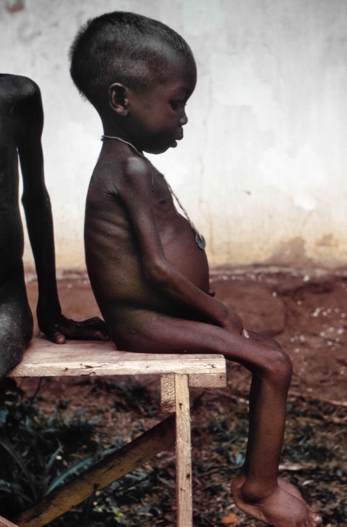
(MSF; pronounced ), also known as Doctors Without Borders, is a humanitarian medical non-governmental organisation (NGO) or charity of French origin known for its projects in conflict zones and in countries affected by endemic diseases. Main areas of work include diabetes, drug-resistant infections, HIV/AIDS, hepatitis C, tropical and neglected diseases, tuberculosis, vaccines and COVID-19. In 2019, the charity was active in 70 countries with over 35,000 personnel; mostly local doctors, nurses and other medical professionals, logistical experts, water and sanitation engineers, and administrators. Private donors provide about 90% of the organisation's funding, while corporate donations provide the rest, giving MSF an annual budget of approximately US$1.63 billion. MSF was founded in 1971, in the aftermath of the Biafran famine of the Nigerian Civil War, by a small group of French doctors and journalists who sought to expand accessibility to medical care across nation ... [...More Info...] [...Related Items...] OR: [Wikipedia] [Google] [Baidu] |
Central Statistical Agency (Ethiopia)
The Central Statistical Agency (CSA; Amharic: ማዕከላዊ ስታቲስቲክስ ኤጀንሲ) is an agency of the government of Ethiopia designated to provide all surveys and censuses for that country used to monitor economic and social growth, as well as to act as an official training center in that field. It is part of the Ethiopian Ministry of Finance and Economic Development. The Director General of the CSA is Samia Zekaria. Before 9 March 1989 the CSA was known as the Central Statistical Office (CSO). The CSA has 25 branch offices. Besides the capital city of Addis Ababa, the cities and towns with offices are: Ambo, Arba Minch, chiro, Asayita, Assosa, Awasa, Bahir Dar, Debre Berhan, Dessie, Dire Dawa, Gambela, Goba, Gondar, Harar, Hosaena, Inda Selassie, Jijiga, Jimma, Mek'ele, Mizan Teferi, Adama, Negele Borana, Nekemte, and Sodo. National censuses of the population and housing have been taken in 1984, 1994, and 2007. Information from the 1994 and 2007 censuses ar ... [...More Info...] [...Related Items...] OR: [Wikipedia] [Google] [Baidu] |
Somali People
The Somalis ( so, Soomaalida 𐒈𐒝𐒑𐒛𐒐𐒘𐒆𐒖, ar, صوماليون) are an ethnic group native to the Horn of Africa who share a common ancestry, culture and history. The Lowland East Cushitic Somali language is the shared mother tongue of ethnic Somalis, which is part of the Cushitic branch of the Afroasiatic language family, and are predominantly Sunni Muslim.Mohamed Diriye Abdullahi, ''Culture and Customs of Somalia'', (Greenwood Press: 2001), p.1 They form one of the largest ethnic groups on the African continent, and cover one of the most expansive landmasses by a single ethnic group in Africa. According to most scholars, the ancient Land of Punt and its native inhabitants formed part of the ethnogenesis of the Somali people. An ancient historical kingdom where a great portion of their cultural traditions and ancestry has been said to derive from.Egypt: 3000 Years of Civilization Brought to Life By Christine El MahdyAncient perspectives on Egypt By Ro ... [...More Info...] [...Related Items...] OR: [Wikipedia] [Google] [Baidu] |
Chereti (woreda)
Chereti or Weyib is one of the Districts of Ethiopia, woredas in the Somali Region of Ethiopia, named after its major town, Melka Chireti, Ethiopia, Melka Chireti. Part of the Afder Zone, Chereti is bordered on the southwest by the Ganale Dorya River which separates it from the Liben Zone, on the west by Goro Bekeksa, on the north by Elekere, on the east by Afder (woreda), Afder, and on the southeast by Dolobay. Overview The altitude of this woreda ranges from 750 to 1700 meters above sea level. Other rivers in Chereti include the Mena River, Mena and the Weyib River, Weyib. , Chereti has 62 kilometers of all-weather gravel road and 440 kilometers of community roads; in which around 8.69% of the total population has access to drinking water. Flooding was reported in Chereti in May 2006, which destroyed around 9 villages and displaced more than 870 households. More than 4,500 shoats were also reported drowned by the flooding. Major towns in Chereti include:- Hara-arba, Habal-allan, ... [...More Info...] [...Related Items...] OR: [Wikipedia] [Google] [Baidu] |

