|
Marsabit
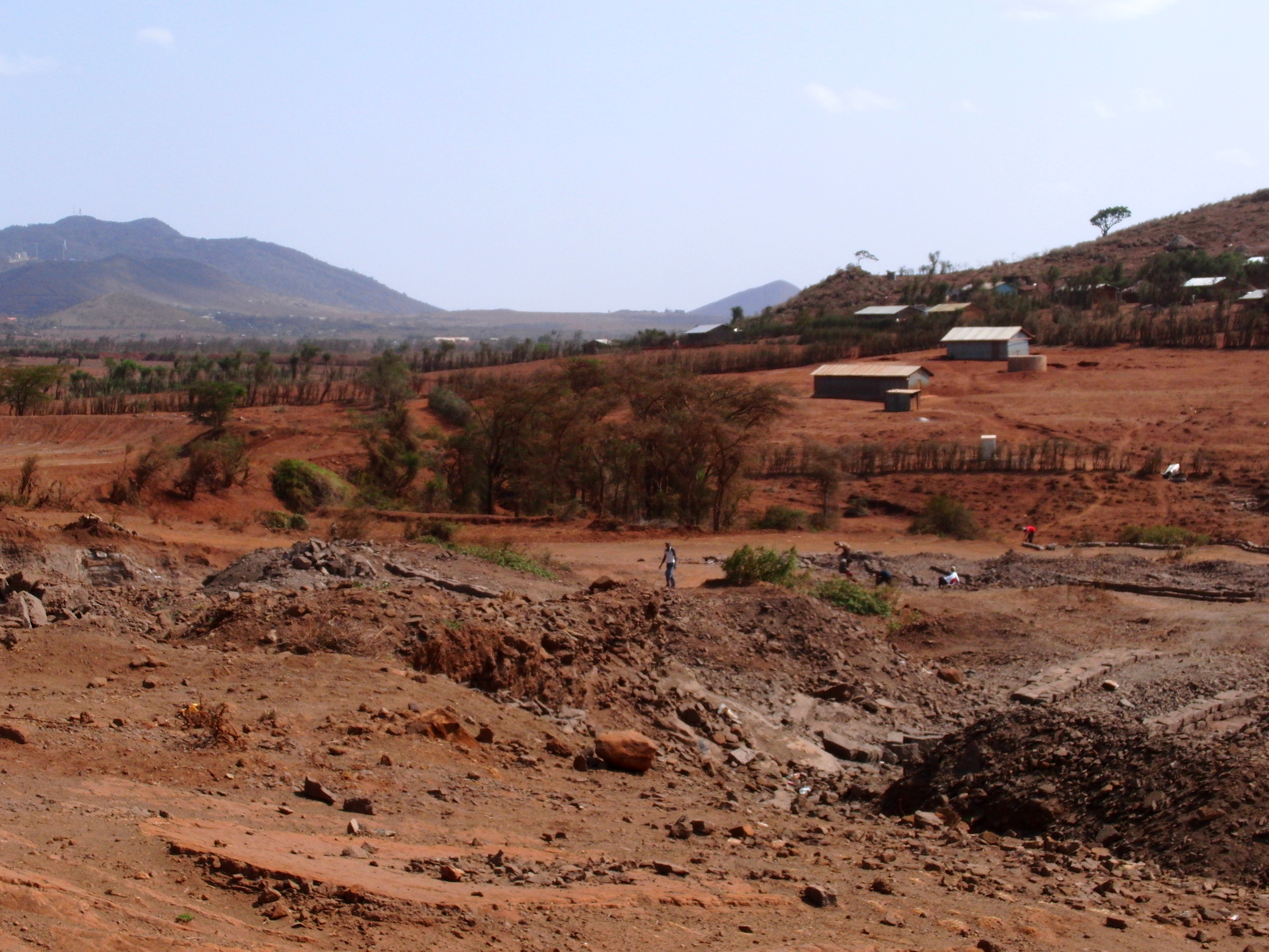
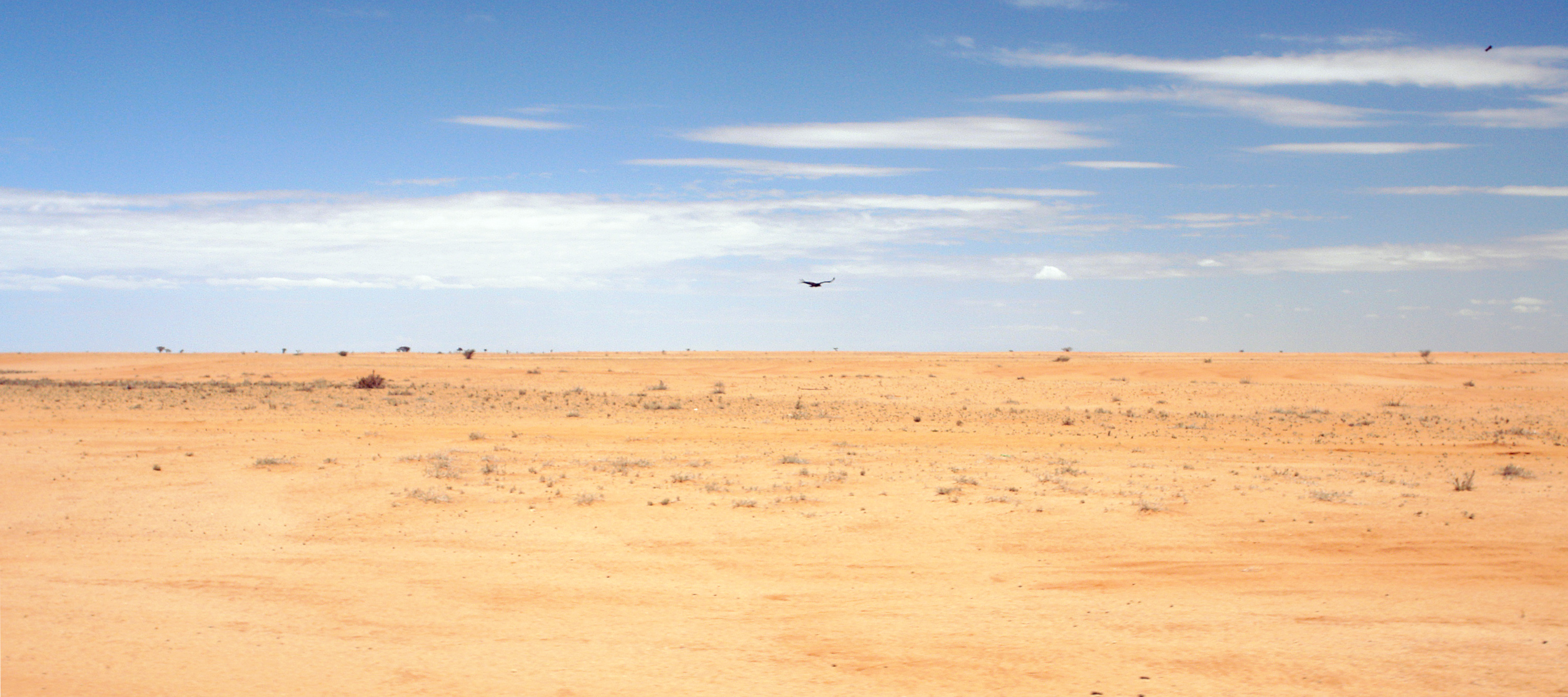
Marsabit is a town in the northern Marsabit County in Kenya. It is situated in the former Eastern Province and is almost surrounded by the Marsabit National Park. The town is located east of the centre of the East African Rift at an elevation of between 1300 and 1400 metres. It serves as the capital of Marsabit County, and lies southeast of the Chalbi Desert in a forested area known for its volcanoes and crater lakes and others. Overview Marsabit is an outpost of urban civilization in the desert of northern Kenya. The town is situated on an isolated extinct volcano, Mount Marsabit, which rises almost a kilometer above the desert. The hills here are heavily forested, in contrast to the desert beyond, with their own "insular" eco-system. The town has a population of about 5,000. The town is mainly inhabited by the Cushitic-speaking Borana Oromo people. There are also very few Nilotic Turkana and Bantu Ameru residents. Additionally, there are also few non-Cushitic-speaking trade ... [...More Info...] [...Related Items...] OR: [Wikipedia] [Google] [Baidu] |
Marsabit Airstrip
Marsabit is a town in the northern Marsabit County in Kenya. It is situated in the Eastern Province (Kenya), former Eastern Province and is almost surrounded by the Marsabit National Park. The town is located east of the centre of the East African Rift at an elevation of between 1300 and 1400 metres. It serves as the capital of Marsabit County, and lies southeast of the Chalbi Desert in a forested area known for its volcanoes and Volcanic crater lake, crater lakes and others. Overview Marsabit is an outpost of urban civilization in the desert of northern Kenya. The town is situated on an isolated extinct volcano, Mount Marsabit, which rises almost a kilometer above the desert. The hills here are heavily forested, in contrast to the desert beyond, with their own "insular" eco-system. The town has a population of about 5,000. The town is mainly inhabited by the Cushitic languages, Cushitic-speaking Borana Oromo people. There are also very few Nilotic people, Nilotic Turkana people ... [...More Info...] [...Related Items...] OR: [Wikipedia] [Google] [Baidu] |
Marsabit County
Marsabit County is a county in Kenya. Covering a surface area of 66,923.1 square kilometres. Marsabit is the second largest county in Kenya. Its capital is Marsabit and its largest town Moyale. According to the 2019 census, the county has a population of 459,785. It is bordered to the North by Ethiopia, to the West by Turkana County to the South by Samburu County and Isiolo County, and to the East by Wajir County. Geography The county is located in central north Kenya. It borders the eastern shore of Lake Turkana. Important topographical features are: Ol Donyo Ranges () in the southwest, Mount Marsabit () in the central part of the county, Hurri Hills () in the northeastern part of the county, Mount Kulal () in the northwest and the mountains around Sololo-Moyale escarpment (up to ) in the northeast. The Chalbi Desert makes up much of the center region of the county. Physical and tropical features The county is made of an extensive plain lying above sea level which gently sl ... [...More Info...] [...Related Items...] OR: [Wikipedia] [Google] [Baidu] |
Marsabit National Park
The Marsabit National Park is a national park and nature reserve located at Mount Marsabit in northern Kenya, near the town of Marsabit. It is located 560 km north of Nairobi in Marsabit County in the former Eastern Province and its reserve is noted for its zebra population and bird sanctuary. Geography The area contains a number of extinct volcanic craters, which are covered in forests. There is a crater in the vicinity named Gof Redo, roughly north of Marsabit in the fork of the roads to Moyale and North Horr. Flora and fauna Zebras, elephant, lions, giraffes, buffaloes, black and white colobus, blue monkeys, bushbucks, sunis, and leopards populate the park. The park contains some 350 species of birds in total, of which 52 are birds of prey. The cliffs in the northern end of Lake Paradise, in Gof Sokorte Gurda, are home to a number of birds, including Ruppell's griffon vultures, peregrine falcons, mountain buzzards, black kites and African fish eagles. Ducks such as ... [...More Info...] [...Related Items...] OR: [Wikipedia] [Google] [Baidu] |
Mount Marsabit
Marsabit is a 6300 km basaltic shield volcano in Kenya, located 170 km east of the center of the East African Rift, in Marsabit County near the town of Marsabit. This was primarily built during the Miocene, but some lava flows and explosive maar-forming eruptions have occurred more recently. At least two of the maars host crater lakes. The volcano is covered by dense forest. Marsabit National Park is in the area. It was here, near a body of water they dubbed Lake Paradise, that American explorers Martin and Osa Johnson spent time in the 1920s living and making wildlife documentaries. See also * List of volcanoes in Kenya This is a short list of active and extinct volcanoes in Kenya.For a more comprehensive list of volcanoes and craters in Kenya, see :sw:Orodha ya volkeno nchini Kenya List of volcanoes in Kenya (non-exhaustive) References * Volcanoes of ... References External links * https://web.archive.org/web/20051224155242/http://www.kenyaforests. ... [...More Info...] [...Related Items...] OR: [Wikipedia] [Google] [Baidu] |
Eastern Province (Kenya)
The Eastern Province ( sw, Mashariki) of Kenya was one of 8 Provinces of Kenya. Its northern boundary ran along with that of Ethiopia; the North Eastern Province and Coast Province lay to the east and south; and the remainder of Kenya's provinces, including Central Province, ran along its western border. The provincial capital was Embu. Overview On 16 July 2009, the province was sub-divided into 3 Sub-Provinces namely lower eastern with Machakos as headquarters, central eastern with Meru as headquarters, and upper eastern with Marsabit as headquarters; however those changes never took effect due to the political wrangles in the Kenyan coalition government at the time. The sub-division of provinces were carried out in all seven Provinces of Kenya, excluding Nairobi. As of March 2013 after the Kenyan general election, 2013, the Eastern Province was subdivided into 8 counties namely: The province was principally inhabited by the Meru, Kamba and Embu and several pastoralis ... [...More Info...] [...Related Items...] OR: [Wikipedia] [Google] [Baidu] |
Counties Of Kenya
The Counties of Kenya ( sw, Kaunti za Kenya) are geographical units envisioned by the 2010 Constitution of Kenya as the new units of devolved government that replaced the previous provincial system. The establishment and executive powers of the counties is provided in Chapter Eleven of the Constitution on devolved government, the Constitution's Fourth Schedule and any other legislation passed by the Senate of Kenya concerning counties. The counties are also single-member constituencies for the election of members of parliament to the Senate of Kenya, and special women members to the National Assembly of Kenya. As of 2022, there are 47 counties whose size and boundaries are based on the 47 legally recognized regions established by the 2010 Constitution. Following the re-organization of Kenya's national administration, counties were integrated into a new national administration with the national government posting county commissioners to counties to serve as a collaborative ... [...More Info...] [...Related Items...] OR: [Wikipedia] [Google] [Baidu] |
Isiolo
Isiolo is a town in Isiolo County, of which it is the capital. It is located in the upper eastern region of Kenya and geographically considered the centre of the country Kenya. It lies 285 kilometres north of the capital Nairobi. The town grew around the local military camps, much of the population being descendants of former Somali soldiers who had fought in World War I as well as other Cushitic-speaking pastoral communities and the Ameru community. The town has an estimated population of 120,000people, most of them living around the outskirts of the town. Like most African cities, there has been a steady increase in the urban population in recent years, especially moving from as far as Moyale, Marsabit and Mandera. Isiolo town is also becoming a centre of interest because of its newly acquired status as a resort city cashing in on the popular Samburu and Shaba Game reserves, which have become preferred destinations after the famed Maasai Mara. Isiolo lies along the long A2 Roa ... [...More Info...] [...Related Items...] OR: [Wikipedia] [Google] [Baidu] |
Chalbi Desert
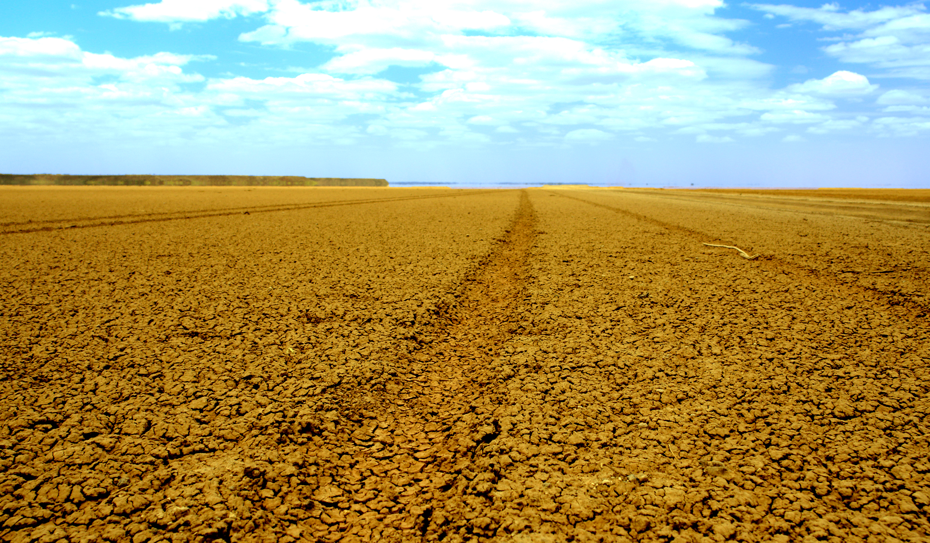
The Chalbi Desert is a small desert in northern Kenya near the border with Ethiopia. It is east of Lake Turkana and contains North Horr. Marsabit is the closest major urban center. Etymology In the language of the Gabbra people, Chalbi means "bare, salty area". Location and description The Chalbi Desert is located in between Mount Marsabit and Lake Turkana. The area is 110 km long and 10 to 20 km wide and it extends over 1,000 km2. The area is composed by both an ancient lakebed and rocky and lava regions. The ancient lakebed of Chalbi used to be a shallow lake around 10,000 to 11,000 years ago. The lava hills provide some altitudinal change in an otherwise plain region. The ground is a combinaiton of dried mud and salt. When it rains, the ground becomes a soft, sticky surface. Chalbi desert has been recognized as an important geosite of Kenya. The preserved fossils of the area have been critical to the understanding of the Quaternary climate in East Afric ... [...More Info...] [...Related Items...] OR: [Wikipedia] [Google] [Baidu] |
Moyale
Moyale is a market town on the border between Ethiopia and Kenya, and is the administrative centre for two Ethiopian Districts of Ethiopia, woredas, Moyale, Oromia (woreda), Moyale of Oromia, Oromia Region and Moyale, Somali (woreda), Moyale of Somali Region. Moyale is the main border post on the Nairobi-Addis Ababa road, lying north of the Dide Galgalu Desert. It is known for its traditional architecture. History An early settler at Moyale was a Greeks in Ethiopia, Greek by the name of Philip Zaphiro, (later to become the British Vice Consul and Oriental Secretary to Ethiopia) who had a station which he had named "Fort Harrington". When C.W. Gwynn visited in 1908, Zaphiro's station consisted of a garden that covered several acres and his house, located on a spur projecting from the Boran highlands, and providing access through the line of cliffs that run along the border. "This route may well become some day a considerable trade artery," Gwynn predicted. "Fort Harrington is ... [...More Info...] [...Related Items...] OR: [Wikipedia] [Google] [Baidu] |
Volcanic Crater Lake
A volcanic crater lake is a lake in a crater that was formed by explosive activity or a collapse during a volcanic eruption. Formation Lakes in calderas fill large craters formed by the collapse of a volcano during an eruption. Lakes in maars fill medium-sized craters where an eruption deposited debris around a vent. Crater lakes form as the created depression, within the crater rim, is filled by water. The water may come from precipitation, groundwater circulation (often hydrothermal fluids in the case of volcanic craters) or melted ice. Its level rises until an equilibrium is reached between the rates of incoming and outgoing water. Sources of water loss singly or together may include evaporation, subsurface seepage, and, in places, surface leakage or overflow when the lake level reaches the lowest point on its rim. At such a saddle location, the upper portion of the lake is contained only by its adjacent natural volcanic dam; continued leakage through or surface outflow ac ... [...More Info...] [...Related Items...] OR: [Wikipedia] [Google] [Baidu] |
Mega, Ethiopia
Mega is a town in southern Ethiopia. Located between Moyale and Yabelo on the paved highway south to Kenya, in the Borena Zone of the Oromia, this town has a latitude and longitude of with an elevation of 1740 meters above sea level. Named for a nearby mountain, this town is the administrative center of Dire woreda. This town is reported to have telephone service and a post office, as well as at least one primary and one secondary school and financial institutions. History Mega came under Ethiopian control in 1897 when Fitawrari Habte Giyorgis built a fort was nearby. In the early part of the twentieth century, it was important as the residence for Sir Arnold Weinholt Hodson, British Consul for Southern Ethiopia between 1914-1923. The British manned the consulate at least as late as the 1950s. [...More Info...] [...Related Items...] OR: [Wikipedia] [Google] [Baidu] |
Camels In Marsabit, Kenya
A camel (from: la, camelus and grc-gre, κάμηλος (''kamēlos'') from Hebrew or Phoenician: גָמָל ''gāmāl''.) is an even-toed ungulate in the genus ''Camelus'' that bears distinctive fatty deposits known as "humps" on its back. Camels have long been domesticated and, as livestock, they provide food (milk and meat) and textiles (fiber and felt from hair). Camels are working animals especially suited to their desert habitat and are a vital means of transport for passengers and cargo. There are three surviving species of camel. The one-humped dromedary makes up 94% of the world's camel population, and the two-humped Bactrian camel makes up 6%. The Wild Bactrian camel is a separate species and is now critically endangered. The word ''camel'' is also used informally in a wider sense, where the more correct term is "camelid", to include all seven species of the family Camelidae: the true camels (the above three species), along with the "New World" camelids: the llama, ... [...More Info...] [...Related Items...] OR: [Wikipedia] [Google] [Baidu] |


