|
Markham, Portland, Oregon
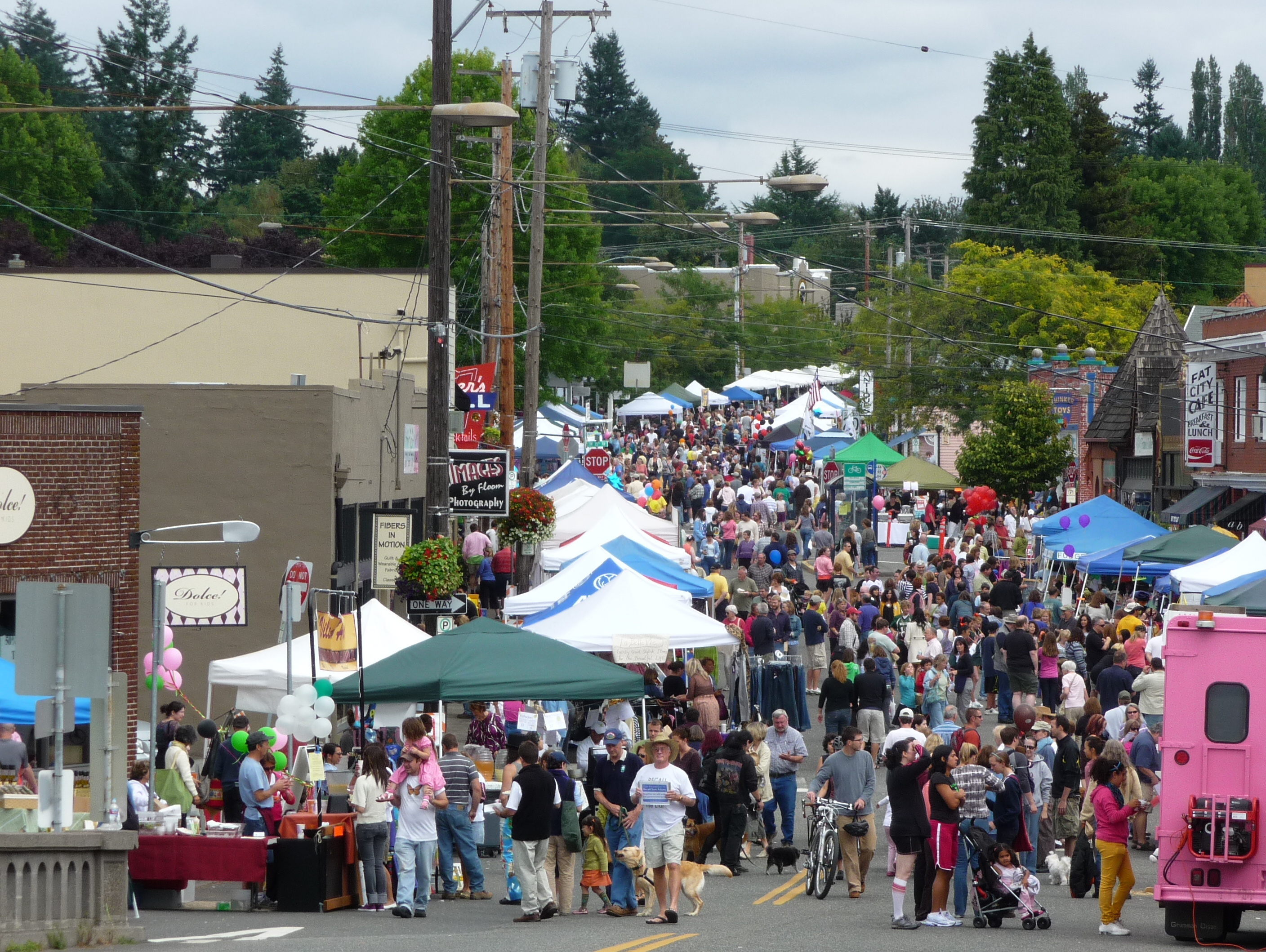
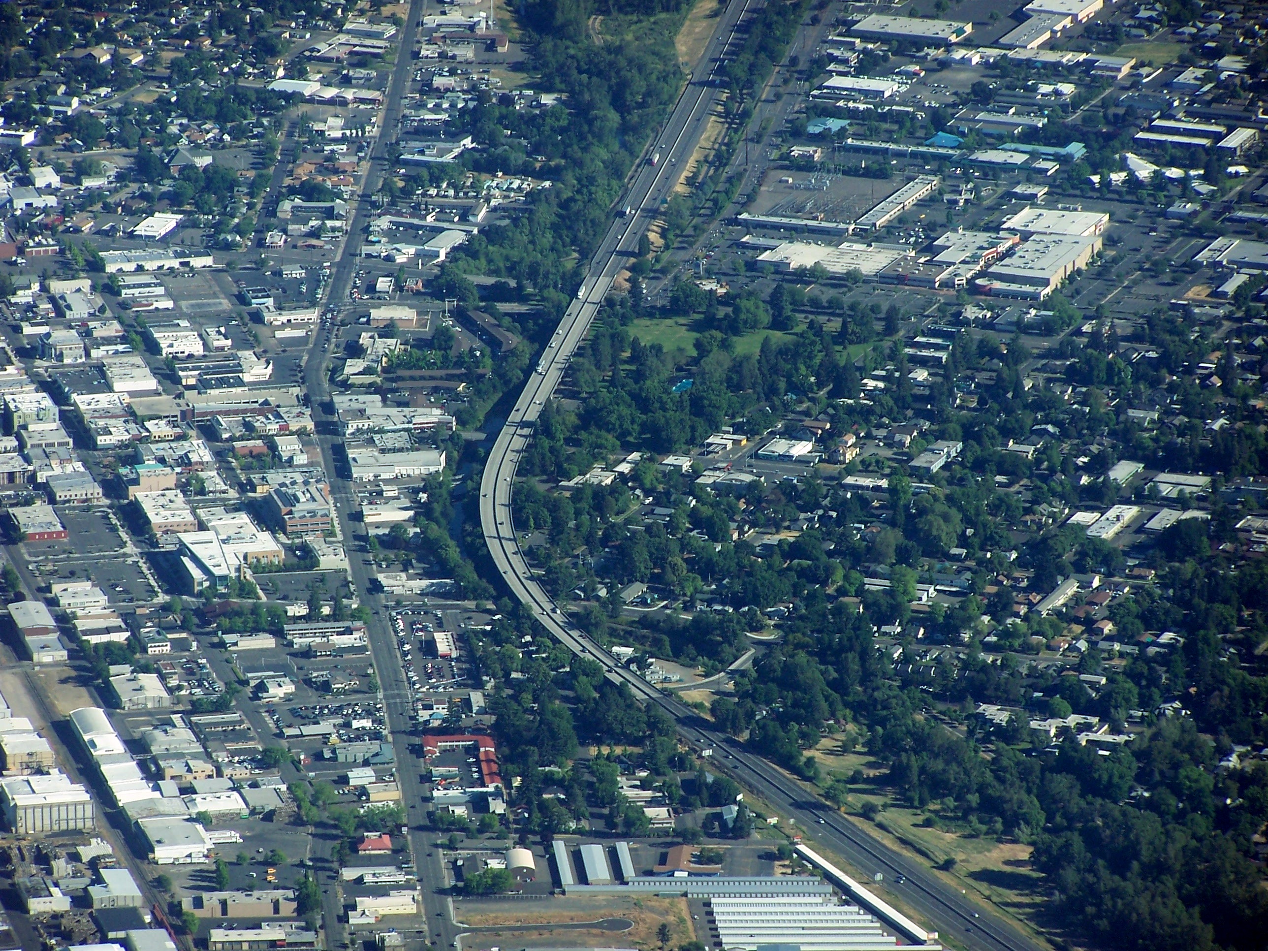
Markham is a neighborhood in the Southwest section of Portland, Oregon. Markham is bordered by Multnomah and South Burlingame on the north, Marshall Park on the east, Arnold Creek on the south, and West Portland Park on the west. Part of Maricara Natural Area (1988) is located in Markham (as well as in Arnold Creek). Borders On the south side, Markham is bordered by SW Maricara St., and it continues along on straight line until it reaches SW 25th Ave. Heading north, the border turns left onto SW Lancaster Rd and heads north once more. It then turns right onto SW Taylors Ferry Rd, and heads northeast. After an intersection with SW Spring Garden St, it turns westward, until reaching I-5 Interstate 5 (I-5) is the main north–south Interstate Highway on the West Coast of the United States, running largely parallel to the Pacific coast of the contiguous U.S. from Mexico to Canada. It travels through the states of Californi ..., where it turns left and heads southwest. ... [...More Info...] [...Related Items...] OR: [Wikipedia] [Google] [Baidu] |
United States
The United States of America (U.S.A. or USA), commonly known as the United States (U.S. or US) or America, is a country primarily located in North America. It consists of 50 U.S. state, states, a Washington, D.C., federal district, five major unincorporated territories, nine United States Minor Outlying Islands, Minor Outlying Islands, and 326 Indian reservations. The United States is also in Compact of Free Association, free association with three Oceania, Pacific Island Sovereign state, sovereign states: the Federated States of Micronesia, the Marshall Islands, and the Palau, Republic of Palau. It is the world's List of countries and dependencies by area, third-largest country by both land and total area. It shares land borders Canada–United States border, with Canada to its north and Mexico–United States border, with Mexico to its south and has maritime borders with the Bahamas, Cuba, Russia, and other nations. With a population of over 333 million, it is the List of ... [...More Info...] [...Related Items...] OR: [Wikipedia] [Google] [Baidu] |
Oregon
Oregon () is a state in the Pacific Northwest region of the Western United States. The Columbia River delineates much of Oregon's northern boundary with Washington, while the Snake River delineates much of its eastern boundary with Idaho. The 42° north parallel delineates the southern boundary with California and Nevada. Oregon has been home to many indigenous nations for thousands of years. The first European traders, explorers, and settlers began exploring what is now Oregon's Pacific coast in the early-mid 16th century. As early as 1564, the Spanish began sending vessels northeast from the Philippines, riding the Kuroshio Current in a sweeping circular route across the northern part of the Pacific. In 1592, Juan de Fuca undertook detailed mapping and studies of ocean currents in the Pacific Northwest, including the Oregon coast as well as the strait now bearing his name. Spanish ships – 250 in as many years – would typically not land before reaching Cape M ... [...More Info...] [...Related Items...] OR: [Wikipedia] [Google] [Baidu] |
Portland, Oregon
Portland (, ) is a port city in the Pacific Northwest and the largest city in the U.S. state of Oregon. Situated at the confluence of the Willamette and Columbia rivers, Portland is the county seat of Multnomah County, the most populous county in Oregon. Portland had a population of 652,503, making it the 26th-most populated city in the United States, the sixth-most populous on the West Coast, and the second-most populous in the Pacific Northwest, after Seattle. Approximately 2.5 million people live in the Portland metropolitan statistical area (MSA), making it the 25th most populous in the United States. About half of Oregon's population resides within the Portland metropolitan area. Named after Portland, Maine, the Oregon settlement began to be populated in the 1840s, near the end of the Oregon Trail. Its water access provided convenient transportation of goods, and the timber industry was a major force in the city's early economy. At the turn of the 20th centu ... [...More Info...] [...Related Items...] OR: [Wikipedia] [Google] [Baidu] |
Multnomah, Portland, Oregon
Multnomah is a neighborhood in the southwest section of Portland, Oregon, centered on the Multnomah Village business district. The community developed in the 1910s around a depot of the Oregon Electric Railway of the same name. It was annexed by the city of Portland on November 7, 1950. Multnomah is bordered by SW 45th Ave. on the west, SW Capitol Hill Road on the east, SW Vermont St. on the north, and I-5 in the south. Exceptions are the area north of SW Nevada Ct. and east of SW 26th Ave. (part of Hillsdale), an area south of SW Multnomah Blvd. and north of SW Dolph St. where SW 48th Ave. is the western border, and an area south of SW Marigold St. where SW Capitol Highway is the western border. The neighborhood is bordered by Maplewood, Ashcreek, and Crestwood on the west, Hayhurst and Hillsdale to the north, and South Burlingame, Markham, and West Portland Park to the south and east. A bit of Portland history played out in the Village on April 7, 1987, when Mayor Bud ... [...More Info...] [...Related Items...] OR: [Wikipedia] [Google] [Baidu] |
South Burlingame, Portland, Oregon
South Burlingame is a neighborhood in the Southwest section of Portland, Oregon. It is bordered by Multnomah to the west, Hillsdale and South Portland to the north, the River View Cemetery to the east, and Markham, Marshall Park, and Collins View to the south. Interstate 5 cuts through the northern part of the neighborhood, separating the Fulton Park area from the rest of South Burlingame. History South Burlingame was formed on June 7, 1910 when B.M. Lombard, in partnership with Fulton Park Land Company, recorded a replat to a section of land that was, at the time, a part of the Fulton Park District. The original Fulton Park District was , and was formed on July 20, 1888 when Philip A. Marquam sold the land to the South West Portland Company for $150,000. It included the present-day South Burlingame neighborhood as well as an eight-block corridor of land that follows Terwilliger Boulevard north from Interstate 5 Interstate 5 (I-5) is the main north–south Interst ... [...More Info...] [...Related Items...] OR: [Wikipedia] [Google] [Baidu] |
Marshall Park, Portland, Oregon
Marshall Park is a neighborhood in the Southwest section of Portland, Oregon. It gets its name from the adjacent Marshall Park donated to the City of Portland by Frederick C. and Addie Mae Marshall in 1948. It borders Markham to the west and north, South Burlingame to the north, Collins View to the east, and Arnold Creek to the south. Parks in the neighborhood include Jensen Natural Area (1996), Foley-Balmer Natural Area (1996) and Marshall Park (1948). References External links Marshall Park Neighborhood Associationon the Southwest Neighborhoods, Inc. district coalition website (PortlandNeighborhood.com) Neighborhoods in Portland, Oregon {{MultnomahCountyOR-geo-stub ... [...More Info...] [...Related Items...] OR: [Wikipedia] [Google] [Baidu] |
Arnold Creek, Portland, Oregon
Arnold Creek is a neighborhood (and a creek) in the Southwest section of Portland, Oregon, just north of the city of Lake Oswego and Clackamas County. It borders West Portland Park to the west, Markham and Marshall Park to the north, Collins View and Tryon Creek State Natural Area The Tryon Creek State Natural Area is a state park located primarily in Portland, in the U.S. state of Oregon. It is the only Oregon state park within a major metropolitan area. The park lies between Boones Ferry Road and Terwilliger Boulevard ... to the east, and Lake Oswego and the unincorporated Multnomah County enclave of Englewood to the south. Part of Maricara Natural Area (1988) is located in Arnold Creek (as well as in Markham). References External linksFriends of Arnold Creek Neighborhoods in Portland, Oregon {{MultnomahCountyOR-geo-stub ... [...More Info...] [...Related Items...] OR: [Wikipedia] [Google] [Baidu] |
West Portland Park, Portland, Oregon
West Portland Park is a neighborhood in the Southwest section of Portland, Oregon. It lies between SW 53rd Ave. in the west and SW 35th Ave. in the east, and I-5 in the north and SW Stephenson St. (Portland city limits) in the south. (Two small sections extend further south, a parcel at the end of SW 47th Ave. and the "Kerr Site" between SW 39th Ave. and SW 37th Ave., following irregularities in Portland's southern border.) South of SW Pomona St., the western border is SW 49th Ave. The neighborhood borders Crestwood and Far Southwest to the west, Multnomah to the north, Markham and Arnold Creek to the east, and the city of Lake Oswego to the south. The northern part of the neighborhood is called Capitol Hill, site of the Capitol Hill Library, the Islamic Center of Portland, the Portland Rizwan Mosque (of the Ahmadiyya Muslim Community), and the Islamic School of Portland. Jackson Middle School and Markham Elementary School are in West Portland Park. Public open space in ... [...More Info...] [...Related Items...] OR: [Wikipedia] [Google] [Baidu] |
Interstate 5 In Oregon
Interstate 5 (I-5) in the U.S. state of Oregon is a major Interstate Highway that traverses the state from north to south. It travels to the west of the Cascade Mountains, connecting Portland to Salem, Eugene, Medford, and other major cities in the Willamette Valley and across the northern Siskiyou Mountains. The highway runs from the California state line near Ashland to the Washington state line in northern Portland, forming the central part of Interstate 5's route between Mexico and Canada. I-5 was designated in 1957 and replaced U.S. Route 99 (US 99) for most of its length, itself preceded by the Pacific Highway and various wagon roads. The freeway incorporated early bypasses and expressways built for US 99 in the 1950s, including a new freeway route from Portland to Salem, and additional bypasses were built using federal funds. The last segment of I-5, on the Marquam Bridge in Portland, was opened in October 1966 and the whole highway was dedicated later t ... [...More Info...] [...Related Items...] OR: [Wikipedia] [Google] [Baidu] |
.jpg)


