|
Mannlgrat
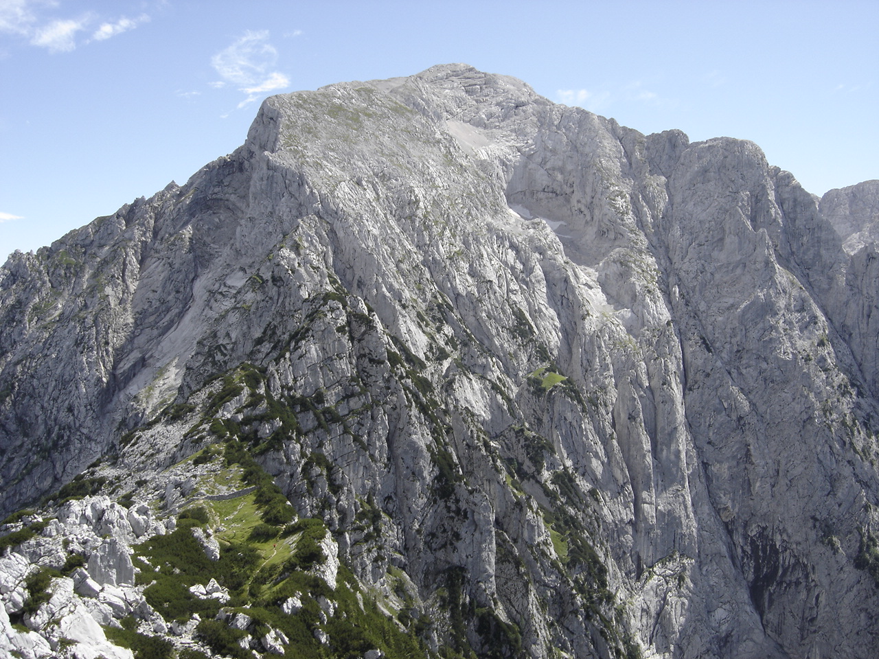
The Mannlgrat is an east-facing ridge on the ''Hoher Göll'' in the Bavarian Alps rising above Obersalzberg near Berchtesgaden Berchtesgaden () is a municipality in the district Berchtesgadener Land, Bavaria, in southeastern Germany, near the border with Austria, south of Salzburg and southeast of Munich. It lies in the Berchtesgaden Alps, south of Berchtesgaden; the .... The ridge rises from a col separating it from a subpeak of the Hoher Göll, the '' Kehlstein'', upon which the famous Kehlsteinhaus is located. Served by a Klettersteig, the Mannlgrat is regarded as the easiest route to the Hoher Göll's summit. References {{coord, 47.6053, N, 13.0539, E, source:wikidata, display=title Berchtesgaden Alps ... [...More Info...] [...Related Items...] OR: [Wikipedia] [Google] [Baidu] |
Hoher Göll
The Hoher Göll is a mountain in the Berchtesgaden Alps. It is the highest peak of the Göll massif, which straddles the border between the German state of Bavaria and the Austrian state of Salzburg. Geography On the Bavarian west side of the Hoher Göll massif, the Königssee separates it from the Watzmann, another peak in the Berchtesgaden Alps. The Königssee drains northward into the Königsseer Ache, through the Bavarian towns of Obersalzberg to the north of the Hoher Göll and Berchtesgaden to the northwest, before merging into the Berchtesgadener Ache and then the Salzach river through Salzburg farther to the north. On the Austrian east side of the massif lies the valley of the Salzach itself, flowing from south to north and merging with the west-flowing Lammer at the base of the massif, in Golling an der Salzach. A lower line of hills, to the south of the massif, lies along the German-Austrian border separating the Königssee from the Salzach. Within t ... [...More Info...] [...Related Items...] OR: [Wikipedia] [Google] [Baidu] |
Kehlstein
The Kehlstein is a subpeak of the Göll massif, a mountain in the Berchtesgaden Alps. The rocky promontory is located west of the ''Hoher Göll'' main summit, high above the Obersalzberg mountain retreat near Berchtesgaden. It is chiefly known for the Kehlsteinhaus (Eagle's Nest) mountain inn built in 1937–1938, which is a major tourist destination. While other parts of the restricted Obersalzberg area around the former Berghof headquarters were turned into a US Armed Forces Recreation Center, the Kehlstein peak was made accessible to the public already in 1952. The motor road up to the Kehlsteinhaus, running uphill through several tunnels, was closed for traffic; nevertheless, DB Regio bus service is provided in summer. From the upper turning place, a steep footpath leads to the restaurant. Guests may also use the ''Kehlsteinlift'' elevator running through the rocks directly to the reception area. The Kehlstein spur offers a panoramic view over the Berchtesgaden Alps, in ... [...More Info...] [...Related Items...] OR: [Wikipedia] [Google] [Baidu] |
Kehlsteinhaus
The (known in English as the Eagle's Nest) is a Nazi-constructed building erected atop the summit of the Kehlstein, a rocky outcrop that rises above Obersalzberg near the southeast German town of Berchtesgaden. It was used exclusively by members of the Nazi Party for government and social meetings. It was visited on 14 documented instances by Adolf Hitler. Today, it is open seasonally as a restaurant, beer garden, and tourist site. Construction The Kehlsteinhaus sits on a ridge atop the Kehlstein, a subpeak of the Hoher Göll that rises above the town of Berchtesgaden. It was commissioned by Martin Bormann in the summer of 1937. Paid for by the Nazi Party, it was completed in 13 months. Twelve workers died during its construction. A wide approach road climbs over ; it includes five tunnels and one hairpin turn. It cost to build (about $247 million USD, inflation-adjusted for 2022). Hitler's birthday in April 1939 was considered a deadline for the project's completion, ... [...More Info...] [...Related Items...] OR: [Wikipedia] [Google] [Baidu] |
Bavarian Alps
The Bavarian Alps (german: Bayerische Alpen) is a collective name for several mountain ranges of the Northern Limestone Alps within the German state of Bavaria. Geography The term in its wider sense refers to that part of the Eastern Alps that lies on Bavarian state territory. However, it is traditionally understood that the Bavarian Alps are only those ranges between the rivers Lech and Saalach ('' Altbayern''). In this narrower sense, the Allgäu Alps in Swabia, which have only been part of Bavaria in more recent times, and the Berchtesgaden Alps in the east are not considered part of the Bavarian Alps. The term is frequently used, but does not correspond to the common classification of the Eastern Alps (AVE) developed by the German, Austrian and South Tyrol Alpine Clubs. It should not be confused with the term Bavarian Prealps either. The latter only covers the Bavarian section of the Prealps between the River Loisach in the west and the River Inn in the east. According t ... [...More Info...] [...Related Items...] OR: [Wikipedia] [Google] [Baidu] |
Obersalzberg
Obersalzberg is a mountainside retreat situated above the market town of Berchtesgaden in Bavaria, Germany. Located about south-east of Munich, close to the border with Austria, it is best known as the site of Adolf Hitler's former mountain residence, the Berghof, and of the mountaintop Kehlsteinhaus, popularly known in the English-speaking world as the "Eagle's Nest". All of the Nazi era buildings (except the Kehlsteinhaus, which still exists and now serves as a restaurant and tourist attraction) were demolished in the 1950s, but the relevant past of the area is the subject of the ''Dokumentationszentrum Obersalzberg'' museum, which opened in 1999. History The name of the settlement area derives from the rock salt deposits in the former Prince-Provostry of Berchtesgaden. Salt mining at ''Pherg'' is documented since the 12th century and a major salt mine opened in 1517. It was destroyed in 1834 but rebuilt and named the "Old Salt Works". The rectangular layout and some componen ... [...More Info...] [...Related Items...] OR: [Wikipedia] [Google] [Baidu] |
Berchtesgaden
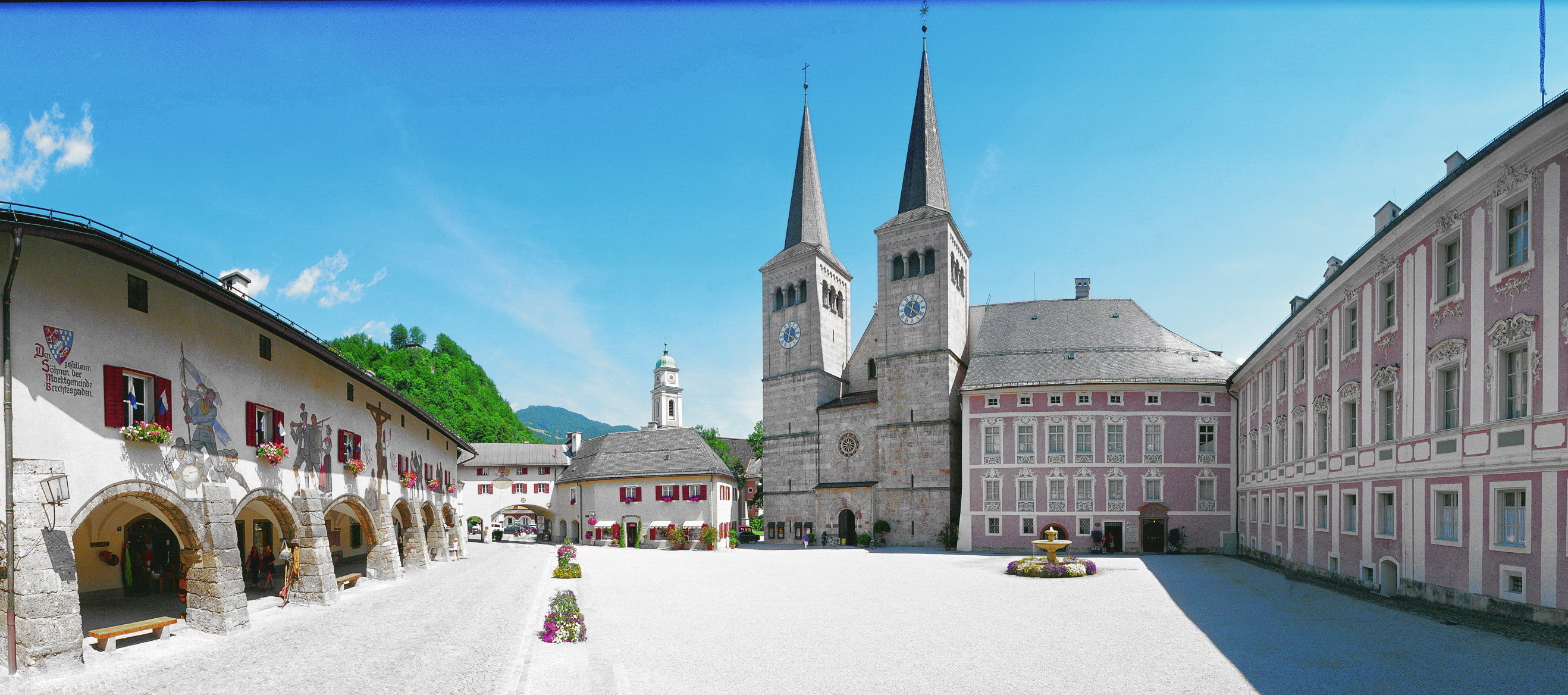
Berchtesgaden () is a municipality in the district Berchtesgadener Land, Bavaria, in southeastern Germany, near the border with Austria, south of Salzburg and southeast of Munich. It lies in the Berchtesgaden Alps, south of Berchtesgaden; the Berchtesgaden National Park stretches along three parallel valleys. The Kehlstein mountain (), with its ''Kehlsteinhaus'' (Eagle's Nest) is located in the area. Etymology ''Berchtesgaden'', Upper Bavaria (Achental), earlier ''Perchterscadmen'', ''Perhtersgadem'', ''Berchirchsgadem'', ''Berchtoldesgadem''; the word underwent a Latin distortion of Old High German ''parach'', Romance ''bareca'' 'hay shed'. After the basic meaning was forgotten, a variant word of Old High German ''gadem'' 'room, one-room hut' was added, implying the same meaning: 'hay shed'. Cf. Old High German ''muosgadem'' 'spice room'. There was a folk etymology that supported a derivation based on the legendary figure of ''Frau'' Perchta (Berchta), a woman (''Holle'' ... [...More Info...] [...Related Items...] OR: [Wikipedia] [Google] [Baidu] |
Mountain Pass
A mountain pass is a navigable route through a mountain range or over a ridge. Since many of the world's mountain ranges have presented formidable barriers to travel, passes have played a key role in trade, war, and both Human migration, human and animal migration throughout history. At lower elevations it may be called a hill pass. A mountain pass is typically formed between two volcanic peaks or created by erosion from water or wind. Overview Mountain passes make use of a gap (landform), gap, saddle (landform), saddle, col or notch (landform), notch. A topographic saddle is analogous to the mathematical concept of a saddle surface, with a saddle point marking the highest point between two valleys and the lowest point along a ridge. On a topographic map, passes are characterized by contour lines with an hourglass shape, which indicates a low spot between two higher points. In the high mountains, a difference of between the summit and the mountain is defined as a mountain pas ... [...More Info...] [...Related Items...] OR: [Wikipedia] [Google] [Baidu] |
Klettersteig
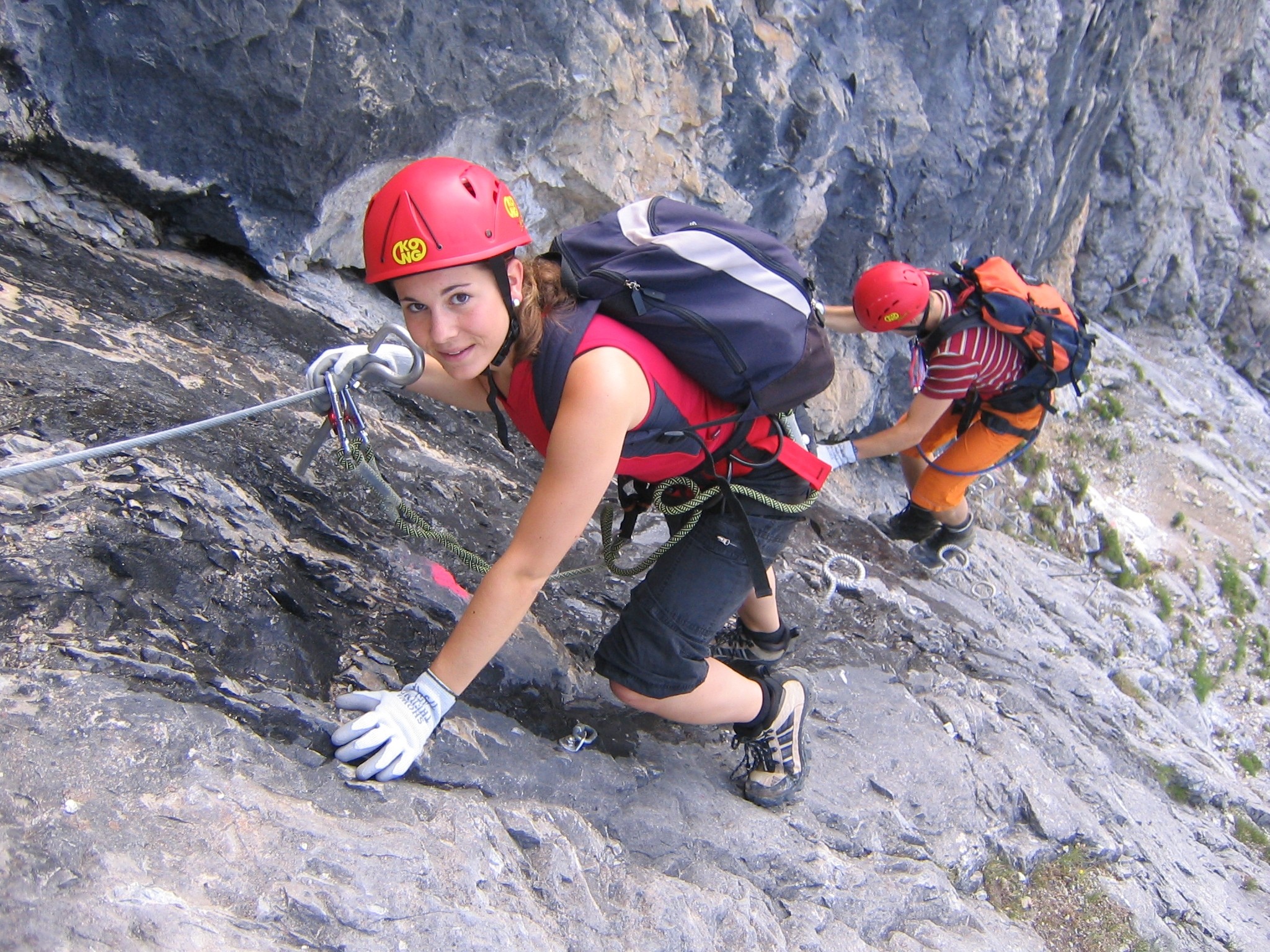
A via ferrata (Italian language, Italian for "iron path", plural ''vie ferrate'' or in English ''via ferratas'') is a protected climbing route found in the Alps and certain other locations. The term "via ferrata" is used in most countries and languages except notably in German-speaking regions, which use ''Klettersteig''—"climbing path" (plural ''Klettersteige''). Infrastructure A via ferrata is a climbing route that employs steel cables, rungs or ladders, fixed to the rock to which the climbers affix #Safety and equipment, a harness with two leashes, which allows the climbers to secure themselves to the metal fixture and limit any fall. The cable and other fixtures, such as iron rungs (stemples), pegs, carved steps, and ladders and bridges, provide both footings and handholds, as well. This allows climbing on otherwise dangerous routes without the risks of unprotected scrambling and climbing or the need for technical climbing equipment. They expand the opportunities for acce ... [...More Info...] [...Related Items...] OR: [Wikipedia] [Google] [Baidu] |

.png)


