|
Lohegaon
Lohagaon (''Lohagāva'') (Marathi: लोहगाव) is a neighbourhood in northeast Pune, India. There is a grand temple of Shri Sant Tukaram Maharaj in Lohagaon. A big kirtan festival is celebrated every year and a big fair is held. Shiva Jayanti is also celebrated on a large scale every year. Lohagaon is primarily known for the Pune Airport, a customs airport. It comes under Pune Municipal Corporation. It also has an Indian Air Force Base, which houses the 2 Wing, IAF. Established in 1939, it is one of the oldest air bases in India, after the Ambala Air Base. Many ex-servicemen from different regions of India reside in parts of Lohagaon. The area has grown hugely in this decade as a residential area due to the development of IT Parks in adjoining Viman Nagar. Lohegaon has relatively less buildings and tall structures compared to nearby areas due to its proximity to the airport. History The oldest known available surviving map which shows Lohagaon as a prominent village ... [...More Info...] [...Related Items...] OR: [Wikipedia] [Google] [Baidu] |
Pune Airport
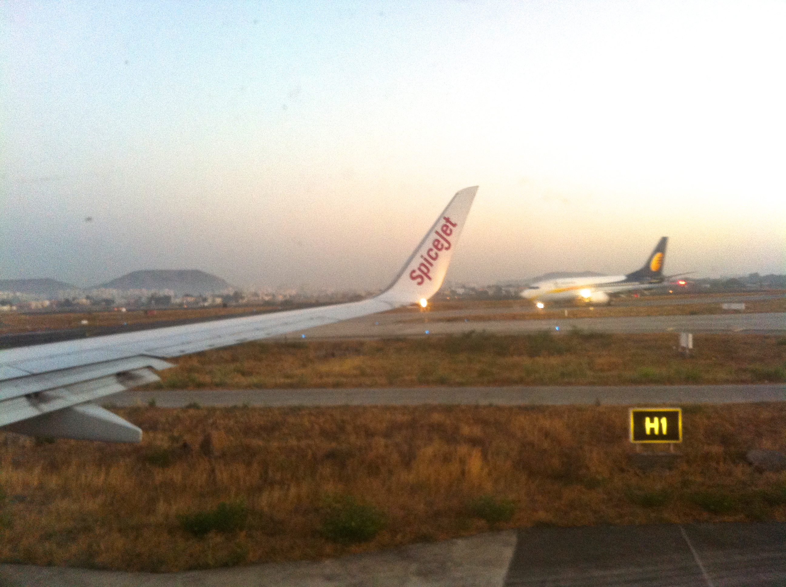
Pune Airport is a customs airport located approximately northeast of the historic centre of Pune in the state of Maharashtra, India. The airport is a civil enclave operated by the Airports Authority of India at the western side of Lohagaon Air Force Station of the Indian Air Force. The airport serves both domestic and international flights. In financial year 2020, the airport handled 8.09 million passengers. The airport is awarded as 'Best Airport by Hygiene Measures' in Asia-Pacific in 2020 by Airports Council International. Overview Pune Airport has a 2,540 m long runway oriented 10/28. A former secondary runway is now used as a taxiway by the IAF. A 2200m x 23m parallel taxiway was constructed by AAI to facilitate civil operation on the southern side of runway 10/28. The airfield is equipped with night landing facilities as well as navigational facilities like DVOR/ DME and an NDB. As Pune's Air Traffic Control is operated by the IAF, there is often friction between th ... [...More Info...] [...Related Items...] OR: [Wikipedia] [Google] [Baidu] |
Vishrantwadi
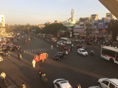
Vishrantwadi is a suburb of Pune City in the State of Maharashtra, India. Vishrantwadi is a bustling commercial and residential neighborhood to the north of the city and includes the areas of Mohanwadi, Pratik Nagar, Kasturbawadi (now known as Kasturba Housing Society), Phule Nagar, Mental Corner, Police Lines, Shanti Nagar, Dhanori, Tingre Nagar, Kalas, Mhaskewasti and Dighi. Location Vishrantwadi is located near and shares borders with * Yerwada * Lohegaon * Khadki * Alandi The entire neighbourhood of Vishrantwadi lies along the Alandi Road. Other major roads in this locality are the Tingre Nagar Road (Vishrantwadi-Airport Road) and Dhanori Road. The Pune Railway station is about 7 kilometers from Vishrantwadi while the Pune International Airport at Lohegaon is just about 4 kilometers away. The Yerwada Central Jail and the Pune Mental Hospital too are situated nearby. Etymology and history Vishrantwadi used to be a resting place for the thousands of Varkaris who made the an ... [...More Info...] [...Related Items...] OR: [Wikipedia] [Google] [Baidu] |
Vimannagar
Viman Nagar is a residential and retail neighborhood in the Eastern Metropolitan Corridor of Pune and is one of the regions in the city. Viman Nagar is in close proximity to the Pune International Airport. During the Pre-independence era, the neighborhood was known as Dunkirk Lines. The vibrant Viman Nagar is strewn with plush residential complexes, bustling corporate offices, fine-dining restaurants, and glitzy shopping malls. The locality enjoys easy accessibility to work, leisure as well as high-profile educational institutions thus boasting one of the highest property rates in real estate in the entire state of Maharashtra, making it a prestigious and highly sought residential destination. Location Viman Nagar is located 8 kilometers North off the Pune Railway Station and 0.5 kilometers South off the Pune International Airport. Geography *Northbound: Pune International Airport *Westbound: Yerawada *Central: Lohagaon *Southbound: Vadgaon Sheri *Eastbound: Kharadi, ... [...More Info...] [...Related Items...] OR: [Wikipedia] [Google] [Baidu] |
Ajeenkya DY Patil University
Ajeenkya DY Patil University (ADYPU) is a private University located in Lohegaon, Pune, Maharashtra, India India, officially the Republic of India (Hindi: ), is a country in South Asia. It is the seventh-largest country by area, the second-most populous country, and the most populous democracy in the world. Bounded by the Indian Ocean on the so ... and belongs to the DY Patil group, a network of educational institutions in India. Campus The university has been established under Maharashtra Govt. Act of 2015 of Government of Maharashtra and is approved by UGC. Since then, the university buildings, designed mainly in the classical style, have been located on a campus on the outskirts of Pune. The campus, called DY Patil Knowledge City, is also home to the DY Patil Dental School. There is also an international school for children on the campus. It also includes natural areas, extensive sports fields, and various canteens. Departments The university offers courses in ... [...More Info...] [...Related Items...] OR: [Wikipedia] [Google] [Baidu] |
Pune
Pune (; ; also known as Poona, (List of renamed Indian cities and states#Maharashtra, the official name from 1818 until 1978) is one of the most important industrial and educational hubs of India, with an estimated population of 7.4 million As of 2021, Pune Metropolitan Region is the largest in Maharashtra by area, with a geographical area of 7,256 sq km. It has been ranked "the most liveable city in India" several times. Pune is also considered to be the cultural and educational capital of Maharashtra. Along with the municipal corporation area of Pimpri-Chinchwad Municipal Corporation, PCMC, Pune Municipal Corporation, PMC and the three Cantonment Board, cantonment towns of Pune Camp, Camp, Khadki, and Dehu Road, Pune forms the urban core of the eponymous Pune Metropolitan Region (PMR). Situated {{convert, 560, m, 0, abbr=off Height above sea level, above sea level on the Deccan Plateau, Deccan plateau, on the right bank of the Mutha River, Mutha river,{{cite web , last=Nala ... [...More Info...] [...Related Items...] OR: [Wikipedia] [Google] [Baidu] |
Pune District
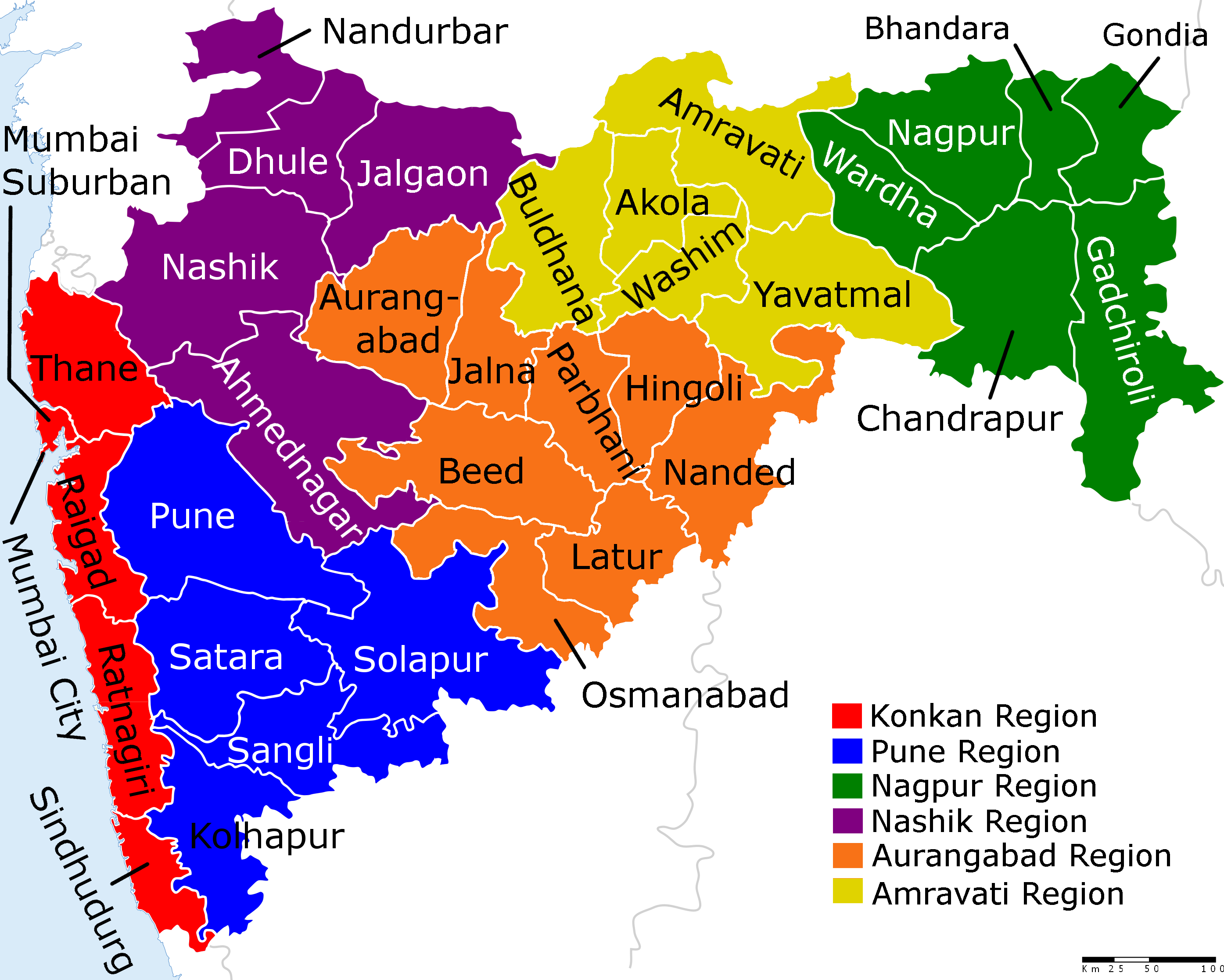
Pune district (Marathi pronunciation: Help:IPA/Marathi, [puɳeː]) is the most populous district in the Indian state of Maharashtra. The district's population was 9,429,408 in the 2011 census, making it the fourth most populous district amongst India's 640 List of districts in India, districts. This district has an urban population of 58.08 percent of its total. It is one of the most industrialized districts in India. In recent decades it has also become a hub for information technology. Officer Members of Parliament *Girish Bapat (Bharatiya Janata Party, BJP) - *Supriya Sule (Nationalist Congress Party, NCP) - *Amol Kolhe, Dr. Amol Kolhe (Nationalist Congress Party, NCP) - *Shrirang Barne (Balasahebanchi Shiv Sena, BSS) - Guardian Minister list of Guardian Minister District Magistrate/Collector list of District Magistrate / Collector District Justice District Police Commissioner list of District Police Commissioner President & Vice-President ... [...More Info...] [...Related Items...] OR: [Wikipedia] [Google] [Baidu] |
Tehsil
A tehsil (, also known as tahsil, taluka, or taluk) is a local unit of administrative division in some countries of South Asia. It is a subdistrict of the area within a district including the designated populated place that serves as its administrative centre, with possible additional towns, and usually a number of villages. The terms in India have replaced earlier terms, such as '' pargana'' (''pergunnah'') and ''thana''. In Andhra Pradesh and Telangana, a newer unit called mandal (circle) has come to replace the system of tehsils. It is generally smaller than a tehsil, and is meant for facilitating local self-government in the panchayat system. In West Bengal, Bihar, Jharkhand, community development blocks are the empowered grassroots administrative unit, replacing tehsils. As an entity of local government, the tehsil office (panchayat samiti) exercises certain fiscal and administrative power over the villages and municipalities within its jurisdiction. It is the ultimate execu ... [...More Info...] [...Related Items...] OR: [Wikipedia] [Google] [Baidu] |
William Faden
William Faden (1749 – 1836) was an English cartographer and a publisher of maps. He was the royal geographer to King George III. He replaced Thomas Jefferys in that role. The title of "geographer to the king" was given to various people in the 18th century, including John Senex, Herman Moll, Emanuel Bowen and Thomas Jeffreys. All of these men, including William Faden, were engravers and publishers, not scholars or academics. Their part was to publish and supply maps to the crown and parliament. Life and works William Faden was born as the son of the printer ''Willam Faden senior'' (1711-1783). He self printed the North American Atlas in 1777, and "...it became the most important atlas chronicling the Revolution's battles." There were 29 maps in the atlas, and they included detailed battle maps drawn by eyewitnesses. William Faden was also the publisher of the periodical "the Public Ledger" or "The Daily Register" in London. A list of the English county maps printed by Will ... [...More Info...] [...Related Items...] OR: [Wikipedia] [Google] [Baidu] |
Indian Air Force
The Indian Air Force (IAF) is the air arm of the Indian Armed Forces. Its complement of personnel and aircraft assets ranks third amongst the air forces of the world. Its primary mission is to secure Indian airspace and to conduct aerial warfare during armed conflict. It was officially established on 8 October 1932 as an auxiliary air force of the British Empire which honoured India's aviation service during World War II with the prefix ''Royal''. After India gained independence from United Kingdom in 1947, the name Royal Indian Air Force was kept and served in the name of Dominion of India. With the government's transition to a Republic in 1950, the prefix ''Royal'' was removed. Since 1950, the IAF has been involved in four wars with neighbouring Pakistan. Other major operations undertaken by the IAF include Operation Vijay, Operation Meghdoot, Operation Cactus and Operation Poomalai. The IAF's mission expands beyond engagement with hostile forces, with the IAF particip ... [...More Info...] [...Related Items...] OR: [Wikipedia] [Google] [Baidu] |
Pride World City
Pride is defined by Merriam-Webster as "reasonable self-esteem" or "confidence and satisfaction in oneself". A healthy amount of pride is good, however, pride sometimes is used interchangeably with "conceit" or "arrogance" (among other words) which are negative. Oxford defines it as "the quality of having an excessively high opinion of oneself or one's own importance." This may be related to one's own abilities or achievements, positive characteristics of friends or family, or one's country. Richard Taylor defined pride as "the justified love of oneself", as opposed to false pride or narcissism. Similarly, St. Augustine defined it as "the love of one's own excellence", and Meher Baba called it "the specific feeling through which egoism manifests." Philosophers and social psychologists have noted that pride is a complex secondary emotion which requires the development of a sense of self and the mastery of relevant conceptual distinctions (e.g. that pride is distinct from hap ... [...More Info...] [...Related Items...] OR: [Wikipedia] [Google] [Baidu] |
Wagholi, Pune
Wagholi is situated within the Pune Metropolitan in the Indian state of Maharashtra. Wagholi is historically kenned as the habitation of Maratha Warrior Sardar Pilajirao Changojirao Jadhavrao. Wagholi was added to the area under Pune Municipal Corporation The Pune Municipal Corporation (PMC, IAST: Puṇe Mahānagarpālikā) is the civic body that governs the inner limits of Pune, India. It is in charge of the civic needs and infrastructure of the metropolis, which is spread over an area of 484 ... in 2021. Wagheshwar temple is popular temple at Wagholi. The name Wagholi is derived from the local Marathi word "Wagh" meaning "tiger", and is connected to the temple of Wagheshwar which is located at the entrance to the mining complex 20 km north of Pune. College and Schools Jspm's bhivrabai sawant polytechnic ; wagholi pune * Vishnuji Shekuji Satav Highschool and Jr. College. * Wagheshwar English School and Junior College * JSPM Wagholi * Raisoni Group of Institutions * Bh ... [...More Info...] [...Related Items...] OR: [Wikipedia] [Google] [Baidu] |
List Of Districts Of India
A district ('' zila'') is an administrative division of an Indian state or territory. In some cases, districts are further subdivided into sub-divisions, and in others directly into ''tehsils'' or ''talukas''. , there are a total of 766 districts, up from the 640 in the 2011 Census of India and the 593 recorded in the 2001 Census of India. District officials include: *District Magistrate or Deputy Commissioner or District Collector, an officer of the Indian Administrative Service, in charge of administration and revenue collection *Superintendent of Police or Senior Superintendent of Police or Deputy Commissioner of Police, an officer belonging to the Indian Police Service, responsible for maintaining law and order *Deputy Conservator of Forests, an officer belonging to the Indian Forest Service, entrusted with the management of the forests, environment and wildlife of the district Each of these officials is aided by officers from the appropriate branch of the state governme ... [...More Info...] [...Related Items...] OR: [Wikipedia] [Google] [Baidu] |


