|
Lledr Valley
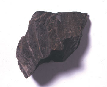
The Lledr Valley () is a valley in Snowdonia in north Wales. It runs from the top of the Crimea Pass, north of Blaenau Ffestiniog down to Betws-y-Coed. The A470 road follows the line of the valley, as does the railway line from Blaenau Ffestiniog to Llandudno, and within the valley there are stations at Roman Bridge, Dolwyddelan, and Pont-y-Pant. Dolwyddelan is the main settlement in the valley. The river Lledr, which gives its name to the valley, joins the River Conwy to the south of Betws-y-Coed. Industry During the Victorian period the valley was renowned for its slate quarries, which were concentrated around Dolwyddelan. These quarries worked the Nod Glas Formation, which extended across Mid and North Wales. It was primarily a bed of soft, black shale, but in the area of the Dolwyddelan syncline it was partially metamorphisised into slate. The principle quarries in the valley were: * Prince Llewellyn quarry and Chwarel Fedw * Chwarel Ddu * Ty'n-y-bryn quarry and ... [...More Info...] [...Related Items...] OR: [Wikipedia] [Google] [Baidu] |
River Lledr
The ( en, River Lledr, italic=yes) is a river in north-west Wales and the second major tributary of the River Conwy. It is about 10 miles or 16 km long, and flows in a generally easterly direction. The has its source on the eastern slopes of , which lies about 3 km NE of . It initially flows in a north-easterly direction towards , where joins it, then flows under the Roman Bridge ( cy, Pont-y-Sarn-Ddu) and past , where joins it. It continues to the north-east past and then east along the Valley, running parallel to the A470 and the railway line from to . This line has stations in the Valley at Roman Bridge The ancient Romans were the first civilization to build large, permanent bridges. Early Roman bridges used techniques introduced by Etruscan immigrants, but the Romans improved those skills, developing and enhancing methods such as arches and ke ..., , and . The river joins the River Conwy to the south of . References {{Authority control Ri ... [...More Info...] [...Related Items...] OR: [Wikipedia] [Google] [Baidu] |
Ty'n-y-bryn Quarry
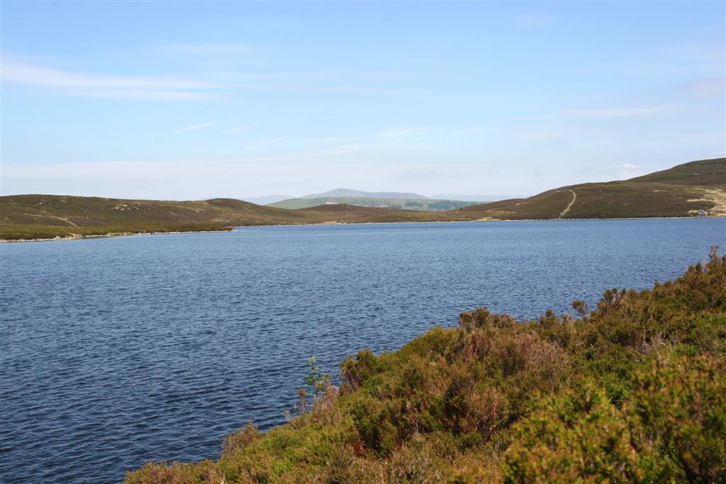
Ty'n-y-bryn quarry (also known as Bwlch y Llan quarry or Lledr Vale quarry) was a slate quarry that was worked from the 1840s to about 1914. It stands on the south-east edge of Dolwyddelan. History The original workings at Ty'n-y-bryn were started in the 1840s. In 1861, the quarry was restarted and a large mill was built just behind the Pentre-bont houses on the edge of Dolwyddelan. The mill had a large waterwheel which was fed from the Llyn Cwm-penamnen reservoir about to the south. In 1875, the Penllyn quarry was taken over by the company. Penllyn had been worked on a small scale since at least 1873, and was immediately to the east of Ty'n-y-bryn. The Ty'n-y-bryn mill processed slate from both quarries. In 1879, an incline was built down from the mill level to exchange sidings at Dolwyddelan railway station. Unusually, the incline was laid as standard gauge, allowing wagons from the London and North Western Railway to be taken up to the mill. It was one of only four sl ... [...More Info...] [...Related Items...] OR: [Wikipedia] [Google] [Baidu] |
Chwarel Ddu
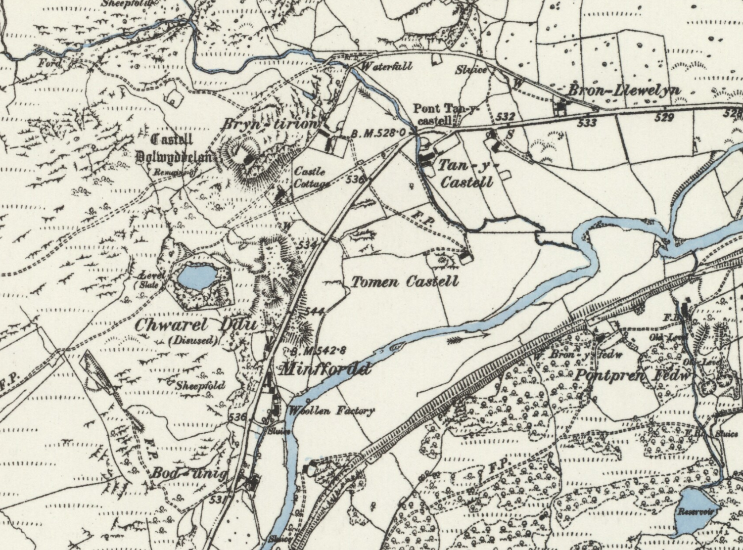
Chwarel Ddu quarry was the earliest slate quarry in the Lledr Valley. It was working before 1810, and continued in sporadic operation until the late 1920s. It is about west of Dolwyddelan, just beneath Dolwyddelan Castle. History The quarry is believed to have opened between 1800 and 1805. In 1810, the quarry was successful enough that the Gwydir Estate, who owned the land on which the quarry sat, constructed a cart road from the quarry to the Holyhead Road at Conwy. This now forms part of the A470. Despite this early success, the quarry only operated for short periods over the next few decade. For several years in the late 1850s, it produced significant amounts of slate, up to 700 tones per year. At this time a stationary steam engine was used to haul rock up from the open pit. By 1888 it was once more closed. There was an attempt to re-open the quarry during the 1920s, and an oil engine was installed to replace the steam engine. A small number of quarrymen were employed, ... [...More Info...] [...Related Items...] OR: [Wikipedia] [Google] [Baidu] |
Prince Llewellyn Quarry
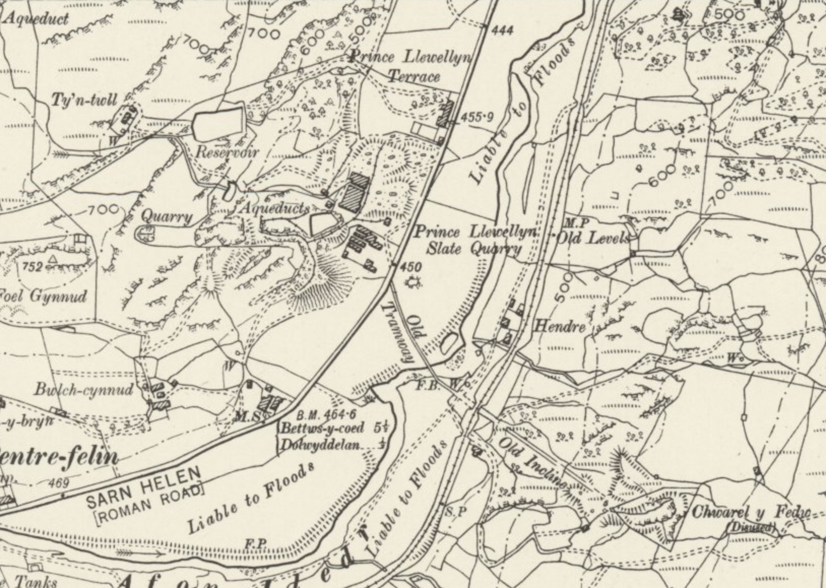
The Prince Llewellyn quarry (also known as Bwlch Cynnud quarry, Y Foel quarry, Hendre Ddu quarry, or Prince Llywelyn quarry) was a slate quarry that stands on the west side of the Lledr Valley, ENE of Dolwyddelan. It was worked from around 1820 to 1934. History Early years The quarry opened around 1820, and was originally an open pit. The quarry was expanded in the 1840s. The road from Betws-y-Coed to Dolwyddelan was re-routed in 1846 to allow construction of a new quarry mill and Prince Llewelyn Terrace to house quarry workers. The new mill contained four horizontal sandsaws driven by a steam engine, which was later replaced with a waterwheel. An incline led down from the pit to the mill level. Chwarel Fedw In 1873, the quarry was owned by John Jones and employed about 40 men. The quarry was worked in conjunction with Chwarel Fedw on the east side of the valley. A tramway was built across the Afon Lledr to connect the two quarries and slate from Chwarel Fedw was taken ac ... [...More Info...] [...Related Items...] OR: [Wikipedia] [Google] [Baidu] |
Slate
Slate is a fine-grained, foliated, homogeneous metamorphic rock derived from an original shale-type sedimentary rock composed of clay or volcanic ash through low-grade regional metamorphism. It is the finest grained foliated metamorphic rock. Foliation may not correspond to the original sedimentary layering, but instead is in planes perpendicular to the direction of metamorphic compression. The foliation in slate is called "slaty cleavage". It is caused by strong compression causing fine grained clay flakes to regrow in planes perpendicular to the compression. When expertly "cut" by striking parallel to the foliation, with a specialized tool in the quarry, many slates will display a property called fissility, forming smooth flat sheets of stone which have long been used for roofing, floor tiles, and other purposes. Slate is frequently grey in color, especially when seen, en masse, covering roofs. However, slate occurs in a variety of colors even from a single locality; for ex ... [...More Info...] [...Related Items...] OR: [Wikipedia] [Google] [Baidu] |
Metamorphism
Metamorphism is the transformation of existing rock (the protolith) to rock with a different mineral composition or texture. Metamorphism takes place at temperatures in excess of , and often also at elevated pressure or in the presence of chemically active fluids, but the rock remains mostly solid during the transformation. Metamorphism is distinct from weathering or diagenesis, which are changes that take place at or just beneath Earth's surface. Various forms of metamorphism exist, including regional, contact, hydrothermal, shock, and dynamic metamorphism. These differ in the characteristic temperatures, pressures, and rate at which they take place and in the extent to which reactive fluids are involved. Metamorphism occurring at increasing pressure and temperature conditions is known as ''prograde metamorphism'', while decreasing temperature and pressure characterize ''retrograde metamorphism''. Metamorphic petrology is the study of metamorphism. Metamorphic petrologists re ... [...More Info...] [...Related Items...] OR: [Wikipedia] [Google] [Baidu] |
Syncline
In structural geology, a syncline is a fold with younger layers closer to the center of the structure, whereas an anticline is the inverse of a syncline. A synclinorium (plural synclinoriums or synclinoria) is a large syncline with superimposed smaller folds. Synclines are typically a downward fold (synform), termed a synformal syncline (i.e. a trough), but synclines that point upwards can be found when strata have been overturned and folded (an antiformal syncline). Characteristics On a geologic map, synclines are recognized as a sequence of rock layers, with the youngest at the fold's center or ''hinge'' and with a reverse sequence of the same rock layers on the opposite side of the hinge. If the fold pattern is circular or elongate, the structure is a basin. Folds typically form during crustal deformation as the result of compression that accompanies orogenic mountain building. Notable examples * Powder River Basin, Wyoming, US * Sideling Hill roadcut along Interstate ... [...More Info...] [...Related Items...] OR: [Wikipedia] [Google] [Baidu] |
Shale
Shale is a fine-grained, clastic sedimentary rock formed from mud that is a mix of flakes of clay minerals (hydrous aluminium phyllosilicates, e.g. kaolin, Al2 Si2 O5( OH)4) and tiny fragments (silt-sized particles) of other minerals, especially quartz and calcite.Blatt, Harvey and Robert J. Tracy (1996) ''Petrology: Igneous, Sedimentary and Metamorphic'', 2nd ed., Freeman, pp. 281–292 Shale is characterized by its tendency to split into thin layers ( laminae) less than one centimeter in thickness. This property is called '' fissility''. Shale is the most common sedimentary rock. The term ''shale'' is sometimes applied more broadly, as essentially a synonym for mudrock, rather than in the more narrow sense of clay-rich fissile mudrock. Texture Shale typically exhibits varying degrees of fissility. Because of the parallel orientation of clay mineral flakes in shale, it breaks into thin layers, often splintery and usually parallel to the otherwise indistinguishable beddin ... [...More Info...] [...Related Items...] OR: [Wikipedia] [Google] [Baidu] |
Nod Glas Formation
The Nod Glas Formation (also known as the Nod Glas Black Shale, the Cadnant Shale, the Penarwel Mudstones or just Nod Glas) is an Ordovician lithostratigraphic group (a sequence of rock strata) in Mid Wales. The rock of the formation is made up of pyritous, graptolitic mudstone that is generally black in colour. It weathers to a soft, very well cleaved and coal-like material. The formation runs from Conwy in the north, down to Cardigan Bay in the area around Aberdyfi and Tywyn, though it is not a continuous over this area. The formation is the topmost of the Caradoc Series in North Wales, and the name refers to all the black shale beds in the area. In South Wales, the equivalent beds of shale are called the Dicranograptus Shales. North Wales Between Tywyn and Aberllefenni the Nod Glas Formation is about thick. The section between Aberllefenni and Aberangell is the type locality for the formation. North of Corris, towards Bwlch y Groes, the formation gradually thins and ceases ... [...More Info...] [...Related Items...] OR: [Wikipedia] [Google] [Baidu] |
Slate Quarry
The slate industry is the industry related to the extraction and processing of slate. Slate is either quarried from a ''slate quarry'' or reached by tunneling in a ''slate mine''. Common uses for slate include as a roofing material, a flooring material, gravestones and memorial tablets, and for electrical insulation. Slate mines are found around the world. 90% of Europe's natural slate used for roofing originates from the Slate Industry in Spain.European Association of Mining Industries website retrieved on 26/01/2010 The major slate mining region in the United Kingdom is ; in |
River Conwy
, name_etymology = , image = Boats in River Conwy.jpg , image_size = 300 , image_caption = Boats in the river estuary at Conwy , map = , map_size = , map_caption = , pushpin_map = , pushpin_map_size = , pushpin_map_caption= , subdivision_type1 = Country , subdivision_name1 = Wales , subdivision_type2 = , subdivision_name2 = , subdivision_type3 = , subdivision_name3 = , subdivision_type4 = District , subdivision_name4 = County Borough of Conwy , subdivision_type5 = City , subdivision_name5 = Conwy , length = , width_min = , width_avg = , width_max = , depth_min = , depth_avg = , depth_max = , discharge1_location= Cwm Llanerch , discharge1_min = , discharge1_avg = , discharge1_max = , source1 = , source1_location = Migneint moor where a number of small s ... [...More Info...] [...Related Items...] OR: [Wikipedia] [Google] [Baidu] |


.png)


