|
Latchmere Recreation Ground, Battersea
Latchmere Recreation Ground or Latchmere Park is a public open space with a children's playground in Battersea in the London Borough of Wandsworth. It is located approximately south of the far larger Battersea Park and the River Thames beyond. It is bounded by Burns Road to the south and Reform Street to the east and north. The former ''Latchmere School'' site, converted to housing in 1996, forms the eastern boundary. Latchmere Recreation Ground is a slightly humped, quadrilateral-shaped area mostly laid out to amenity grass with trees and intermittent shrub beds around the perimeter and specimen trees in the interior. The park is surrounded by low metal railing fencing. Pedestrian access is via gateways opposite St James' Grove mid-way on the northern side which leads via a wide footpath to another due south on Burns Road. This footpath is designated as a public highway. Another footpath with vehicle access has its entrance on Reform Street on the eastern side. This path inte ... [...More Info...] [...Related Items...] OR: [Wikipedia] [Google] [Baidu] |
Battersea
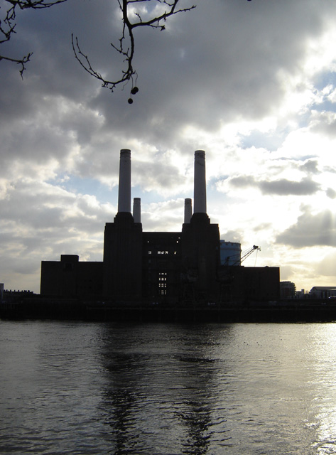
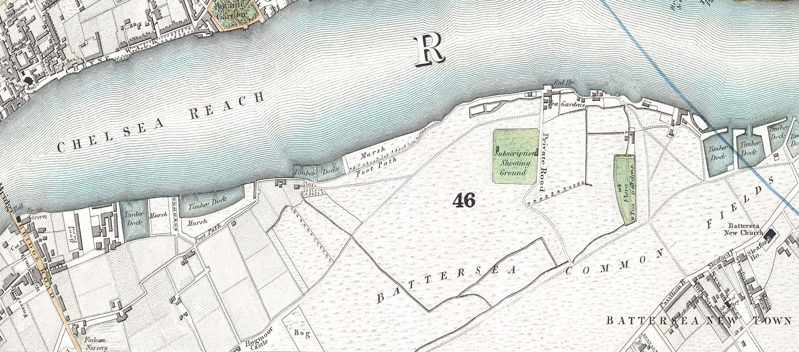
Battersea is a large district in south London, part of the London Borough of Wandsworth, England. It is centred southwest of Charing Cross and extends along the south bank of the River Thames. It includes the Battersea Park. History Battersea is mentioned in the few surviving Anglo-Saxon geographical accounts as ''Badrices īeg'' meaning "Badric's Island" and later "Patrisey". As with many former parishes beside tidal flood plains the lowest land was reclaimed for agriculture by draining marshland and building culverts for streams. Alongside this was the Heathwall tide mill in the north-east with a very long mill pond regularly draining and filling to the south. The settlement appears in the Domesday Book of 1086 as ''Patricesy'', a vast manor held by St Peter's Abbey, Westminster. Its ''Domesday'' Assets were: 18 hides and 17 ploughlands of cultivated land; 7 mills worth £42 9s 8d per year, of meadow, woodland worth 50 hogs. It rendered (in total): £75 9s 8d. The p ... [...More Info...] [...Related Items...] OR: [Wikipedia] [Google] [Baidu] |
London Borough Of Wandsworth
Wandsworth () is a London boroughs, London borough in southwest London; it forms part of Inner London and has an estimated population of 329,677 inhabitants. Its main named areas are Battersea, Balham, Putney, Tooting and Wandsworth, Wandsworth Town. The borough borders the London Borough of Lambeth to the east, the London Borough of Merton and the Royal Borough of Kingston upon Thames to the south, the London Borough of Richmond upon Thames to the west, and to the north (across the River Thames) three boroughs, namely the London Borough of Hammersmith and Fulham, the Royal Borough of Kensington and Chelsea and the City of Westminster. The local authority is Wandsworth London Borough Council. History Until 1889, the current area of Wandsworth was part of the county of Surrey. In 1855 the Wandsworth District (Metropolis), Wandsworth District of the Metropolis was formed comprising the parishes of Battersea (excluding Penge), Clapham, Putney, Streatham, Tooting Graveney and Wandsw ... [...More Info...] [...Related Items...] OR: [Wikipedia] [Google] [Baidu] |
Battersea Park
Battersea Park is a 200-acre (83-hectare) green space at Battersea in the London Borough of Wandsworth in London. It is situated on the south bank of the River Thames opposite Chelsea and was opened in 1858. The park occupies marshland reclaimed from the Thames and land formerly used for market gardens. The park is Grade II* listed on the Register of Historic Parks and Gardens. History Prior to 1846, the area now covered by the park was known as Battersea fields, a popular spot for duelling. On 21 March 1829, the Duke of Wellington and the Earl of Winchilsea met on Battersea fields to settle a matter of honour. When it came time to fire, the duke aimed his duelling pistol wide and Winchilsea fired his into the air. Winchilsea later wrote the duke a groveling apology. Separated from the river by a narrow raised causeway, the fields consisted of low, fertile marshes intersected by streams and ditches with the chief crops being carrots, melons, lavender (all the way up to Lave ... [...More Info...] [...Related Items...] OR: [Wikipedia] [Google] [Baidu] |
River Thames
The River Thames ( ), known alternatively in parts as the The Isis, River Isis, is a river that flows through southern England including London. At , it is the longest river entirely in England and the Longest rivers of the United Kingdom, second-longest in the United Kingdom, after the River Severn. The river rises at Thames Head in Gloucestershire, and flows into the North Sea near Tilbury, Essex and Gravesend, Kent, via the Thames Estuary. From the west it flows through Oxford (where it is sometimes called the Isis), Reading, Berkshire, Reading, Henley-on-Thames and Windsor, Berkshire, Windsor. The Thames also drains the whole of Greater London. In August 2022, the source of the river moved five miles to beyond Somerford Keynes due to the heatwave in July 2022. The lower reaches of the river are called the Tideway, derived from its long tidal reach up to Teddington Lock. Its tidal section includes most of its London stretch and has a rise and fall of . From Oxford to th ... [...More Info...] [...Related Items...] OR: [Wikipedia] [Google] [Baidu] |
Public Highway
A highway is any public or private road or other public way on land. It is used for major roads, but also includes other public roads and public tracks. In some areas of the United States, it is used as an equivalent term to controlled-access highway, or a translation for ''autobahn'', '' autoroute'', etc. According to Merriam Webster, the use of the term predates the 12th century. According to Etymonline, "high" is in the sense of "main". In North American and Australian English, major roads such as controlled-access highways or arterial roads are often state highways (Canada: provincial highways). Other roads may be designated "county highways" in the US and Ontario. These classifications refer to the level of government (state, provincial, county) that maintains the roadway. In British English, "highway" is primarily a legal term. Everyday use normally implies roads, while the legal use covers any route or path with a public right of access, including footpaths etc. The ... [...More Info...] [...Related Items...] OR: [Wikipedia] [Google] [Baidu] |
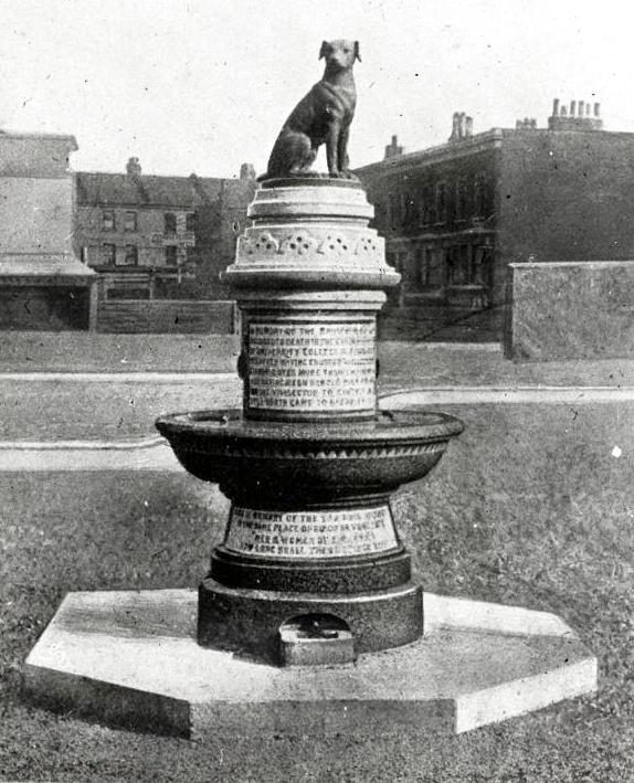
Brown Dog Statue, Battersea, London
Brown is a color. It can be considered a composite color, but it is mainly a darker shade of orange. In the CMYK color model used in printing or painting, brown is usually made by combining the colors orange and black. In the RGB color model used to project colors onto television screens and computer monitors, brown combines red and green. The color brown is seen widely in nature, wood, soil, human hair color, eye color and skin pigmentation. Brown is the color of dark wood or rich soil. According to public opinion surveys in Europe and the United States, brown is the least favorite color of the public; it is often associated with plainness, the rustic, feces, and poverty. More positive associations include baking, warmth, wildlife, and the autumn. Etymology The term is from Old English , in origin for any dusky or dark shade of color. The first recorded use of ''brown'' as a color name in English was in 1000. The Common Germanic adjectives ''*brûnoz and *brûnâ'' meant both ... [...More Info...] [...Related Items...] OR: [Wikipedia] [Google] [Baidu] |
Common Land
Common land is land owned by a person or collectively by a number of persons, over which other persons have certain common rights, such as to allow their livestock to graze upon it, to collect Wood fuel, wood, or to cut turf for fuel. A person who has a right in, or over, common land jointly with another or others is usually called a commoner. In the New Forest, the New Forest Commoner is recognised as a minority cultural identity as well as an agricultural vocation, and members of this community are referred to as Commoners. In Great Britain, common land or former common land is usually referred to as a common; for instance, Clapham Common and Mungrisdale Common. Due to enclosure, the extent of common land is now much reduced from the millions of acres that existed until the 17th century, but a considerable amount of common land still exists, particularly in upland areas. There are over 8,000 registered commons in England alone. Origins Originally in medieval England the co ... [...More Info...] [...Related Items...] OR: [Wikipedia] [Google] [Baidu] |
Allotment (gardening)
An allotment (British English), or in North America, a community garden, is a plot of land made available for individual, non-commercial gardening or growing food plants, so forming a kitchen garden away from the residence of the user. Such plots are formed by subdividing a piece of land into a few or up to several hundred parcels that are assigned to individuals or families. Such parcels are cultivated individually, contrary to other community garden types where the entire area is tended collectively by a group of people. In countries that do not use the term "allotment (garden)", a "community garden" may refer to individual small garden plots as well as to a single, large piece of land gardened collectively by a group of people. The term "victory garden" is also still sometimes used, especially when a community garden dates back to the First or Second World War. The individual size of a parcel typically suits the needs of a family, and often the plots include a shed for tools a ... [...More Info...] [...Related Items...] OR: [Wikipedia] [Google] [Baidu] |
Vestry
A vestry was a committee for the local secular and ecclesiastical government for a parish in England, Wales and some English colonies which originally met in the vestry or sacristy of the parish church, and consequently became known colloquially as the "vestry". Overview For many centuries, in the absence of any other authority (which there would be in an incorporated city or town), the vestries were the sole ''de facto'' local government in most of the country, and presided over local, communal fundraising and expenditure until the mid or late 19th century using local established Church chairmanship. They were concerned for the spiritual but also the temporal as well as physical welfare of parishioners and its parish amenities, collecting local rates or taxes and taking responsibility for numerous functions such as the care of the poor, the maintaining of roads, and law enforcement, etc. More punitive matters were dealt with by the manorial court and hundred court, and latter ... [...More Info...] [...Related Items...] OR: [Wikipedia] [Google] [Baidu] |
Latchmere Estate
Latchmere Estate is a housing estate in Battersea, Greater London, which was constructed in 1903. It is the first example of a housing estate built with labour directly employed by a local council authority. Between 1832 and the 1880s, Battersea's population increased from 5,500 to 107,000, meaning new housing needed to be constructed. The land used for the estate had previously been allotments for the poor, but with the new need for housing, this was no longer considered a productive use of space. In the 1890s, John Burns, the MP for Battersea, secured acts of parliament allowing for the construction of the estate on the former Latchmere Common. A design competition was held which attracted 58 entries in 1901, and construction began soon after. For the time, the estate contained things like electric lighting and combined ranges which were considered luxuries. Opening the estate, the Mayor declared that, "The dwellings were novel of their kind, containing as they did what had ... [...More Info...] [...Related Items...] OR: [Wikipedia] [Google] [Baidu] |
John Burns
John Elliot Burns (20 October 1858 – 24 January 1943) was an English trade unionist and politician, particularly associated with London politics and Battersea. He was a socialist and then a Liberal Member of Parliament and Minister. He was anti-alcohol and a keen sportsman. When the Liberal cabinet made a decision for war on 2 August 1914, he resigned and played no further role in politics. After retiring from politics, he developed an expertise in London history and coined the phrase "The Thames is liquid history". Early life Burns was born in London in 1858, the son of Alexander Burns, a Scottish fitter, growing up with his railwayman father in a house at 80 Grant Road, Battersea on what is now the Winstanley and York Road Estates. He attended a national school in Battersea until he was ten years old. He then had a succession of jobs until he was fourteen years old and started a seven-year apprenticeship to an engineer at Millbank and continued his education at night-sc ... [...More Info...] [...Related Items...] OR: [Wikipedia] [Google] [Baidu] |
Wandsworth Common
Wandsworth Common is a public common in Wandsworth, in the London Borough of Wandsworth, south London. It is and is maintained and regulated by Wandsworth Council. It is also a Ward of the London Borough of Wandsworth. The population of the ward at the 2011 Census was 15,247. Amenities There are a number of ponds and a lake, which can be used for fishing (with a permit). The lake is partially fenced off for the benefit of bird life, while other areas feature wooden pedestrian board walks, or open water's edge access. A small brick bridge crosses over the lake's waters at one point, connecting two pedestrian pathways. A railway line running between Clapham Junction and Wandsworth Common railway stations broadly divides the common into two strips, west and east. A footbridge crosses the railway approximately halfway along the length of the open part of the common. To the east of the railway line there is a large area which is mainly used for competitive sports (mostly football, to ... [...More Info...] [...Related Items...] OR: [Wikipedia] [Google] [Baidu] |


.jpg)


