|
Large Burgh
Large burgh was a type of municipal structure in Scotland, which existed from 1930 to 1975. In 1930, the Scottish burghs were split into two types, large and small burghs. The councils of large burghs had more responsibilities and power than those of small burghs. All burghs in Scotland were abolished in 1975 and replaced with the uniform system of districts and regions, which is itself now defunct. (See Subdivisions of Scotland for the modern units of local government in the country.) The large burghs were: * Airdrie *Arbroath *Ayr *Clydebank *Coatbridge *Dumbarton *Dumfries *Dunfermline *East Kilbride *Falkirk *Greenock *Hamilton *Inverness * Kilmarnock *Kirkcaldy *Motherwell and Wishaw * Paisley *Perth *Port Glasgow *Rutherglen *Stirling See also *Local Government (Scotland) Act 1929 *Local Government (Scotland) Act 1947 The Local Government (Scotland) Act 1947 (10 & 11 Geo. 6 c. 65) is an Act of the Parliament of the United Kingdom, that reformed local government ... [...More Info...] [...Related Items...] OR: [Wikipedia] [Google] [Baidu] |
Burgh
A burgh is an autonomous municipal corporation in Scotland and Northern England, usually a city, town, or toun in Scots. This type of administrative division existed from the 12th century, when King David I created the first royal burghs. Burgh status was broadly analogous to borough status, found in the rest of the United Kingdom. Following local government reorganisation in 1975, the title of "royal burgh" remains in use in many towns, but now has little more than ceremonial value. History The first burgh was Berwick. By 1130, David I (r. 1124–53) had established other burghs including Edinburgh, Stirling, Dunfermline, Haddington, Perth, Dumfries, Jedburgh, Montrose and Lanark. Most of the burghs granted charters in his reign probably already existed as settlements. Charters were copied almost verbatim from those used in England, and early burgesses usually invited English and Flemish settlers.A. MacQuarrie, ''Medieval Scotland: Kinship and Nation'' (Thrupp: Sutton, ... [...More Info...] [...Related Items...] OR: [Wikipedia] [Google] [Baidu] |
Dunfermline
Dunfermline (; sco, Dunfaurlin, gd, Dùn Phàrlain) is a city, parish and former Royal Burgh, in Fife, Scotland, on high ground from the northern shore of the Firth of Forth. The city currently has an estimated population of 58,508. According to the National Records of Scotland, the Greater Dunfermline area has a population of 76,210. The earliest known settlements in the area around Dunfermline probably date as far back as the Neolithic period. The area was not regionally significant until at least the Bronze Age. The town was first recorded in the 11th century, with the marriage of Malcolm III, King of Scots, and Saint Margaret at the church in Dunfermline. As his Queen consort, Margaret established a new church dedicated to the Holy Trinity, which evolved into an Abbey under their son, David I in 1128. During the reign of Alexander I, the church – later to be known as Dunfermline Abbey – was firmly established as a prosperous royal mausoleum for the Scottish C ... [...More Info...] [...Related Items...] OR: [Wikipedia] [Google] [Baidu] |
Rutherglen
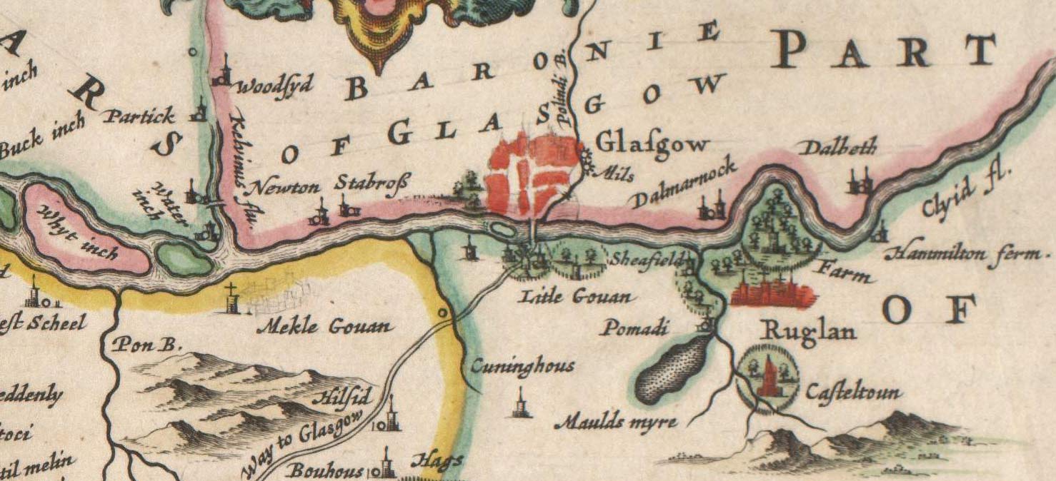
Rutherglen (, sco, Ruglen, gd, An Ruadh-Ghleann) is a town in South Lanarkshire, Scotland, immediately south-east of the city of Glasgow, from its centre and directly south of the River Clyde. Having existed as a Lanarkshire burgh in its own right for more than 800 years, in 1975 Rutherglen lost its own local council and administratively became a component of the City of Glasgow District within the Strathclyde region (along with neighbouring Cambuslang). In 1996 the towns were reallocated to the South Lanarkshire council area.From a pawnbrokers to Parliament - Tommy McAvoy looks back on a career that took him to the House of Lords Marc McLean, Daily Record, 11 September 2018. Retrieved 1 January ... [...More Info...] [...Related Items...] OR: [Wikipedia] [Google] [Baidu] |
Port Glasgow
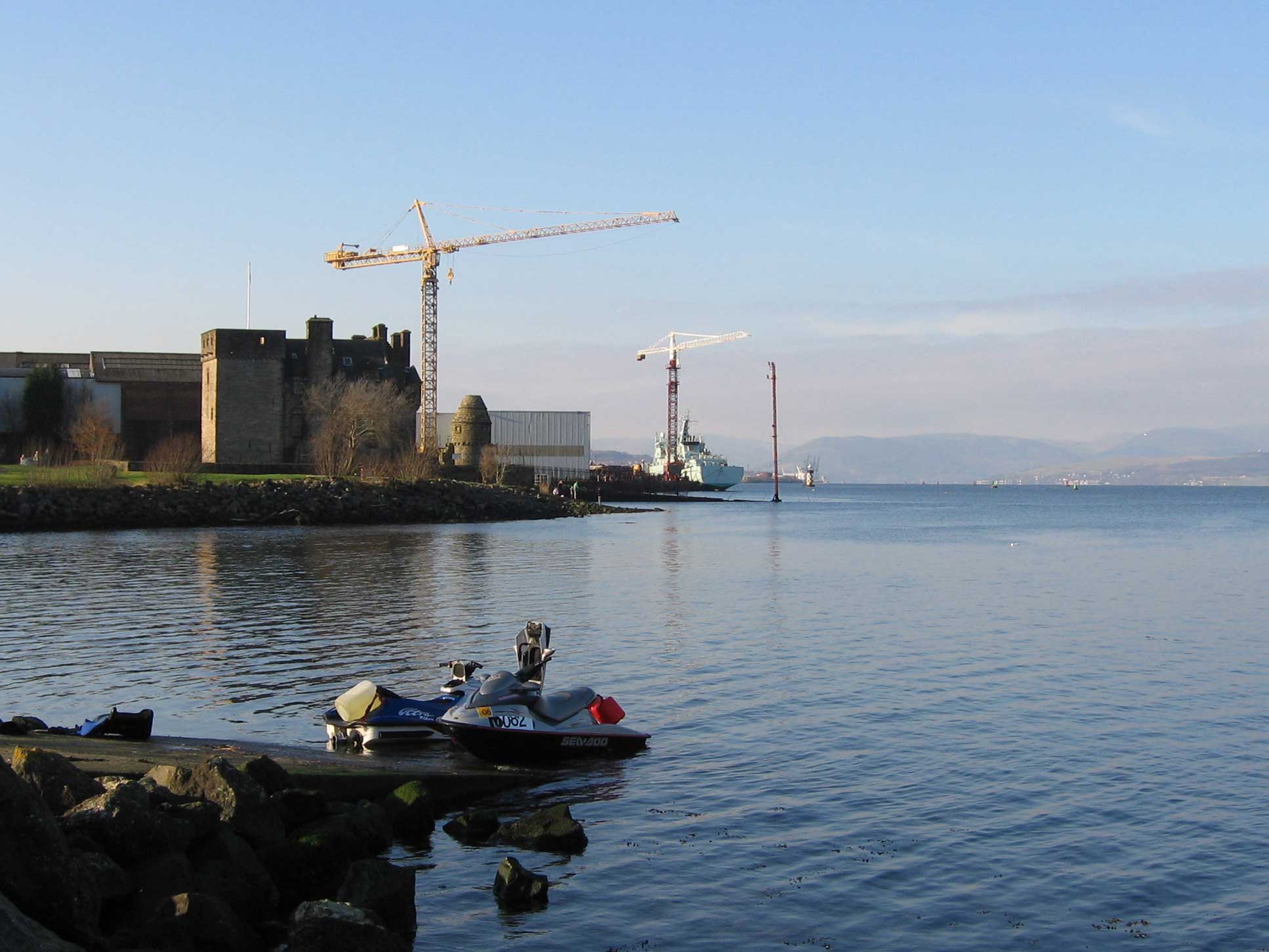
Port Glasgow ( gd, Port Ghlaschu, ) is the second-largest town in the Inverclyde council area of Scotland. The population according to the 1991 census for Port Glasgow was 19,426 persons and in the 2001 census was 16,617 persons. The most recent census in 2011 states that the population has declined to 15,414. It is located immediately to the east of Greenock and was previously a burgh in the county of Renfrewshire. Originally a fishing hamlet named Newark, Port Glasgow came about as a result of large ships being unable to navigate the shallow and meandering River Clyde to the centre of the city of Glasgow. As a result, it was formed as a remote port for Glasgow in 1668, and became known as 'New Port Glasgow', which was shortened to 'Port Glasgow' in 1775. Port Glasgow was home to dry docks and shipbuilding beginning in 1780. The town grew from the central area of the present town and thus many of the town's historic buildings and people are found here. Port Glasgow expande ... [...More Info...] [...Related Items...] OR: [Wikipedia] [Google] [Baidu] |
Perth, Scotland
Perth (Scottish English, locally: ; gd, Peairt ) is a city in central Scotland, on the banks of the River Tay. It is the administrative centre of Perth and Kinross council area and the historic county town of Perthshire. It had a population of about 47,430 in 2018. There has been a settlement at Perth since prehistory, prehistoric times. It is a natural mound raised slightly above the flood plain of the Tay, at a place where the river could be crossed on foot at low tide. The area surrounding the modern city is known to have been occupied ever since Mesolithic hunter-gatherers arrived there more than 8,000 years ago. Nearby Neolithic standing stones and circles date from about 4,000 BC, a period that followed the introduction of farming into the area. Close to Perth is Scone Abbey, which formerly housed the Stone of Scone (also known as the Stone of Destiny), on which the King of Scots were traditionally crowned. This enhanced the early importance of the city, and Perth becam ... [...More Info...] [...Related Items...] OR: [Wikipedia] [Google] [Baidu] |
Paisley, Renfrewshire
Paisley ( ; sco, Paisley, gd, Pàislig ) is a large town situated in the west central Lowlands of Scotland. Located north of the Gleniffer Braes, the town borders the city of Glasgow to the east, and straddles the banks of the White Cart Water, a tributary of the River Clyde. Paisley serves as the administrative centre for the Renfrewshire council area, and is the largest town in the historic county of the same name. It is often cited as "Scotland's largest town" and is the fifth largest settlement in the country, although it does not have city status. The town became prominent in the 12th century, with the establishment of Paisley Abbey, an important religious hub which formerly had control over other local churches. By the 19th century, Paisley was a centre of the weaving industry, giving its name to the Paisley shawl and the Paisley pattern. The town's associations with political radicalism were highlighted by its involvement in the Radical War of 1820, wit ... [...More Info...] [...Related Items...] OR: [Wikipedia] [Google] [Baidu] |
Wishaw
Wishaw ( sco, Wishae or Wisha ; gd, Camas Neachdain) is a large town in North Lanarkshire, Scotland, on the edge of the Clyde Valley, south-east of Glasgow city centre. The Burgh of Wishaw was formed in 1855 within Lanarkshire. it formed a joint large burgh with its neighbour Motherwell from 1920 until its dissolution when Scottish local authorities were restructured in 1975, and was then in Motherwell district within the Strathclyde region until 1996. The town is part of the Motherwell and Wishaw constituency. It has the postal code of ML2 and the dialling code 01698. Geography and climate Wishaw lies within North Lanarkshire, the fourth largest local authority in Scotland by population. The town is located in the relatively level Central Belt area; while there are valleys and high moors, there are no hills or summits over 1,640 feet. The defined "locality" of Wishaw had a population of 30,290 in 2016, the 26th largest such place in the country. Along with its ... [...More Info...] [...Related Items...] OR: [Wikipedia] [Google] [Baidu] |
Motherwell, Scotland
Motherwell ( sco, Mitherwall, gd, Tobar na Màthar) is a town and former burgh in North Lanarkshire, Scotland, United Kingdom, south east of Glasgow. It has a population of around 32,120. Historically in the parish of Dalziel and part of Lanarkshire, Motherwell is the headquarters for North Lanarkshire Council. Geographically the River Clyde separates Motherwell from Hamilton to the west whereas the South Calder Water separates Motherwell from Carfin to the north-east and New Stevenston and Bellshill towards the north. Motherwell is also geographically attached to Wishaw and the two towns form a large urban area in North Lanarkshire, with both towns having similar populations and strong community ties. History A Roman road through central Scotland ran along Motherwell's side of the River Clyde, crossing the South Calder Water near Bothwellhaugh. At this crossing a fort and bath house were erected, but the Roman presence in Scotland did not last much later than thi ... [...More Info...] [...Related Items...] OR: [Wikipedia] [Google] [Baidu] |
Kirkcaldy
Kirkcaldy ( ; sco, Kirkcaldy; gd, Cair Chaladain) is a town and former royal burgh in Fife, on the east coast of Scotland. It is about north of Edinburgh and south-southwest of Dundee. The town had a recorded population of 49,460 in 2011, making it Fife's second-largest settlement and the 12th most populous settlement in Scotland. Kirkcaldy has long been nicknamed the Lang Toun (; Scots for "long town") in reference to the early town's main street, as indicated on maps from the 16th and 17th centuries. The street would finally reach a length of nearly , connecting the burgh to the neighbouring settlements of Linktown, Pathhead, Sinclairtown and Gallatown, which became part of the town in 1876. The formerly separate burgh of Dysart was also later absorbed into Kirkcaldy in 1930 under an act of Parliament. The area around Kirkcaldy has been inhabited since the Bronze Age. The first document to refer to the town is from 1075, when Malcolm III granted the settlemen ... [...More Info...] [...Related Items...] OR: [Wikipedia] [Google] [Baidu] |
Kilmarnock
Kilmarnock (, sco, Kilmaurnock; gd, Cill Mheàrnaig (IPA:[kʰʲɪʎˈveaːɾnəkʲ]), "Marnock's church") is a large town and former burgh in East Ayrshire, Scotland and is the administrative centre of East Ayrshire, East Ayrshire Council. With a population of 46,770, Kilmarnock is the List of towns and cities in Scotland by population, 14th most populated settlement in Scotland and the largest town in Ayrshire. The town is continuous to nearby neighbouring villages Crookedholm and Hurlford to the east, and Kilmaurs to the west of the town. It includes former villages subsumed by the expansion of the town such as Bonnyton, East Ayrshire, Bonnyton and new purpose built suburbs such as New Farm Loch. The town and the surrounding Greater Kilmarnock area is home to 32 Listed building, listed buildings and structures designated by Historic Environment Scotland. The River Irvine runs through the eastern section of Kilmarnock, and the River Irvine, Kilmarnock Water passes through ... [...More Info...] [...Related Items...] OR: [Wikipedia] [Google] [Baidu] |
Inverness
Inverness (; from the gd, Inbhir Nis , meaning "Mouth of the River Ness"; sco, Innerness) is a city in the Scottish Highlands. It is the administrative centre for The Highland Council and is regarded as the capital of the Highlands. Historically it served as the county town of the county of Inverness-shire. Inverness lies near two important battle sites: the 11th-century battle of Blàr nam Fèinne against Norway which took place on the Aird, and the 18th century Battle of Culloden which took place on Culloden Moor. It is the northernmost city in the United Kingdom and lies within the Great Glen (Gleann Mòr) at its northeastern extremity where the River Ness enters the Beauly Firth. At the latest, a settlement was established by the 6th century with the first royal charter being granted by Dabíd mac Maíl Choluim (King David I) in the 12th century. Inverness and Inverness-shire are closely linked to various influential clans, including Clan Mackintosh, Clan Fraser an ... [...More Info...] [...Related Items...] OR: [Wikipedia] [Google] [Baidu] |
Hamilton, South Lanarkshire
Hamilton ( sco, Hamiltoun; gd, Baile Hamaltan ) is a large town in South Lanarkshire, Scotland. It serves as the main administrative centre of the South Lanarkshire council area. It sits south-east of Glasgow, south-west of Edinburgh and north of Carlisle. It is situated on the south bank of the River Clyde at its confluence with the Avon Water. Hamilton is the county town of the historic county of Lanarkshire and is the location of the headquarters of the modern local authority of South Lanarkshire. The town itself has a population of around 55,000, which makes it the 8th largest settlement in Scotland. It forms a large urban area with nearby towns of Blantyre, Motherwell, Larkhall and Wishaw. History The town of Hamilton was originally known as Cadzow or CadyouHamilton's royal ... [...More Info...] [...Related Items...] OR: [Wikipedia] [Google] [Baidu] |


