|
Lost Provinces
The Lost Provinces were relatively inaccessible regions of North Carolina in the 19th and early 20th centuries, under-served by roads and railroads. In the mountainous northwest corner of the state, west of the Eastern Continental Divide. Ashe, Alleghany and Watauga counties in the New River basin were cut off from the rest of the state by the high Blue Ridge Mountains. The area's mountainous topography caused these counties to be most closely connected to Smyth and Grayson counties in Virginia, and to Johnson and Carter counties in Tennessee. The first highway to connect the area to points east was the Blowing Rock Turnpike. Started in 1911, it ran to Lenoir in Caldwell County. In 1914 a railroad was built to connect Ashe County to Abingdon, Virginia. After 1921 North Carolina Highway 16 connected Ashe County to Wilkesboro. Other references to "lost provinces" of North Carolina have been applied to eastern counties north of the Albemarle Sound that had historically related mor ... [...More Info...] [...Related Items...] OR: [Wikipedia] [Google] [Baidu] |
North Carolina
North Carolina () is a state in the Southeastern region of the United States. The state is the 28th largest and 9th-most populous of the United States. It is bordered by Virginia to the north, the Atlantic Ocean to the east, Georgia and South Carolina to the south, and Tennessee to the west. In the 2020 census, the state had a population of 10,439,388. Raleigh is the state's capital and Charlotte is its largest city. The Charlotte metropolitan area, with a population of 2,595,027 in 2020, is the most-populous metropolitan area in North Carolina, the 21st-most populous in the United States, and the largest banking center in the nation after New York City. The Raleigh-Durham-Cary combined statistical area is the second-largest metropolitan area in the state and 32nd-most populous in the United States, with a population of 2,043,867 in 2020, and is home to the largest research park in the United States, Research Triangle Park. The earliest evidence of human occupation i ... [...More Info...] [...Related Items...] OR: [Wikipedia] [Google] [Baidu] |
Tennessee
Tennessee ( , ), officially the State of Tennessee, is a landlocked state in the Southeastern region of the United States. Tennessee is the 36th-largest by area and the 15th-most populous of the 50 states. It is bordered by Kentucky to the north, Virginia to the northeast, North Carolina to the east, Georgia, Alabama, and Mississippi to the south, Arkansas to the southwest, and Missouri to the northwest. Tennessee is geographically, culturally, and legally divided into three Grand Divisions of East, Middle, and West Tennessee. Nashville is the state's capital and largest city, and anchors its largest metropolitan area. Other major cities include Memphis, Knoxville, Chattanooga, and Clarksville. Tennessee's population as of the 2020 United States census is approximately 6.9 million. Tennessee is rooted in the Watauga Association, a 1772 frontier pact generally regarded as the first constitutional government west of the Appalachian Mountains. Its name derives from "Tanas ... [...More Info...] [...Related Items...] OR: [Wikipedia] [Google] [Baidu] |
Regions Of North Carolina
The geography of North Carolina falls naturally into three divisions — the Appalachian Mountains in the west (including the Blue Ridge and Great Smoky Mountains), the central Piedmont Plateau, and the eastern Atlantic Coastal Plain. North Carolina covers and is long by wide. The physical characteristics of the state vary from the summits of the Smoky Mountains, an altitude of near seven thousand feet () in the west, sloping eastward to sea level along the coast and beaches of the Atlantic Ocean. Appalachian mountains The mountains of North Carolina may be conveniently classed as four separate chains: *The Great Smoky Mountains - also called the "Smokies". *The Blue Ridge Mountains - North Carolina's largest mountain range, the Blue Ridge run across the state in a very tortuous course and often shoot out in spurs of great elevation over the surrounding terrain. The Black Mountains, a subrange of the Blue Ridge, are the highest mountains in the Eastern United States, and c ... [...More Info...] [...Related Items...] OR: [Wikipedia] [Google] [Baidu] |
Overmountain Men
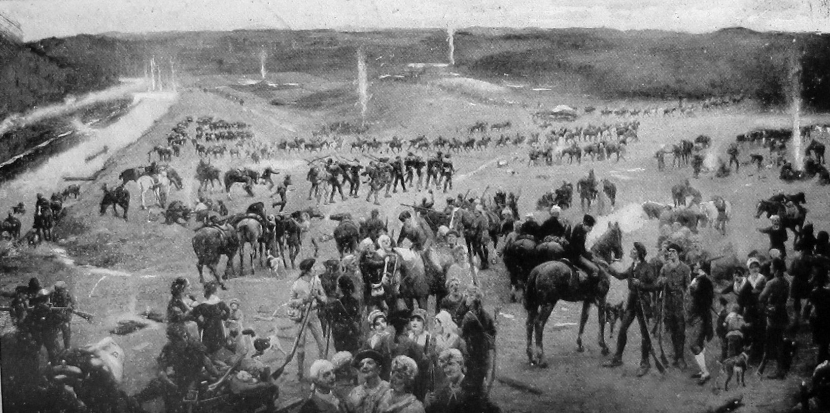
The Overmountain Men were American frontiersmen from west of the Blue Ridge Mountains which are the leading edge of the Appalachian Mountains, who took part in the American Revolutionary War. While they were present at multiple engagements in the war's southern campaign, they are best known for their role in the American victory at the Battle of Kings Mountain in 1780. The term "overmountain" arose because their settlements were west of, or "over", the Blue Ridge, which was the primary geographical boundary dividing several of the 13 American states from the Native American lands to the west. The Overmountain Men hailed from parts of Virginia, North Carolina, and what is now Tennessee and Kentucky. The efforts of the Overmountain Men helped to solidify the existence of the fragile settlements in the Watauga, Nolichucky, and Holston river valleys, the legitimacy of which had been questioned by the British Crown for several years. Many Overmountain Men, including John Sevier, ... [...More Info...] [...Related Items...] OR: [Wikipedia] [Google] [Baidu] |
State Of Franklin
The State of Franklin (also the Free Republic of Franklin or the State of Frankland)Landrum, refers to the proposed state as "the proposed republic of Franklin; while Wheeler has it as ''Frankland''." In ''That's Not in My American History Book'', Thomas Ayres maintains that the official title was "Free Republic of Franklin". was an unrecognized proposed state located in what is today East Tennessee, United States. Franklin was created in 1784 from part of the territory west of the Appalachian Mountains that had been offered by North Carolina as a cession to Congress to help pay off debts related to the American War for Independence. It was founded with the intent of becoming the 14th state of the new United States. Franklin's first capital was Jonesborough. After the summer of 1785, the government of Franklin (which was by then based in Greeneville), ruled as a "parallel government" running alongside (but not harmoniously with) a re-established North Carolina bureaucracy. F ... [...More Info...] [...Related Items...] OR: [Wikipedia] [Google] [Baidu] |
Albemarle Sound
Albemarle Sound () is a large estuary on the coast of North Carolina in the United States located at the confluence of a group of rivers, including the Chowan and Roanoke. It is separated from the Atlantic Ocean by the Currituck Banks, a barrier peninsula upon which the town of Kitty Hawk is located, at the eastern edge of the sound, and part of the greater Outer Banks region. Roanoke Island is situated at the southeastern corner of the sound, where it connects to Pamlico Sound. Much of the water in the Albemarle Sound is brackish or fresh, as opposed to the saltwater of the ocean, as a result of river water pouring into the sound. Some small portions of the Albemarle have been given their own "sound" names to distinguish these bodies of water from other parts of the large estuary. The Croatan Sound, for instance, lies between mainland Dare County and Roanoke Island. The water bordering the eastern shore of the island to the Outer Banks is commonly referred to as Roanoke ... [...More Info...] [...Related Items...] OR: [Wikipedia] [Google] [Baidu] |
Wilkesboro, North Carolina
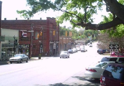
Wilkesboro is a town in and the county seat of Wilkes County, North Carolina, United States. The population was 3,687 at the 2020 census. The town is located along the south bank of the Yadkin River, directly opposite the town of North Wilkesboro. Wilkesboro is a Small Town Main Street community and has recently revitalized its historic downtown to include the Carolina West Wireless Community Commons, Wilkes Communications Pavilion, Heritage Square and Splash Pad. Cub Creek Park is adjacent to the downtown and contains many amenities, which include baseball, walking trails, mountain biking trails, trout fishing, dog park, basketball, tennis, and pickleball courts, picnic shelters, etc. Wilkesboro is also the home of the annual MerleFest, Carolina in the Fall, and Brushy Mountain Peach & Heritage festivals. History Wilkesboro was founded in 1800 and quickly designated as the county seat. The town is built atop a low, broad ridge which runs for over a mile along the south bank of t ... [...More Info...] [...Related Items...] OR: [Wikipedia] [Google] [Baidu] |
North Carolina Highway 16
North Carolina Highway 16 (NC 16) is a 143.8-mile (231.4 km) primary state highway in the U.S. state of North Carolina. Traveling in a north–south direction, it connects the cities and towns of Charlotte, Newton, Conover, Taylorsville, Wilkesboro and Jefferson, linking the Charlotte metropolitan area with the mountainous High Country. NC 16 is part of a three-state route 16 that connects the Charlotte region with northwestern West Virginia. Route description NC 16 is part of a three-state highway 16, that totals , from Waxhaw, North Carolina to St. Marys, West Virginia. NC 16 begins as a two-lane road in Waxhaw, from its intersection with NC 75 (Main Street), it travels north along Broome Street to Weddington, where it widens to four-lane and becomes Providence Road. After crossing the Union-Mecklenburg county line, it enters Charlotte's city limit. Along Providence Road, NC 16 connects with I-485 (exit 57) and NC 51 (Pinev ... [...More Info...] [...Related Items...] OR: [Wikipedia] [Google] [Baidu] |
Abingdon, Virginia
Abingdon is a town in Washington County, Virginia, United States, southwest of Roanoke. The population was 8,376 at the 2020 census. It is the county seat of Washington County. The town encompasses several historically significant sites and features a fine arts and crafts scene centered on the galleries and museums along Main Street. Abingdon is part of the Kingsport− Bristol (TN)− Bristol (VA) Metropolitan Statistical Area, which is a component of the Johnson City−Kingsport−Bristol, TN-VA Combined Statistical Area − commonly known as the Tri-Cities region. History The region was long the territory of varying cultures of indigenous peoples, including the Chisca and Xualae. From the late 17th-century, it was occupied by the Cherokee Nation, whose territory extended from the present-day area of borders of Tennessee, Virginia, and Kentucky through the spine of North Carolina and later into Georgia. Between 1748 and 1750, Dr. Thomas Walker, a principal in the Lo ... [...More Info...] [...Related Items...] OR: [Wikipedia] [Google] [Baidu] |
Caldwell County, North Carolina
Caldwell County is a county in the U.S. state of North Carolina. It is located in the foothills of the Blue Ridge Mountains. As of the 2020 census, the population was 80,652. Its county seat is Lenoir. Caldwell County is part of the Hickory–Lenoir– Morganton, NC Metropolitan Statistical Area. History The county was formed in 1841 from parts of Burke County and Wilkes County. It was named for Joseph Caldwell, presiding professor and the first president of the University of North Carolina at Chapel Hill. A series of reductions to the county's territory have taken place since its initial formation. In 1847, parts of Caldwell County, Iredell County, and Wilkes County were combined to form Alexander County. In 1849, parts of Caldwell County, Ashe County, Wilkes County, and Yancey County were combined to form Watauga County. In 1861, parts of Caldwell County, Burke County, McDowell County, Watauga County, and Yancey County were combined to form Mitchell County. Finally, ... [...More Info...] [...Related Items...] OR: [Wikipedia] [Google] [Baidu] |
Lenoir, North Carolina
Lenoir is a city in and the county seat of Caldwell County, North Carolina, Caldwell County, North Carolina, United States. The population was 18,263 at the 2020 census. Lenoir is located in the foothills of the Blue Ridge Mountains. To the northeast are the Brushy Mountains (North Carolina), Brushy Mountains, a spur of the Blue Ridge Mountains. Hibriten Mountain, located just east of the city limits, marks the western end of the Brushy Mountains range. Lenoir is one of the principal cities in the The Unifour, Hickory-Lenoir-Morganton, NC Metropolitan Statistical Area. History Lenoir was established in 1841 and incorporated in 1851. The city was named for American Revolutionary War, Revolutionary War general and early North Carolina statesman William Lenoir (general), William Lenoir, who settled north of present-day Lenoir. His restored home, Fort Defiance (Lenoir, North Carolina), Fort Defiance, is a tourist attraction. Early history The original settlement of Lenoir was known ... [...More Info...] [...Related Items...] OR: [Wikipedia] [Google] [Baidu] |
Carter County, Tennessee
Carter County is a county located in the U.S. state of Tennessee. As of the 2010 census, the population was 57,424. Its county seat is Elizabethton. The county is named in honor of Landon Carter (1760-1800), an early settler active in the "Lost State of Franklin" 1784-1788 secession from the State of North Carolina. Carter County is part of the Johnson City, TN Metropolitan Statistical Area, which is a component of the Johnson City– Kingsport–Bristol, TN- VA Combined Statistical Area, located in northeastern Tennessee. History The area was originally claimed by Britain as part of the Clarendon settlements of the Province of Carolina, although actually populated at the time by the Cherokee. The area was part of (though seldom actually administered by) the following jurisdictions in its early history: * New Hanover Precinct (1729-1734) * Bladen County (1734-1749) * Anson County (1749-1753) * Rowan County (1753-1775) Watauga Association The county is named for Gen ... [...More Info...] [...Related Items...] OR: [Wikipedia] [Google] [Baidu] |


