|
Logan River, Queensland
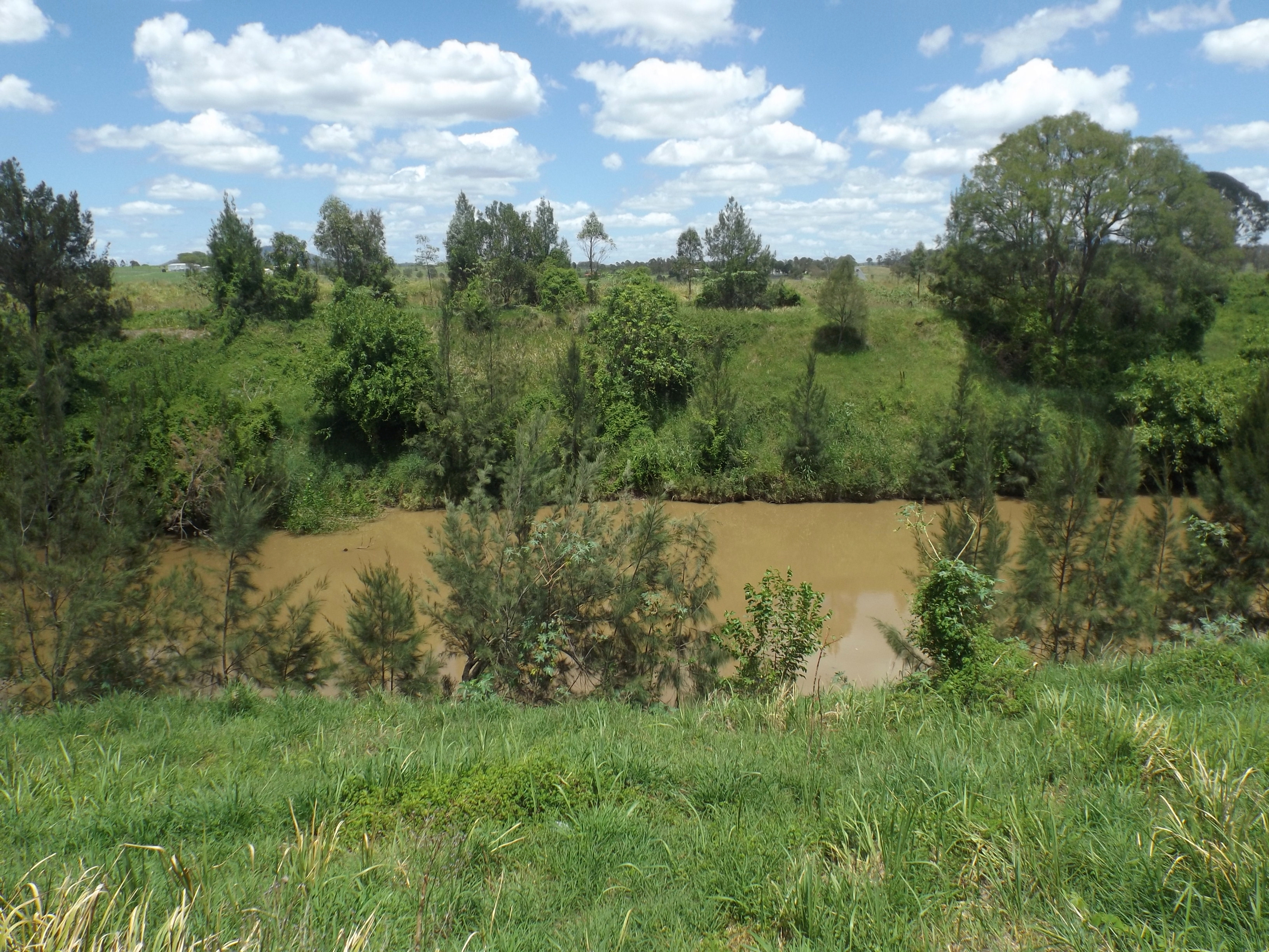
The Logan River ( Yugambeh: ''Dugulumba'') is a perennial river located in the Scenic Rim, Logan and Gold Coast local government areas of the South East region of Queensland, Australia. The -long river is one of the dominant waterways in South East Queensland that drains the southern ranges of the Scenic Rim and empties into Moreton Bay after navigating the City of Logan, a major suburban centre located south of Brisbane. The catchment is dominated by urban and agricultural land use. Near the river mouth are mangrove forests and a number of aquaculture farms. Course and features The river rises below Mount Ernest on the southern slopes of the Scenic Rim, part of the Great Dividing Range and forms in the Mount Barney National Park, near the QueenslandNew South Wales border, below Mount Lindesay. The river flows generally north by northeast, joined by eleven minor tributaries, before heading east and eventually emptying into Moreton Bay. Its principal tributaries are the Alb ... [...More Info...] [...Related Items...] OR: [Wikipedia] [Google] [Baidu] |
Patrick Logan
Captain Patrick Logan (1791 – October 1830) was the commandant of the Moreton Bay Penal Settlement from 1826 until his death in 1830 at the hands of Aboriginal Australians who objected to him entering their lands. As he had been hated by convicts, there were rumours that escaped convicts living in the bush had attacked him, but there is no evidence of this. Born in East Renton, Berwickshire, Scotland, he was the youngest son of a Scottish landowner and farmer, Abraham Logan and Janet Johnstown. He was baptised at Coldingham, Berwickshire on 15 November 1791. Logan had a distinguished military career. He was known as a strict commandant of the penal colony to the point of cruelty. Logan made significant explorations of what was to become known as South East Queensland. He was the first white person to visit the area which became Ipswich, Queensland and some consider him to be the founder of Queensland. Military career In 1810 he joined the 57th Foot Regiment and served in th ... [...More Info...] [...Related Items...] OR: [Wikipedia] [Google] [Baidu] |
Perennial River
A perennial stream is a stream that has continuous flow of surface water throughout the year in at least parts of its catchment during seasons of normal rainfall, Water Supply Paper 494. as opposed to one whose flow is intermittent. In the absence of irregular, prolonged or extreme drought, a perennial stream is a watercourse, or segment, element or emerging body of water which continually delivers groundwater. For example, an artificial disruption of stream, variability in flow or stream selection associated with the activity in hydropower installations, do not affect this status. Perennial streams do not include stagnant water (pools and waterholes), reservoirs, cutoff lakes and ponds that persist throughout the year. All other streams, or parts of them, should be considered seasonal rivers or lakes. The stream can cycle from intermittent to perpetual through multiple iterations. Stream Definition The basic concept means flowing bodies of water. In hydrology, the strea ... [...More Info...] [...Related Items...] OR: [Wikipedia] [Google] [Baidu] |
Beenleigh
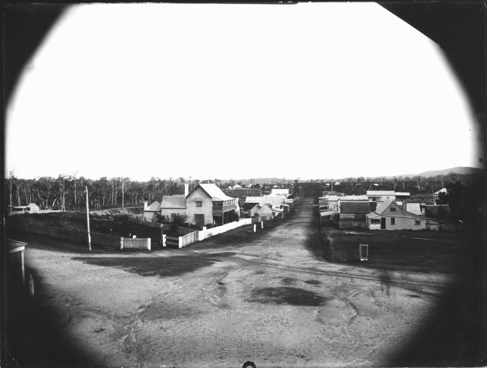
Beenleigh is a town and suburb in the City of Logan, Queensland, Australia. In the , the suburb of Beenleigh had a population of 8,252 people. A government survey for the new town was conducted in 1866. The town is the terminus for the Beenleigh railway line, which first opened in 1885 and a stop on the South Coast railway line, which reached Southport in 1889. Beenleigh was the administrative centre of the former Shire of Albert. It is known for the heritage-listed tourist attraction called the Beenleigh Artisan Distillery. In recent years it has seen many high rise developments. Geography Beenleigh and adjoining suburbs are located near the confluence of the Logan and Albert Rivers. The urban centre lies southwest of the Pacific Motorway after it crosses the Logan River and is crossed by the Gold Coast railway line. Logan River Parklands contain a boat ramp, barbeques, and a picnic area. Whilst it was once a stand-alone town built on sugar and home to Australia's olde ... [...More Info...] [...Related Items...] OR: [Wikipedia] [Google] [Baidu] |
Tributary
A tributary, or affluent, is a stream or river that flows into a larger stream or main stem (or parent) river or a lake. A tributary does not flow directly into a sea or ocean. Tributaries and the main stem river drain the surrounding drainage basin of its surface water and groundwater, leading the water out into an ocean. The Irtysh is a chief tributary of the Ob river and is also the longest tributary river in the world with a length of . The Madeira River is the largest tributary river by volume in the world with an average discharge of . A confluence, where two or more bodies of water meet, usually refers to the joining of tributaries. The opposite to a tributary is a distributary, a river or stream that branches off from and flows away from the main stream. PhysicalGeography.net, Michael Pidwirny & S ... [...More Info...] [...Related Items...] OR: [Wikipedia] [Google] [Baidu] |
Mount Lindesay (Queensland)
Mount Lindesay is a rural locality in the Scenic Rim Region, Queensland, Australia. It borders New South Wales. In the , Mount Lindesay had a population of 3 people. The mountain of the same name (height is on the south-west boundary of the locality () on the border between Queensland and New South Wales. Geography The mountain lies on the Queensland-New South Wales border, approximately 140 km south west of Brisbane, Australia. Mount Lindesay is one of a number of peaks in the McPherson Range, and is remarkable for its tiered summit, the eroded remnant of lava flows from the nearby Focal Peak shield volcano. The mountain is situated within the Mount Barney National Park in Queensland and the Border Ranges National Park in New South Wales. Apart from the northern slopes, the rest of the peak is covered in dense rainforest, and the summit is frequently in cloud and mist. The Mount Lindesay Highway enters the locality from the north-east ( Palen Creek), passes to the ... [...More Info...] [...Related Items...] OR: [Wikipedia] [Google] [Baidu] |
New South Wales
) , nickname = , image_map = New South Wales in Australia.svg , map_caption = Location of New South Wales in AustraliaCoordinates: , subdivision_type = Country , subdivision_name = Australia , established_title = Before federation , established_date = Colony of New South Wales , established_title2 = Establishment , established_date2 = 26 January 1788 , established_title3 = Responsible government , established_date3 = 6 June 1856 , established_title4 = Federation , established_date4 = 1 January 1901 , named_for = Wales , demonym = , capital = Sydney , largest_city = capital , coordinates = , admin_center = 128 local government areas , admin_center_type = Administration , leader_title1 = Monarch , leader_name1 = Charles III , leader_title2 = Governor , leader_name2 = Margaret Beazley , leader_title3 = Premier , leader_name3 = Dominic Perrottet (Liberal) , national_representation = Parliament of Australia , national_representation_type1 = Senat ... [...More Info...] [...Related Items...] OR: [Wikipedia] [Google] [Baidu] |
Great Dividing Range
The Great Dividing Range, also known as the East Australian Cordillera or the Eastern Highlands, is a cordillera system in eastern Australia consisting of an expansive collection of mountain ranges, plateaus and rolling hills, that runs roughly parallel to the east coast of Australia and forms the fifth-longest land-based mountain chain in the world, and the longest entirely within a single country. It is mainland Australia's most substantial topographic feature and serves as the definitive watershed for the river systems in eastern Australia, hence the name. The Great Dividing Range stretches more than from Dauan Island in the Torres Strait off the northern tip of Cape York Peninsula, running the entire length of the eastern coastline through Queensland and New South Wales, then turning west across Victoria before finally fading into the Wimmera plains as rolling hills west of the Grampians region. The width of the Range varies from about to over .Shaw, John H., ''Col ... [...More Info...] [...Related Items...] OR: [Wikipedia] [Google] [Baidu] |
Logan River At Woodhill, Queensland
Logan may refer to: Places * Mount Logan (other) Australia * Logan (Queensland electoral district), an electoral district in the Queensland Legislative Assembly * Logan, Victoria, small locality near St. Arnaud * Logan City, local government area in Queensland ** Shire of Logan, predecessor to Logan City * Logan Lagoon, Flinders Island, Tasmania * Logan River, river flowing into Moreton Bay, Queensland * Logan Village, Queensland, a town and locality within Logan City, Queensland Canada * Mount Logan, Canada's highest mountain * Logan (Manitoba electoral district), former electoral district in the Canadian province of Manitoba * Logan Lake, a district municipality in the Southern Interior of British Columbia United Kingdom * Logan Botanic Garden, Wigtownshire, Scotland * Logan, East Ayrshire, Scotland United States * Logan, Alabama * Logan, Arkansas * Logan, Edgar County, Illinois * Logan Square, Chicago, Illinois * Logan, Dearborn County, Indiana * Logan, Lawre ... [...More Info...] [...Related Items...] OR: [Wikipedia] [Google] [Baidu] |
Aquaculture
Aquaculture (less commonly spelled aquiculture), also known as aquafarming, is the controlled cultivation ("farming") of aquatic organisms such as fish, crustaceans, mollusks, algae and other organisms of value such as aquatic plants (e.g. lotus). Aquaculture involves cultivating freshwater, brackish water and saltwater populations under controlled or semi-natural conditions, and can be contrasted with commercial fishing, which is the harvesting of wild fish. Mariculture, commonly known as marine farming, refers specifically to aquaculture practiced in seawater habitats and lagoons, opposed to in freshwater aquaculture. Pisciculture is a type of aquaculture that consists of fish farming to obtain fish products as food. Aquaculture can also be defined as the breeding, growing, and harvesting of fish and other aquatic plants, also known as farming in water. It is an environmental source of food and commercial product which help to improve healthier habitats and used to recon ... [...More Info...] [...Related Items...] OR: [Wikipedia] [Google] [Baidu] |
Mangrove
A mangrove is a shrub or tree that grows in coastal saline water, saline or brackish water. The term is also used for tropical coastal vegetation consisting of such species. Mangroves are taxonomically diverse, as a result of convergent evolution in several plant families. They occur worldwide in the tropics and subtropics and even some temperate coastal areas, mainly between latitudes 30° N and 30° S, with the greatest mangrove area within 5° of the equator. Mangrove plant families first appeared during the Late Cretaceous to Paleocene epochs, and became widely distributed in part due to the plate tectonics, movement of tectonic plates. The oldest known fossils of Nypa fruticans, mangrove palm date to 75 million years ago. Mangroves are salt-tolerant trees, also called halophytes, and are adapted to live in harsh coastal conditions. They contain a complex salt filtration system and a complex root system to cope with saltwater immersion and wave action. They are ad ... [...More Info...] [...Related Items...] OR: [Wikipedia] [Google] [Baidu] |


