|
Loch An Duin
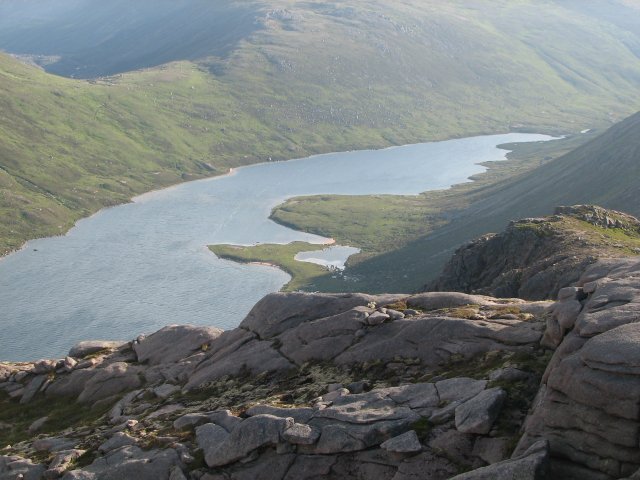
Loch an Duin is a complex system of freshwater, brackish and sea lochs, tidal channels and islands, on and close to North Uist off the west coast of Scotland. An area of 2,621 hectares has been protected since 1990 as a List of Ramsar sites in Scotland, Ramsar Site. The area under protection includes part of the north-eastern coastland of North Uist, as well as nearby islands and skerry, skerries in the Sound of Harris. It supports nationally important populations of common terns, around 1.5% of the UK breeding population, as well as providing habitat for Eurasian otter, otters. As the largest fjardic loch system in Britain, Loch an Duin has been recognised as a List of Ramsar wetlands of international importance, wetland of international importance under the Ramsar Convention, and additionally as a Site of Special Scientific Interest. References Ramsar sites in Scotland Wetlands of Scotland {{Scotland-SSSI-stub ... [...More Info...] [...Related Items...] OR: [Wikipedia] [Google] [Baidu] |
North Uist
North Uist ( gd, Uibhist a Tuath; sco, North Uise) is an island and community in the Outer Hebrides of Scotland. Etymology In Donald Munro's ''A Description of the Western Isles of Scotland Called Hybrides'' of 1549, North Uist, Benbecula and South Uist are described as one island of ''Ywst'' (Uist). Starting in the south of this 'island', he described the division between South Uist and Benbecula where "the end heirof the sea enters, and cuts the countrey be ebbing and flowing through it". Further north of Benbecula he described North Uist as "this countrey is called Kenehnache of Ywst, that is in Englishe, the north head of Ywst".''A Description of the Western Isles of Scotland Called Hybrides''; Monro, Donald, 1549 Some have taken the etymology of Uist from Old Norse, meaning "west", much like Westray in Orkney. Another speculated derivation of Uist from Old Norse is ', derived from ' meaning "an abode, dwelling, domicile". A Gaelic etymology is also possible, with ' meanin ... [...More Info...] [...Related Items...] OR: [Wikipedia] [Google] [Baidu] |
Scotland
Scotland (, ) is a country that is part of the United Kingdom. Covering the northern third of the island of Great Britain, mainland Scotland has a border with England to the southeast and is otherwise surrounded by the Atlantic Ocean to the north and west, the North Sea to the northeast and east, and the Irish Sea to the south. It also contains more than 790 islands, principally in the archipelagos of the Hebrides and the Northern Isles. Most of the population, including the capital Edinburgh, is concentrated in the Central Belt—the plain between the Scottish Highlands and the Southern Uplands—in the Scottish Lowlands. Scotland is divided into 32 administrative subdivisions or local authorities, known as council areas. Glasgow City is the largest council area in terms of population, with Highland being the largest in terms of area. Limited self-governing power, covering matters such as education, social services and roads and transportation, is devolved from the Scott ... [...More Info...] [...Related Items...] OR: [Wikipedia] [Google] [Baidu] |
Stornoway
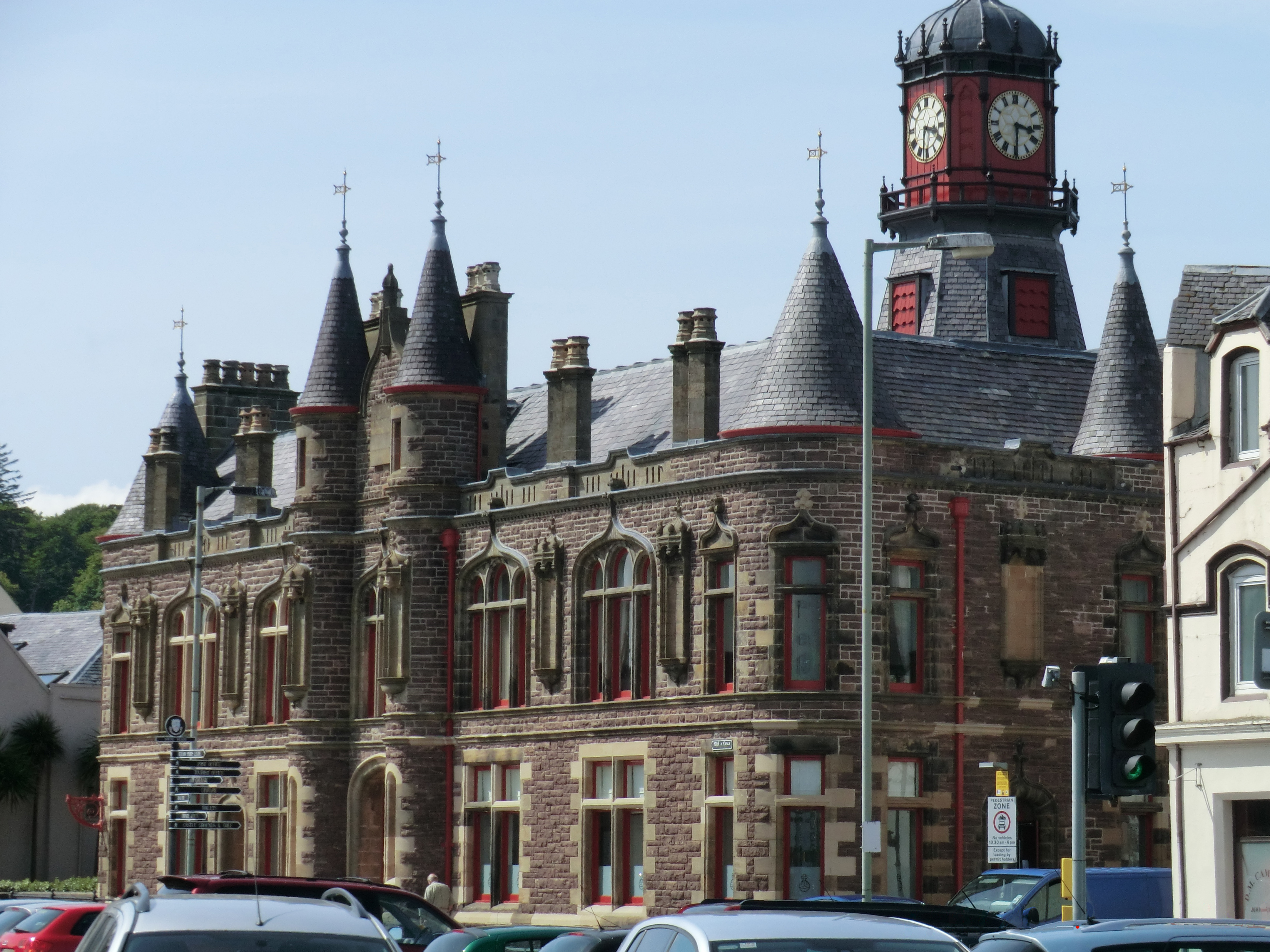
Stornoway (; gd, Steòrnabhagh; sco, Stornowa) is the main town of the Western Isles and the capital of Lewis and Harris in Scotland. The town's population is around 6,953, making it by far the largest town in the Outer Hebrides, as well as the third largest island town in Scotland after Kirkwall in Orkney and Lerwick in Shetland. The traditional civil parish of Stornoway, which includes various nearby villages, has a combined population of just over 10,000. The Comhairle nan Eilean Siar measures population in a different area: the ''Stornoway settlement'' area, Laxdale, Sandwick and Newmarket; in 2019, the estimated population for this area was 6,953. Stornoway is an important port and the major town and administrative centre of the Outer Hebrides. It is home to ''Comhairle nan Eilean Siar'' (the Western Isles Council) and a variety of educational, sporting and media establishments. Until relatively recently, observance of the Christian Sabbath (Sunday) has been associate ... [...More Info...] [...Related Items...] OR: [Wikipedia] [Google] [Baidu] |
Scottish Natural Heritage
NatureScot ( gd, NàdarAlba), which was formerly known as Scottish Natural Heritage, is an executive non-departmental public body of the Scottish Government responsible for the country's natural heritage, especially its natural, genetic and scenic diversity. It advises the Scottish Government on nature conservation, and acts as a government agent in the delivery of conservation designations, i.e. national nature reserves, local nature reserves, national parks, Sites of Special Scientific Interest (SSSIs), Special Areas of Conservation, Special Protection Areas and the national scenic areas. It receives annual funding from the Government in the form of Grant in Aid to deliver Government priorities for the natural heritage. NatureScot is the Scottish Government's adviser on all aspects of nature, wildlife management and landscape across Scotland, and also helps the Scottish Government meet its responsibilities under European environmental laws, particularly in relation to th ... [...More Info...] [...Related Items...] OR: [Wikipedia] [Google] [Baidu] |
List Of Ramsar Sites In Scotland
This list includes all Ramsar sites in Scotland. Ramsar sites are internationally recognised wetland sites, protected under the terms of the Ramsar Convention, which was developed and adopted by participating nations at a meeting in Ramsar, Iran, on 2 February 1971. At the end of 2010, 160 states were contracting parties to the convention, and the worldwide total of sites was 1,920. The United Kingdom was one of 18 original signatories to the convention, and has since designated 168 Ramsar sites. 51 of these sites are within Scotland, including one site, the Upper Solway Flats and Marshes, which covers parts of both Scotland and England in the Solway Firth. The total area of all Ramsar sites in Scotland is approximately . All of Scotland's Ramsar sites form part of the European Natura 2000 network as either Special Protection Areas or Special Areas of Conservation, and many sites are further protected as Sites of Special Scientific Interest under UK legislation. List of Ramsar ... [...More Info...] [...Related Items...] OR: [Wikipedia] [Google] [Baidu] |
Skerry
A skerry is a small rocky island, or islet, usually too small for human habitation. It may simply be a rocky reef. A skerry can also be called a low sea stack. A skerry may have vegetative life such as moss and small, hardy grasses. They are often used as resting places by animals such as seals and birds. Etymology The term ''skerry'' is derived from the Old Norse ', which means a rock in the sea (which in turn derives from the Proto-Indo-European root *''sker''-, "cut", in the sense of a rock cut off from the land). The Old Norse term ' was brought into the English language via the Scots language word spelled or . It is a cognate of the Scandinavian languages' words for ''skerry'' – Icelandic, fo, sker, da, skær, sv, skär, no, skjær / skjer, found also in german: Schäre, fi, kari, et, skäär, lv, šēra, lt, Šcheras and russian: шхеры (). In Scottish Gaelic, it appears as ', e.g. Sula Sgeir, in Irish as '','' in Welsh as '','' and in Manx as ''.'' ... [...More Info...] [...Related Items...] OR: [Wikipedia] [Google] [Baidu] |
Sound Of Harris
The Sound of Harris ( gd, Caolas na Hearadh) is a channel between the islands of Harris and North Uist in the Outer Hebrides of Scotland. Geography Approximately in width, the Sound of Harris provides the main sea passage through the Hebridean archipelago, from the Atlantic Ocean to The Minch. There are many islands and numerous reefs in the Sound, the largest being Berneray, Pabbay, Ensay and Killegray. It is part of the South Lewis, Harris and North Uist National Scenic Area, one of 40 in Scotland. . SNH. Retrieved 30 Mar 2011. Ferry Since 1996, a vehicle ferry links , Harris to[...More Info...] [...Related Items...] OR: [Wikipedia] [Google] [Baidu] |
Common Tern
The common tern (''Sterna hirundo'') is a seabird in the family Laridae. This bird has a circumpolar distribution, its four subspecies breeding in temperate and subarctic regions of Europe, Asia and North America. It is strongly migratory, wintering in coastal tropical and subtropical regions. Breeding adults have light grey upperparts, white to very light grey underparts, a black cap, orange-red legs, and a narrow pointed bill. Depending on the subspecies, the bill may be mostly red with a black tip or all black. There are several similar species, including the partly sympatric Arctic tern, which can be separated on plumage details, leg and bill colour, or vocalisations. Breeding in a wider range of habitats than any of its relatives, the common tern nests on any flat, poorly vegetated surface close to water, including beaches and islands, and it readily adapts to artificial substrates such as floating rafts. The nest may be a bare scrape in sand or gravel, but it is of ... [...More Info...] [...Related Items...] OR: [Wikipedia] [Google] [Baidu] |
Eurasian Otter
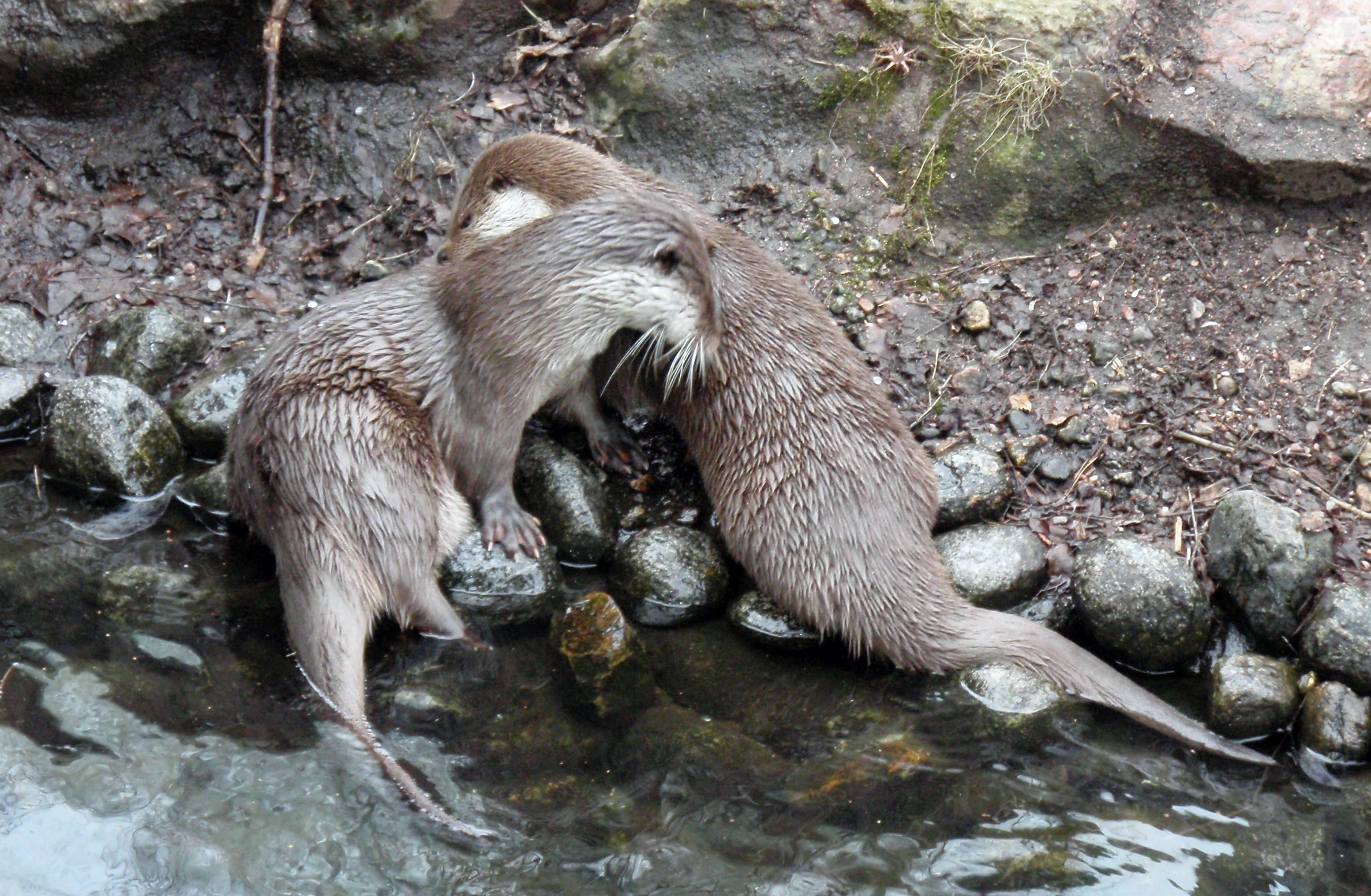
The Eurasian otter (''Lutra lutra''), also known as the European otter, Eurasian river otter, common otter, and Old World otter, is a semiaquatic mammal native to Eurasia. The most widely distributed member of the otter subfamily (Lutrinae) of the weasel family (Mustelidae), it is found in the waterways and coasts of Europe, many parts of Asia, and parts of northern Africa. The Eurasian otter has a diet mainly of fish, and is strongly territorial. It is endangered in some parts of its range, but is recovering in others. Description The Eurasian otter is a typical species of the otter subfamily. Brown above and cream below, these long, slender creatures are well-equipped for their aquatic habits. Their bones show osteosclerosis, increasing their density to reduce buoyancy. This otter differs from the North American river otter by its shorter neck, broader visage, the greater space between the ears and its longer tail. However, the Eurasian otter is the only otter in much of its ... [...More Info...] [...Related Items...] OR: [Wikipedia] [Google] [Baidu] |
Fjard
A fjard ( sv, fjärd, ) is a large open space of water between groups of islands or mainland in archipelagos. Fjards can be found along sea coasts, in freshwater lakes or rivers. Fjard and fjord were originally the same word with the general meaning of sailable waterway. In Scandinavia, fjords dominate along the North Sea coast while fjards dominate the Baltic Sea coast. Fjards vs. fjords vs. förden vs. rias Although fjards and fjords are similar in that they are a glacially-formed topography, they still differ in some key ways: * Fjords are characterized by steep high relief cliffs carved by glacial activity and often have split or branching channels. * Fjards are a glacial depression or valley that has much lower relief than a fjord. Fjards fill with eroded local materials which assists "filling" along with rising sea level since the last ice age contributing as well. Other low relief landforms that are only associated with fjards such as mud flats, salt marshes, and flood p ... [...More Info...] [...Related Items...] OR: [Wikipedia] [Google] [Baidu] |
List Of Ramsar Wetlands Of International Importance
This is the list of Wetlands of International Importance as defined by the Ramsar Convention for the conservation and sustainable use of wetlands, recognizing the fundamental ecological functions of wetlands and their economic, cultural, scientific, and recreational value. The convention establishes that "wetlands should be selected for the list on account of their international significance in terms of ecology, botany, zoology, limnology or hydrology." Over the years, the Conference of the Contracting Parties has adopted more specific criteria interpreting the convention text. The Ramsar List organizes the Ramsar sites according to the contracting party that designated each to the list. Contracting parties are grouped into six "regions": Africa, Asia, Europe, Latin American and the Caribbean, North America, and Oceania. , 170 states have acceded to the convention and designated 2,471 sites to the list, covering ; two other states have acceded to the convention but have yet to des ... [...More Info...] [...Related Items...] OR: [Wikipedia] [Google] [Baidu] |
Ramsar Convention
The Ramsar Convention on Wetlands of International Importance Especially as Waterfowl Habitat is an international treaty for the conservation and sustainable use of Ramsar sites (wetlands). It is also known as the Convention on Wetlands. It is named after the city of Ramsar in Iran, where the convention was signed in 1971. Every three years, representatives of the contracting parties meet as the Conference of the Contracting Parties (COP), the policy-making organ of the convention which adopts decisions (resolutions and recommendations) to administer the work of the convention and improve the way in which the parties are able to implement its objectives. COP12 was held in Punta del Este, Uruguay, in 2015. COP13 was held in Dubai, United Arab Emirates, in October 2018. List of wetlands of international importance The list of wetlands of international importance included 2,331 Ramsar sites in May 2018 covering over . The countries with most sites are the United Kingdo ... [...More Info...] [...Related Items...] OR: [Wikipedia] [Google] [Baidu] |


