|
List Of Cities In Gujarat
The following is a list of the most populous cities in Gujarat state of India as per the 2011 census. There are 31 cities in Gujarat which have a population over 100,000. Area and Population of cities in Gujarat with more than 100000 residents This is a list of cities and towns in Gujarat, India. See also * List of most populous areas in India * List of states and union territories of India by population * Demographics of India References * Largest metropolitan areas in IndiaLargest cities in Gujarat Census of India {{DEFAULTSORT:Cities in Gujarat by population |
Gujarat
Gujarat (, ) is a state along the western coast of India. Its coastline of about is the longest in the country, most of which lies on the Kathiawar peninsula. Gujarat is the fifth-largest Indian state by area, covering some ; and the ninth-most populous state, with a population of 60.4 million. It is bordered by Rajasthan to the northeast, Dadra and Nagar Haveli and Daman and Diu to the south, Maharashtra to the southeast, Madhya Pradesh to the east, and the Arabian Sea and the Pakistani province of Sindh to the west. Gujarat's capital city is Gandhinagar, while its largest city is Ahmedabad. The Gujaratis are indigenous to the state and their language, Gujarati, is the state's official language. The state encompasses 23 sites of the ancient Indus Valley civilisation (more than any other state). The most important sites are Lothal (the world's first dry dock), Dholavira (the fifth largest site), and Gola Dhoro (where 5 uncommon seals were found). Lothal i ... [...More Info...] [...Related Items...] OR: [Wikipedia] [Google] [Baidu] |
Bharuch
Bharuch (), formerly known as Broach, is a city at the mouth of the river Narmada in Gujarat in western India. Bharuch is the administrative headquarters of Bharuch District. The city of Bharuch and surroundings have been settled since times of antiquity. It was a ship building centre and sea port in the pre-compass coastal trading routes to points West, perhaps as far back as the days of the pharaohs. The route made use of the regular and predictable monsoon winds or galleys. Many goods from the Far East (the famed Spice and Silk trade) were shipped there during the annual monsoon winds, making it a terminus for several key land-sea trade routes. Bharuch was known to the Greeks, the various Persian Empires, in the Roman Republic and Empire, and in other Western centres of civilisation through the end of the European Middle Ages.Periplus of the Erythraean Sea [...More Info...] [...Related Items...] OR: [Wikipedia] [Google] [Baidu] |
Botad
Botad is a city and district headquarters of Botad district, Gujarat, India. It is about 92 km from Bhavnagar and 133 km From Ahmedabad by road distance. Botad district is made from Ahmedabad and Bhavnagar. Erstwhile, it was part of Bhavnagar district. Botad District is surrounded by Surendranagar District to the northeast, Rajkot districts to the west, Bhavnagar and Amreli to the south and Ahmedabad District to the East. Geography Botad is situated at the confluence of the streams which unite to form a small river Utavali. Botad is surrounded by low hills on the east and west, forming a valley. Utavali Creek flows through the town, and Madhu Creek joins the Utavali river near Ten Drains. The town is a gateway to Kathiawad (toward Gadhada, Lathi and Amreli), and a crossroads of Gohilwad (towards Bhavnagar), Zalawad (Limbdi, Surendranagar) and Panchal (towards Paliyad, Vinchiya, Jasadan). The Sukhbhadar River flows at the northern border of Botad district in Ranpu ... [...More Info...] [...Related Items...] OR: [Wikipedia] [Google] [Baidu] |
Dahod
Dahod is a city on the banks of the Dudhimati River in Dahod District in the State of Gujarat, India. It is said that it has taken its name from Saint Dadhichi, who had an Ashram on the bank of Dudhumati river. The city serves as District Headquarters for Dahod District. It is from Ahmedabad and from Vadodara. It is also known as ''Dohad'' (meaning "two boundaries", as the borders of the states of Rajasthan and Madhya Pradesh are nearby). Mughal Emperor Aurangzeb was born in Dahod in 1618, during the reign of Jahangir. Aurangzeb was said to have ordered his ministers to favour this town, as it was his birthplace. Tatya Tope, the freedom fighter, is known to have absconded in Dahod. He is believed to have lived his last days in this region. It was previously within the boundaries of Panchmahal District. However, in 2006, Dahod was recognized as a separate district. Urban Bank Hospital is situated here. The foundation stone for a dental college was laid by the trust of phila ... [...More Info...] [...Related Items...] OR: [Wikipedia] [Google] [Baidu] |
Kalol, Gandhinagar
Kalol is a city in Gandhinagar district in the Indian state of Gujarat, located alongside Gujarat State Highway 41 between the cities of Mehsana and Ahmedabad. Demographics India census, Kalol had a population of 133,737 with 69,898 males and 63,839 females; it has 13,719 children aged 0–6 (7,397 male and 6,322 female), 103,561 literates (57,548 male and 46,013 female) 88% literacy in Kalol, the Taluka population in 2011 was 305,489. Kalol is divided into four major areas: # Kalol East # Kalol Centre # Kalol West # New Panchvati East Side is an industrial specific area designed for Sintex Industries (Plastic Industry) and also includes residential areas. Centre Side and West Side, both are residential areas and also are most developed areas of Kalol. Geography Kalol has an average elevation of 81 metres (266 feet). SH41 Highway passes through Kalol. The city sits on the banks of the Sabarmati River, in North-Central-East Gujarat. Climate Kalol has a Monsoon cli ... [...More Info...] [...Related Items...] OR: [Wikipedia] [Google] [Baidu] |
Patan, Gujarat
Patan () is the administrative seat of Patan District in the Indian state of Gujarat and is an administered municipality. It was the capital of Gujarat's Chavda and Chaulukya dynasties in medieval times, and is also known as Anhilpur-Patan to distinguish it from Prabhas Patan. Patan was established by the Chavda king Vanaraja. During the rule of several Hindu and Muslim dynasties, it thrived as a trading city and a regional capital of northern Gujarat. The city contains many Hindu and Jain temples as well as mosques, dargahs and rojas. It is a historical place located on the bank of the now extinct Saraswati River. Patan has an old market which is quite sizeable and is believed to have been in continuous operation since at least the rule of Vaghelas. History Patan was established by the Chavda ruler Vanaraja in the ninth century as "Anahilapataka". During 10th-13th century, the city served as the capital of the Chaulukya dynasty, who succeeded the Chavdas. Muhammed's g ... [...More Info...] [...Related Items...] OR: [Wikipedia] [Google] [Baidu] |
Godhra
Godhra is a municipality in Panchmahal district in Indian state of Gujarat. It is the administrative headquarters of the Panchmahal district. Originally the name came from ''gou'' which means "cow" and ''dhara''- which have two meanings depending on how you pronounce the word: 'dharaa' means a feminine thing or person that "holds" something and it usually means"land", and the other pronunciation is 'dhaaraa' in which means "flow". However, the second pronunciation is not popular nor is usually associated with this word. Hence, 'Godhra or Godharaa' means the Land of the Cow. Godhra is widely known in India and internationally for being the starting point of the 2002 Gujarat riots. Statewide religious riots between Hindus and Muslims began after the Godhra train burning incident near the Godhra railway station on 27 February 2002, where about 59 Hindu train passengers were burnt alive. It was in Godhra that Vallabhbhai Patel first met Gandhi in 1917 and was subsequently drawn into ... [...More Info...] [...Related Items...] OR: [Wikipedia] [Google] [Baidu] |
Veraval
Veraval also known as Somnath is a municipality and the headquarters of Gir Somnath district in the Indian state of Gujarat. It is also known for the hub of fishing industries in India. Geography Veraval is located at . It has an average elevation of 0 metres (0 feet). History Veraval was founded in 13th or 14th century by Rao Veravalji Vadher, a Rajput. Present name is believed to be derived from its old name "Velakul" meaning Port City. Veraval was once a fortified port town of the royal family of Junagadh. It was a part of the Kingdom of Junagadh till 1947 when Junagadh was merged with India. The city still bears some remnants of the old Nawabi heritage, the Nawabi summer palace being among them. There are ruins of the old Nawabi fort and Nawabi Gates in and around the place. The old walls of the port are now ruined, but the impressive Junagadh gate and the Patan gate are still seen, but are in a very bad state. The Nawabi Palace with Gothic features which i ... [...More Info...] [...Related Items...] OR: [Wikipedia] [Google] [Baidu] |
Gondal, India
Gondal is a city of about 115,000 residents and a municipality of about 175,000 in the Rajkot district of the Indian state of Gujarat. Gondal State was one of the eight first-class princely states of Kathiawar Agency, Bombay Presidency in British India. Ruled by a Hindu Rajput dynasty of the Jadeja clan, the capital of the state was Gondal town. History Gondal is mentioned in texts like ''Ain-i-Akbari'' (written in the reign of Akbar) and ''Mirat-i-Ahmadi'' as a Vaghela state in Sorath ( Saurashtra). The Gondal State in Kathiawar Agency was founded in 1634 by Thakore Shri Kumbhoji I Meramanji from the Jadeja dynasty, who received Ardoi and other villages from his father Meramanji. Kumbhoki's fourth descendant, Kumbhoji IV, increased the size of the state by acquiring parganas such as Dhoraji, Upleta, and Sarai. [...More Info...] [...Related Items...] OR: [Wikipedia] [Google] [Baidu] |
Vapi
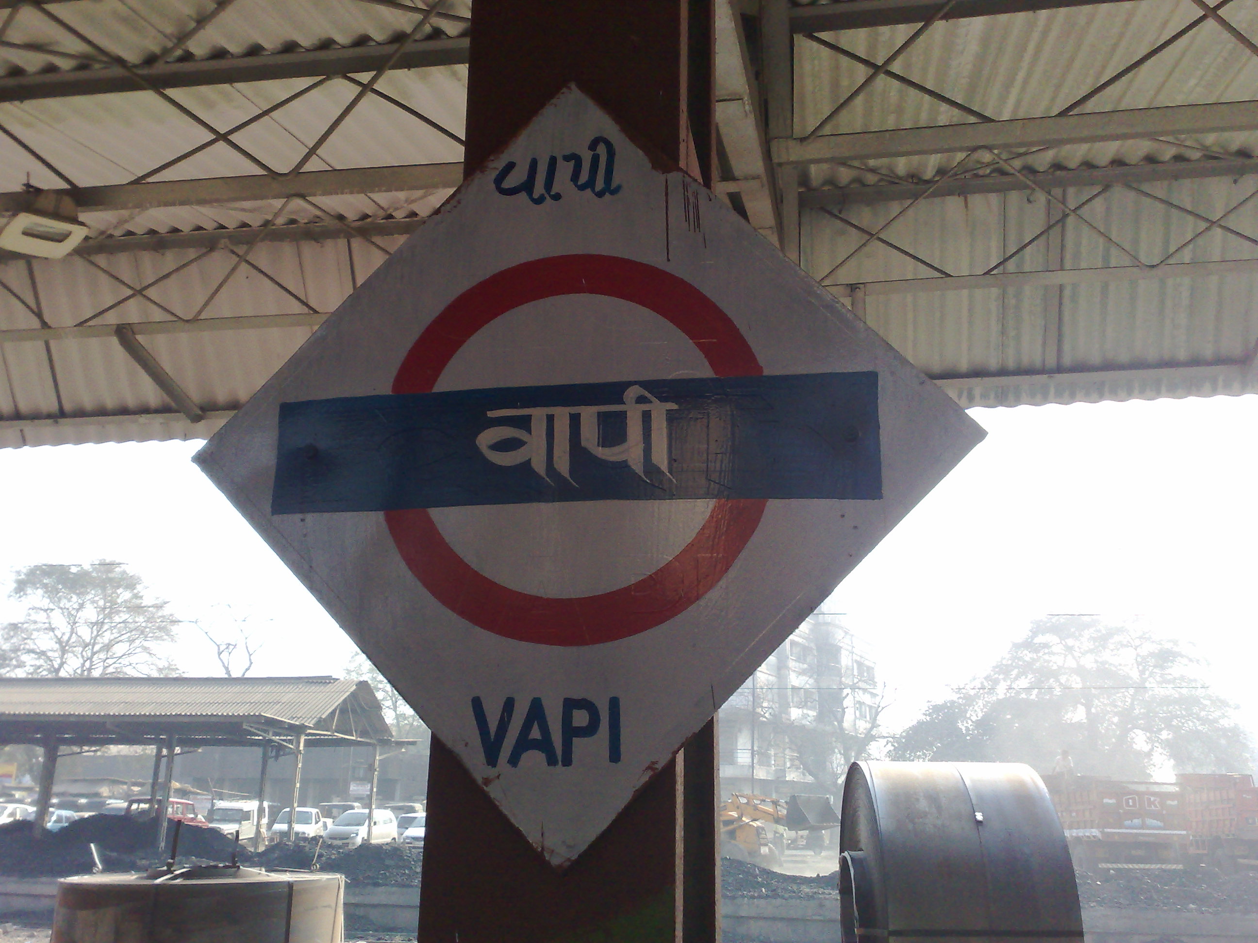
Vapi ( IAST: vāpī,), is a city and municipality in Valsad district in the state of Gujarat, India.It is situated near the banks of the Daman Ganga River, around 28 km south of the district headquarters in the city of Valsad, and it is surrounded by the Union Territory of Dadra and Nagar Haveli and Daman and Diu. It is believed that the city got its name from the old small stepwell situated near the Balitha area. The meaning of vapi (''वापी'') in sanskrit is a water reservoir or a water storage body. The town originally belonged to the Kshatriya Jagirdar family Palande during the Marathi Empire. After independence from the British Crown, the Jagirdar system was abolished by the Indian government in 1951 and the community of Anavil Brahmin who formerly acted as tax farmers during the era of the Maratha Empire received the land. Vapi is one of the largest industrial areas in Gujarat in terms of small-scale industries, dominated by the chemical industry. Geogra ... [...More Info...] [...Related Items...] OR: [Wikipedia] [Google] [Baidu] |
Valsad
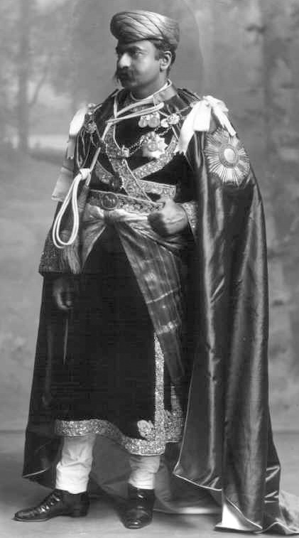
Valsad (Pronunciation: �alsɑɖ (Gujarati: વલસાડ), historically known as Bulsar, is a city and a municipality in Valsad district of the Indian state of Gujarat. It is the district headquarters of Valsad district. The city of Valsad is located in the south of Navsari and Surat. Etymology The name "Valsad" derives from ''vad-saal'', a Gujarati language compound meaning "covered (''saal'') by banyan trees (''vad'')" (the area was naturally rich in banyan trees). During British Raj, it was historically known as "Bulsar". Geography Valsad is located at . It has an average elevation of 13 metres (42 feet). The old city is about 4 km inland from the Arabian sea. Climate Valsad has a tropical savanna climate (Aw) with little to no rainfall from October to May and very heavy to extremely heavy rainfall from June to September when it is under the direct influence of the Arabian Sea branch of the South-west monsoon. Demographics As of the 2011 Ind ... [...More Info...] [...Related Items...] OR: [Wikipedia] [Google] [Baidu] |
Palanpur
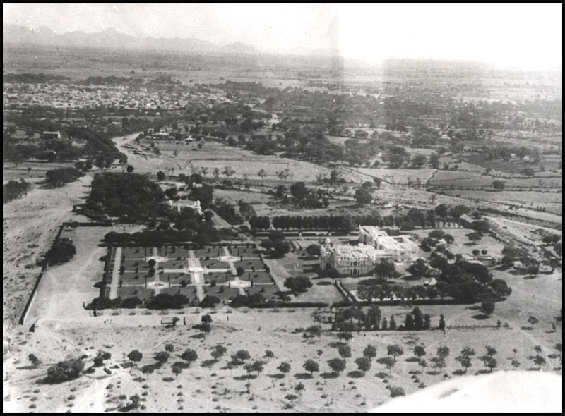
Palanpur is a city and a municipality of Banaskantha district in the Indian state of Gujarat. Palanpur is the administrative headquarters of Banaskantha district. Palanpur is the ancestral home to an industry of Indian diamond merchants. Etymology Palanpur in early times is said to have been called Prahladana Patan or Prahaladanapura after its founder Prahladana, mentioned in Jain texts. It was afterwards re-peopled by Palansi Chauhan from whom it took its modern name. Others say that it was founded by Pal Parmar whose brother Jagadev founded nearby Jagana village. History The Jain texts mentions that Prahladana, brother of Paramara Dharavarsha of Abu, founded Prahladanapur in 1218 and built Prahladana-vihara dedicated to Pallaviya Parshwanatha. The town was re-peopled ruled by Chauhans around thirteenth century. At the start of the seventeenth century, the Palanpur State was taken over by Jhalori dynasty of the Pashtun Lohani tribe which was founded in 1373 and ruled from ... [...More Info...] [...Related Items...] OR: [Wikipedia] [Google] [Baidu] |


