|
List Of Shipwrecks Of Isle Royale
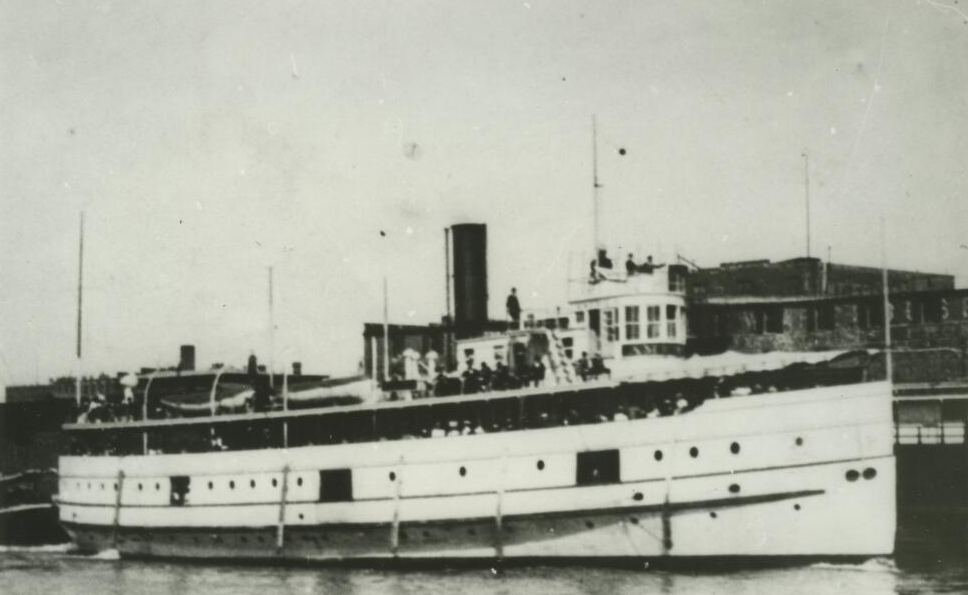
The List of shipwrecks of Isle Royale includes more than 25 ships that have been sunk near Isle Royale in Lake Superior (North America). Isle Royale has been an obstacle to shipping on Lake Superior since the earliest days. Upon its reefs, more than 25 major wrecks have occurred. Some were refloated, but most never left. Early wrecks Still to be found beneath the waves of Lake Superior are the wooden sidewheeler, ''Cumberland'' (1877); bulk freighter, '' Chester Congdon'' (1918); and the first Canadian wheat packet, ''Emperor'' (1947). Earlier, the ''Kamloops'' which "went missing" in 1927 was found on the northern shore of the island in 1977. The earliest recorded wrecks were the ''Madeline'' (1839) and the ''Siskiwit'' (1840) of the American Fur Company. Many smaller French "ships" were reported upon Lake Superior in the 18th century, which were gone before the English arrival in 1763. Along the north shore of the lake, the most celebrated wreck is that of the ''America'' which ... [...More Info...] [...Related Items...] OR: [Wikipedia] [Google] [Baidu] |
Isle Royale
Isle Royale National Park is an American national park consisting of Isle Royale – known as Minong to the native Ojibwe – along with more than 400 small adjacent islands and the surrounding waters of Lake Superior, in the state of Michigan. Isle Royale is long and wide, with an area of , making it the fourth-largest lake island in the world. In addition, it is the largest natural island in Lake Superior, the second-largest island in the Great Lakes (after Manitoulin Island), the third-largest in the contiguous United States (after Long Island and Padre Island), and the 33rd-largest island in the United States. Isle Royale National Park was established on April 3, 1940, then additionally protected from development by wilderness area designation in 1976, declared a UNESCO International Biosphere Reserve in 1980, and added to the National Register of Historic Places in 2019 as the Minong Traditional Cultural Property. The park covers , with of land and of surroundin ... [...More Info...] [...Related Items...] OR: [Wikipedia] [Google] [Baidu] |
Michigan
Michigan () is a state in the Great Lakes region of the upper Midwestern United States. With a population of nearly 10.12 million and an area of nearly , Michigan is the 10th-largest state by population, the 11th-largest by area, and the largest by area east of the Mississippi River.''i.e.'', including water that is part of state territory. Georgia is the largest state by land area alone east of the Mississippi and Michigan the second-largest. Its capital is Lansing, and its largest city is Detroit. Metro Detroit is among the nation's most populous and largest metropolitan economies. Its name derives from a gallicized variant of the original Ojibwe word (), meaning "large water" or "large lake". Michigan consists of two peninsulas. The Lower Peninsula resembles the shape of a mitten, and comprises a majority of the state's land area. The Upper Peninsula (often called "the U.P.") is separated from the Lower Peninsula by the Straits of Mackinac, a channel that joins Lak ... [...More Info...] [...Related Items...] OR: [Wikipedia] [Google] [Baidu] |
Historic American Engineering Record
Heritage Documentation Programs (HDP) is a division of the U.S. National Park Service (NPS) responsible for administering the Historic American Buildings Survey (HABS), Historic American Engineering Record (HAER), and Historic American Landscapes Survey (HALS). These programs were established to document historic places in the United States. Records consist of measured drawings, archival photographs, and written reports, and are archived in the Prints and Photographs Division of the Library of Congress. Historic American Buildings Survey In 1933, NPS established the Historic American Buildings Survey following a proposal by Charles E. Peterson, a young landscape architect in the agency. It was founded as a constructive make-work program for architects, draftsmen and photographers left jobless by the Great Depression. It was supported through the Historic Sites Act of 1935. Guided by field instructions from Washington, D.C., the first HABS recorders were tasked with docume ... [...More Info...] [...Related Items...] OR: [Wikipedia] [Google] [Baidu] |
Superior, Wisconsin
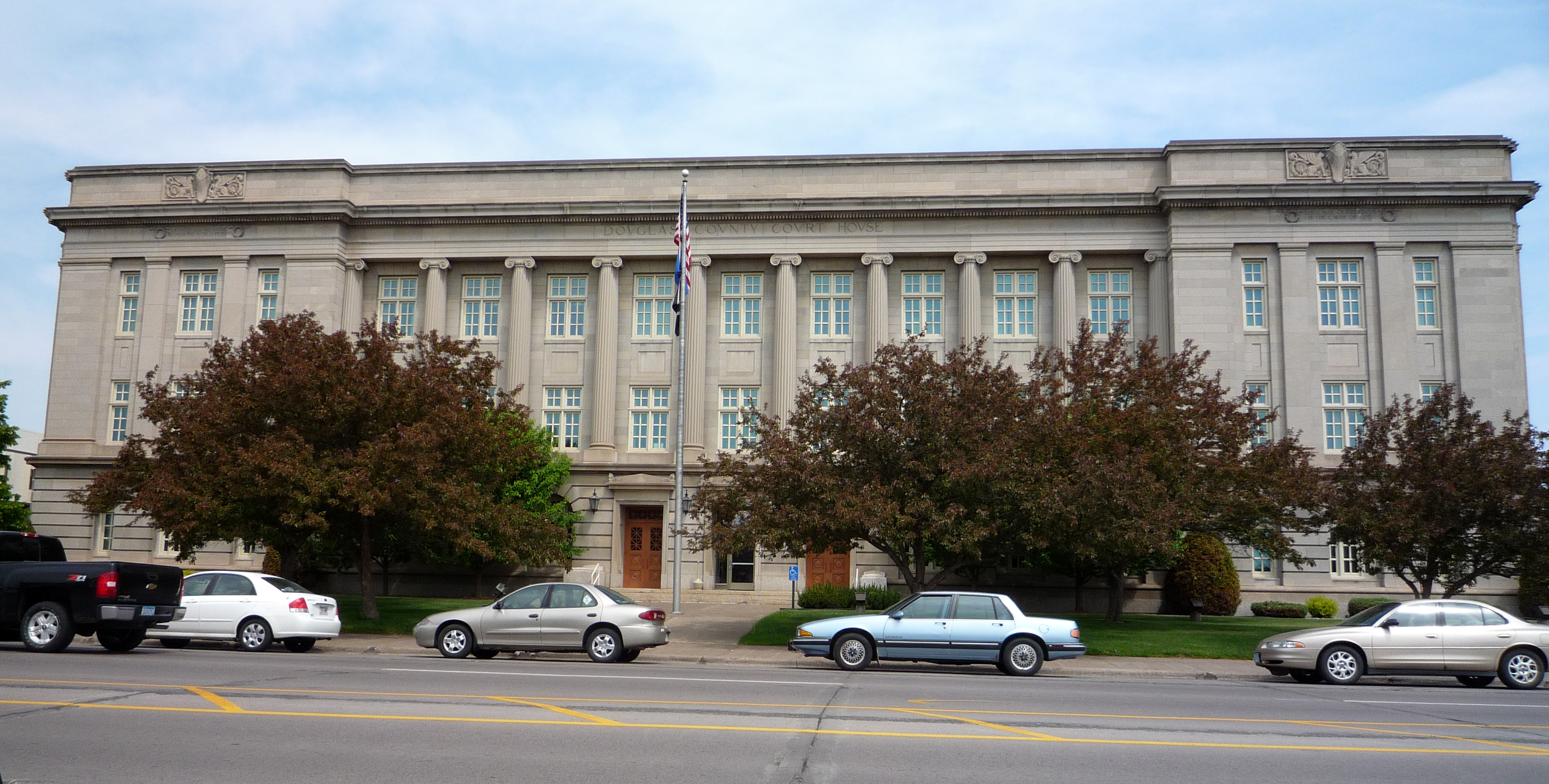
, native_name_lang = oj , nickname = , total_type = , motto = , image_skyline = Tower Avenue.jpg , imagesize = , image_caption = Downtown Superior , image_flag = , flag_size = , image_seal = , seal_size = , image_shield = , shield_size = , image_blank_emblem = , blank_emblem_type = , blank_emblem_size = , pushpin_map = Wisconsin , pushpin_label_position = , pushpin_map_caption = Location of the city of Superiorin Douglas County, Wisconsin , pushpin_mapsize = , subdivision_type = Country , subdivision_name = United States , subdivision_type1 = U.S. state, State , subdivision_name1 = Wisconsin , subdivision_type2 = List of counties in Wisconsin, County , subdivision_name2 = Douglas County, Wisconsin, Douglas , seat_ty ... [...More Info...] [...Related Items...] OR: [Wikipedia] [Google] [Baidu] |
Whaleback
] A whaleback was a type of cargo steamship of unusual design, with a hull that continuously curved above the waterline from vertical to horizontal. When fully loaded, only the rounded portion of the hull (the "whaleback" proper) could be seen above the waterline. With sides curved in towards the ends, it had a Spoon-shaped bow, spoon bow and a very convex upper deck. It was formerly used on the Great Lakes of Canada and the United States, notably for carrying grain or ore. The sole surviving ship of the "whaleback" design is the , which is docked in Superior, Wisconsin as a museum ship. The term developed in common usage in response to the ship's appearance when fully loaded. A total of 44 such vessels were constructed from 1887 to 1898. All but two were built initially as lake freighters for service on the Great Lakes. Six were built at Duluth, Minnesota; 33 were built at West Superior, Wisconsin; 2 at Brooklyn, New York; one at Everett, Washington; and one at Sunderland, Eng ... [...More Info...] [...Related Items...] OR: [Wikipedia] [Google] [Baidu] |
Blizzard
A blizzard is a severe snowstorm characterized by strong sustained winds and low visibility, lasting for a prolonged period of time—typically at least three or four hours. A ground blizzard is a weather condition where snow is not falling but loose snow on the ground is lifted and blown by strong winds. Blizzards can have an immense size and usually stretch to hundreds or thousands of kilometres. Definition and etymology In the United States, the National Weather Service defines a blizzard as a severe snow storm characterized by strong winds causing blowing snow that results in low visibilities. The difference between a blizzard and a snowstorm is the strength of the wind, not the amount of snow. To be a blizzard, a snow storm must have sustained winds or frequent gusts that are greater than or equal to with blowing or drifting snow which reduces visibility to or less and must last for a prolonged period of time—typically three hours or more. Environment Canada defin ... [...More Info...] [...Related Items...] OR: [Wikipedia] [Google] [Baidu] |
SS Meteor (1896)
SS ''Meteor'' is the sole surviving ship of the unconventional "whaleback" design. The design, created by Scottish captain Alexander McDougall (1845-1923), Alexander McDougall, enabled her to carry a maximum amount of cargo with a minimum of draft. ''Meteor'' was built in 1896 in Superior, Wisconsin, United States, and, with a number of modifications, sailed until 1969. She is now a museum ship in the city of her construction. History ''Meteor'' was built by the American Steel Barge Company (ASB) at their yard in Superior, Wisconsin in the summer of 1896 as ''Frank Rockefeller''; number 36 of 44 whalebacks built between 1888 and 1898. McDougall's expense records listed the cost of construction of ''Frank Rockefeller'' as $181,573.38. She was built for the ASB fleet and joined their barges and steamers in the movement of iron ore from Lake Superior ports down to the steel mills of Lake Erie and coal back up the lakes. She also carried grain on occasion. As a steamer, she oft ... [...More Info...] [...Related Items...] OR: [Wikipedia] [Google] [Baidu] |
US 61
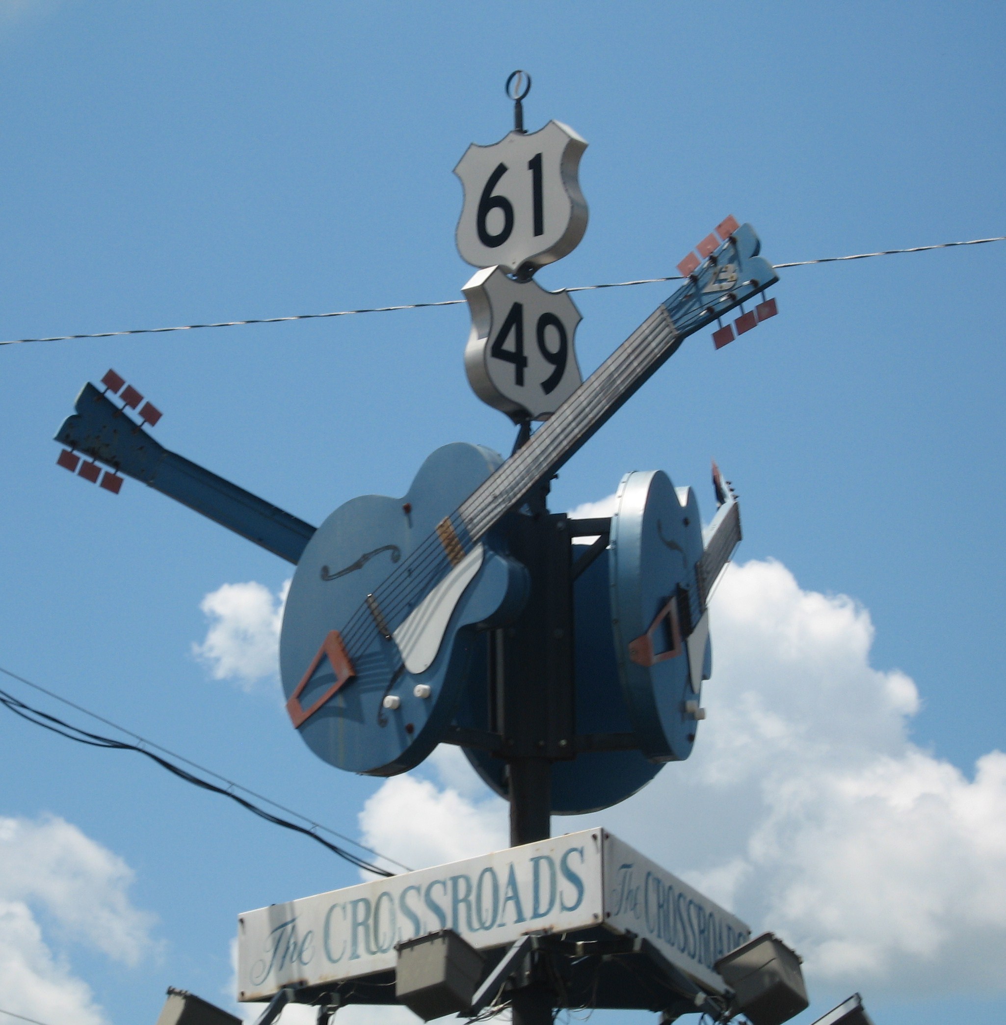
U.S. Route 61 or U.S. Highway 61 (U.S. 61) is a major United States highway that extends between New Orleans, Louisiana and the city of Wyoming, Minnesota. The highway generally follows the course of the Mississippi River and is designated the Great River Road for much of its route. As of 2004, the highway's northern terminus in Wyoming, Minnesota, is at an intersection with Interstate 35 (I-35). Until 1991, the highway extended north on what is now Minnesota State Highway 61 (MN 61) through Duluth to the Canada–U.S. border near Grand Portage. Its southern terminus in New Orleans is at an intersection with U.S. Route 90 (US 90). The route was an important south–north connection in the days before the interstate highway system. The highway is often called the Blues Highway because of its long history in blues music; Part of the route lies on the Mississippi Blues Trail and is denoted by markers in Vicksburg and Tunica. It is also the subject of numerous musical works, ... [...More Info...] [...Related Items...] OR: [Wikipedia] [Google] [Baidu] |
Fort William, Ontario
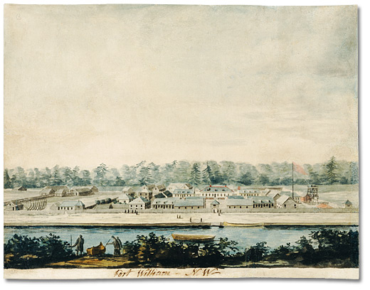
Fort William was a city in Ontario, Canada, located on the Kaministiquia River, at its entrance to Lake Superior. It amalgamated with Port Arthur and the townships of Neebing and McIntyre to form the city of Thunder Bay in January 1970. Since then it has been the largest city in Northwestern Ontario. The city's Latin motto was ''A posse ad esse'' (''From a possibility to an actuality''), featured on its coat of arms designed in 1900 by town officials, "On one side of the shield stands an Indian dressed in the paint and feathers of the early days; on the other side is a French voyageur; the center contains a grain elevator, a steamship and a locomotive, while the beaver surmounts the whole." History Fur trade era Fort William and Grand Portage were the two starting points for the canoe route from the Great Lakes to Western Canada. For details of the route inland see Kaministiquia River. French period (Fort Kaministiquia) Kamanistigouian, as a place, is first mentioned in a decr ... [...More Info...] [...Related Items...] OR: [Wikipedia] [Google] [Baidu] |
Kaministiquia River
The Kaministiquia River is a river which flows into western Lake Superior at the city of Thunder Bay, Ontario. ''Kaministiquia'' (''Gaa-ministigweyaa'') is an Ojibwe word meaning "where a stream flows in island" due to two large islands (McKellar and Mission) at the mouth of the river. The delta has three branches or outlets, reflected on early North American maps in French as "les trois rivières" (the three rivers): the southernmost is known as the Mission River, the central branch as the McKellar River, and the northernmost branch as the Kaministiquia. Residents of the region commonly refer to the river as the Kam River. Water flow in the Kaministiquia River system is regulated at the Dog Lake dams 1 and 2 and at the Greenwater, Kashabowie and Shebandowan dams. Two generating stations, one at Kakabeka Falls (25 MW) and another at Silver Falls (48 MW), are operated by Ontario Power Generation (OPG), a public company wholly owned by Government of Ontario. Geography Kakabeka ... [...More Info...] [...Related Items...] OR: [Wikipedia] [Google] [Baidu] |
Grand Portage
Grand Portage National Monument is a U.S. National Monument, United States National Monument located on the north shore of Lake Superior in northeastern Minnesota that preserves a vital center of fur trade activity and Anishinaabeg Ojibwe heritage. The area became one of the British Empire's four main fur trading centers in North America, along with Fort Niagara, Fort Detroit, and Fort Michilimackinac, Michilimackinac. The ''Grand Portage'' is an (2720 Rod (length), rod) portage, footpath which bypasses a set of waterfalls and rapids on the last of the Pigeon River (Minnesota–Ontario), Pigeon River before it flows into Lake Superior. This path is part of the historic trade route of the French-Canadian voyageurs and coureur des bois between their wintering grounds and their depots to the east. Composed of the Pigeon River and other strategic interior streams, lakes, and portages, this route was of enormous importance in pre-industrial times. It provided quick water access from ... [...More Info...] [...Related Items...] OR: [Wikipedia] [Google] [Baidu] |
Susie Islands
The Susie Islands (The Susies) are a group of thirteen islands off the coast of the North Shore of Lake Superior in the Arrowhead Region of Minnesota. The outermost island is Lucille, and like Susie and Francis islands, it was named for a member of the Falconer family who once lived on Susie, mining its copper ore during the early 1900s. The Nature Conservancy and the Grand Portage Band of the Chippewa Tribe are working cooperatively to ensure that the area will remain intact and that the unique and unusual flora of the islands will survive. Susie Island was previously owned by the Nature Conservancy and held as the Francis Lee Jaques Memorial Preserve and is the home to some of Minnesota's rarest plants, including alpine bistort and slender hairgrass, both species of special concern, mountain or rock cranberry and common bearberry. In 2017, the Nature Conservancy returned the island to the Grand Portage Band of the Chippewa Tribe. Other diverse plant species include Norwe ... [...More Info...] [...Related Items...] OR: [Wikipedia] [Google] [Baidu] |


_Team.jpg)


