|
List Of Regional Rural Banks In Uttar Pradesh
Following is list of regional rural banks in Uttar Pradesh ,: NOTE * Amalgamation of Gramin Bank of Aryavart and Allahabad UP Gramin Bank in Aryavart Bank on 1 April 2019. * Amalgamation of Prathama Bank and Sarva UP Gramin Bank in Prathama UP Gramin Bank on 1 April 2019. * Amalgamation of Purvanchal Bank, Kashi Gomti Samyut Gramin Bank and Baroda UP Gramin Bank in Baroda UP Bank on 1 April 2020. References {{Reflist External linksList of Gramin Banks in India- status updated in 2018 Banks A bank is a financial institution that accepts deposits from the public and creates a demand deposit while simultaneously making loans. Lending activities can be directly performed by the bank or indirectly through capital markets. Because ... Lists of banks in India ... [...More Info...] [...Related Items...] OR: [Wikipedia] [Google] [Baidu] |
Gramin Bank Of Aryavart
The Aryavart Bank (''AB'') is an Indian Regional Rural Bank (RRB) in Uttar Pradesh established on 1 April 2019. The bank was formed by the amalgamation of Gramin Bank of Aryavart and Allahabad UP Gramin Bank. It currently has 1365 branches and 22 regional offices in rural areas of Uttar Pradesh, around Lucknow. It functions under Regional Rural Banks' Act 1976 and is sponsored by Bank of India.Allahabad UP Gramin Bank and Gramin Bank of Aryavart are mergering with name Aryavart Bank e.r.f 01.04.2019. It is under the ownership of Ministry of Finance , Government of India. Bank structure The Head Office is located at Lucknow. There are over twenty regional offices. The Aryavart Bank is operating in 26 districts namely Agra, Aligarh, Ayodhya, Bahraich, Banda, Barabanki, Chitrakoot, Etah, Farrukhabad, Firozabad, Hamirpur, Hardoi, Hathras, Jalaun, Kannauj, Kasganj, Lakhimpur, Lucknow, Mahoba, Mainpuri, Mathura, Mirzapur, Shravasti, Sitapur, Sonbhadra and Unnao in the State of Uttar Pr ... [...More Info...] [...Related Items...] OR: [Wikipedia] [Google] [Baidu] |
Kasganj District
Kasganj district is a district of the Indian state Uttar Pradesh. It is located in the division of Aligarh and consists of Kasganj, Patiali and Sahawar tehsils. Its headquarters is at Kasganj. History The district lies in the cultural region of Braj. Kasganj was established on 15 April 2008 by separating Kasganj, Patiali and Sahawar tehsils from Etah district. For a while, the district was named after a politician, Kanshi Ram. The decision taken by Mayawati, chief minister of Uttar Pradesh and president of the BSP provoked protests by lawyers who had proposed to call it in honor of Sant Sant Tulsidas, who was born in the district, that place known as Soron (Sukarkshetra). The district reverted to its original name in 2012. Adjacent districts of Kasganj are Aligarh, Budaun, Etah, Farrukhabad and Khair Tehsil. Demographics According to the 2011 census Kasganj district has a population of 1,436,719, roughly equal to the nation of Eswatini or the US state of Hawaii. This gi ... [...More Info...] [...Related Items...] OR: [Wikipedia] [Google] [Baidu] |
Amroha
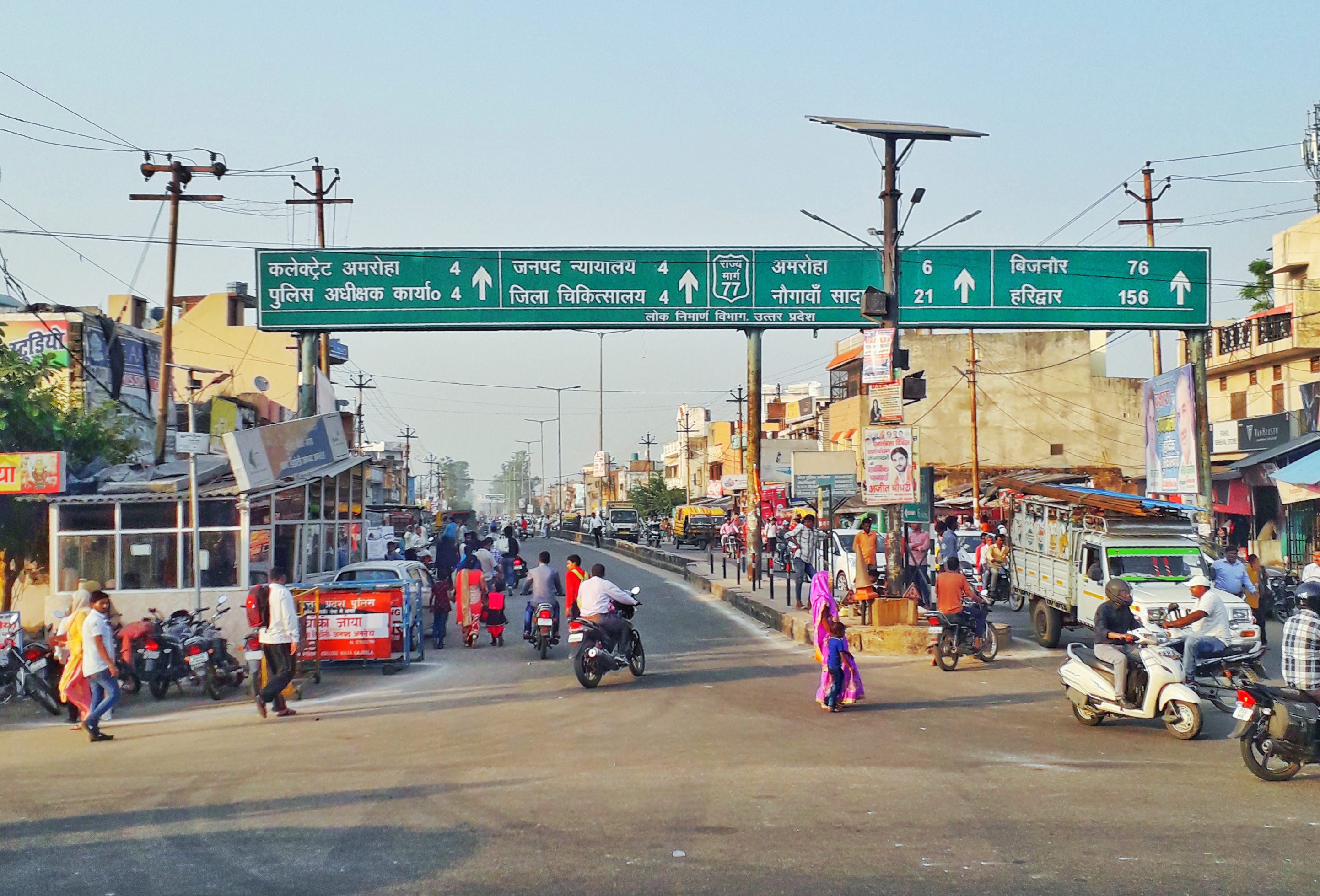
Amroha is a city in the state of Uttar Pradesh in India. It is located north-west of Moradabad, near the Ganga River. It is the administrative headquarters of the Amroha district. Geography Amroha is located north-west of Moradabad, near the Sot (सोत) River. Being just 130 km away, Amroha's weather is very similar to Delhi. The city is divided into localities and blocks. The climate of the Amroha is similar to other districts of Western Uttar Pradesh situated at the base of Himalaya which becomes hot in summer and dry & cold in winter. Demographics Amroha is a city in Uttar Pradesh. As per the 2011 census, Amroha had a population of 198,471. Population of children within the age group of 0–6 is 28323 which is 14.27% of total population of Amroha (NPP). In Amroha Nagar Palika Parishad, the female sex ratio is of 925 against state average of 912. Moreover, child sex ratio in Amroha is around 950 compared to Uttar Pradesh state average of 902. The total number of lit ... [...More Info...] [...Related Items...] OR: [Wikipedia] [Google] [Baidu] |
Punjab National Bank
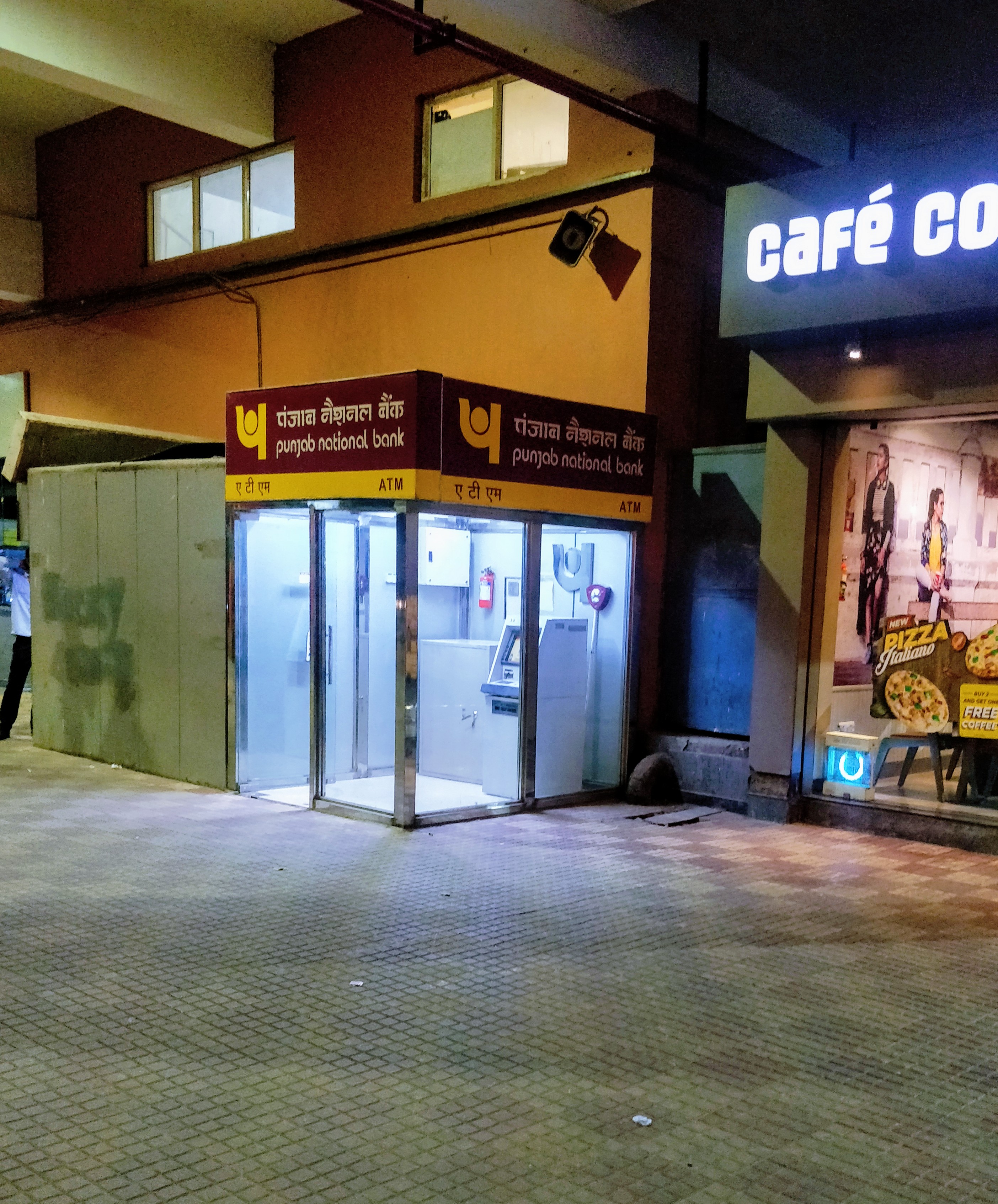
Punjab National Bank (abbreviated as PNB) is an Indian public sector bank headquartered in Delhi. The bank was founded in May 1894 and is the second largest government-owned bank in India, both in terms of its business volumes and its network. The bank has over 180 million customers, 12,248 branches, and 13,000+ ATMs. PNB has a banking subsidiary in the UK (PNB International Bank, with seven branches in the UK), as well as branches in Hong Kong, Kowloon, Dubai, and Kabul. It has representative offices in Almaty (Kazakhstan), Dubai (United Arab Emirates), Shanghai (China), Oslo (Norway), and Sydney (Australia). In Bhutan, it owns 51% of Druk PNB Bank, which has five branches. In Nepal, PNB owns 20% of Everest Bank, which has 122 branches. PNB also owns 41.64% of JSC (SB) PNB Bank in Kazakhstan, which has four branches. History Punjab National Bank is a PSU working under the government of India regulated by the Reserve Bank of India Act, 1934 and the Banking Regulation Act, ... [...More Info...] [...Related Items...] OR: [Wikipedia] [Google] [Baidu] |
Prathama UP Gramin Bank
Prathama UP Gramin Bank was created on 1 April 2019 by the amalgamation of two regional rural banks in Uttar Pradesh: * Prathama Bank * Sarva UP Gramin Bank The creation of Prathama UP Gramin Bank took place under Sub-Section (1) of Section 23A of the Regional Rural Bank Act, 1976 (21 of 1976). The bank has 938 branches around 19 districts of Uttar Pradesh; it will also have one branch in Haridwar District of Uttarakhand.http://sify.com/finance/fullstory.php?id=14573295 The bank is sponsored by the Punjab National Bank. See also * List of banks in India * List of regional rural banks in Uttar Pradesh Following is list of regional rural banks in Uttar Pradesh ,: NOTE * Amalgamation of Gramin Bank of Aryavart and Allahabad UP Gramin Bank in Aryavart Bank on 1 April 2019. * Amalgamation of Prathama Bank and Sarva UP Gramin Bank in Prathama ... References {{Reflist External links Official site Regional rural banks of Uttar Pradesh Companies based in Meerut 2019 ... [...More Info...] [...Related Items...] OR: [Wikipedia] [Google] [Baidu] |
Unnao District
Unnao district is a district of Uttar Pradesh state in northern India. The city of Unnao is the district headquarters. The district is part of Lucknow Division. As of the 2011 census, Unnao district has a population of 3,108,367, making it the 31st-most populous district in Uttar Pradesh. It is a predominantly rural district, with over 80% of the population living in rural areas. Unnao District is known as "The Land Of Pen and Sword" (कलम और तलवार की धरती). History Unnao district was created by the British upon their annexation of Oudh State in February 1856. Before then, under the Nawabs of Awadh, the area was divided between several different districts or : Purwa covered the eastern part, and to the north were Rasulabad and Safipur. The pargana of Auras, meanwhile, was part of the chakla of Sandila, and the parganas of Baiswara were included in the chakla of the same name, whose headquarters were at Rae Bareli. After the British takeover, ... [...More Info...] [...Related Items...] OR: [Wikipedia] [Google] [Baidu] |
Sonbhadra District
Sonbhadra or ''Sonebhadra'' is the second largest district by area of Uttar Pradesh after Lakhimpur Kheri. It is the only district in India which borders four states, namely Madhya Pradesh to the west, Chhattishgarh to the south, Jharkhand in the south-east and Bihar to the north-east. The district has an area of and a population of 1,862,559 (2011 census), with a population density of . It lies in the extreme south-east of the state, and is bounded by Mirzapur District to the northwest, Chandauli District to the north, Kaimur district, Kaimur and Rohtas district, Rohtas districts of Bihar state to the north-east, Garhwa district of Jharkhand state to the east, Balrampur district, Chhattisgarh, Balrampur District of Chhattisgarh state to the south, and Singrauli district of Madhya Pradesh state to the west. The district headquarters is in the town of Robertsganj. Sonbhadra district is an industrial zone and it has much bauxite, limestone, coal, gold, etc. It is called the "Energ ... [...More Info...] [...Related Items...] OR: [Wikipedia] [Google] [Baidu] |
Shravasti District
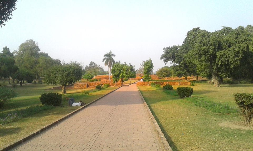
Shravasti district is one of the districts of the Uttar Pradesh state of India, with Bhinga town as its district headquarters. Shravasti district is a part of Devipatan Division. According to Government of India, it is among the 121 minority concentrated districts in India. It is the fourth most backward district in India, according to the 2018 Niti Aayog ranking. This district is the most poverty stricken district in the country. History Shravasti, the north-eastern town of Uttar Pradesh, is located near the West Rapti River. This town is closely associated with the life of Gautama Buddha, who is believed to have spent 24 Chaturmases here. Age-old stupas, majestic viharas and several temples near the village of "Sahet-Mahet" establish Buddha's association with Shravasti. According to Nagarjuna, the city had a population of 900,000 in 5th century BCE and it even overshadowed Magadha's capital, Rajgir. As mentioned in the 'Bruhatkalpa' and various Kalpas of the fourteenth cen ... [...More Info...] [...Related Items...] OR: [Wikipedia] [Google] [Baidu] |
Sitapur District
Sitapur district is one of the districts which is situated in Uttar Pradesh state of India, with Sitapur town as the district headquarters. Sitapur district is a part of Lucknow division. History Sitapur was first constituted as a district by the British after their takeover of Oudh State in February 1856. Before that, under the Mughal Empire and then the Nawabs of Awadh, the area had been divided between multiple administrative units. Even earlier, under the Delhi Sultanate, it appears that the territory of the current district was part of the province of Bahraich, but this is unclear because contemporary sources do not mention this area. During the reign of Akbar, the area of today's Sitapur district was divided between four sarkars, all in the Subah of Awadh. Most of it was in the sarkar of Khairabad: this area comprised the mahals of Haveli Khairabad, Hargam, Laharpur, Biswan, Machhrehta, Sitapur (called "Chhitiapur" in the Ain-i-Akbari), Sadrpur, Nimkhar (a large ... [...More Info...] [...Related Items...] OR: [Wikipedia] [Google] [Baidu] |


