|
List Of Municipal Flags Of Tōhoku Region
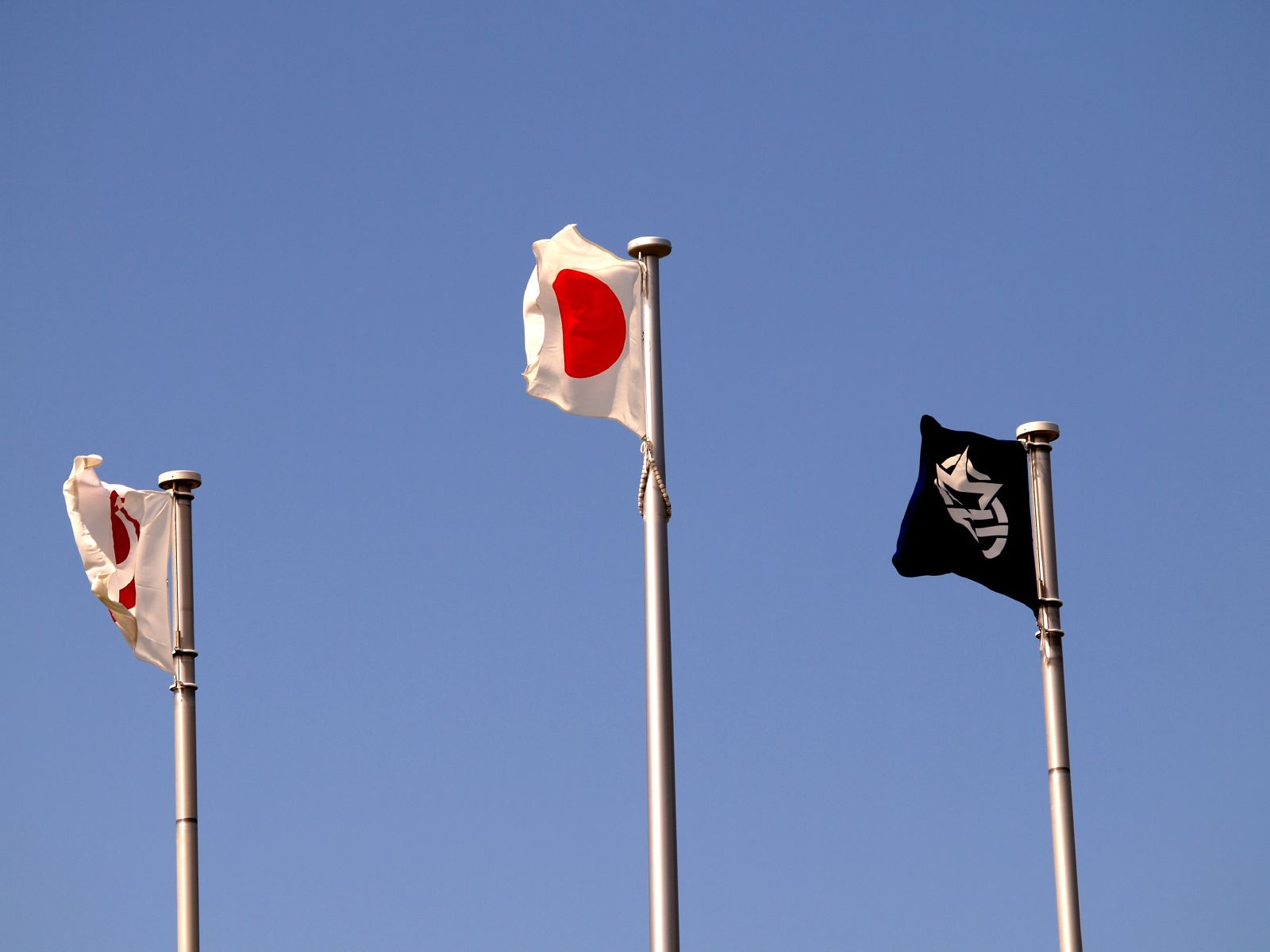
This page lists the municipal flags of Tōhoku region, Japan. It is a part of the List of Japanese municipal flags, which is split into regions due to its size. Complete lists of Japanese municipal flags pages * List of municipal flags of Hokkaidō * List of municipal flags of Tōhoku region * List of municipal flags of Kantō region * List of municipal flags of Chūbu region * List of municipal flags of Kansai region * List of municipal flags of Chūgoku region * List of municipal flags of Shikoku * List of municipal flags of Kyūshū Aomori Prefecture Cities Towns and villages Historical Iwate Prefecture Cities Towns and villages Historical Miyagi Prefecture Cities File:Flag of Higashimatsushima, Miyagi.svg, File:Flag of Ishinomaki, Miyagi.svg, File:Flag of Iwanuma, Miyagi.svg, File:Flag of Kakuda, Miyagi.svg, File:Flag of Kesennuma Miyagi.svg, File:Flag of Kurihara, Miyagi.svg, File:Flag of Natori, Miyagi.svg, File:Flag of Osaki, Miyagi.svg, ... [...More Info...] [...Related Items...] OR: [Wikipedia] [Google] [Baidu] |
List Of Japanese Municipal Flags
The list of Japanese municipal flags lists the flags of municipalities of Japan. Most municipalities of Japan have unique flags. Like prefectural flags, most of them are with a bicolor geometric highly stylized symbol (''mon''), often incorporating characters from Japanese writing system (kanji, hiragana, katakana, or rōmaji). Therefore, the list will also discuss the emblems. Complete lists of Japanese municipal flags pages Because of its size, the list is split into 8 sub pages of regions: # List of municipal flags of Hokkaidō # List of municipal flags of Tōhoku region # List of municipal flags of Kantō region # List of municipal flags of Chūbu region # List of municipal flags of Kansai region # List of municipal flags of Chūgoku region # List of municipal flags of Shikoku # List of municipal flags of Kyūshū Flags of government ordinance cities File:Flag of Chiba, Chiba.svg, File:Flag of Fukuoka City.svg, File:Flag of Hamamatsu, Shizuoka.svg, File:Fl ... [...More Info...] [...Related Items...] OR: [Wikipedia] [Google] [Baidu] |
Kuroishi, Aomori
is a city located in Aomori Prefecture, Japan. , the city had an estimated population of 32,900 in 13818 households and a population density of 150 persons per km2. The total area of the city is . Geography Kuroishi is located in west-central Aomori Prefecture, bordered by the Hakkōda Mountains to be east. Part of the city is within the borders of the Kuroishi Onsenkyō Prefectural Natural Park. Neighboring municipalities Aomori Prefecture * Aomori * Hirakawa * Fujisaki * Inakadate Climate The city has a cold humid continental climate (Köppen ''Dfa'') characterized by warm short summers and long cold winters with heavy snowfall. The average annual temperature in Kuroishi is 9.6 °C. The average annual rainfall is 1343 mm with September as the wettest month. The temperatures are highest on average in August, at around 23.3 °C, and lowest in January, at around -2.9 °C. Demographics Per Japanese census data, the population of Kuroishi has declined ov ... [...More Info...] [...Related Items...] OR: [Wikipedia] [Google] [Baidu] |
Imabetsu
is a town located in Aomori Prefecture, Japan and a part of the Aomori metropolitan area. , the town had an estimated population of 2,562 in 1414 households, and a population density of 20 persons per km2. The total area of the town is . Geography Imabetsu is in Higashitsugaru District of Aomori Prefecture, and occupies the northern coastline of Tsugaru Peninsula, facing Tsugaru Strait. Much of the town is within the limits of the Tsugaru Quasi-National Park. Neighbouring municipalities *Aomori Prefecture **Goshogawara ** Sotogahama Climate The town has a cold humid continental climate (Köppen ''Cfb'') characterized by warm short summers and long cold winters with heavy snowfall. The average annual temperature in Imabetsu is 10.2 °C. The average annual rainfall is 1249 mm with September as the wettest month. The temperatures are highest on average in August, at around 22.9 °C, and lowest in January, at around -1.4 °C. Demographics Per Japanese cens ... [...More Info...] [...Related Items...] OR: [Wikipedia] [Google] [Baidu] |
Hiranai
( ain, ピラナィ, piranay) is a List of towns in Japan, town located in Aomori Prefecture, Japan and a part of the Aomori metropolitan area. , the town had an estimated population of 10,460 in 4,860 households, and a population density of 48 persons per km². It is the most heavily populated town in Higashitsugaru District, Aomori, Higashitsugaru District. The total area of the town is . Etymology The name Hiranai is thought to have originated from the Ainu who originally inhabited the area. The Ainu words for and are said to be the original name of the area, due to its geography as a river valley in the interior of the mountainous Natsudomari Peninsula. However, the current Japanese pronunciation and meaning of the town's name, is descriptive of the valley, but is based on the flat area inside of the mountains or the bay that surrounds it. History During the Edo period, Hiranai was a village. On 17 September 1656, the village became part of Kuroishi Domain controlled by ... [...More Info...] [...Related Items...] OR: [Wikipedia] [Google] [Baidu] |
Higashidōri
is a village located in Aomori, Japan. , the village had an estimated population of 5,913 in 2829 households, and a population density of 20 persons per km² . Its total area is . Geography Higashidōri occupies the northeastern coastline of Shimokita Peninsula, facing the Pacific Ocean to the east and Tsugaru Strait to the north, with Cape Shiriya forming a boundary between the two waters. The low Shimokita Hills run north-south through the center of the village. Mount Kuwabata, the highest point in the village at an elevation of 402 meters. To the west of the Shimokita Hills is the Tanabe Plain, which borders Mutsu City. There are large sand dunes and several swamps near the eastern coast, and many rivers flow to the sea. Hamlets are scattered throughout the coastline of the village, which does not have a well-defined center. Parts of the village are within the limits of the Shimokita Hantō Quasi-National Park. In the year 2002, the Ministry of the Environment classified so ... [...More Info...] [...Related Items...] OR: [Wikipedia] [Google] [Baidu] |
Hashikami, Aomori
is a town located in Aomori Prefecture, Japan. , the town had an estimated population of 13,494, and a population density of 140 persons per km2 in 5,950 households. The total area of the town is . Geography Hashikami occupies the far southeast corner of Aomori Prefecture, facing the Pacific Ocean. The coastline is rugged and highly indented, forming numerous small bays. Inland, the land is hilly, rising to the west to a height of at the highest point. A portion of the coastal areas of the town were within the borders of the Tanesashi Kaigan Hashikamidake Prefectural Natural Park, which was incorporated into the Sanriku Fukkō National Park in 2013. Neighbouring municipalities Aomori Prefecture *Hachinohe Iwate Prefecture * Karumai * Hirono Climate The town has a cold maritime climate characterized by cool, short summers and long, cold winters with heavy snowfall (Köppen climate classification ''Cfa''). The average annual temperature in Hashikami is 9.5 °C. The averag ... [...More Info...] [...Related Items...] OR: [Wikipedia] [Google] [Baidu] |
Gonohe, Aomori
is a town located in Aomori Prefecture, Japan. , the town had an estimated population of 16,880, and a population density of 95 persons per km2 in 7,006 households. The total area of the town is . Geography Gonohe is located in the north-eastern part of Sannohe District, approximately 16 kilometres west of Hachinohe City and 10 kilometres southeast of Towada City. The town is adjacent to Hachinohe City to the east, Shingō Village to the west, Nanbu Town to the south, and Towada City, Oirase Town and Rokunohe Town to the north. The land extends 16.8 kilometres east to west and 18.55 kilometres north to south. The Gonohegawa River, which flows from Mt. Heraidake into the Pacific Ocean, and the Asamizugawa River, which originates from a hot spring swamp to join the Mabechi River, run parallel to each other through the town. While embracing these two rivers, residential areas have formed, and rice fields can be found in the flat areas that benefit from the favourable flows o ... [...More Info...] [...Related Items...] OR: [Wikipedia] [Google] [Baidu] |
Fukaura, Aomori
is a town located in Aomori Prefecture, Japan. , the town had an estimated population of 7,903 in 3695 households, and a population density of 16 persons per km². The total area of the town is . Geography Fukaura is in Nishitsugaru District, Aomori, and occupies the far southwestern coastline of Aomori Prefecture, facing the Sea of Japan. The southwestern corner of the town is located within the borders of the Shirakami-Sanchi, a UNESCO World Heritage Site, and some coastal areas of the town are within the Tsugaru Quasi-National Park. The islets of Kyūroku-jima in the Sea of Japan are located within the boundaries of the town, giving it the westernmost point of Aomori Prefecture. Neighbouring municipalities *Aomori Prefecture ** Ajigasawa *Akita Prefecture ** Happō Climate The town has a cold humid continental climate (Köppen ''Dfb'') characterized by warm short summers and long cold winters with heavy snowfall. The average annual temperature in Fukaura is 7.4 °C. ... [...More Info...] [...Related Items...] OR: [Wikipedia] [Google] [Baidu] |
Fujisaki, Aomori
is a town in Aomori Prefecture, Japan. , the town had an estimated population of 14,921 in 6068 households, and a population density of 400 persons per km². The total area of the town is . Geography Fujisaki occupies the flatlands within Minamitsugaru District of south-central Aomori. Neighboring municipalities *Aomori * Kuroishi *Hirosaki * Kitatsugaru District ** Itayanagi * Minamitsugaru District ** Inakadate Climate The town has a cold humid continental climate (Köppen ''Dfb'') characterized by warm short summers and long cold winters with heavy snowfall. The average annual temperature in Fujisaki is 10.6 °C. The average annual rainfall is 1288 mm with September as the wettest month. The temperatures are highest on average in August, at around 24.0 °C, and lowest in January, at around -1.8 °C. Demographics Per Japanese census data, the population of Fujisaki has steadily decreased over the past 60 years. History During the Edo period, the area ... [...More Info...] [...Related Items...] OR: [Wikipedia] [Google] [Baidu] |
Hiragana
is a Japanese syllabary, part of the Japanese writing system, along with ''katakana'' as well as ''kanji''. It is a phonetic lettering system. The word ''hiragana'' literally means "flowing" or "simple" kana ("simple" originally as contrasted with kanji). Hiragana and katakana are both kana systems. With few exceptions, each mora in the Japanese language is represented by one character (or one digraph) in each system. This may be either a vowel such as ''"a"'' (hiragana あ); a consonant followed by a vowel such as ''"ka"'' (か); or ''"n"'' (ん), a nasal sonorant which, depending on the context, sounds either like English ''m'', ''n'' or ''ng'' () when syllable-final or like the nasal vowels of French, Portuguese or Polish. Because the characters of the kana do not represent single consonants (except in the case of ん "n"), the kana are referred to as syllabic symbols and not alphabetic letters. Hiragana is used to write ''okurigana'' (kana suffixes following a kanji ... [...More Info...] [...Related Items...] OR: [Wikipedia] [Google] [Baidu] |
Ajigasawa, Aomori
is a town located in Aomori Prefecture, Japan. , the town had an estimated population of 9,613 in 4542 households, and a population density of 28 persons per km2. The total area of the town is . Geography Ajigasawa is in Nishitsugaru District, Aomori southwestern corner of Aomori Prefecture on the border with Akita Prefecture, facing the Sea of Japan to the northwest, and the slopes of Mount Iwaki to the southeast. Part of the town is located within the borders of the Shirakami-Sanchi, a UNESCO World Heritage Site, and some coastal areas of the town are within the Tsugaru Quasi-National Park. The Akaishi Keiryū Anmon no Taki Prefectural Natural Park is also partly located within the borders of Ajigasawa. Neighbouring municipalities Aomori Prefecture *Hirosaki *Tsugaru *Fukaura * Nishimeya Akita Prefecture * Happō * Fujisato Climate The town has a cold humid continental climate (Köppen ''Dfb'') characterized by warm short summers and long cold winters with heavy snowfall. ... [...More Info...] [...Related Items...] OR: [Wikipedia] [Google] [Baidu] |
Tsugaru, Aomori
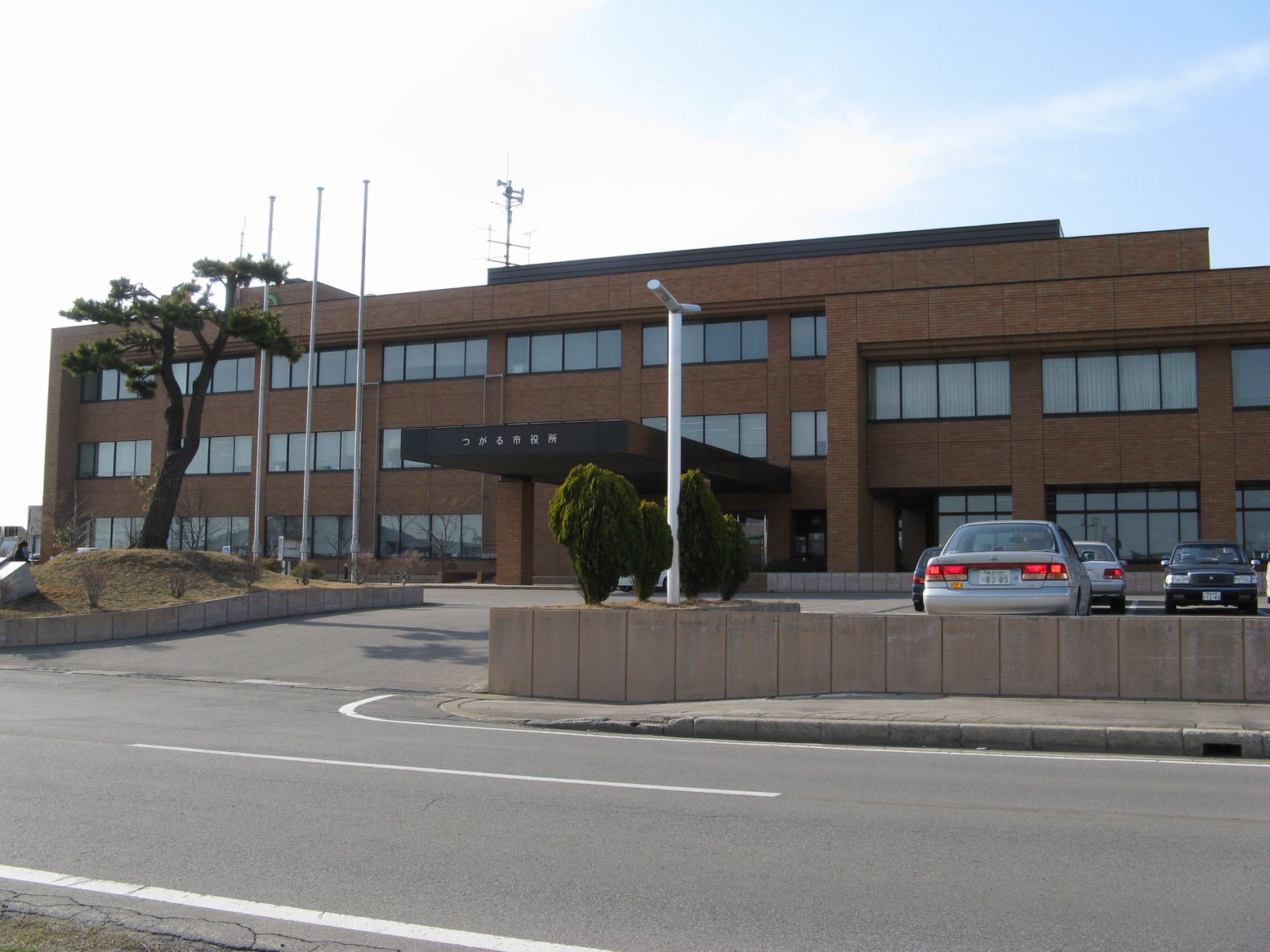
Dogū.html"_;"title="Jōmon_period_''Dogū">Jōmon_period_''Dogū''_statue_found_in_Tsugaru _is_a_Cities_of_Japan.html" "title="Dogū''_statue_found_in_Tsugaru.html" ;"title="Dogū.html" ;"title="Jōmon period ''Dogū">Jōmon period ''Dogū'' statue found in Tsugaru">Dogū.html" ;"title="Jōmon period ''Dogū">Jōmon period ''Dogū'' statue found in Tsugaru is a Cities of Japan">city located in Aomori Prefecture, Japan. , the city had an estimated population of 31,723 in 13,570 households, and a population density of 130 persons per km². The total area of the city is . The city's name is atypical for a Japanese place, in that it is written in ''hiragana'' rather than ''kanji'' (see ''hiragana cities''). Geography Tsugaru is located on the west coast of Tsugaru Peninsula, facing the Sea of Japan. The Iwaki River flows through the city. Parts of the city are within the borders of Tsugaru Quasi-National Park. Neighbouring municipalities Aomori Prefecture *Hirosaki *Goshogawa ... [...More Info...] [...Related Items...] OR: [Wikipedia] [Google] [Baidu] |
