|
List Of E-roads In Croatia
This is a list of the International E-road network, European Routes, or ''E-road'' highways, that run through the Croatia. The current network is signposted according to the 2016 system revision, and contains seven Class A roads and three Class B roads within the country. Most of the roads are motorways that also carry various national A-numbers (for ''Autocesta''), and there are several state roads with D-numbers (for ''Državna cesta''). Class-A European routes Class-B European routes See also * Highways in Croatia * Roads in Croatia * Ministry of Maritime Affairs, Transport and Infrastructure * Hrvatske autoceste * Hrvatske ceste References {{Reflist Lists of European routes by country, Croatia Road transport in Croatia ... [...More Info...] [...Related Items...] OR: [Wikipedia] [Google] [Baidu] |
Hrvatske Autoceste
Hrvatske autoceste (HAC) or Croatian Motorways Ltd is a Croatian state-owned limited liability company tasked with management, construction and maintenance of motorways in Croatia pursuant to provisions of the Croatian Public Roads Act ( hr, Zakon o javnim cestama) enacted by the Croatian Parliament. Tasks of the company are defined by Public Roads Act and its Founding Declaration, and the principal task of the company is management, construction and maintenance of the motorways. In practice, Hrvatske autoceste is responsible for management or development the following motorway sections: A8 and A9 highways, part of the "Istrian Y" are operated by BINA Istra, while A2 is operated by Autocesta Zagreb–Macelj. "Hrvatske autoceste" was established on April 6, 2001, under the law promulgated on April 5, 2001, with the share capital of the company worth 131,140,100.00 Croatian kuna. Hrvatske autoceste is organized in four business sectors: Design; Construction; Financial and Econo ... [...More Info...] [...Related Items...] OR: [Wikipedia] [Google] [Baidu] |
Rupa, Croatia
Rupa ( it, Ruppa) is a village in northwest Croatia near its border with Slovenia. It is located in Matulji ( it, Mattuglie) municipality in Primorje-Gorski Kotar County, 17 km from the town of Matulji. It has a population of 310 (census 2001). Rupa is a major border crossing between the two countries where Croatia's Autocesta A7 motorway connects with Slovenia's Highway 7. The Slovenian town opposite Rupa is Jelšane in Ilirska Bistrica municipality. With Slovenia joining the Schengen area The Schengen Area ( , ) is an area comprising 27 European countries that have officially abolished all passport and all other types of border control at their mutual borders. Being an element within the wider area of freedom, security and j ... on December 21, 2007, Rupa-Jelšane became a Schengen external border crossing. References {{coord, 45.478, N, 14.286, E, source:hrwiki_region:HR, format=dms, display=title Croatia–Slovenia border crossings Populated places in Primorje-Go ... [...More Info...] [...Related Items...] OR: [Wikipedia] [Google] [Baidu] |
Bregana
Bregana (; german: Bergana)''Leksikon občin kraljestev in dežel zastopanih v državnem zboru,'' vol. 6: ''Kranjsko''. 1906. Vienna: C. Kr. Dvorna in Državna Tiskarna, p. 68. is a settlement () that is part of the town of , , |
Karasovići
Debeli Brijeg is the main Montenegrin border crossing with Croatia. The Croatian checkpoint is known as Karasovići. It is located on the Adriatic Highway. Debeli Brijeg is in Herceg Novi municipality about 6 km from Igalo Igalo ( cnr, Игало, sr, Игало) is a small town in the Herceg Novi Municipality of Montenegro. It is accessible via the E65/ E80 north headed to Dubrovnik, Croatia. According to the 2003 Census, it has a population of 3,754. The town adj .... Croatia–Montenegro border crossings {{Montenegro-geo-stub ... [...More Info...] [...Related Items...] OR: [Wikipedia] [Google] [Baidu] |
Zaton Doli
Zaton Doli is a village in Croatia, on the border with Neum, Bosnia and Herzegovina. It is connected by the D8 highway. Demographics According to the 2021 census, its population was 56. – DZS Croatian Bureau of Statistics It was 61 in 2011
File:2011 Events Collage.png, From top left, clockwise: a protester partaking in Occupy Wall Street heralds the beginning of the Occupy movement; protests against Libyan dictator Muammar Gaddafi, who was killed that October; a young man celebrate ... .
References [...More Info...] [...Related Items...] OR: [Wikipedia] [Google] [Baidu] |
Ploče
Ploče (; it, Porto Tolero) is a town and seaport in the Dubrovnik-Neretva County of Croatia. Geography Ploče is located on the Adriatic coast in Dalmatia just north of the Neretva Delta and is the natural seaside endpoint of most north-south routes through the central Dinaric Alps. This makes it the primary seaport used by Bosnia and Herzegovina and the endpoint of the Pan-European corridor 5C. Čeveljuša is a toponym in Ploče, located to the east of the town, on the intersection of the D8 highway and the D425. Climate Ploče is the location of Croatia's high temperature record, measured at on 4 and 5 August 1981. History The town was first mentioned in 1387 as ''Ploča''. During the Kingdom of Yugoslavia, a port named ''Aleksandrovo'' after Alexander I of Yugoslavia was constructed in 1939. During the socialist Yugoslavia, between 1950 and 1954, and again from 1980 to 1990, Ploče was named ''Kardeljevo'' after the Yugoslav politician Edvard Kardelj. Some locals ... [...More Info...] [...Related Items...] OR: [Wikipedia] [Google] [Baidu] |
Mali Prolog
Mali Prolog is a village in Dubrovnik-Neretva County, Croatia on the border with Bosnia and Herzegovina. It is connected by the D222 highway, just northwest of Pojezerje Pojezerje is a municipality of Dubrovnik-Neretva County in the southwest of Croatia. It has a population of 1,223 (census 2001), in which absolute majority are Croats The Croats (; hr, Hrvati ) are a South Slavic ethnic group who share a .... Demographics According to the 2021 census, its population was only 10. In 2001 it had a population of 55. References Populated places in Dubrovnik-Neretva County {{DubrovnikNeretva-geo-stub ... [...More Info...] [...Related Items...] OR: [Wikipedia] [Google] [Baidu] |
Žuta Lokva
Žuta Lokva is a village in Croatia , image_flag = Flag of Croatia.svg , image_coat = Coat of arms of Croatia.svg , anthem = "Lijepa naša domovino"("Our Beautiful Homeland") , image_map = , map_caption = , capit .... External links Location on map Populated places in Lika-Senj County {{LikaSenj-geo-stub ... [...More Info...] [...Related Items...] OR: [Wikipedia] [Google] [Baidu] |
Senj
Senj (; it, Segna, la, Senia, Hungarian language, Hungarian and german: Zengg) is a town on the upper Adriatic coast in Croatia, in the foothills of the Mala Kapela and Velebit mountains. The symbol of the town is the Nehaj Fortress ( hr, Tvrđava Nehaj) which was completed in 1558. For a time this was the seat of the Uskoks ( it, Uscocchi), who were Christian refugees from Ottoman Bosnia resettled here to protect the Habsburg monarchy, Habsburg borderlands. The Republic of Venice accused the Uskoks of piracy and declared Uskok War, war on them which led to their expulsion following a truce in 1617. Senj is to be found in the Lika-Senj County of Croatia, the Roman Catholic Diocese of Gospić-Senj and the Roman Catholic Archdiocese of Rijeka. History Senj has apparently been inhabited since prehistoric times. A settlement called ''Athyinites'' in today's Senj was mentioned in Ancient Greece, Greek documents dated to 4th century BC. The Illyrians, Illyrian tribe Iapydes in ... [...More Info...] [...Related Items...] OR: [Wikipedia] [Google] [Baidu] |
Bakar, Croatia
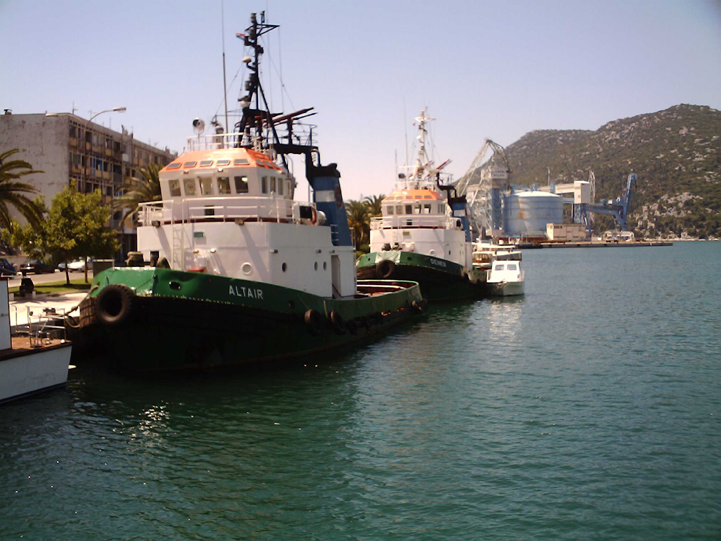
Bakar ( it, Buccari; hu, Szádrév) is a town in the Primorje-Gorski Kotar County in western Croatia. The population of the town was 8,279 according to the 2011 Croatian census, including 1,473 in the titular settlement. Ninety percent of the population declared themselves Croats by ethnicity. The largest ethnic minority are the Serbs with 2.91% of the population. The old part of Bakar is situated on a hill overlooking the Bay of Bakar. is the Croatian word for "copper". Bakar is a port for bulk cargo and used to be known for its industrial complex that included a coke factory, which produced a considerable amount of pollution. Bakar's coke factory was closed in 1995 and the area's pollution has subsided significantly. The historical core of Bakar was registered as a cultural monument in 1968. Municipality Demographics Coat of arms Bakar was granted its coat of arms and town privileges in 1799 by Francis II, Holy Roman Emperor. The coat of arms was in the artistic s ... [...More Info...] [...Related Items...] OR: [Wikipedia] [Google] [Baidu] |
Sveti Kuzam
Sveti Kuzam is a village located between Bakar and Rijeka in Primorje-Gorski Kotar County, Croatia. The village is administered as a part of the City of Rijeka. The village was recorded on the 2011 Croatian census A census is the procedure of systematically acquiring, recording and calculating information about the members of a given population. This term is used mostly in connection with national population and housing censuses; other common censuses incl ... as a settlement named "Bakar" with a population of 240. The 2006 law on administrative divisions mentions no other settlement within the City of Rijeka. On 27 February 2014, Rijeka city council passed a decision to annex the settlement (named "Bakar-dio (Sv. Kuzam")) to the settlement of Rijeka. References {{commonscat, Sveti Kuzam Populated places in Primorje-Gorski Kotar County ... [...More Info...] [...Related Items...] OR: [Wikipedia] [Google] [Baidu] |
Bosiljevo
Bosiljevo is a village and municipality in Karlovac County, Croatia. It is located in the Gorski Kotar region, 25 km south-west from Karlovac, on the highways A1 and A6 leading to Zagreb, Rijeka and Split. Settlements The total population of the municipality is 1,284, in the following forty-three settlements (villages and hamlets): * Beč, population 9 * Bitorajci, population 16 * Bosanci, population 40 * Bosiljevo, population 63 * Dani, population 8 * Dugače, population 14 * Fratrovci, population 31 * Fučkovac, population 23 * Glavica, population 34 * Grabrk, population 117 * Hrsina, population 41 * Jančani, population 26 * Johi, population 33 * Kasuni, population 58 * Korenić Brdo, population 2 * Kraljevo Selo, population 2 * Krč Bosiljevski, population 27 * Laslavići, population 1 * Lipošćaki, population 14 * Lisičina Gorica, population 5 * Malik, population 24 * Mateše, population 59 * Milani, population 10 * Novo Selo Bosiljevsko ... [...More Info...] [...Related Items...] OR: [Wikipedia] [Google] [Baidu] |


