|
Lincoln County, Oklahoma
Lincoln County is a county in eastern Central Oklahoma. As of the 2010 census, the population was 34,273. Its county seat is Chandler. Lincoln County is part of the Oklahoma City, OK Metropolitan Statistical Area. In 2010, the center of population of Oklahoma was in Lincoln County, near the town of Sparks. History The United States purchased the large tract of land known as the Louisiana Purchase from France in 1803. Washington Irving, Charles J. Latrobe, and Count Albert de Pourtalès accompanied Henry L. Ellsworth and others on an expedition in Indian Territory that may have passed through the far northwestern corner of the future Lincoln County. The Osage hunted on land that includes present-day Lincoln County until they ceded the area in an 1825 treaty to the federal government. The government then assigned the land to the Creek and the Seminoles after they were removed from the southeastern United States. Following Quapaw removal in 1834, several small groups of Quapa ... [...More Info...] [...Related Items...] OR: [Wikipedia] [Google] [Baidu] |
Abraham Lincoln
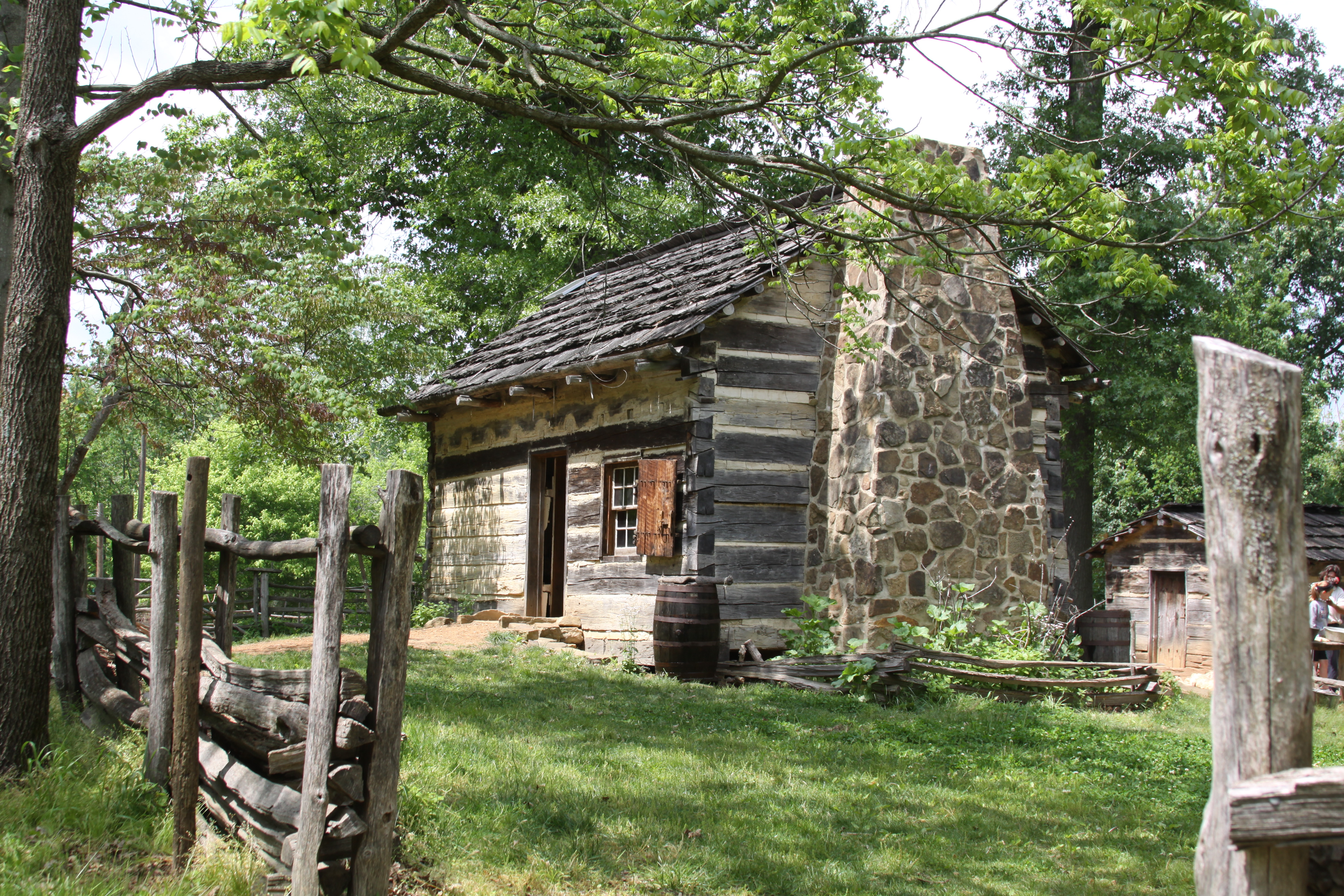
Abraham Lincoln ( ; February 12, 1809 – April 15, 1865) was an American lawyer, politician, and statesman who served as the 16th president of the United States from 1861 until his assassination in 1865. Lincoln led the nation through the American Civil War and succeeded in preserving the Union, abolishing slavery, bolstering the federal government, and modernizing the U.S. economy. Lincoln was born into poverty in a log cabin in Kentucky and was raised on the frontier, primarily in Indiana. He was self-educated and became a lawyer, Whig Party leader, Illinois state legislator, and U.S. Congressman from Illinois. In 1849, he returned to his successful law practice in central Illinois. In 1854, he was angered by the Kansas–Nebraska Act, which opened the territories to slavery, and he re-entered politics. He soon became a leader of the new Republican Party. He reached a national audience in the 1858 Senate campaign debates against Stephen A. Douglas. L ... [...More Info...] [...Related Items...] OR: [Wikipedia] [Google] [Baidu] |
Quapaw
The Quapaw ( ; or Arkansas and Ugahxpa) people are a tribe of Native Americans in the United States, Native Americans that coalesced in what is known as the Midwest and Ohio Valley of the present-day United States. The Dhegiha Siouan-speaking tribe historically migrated from the Ohio Valley area to the west side of the Mississippi River in what is now the state of Arkansas; their name for themselves (or autonym) refers to this migration and to traveling downriver. The Quapaw are federally recognized tribes, federally recognized as the Quapaw Nation. The US federal government forcibly removed them to Indian Territory in 1834, and their tribal base has been in present-day Ottawa County, Oklahoma, Ottawa County in northeastern Oklahoma. The number of members enrolled in the tribe was 3,240 in 2011. Name Algonquian languages, Algonquian-speaking people called the Quapaw ''akansa''. French explorers and colonists learned this term from Algonquians and adapted it in French as ''Arcans ... [...More Info...] [...Related Items...] OR: [Wikipedia] [Google] [Baidu] |
Red Bed Plains
Red is the color at the long wavelength end of the visible spectrum of light, next to orange and opposite violet. It has a dominant wavelength of approximately 625–740 nanometres. It is a primary color in the RGB color model and a secondary color (made from magenta and yellow) in the CMYK color model, and is the complementary color of cyan. Reds range from the brilliant yellow-tinged scarlet and vermillion to bluish-red crimson, and vary in shade from the pale red pink to the dark red burgundy. Red pigment made from ochre was one of the first colors used in prehistoric art. The Ancient Egyptians and Mayans colored their faces red in ceremonies; Roman generals had their bodies colored red to celebrate victories. It was also an important color in China, where it was used to color early pottery and later the gates and walls of palaces. In the Renaissance, the brilliant red costumes for the nobility and wealthy were dyed with kermes and cochineal. The 19th century brought the ... [...More Info...] [...Related Items...] OR: [Wikipedia] [Google] [Baidu] |
Sandstone Hills
Sandstone is a clastic sedimentary rock composed mainly of sand-sized (0.0625 to 2 mm) silicate grains. Sandstones comprise about 20–25% of all sedimentary rocks. Most sandstone is composed of quartz or feldspar (both silicates) because they are the most resistant minerals to weathering processes at the Earth's surface. Like uncemented sand, sandstone may be any color due to impurities within the minerals, but the most common colors are tan, brown, yellow, red, grey, pink, white, and black. Since sandstone beds often form highly visible cliffs and other topographic features, certain colors of sandstone have been strongly identified with certain regions. Rock formations that are primarily composed of sandstone usually allow the percolation of water and other fluids and are porous enough to store large quantities, making them valuable aquifers and petroleum reservoirs. Quartz-bearing sandstone can be changed into quartzite through metamorphism, usually related to tec ... [...More Info...] [...Related Items...] OR: [Wikipedia] [Google] [Baidu] |
Cross Timbers
The term Cross Timbers, also known as Ecoregion 29, Central Oklahoma/Texas Plains, is used to describe a strip of land in the United States that runs from southeastern Kansas across Central Oklahoma to Central Texas. Made up of a mix of prairie, savanna, and woodland, it forms part of the boundary between the more heavily forested eastern country and the almost treeless Great Plains, and also marks the western habitat limit of many mammals and insects. No major metropolitan areas lie wholly within the Cross Timbers, although roughly the western half of the Dallas-Fort Worth Metroplex does, including the cities of Fort Worth, Denton, Arlington, and Weatherford. The western suburbs of the Tulsa metropolitan area and the northeastern suburbs of the Oklahoma City metropolitan area also lie within this area. The main highways that cross the region are I-35 and I-35W going north to south (although they tend to skirt the Cross Timbers' eastern fringe south of Fort Worth) and I-4 ... [...More Info...] [...Related Items...] OR: [Wikipedia] [Google] [Baidu] |
Deep Fork Of The Canadian River
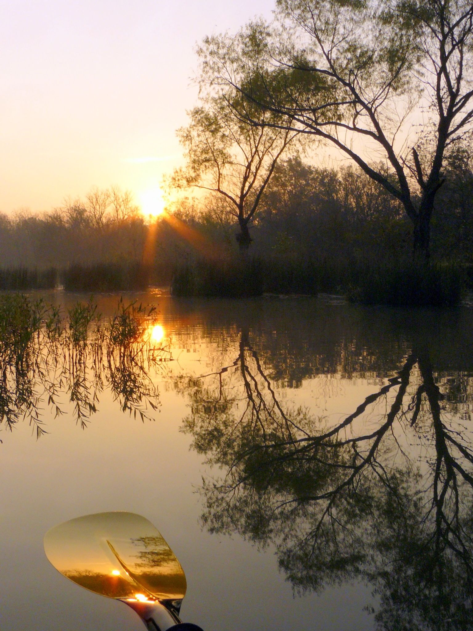
The Deep Fork River (Deep Fork of the North Canadian) is an Oklahoma tributary of the North Canadian River. The headwaters flow from northern Oklahoma City and the river empties into the North Canadian River, now impounded by Lake Eufaula. Course and characteristics The Deep Fork begins in and around northern Oklahoma City and flows eastward through Oklahoma County where five miles of the river is impounded by Arcadia Lake. Below the lake the river crosses into Lincoln County, winds back and forth across the Creek–Okfuskee county lines, crosses into Okmulgee County, meanders through the Deep Fork National Wildlife Refuge near the city of Okmulgee, and empties into Eufaula Lake near the Okmulgee– McIntosh County line. Communities along the waterway include Arcadia, Luther, Wellston, Warwick, Sparks, and Welty. The Deep Fork has a total length of and has a long narrow drainage basin averaging in width. The Deep Fork flows through a region of red sandstone hills and red ... [...More Info...] [...Related Items...] OR: [Wikipedia] [Google] [Baidu] |
United States Census Bureau
The United States Census Bureau (USCB), officially the Bureau of the Census, is a principal agency of the U.S. Federal Statistical System, responsible for producing data about the American people and economy An economy is an area of the production, distribution and trade, as well as consumption of goods and services. In general, it is defined as a social domain that emphasize the practices, discourses, and material expressions associated with t .... The Census Bureau is part of the United States Department of Commerce, U.S. Department of Commerce and its Director of the United States Census Bureau, director is appointed by the President of the United States. The Census Bureau's primary mission is conducting the United States census, U.S. census every ten years, which allocates the seats of the U.S. House of Representatives to the U.S. state, states based on their population. The bureau's various censuses and surveys help allocate over $675 billion in federal funds e ... [...More Info...] [...Related Items...] OR: [Wikipedia] [Google] [Baidu] |
Blackjack And Little Bluestem
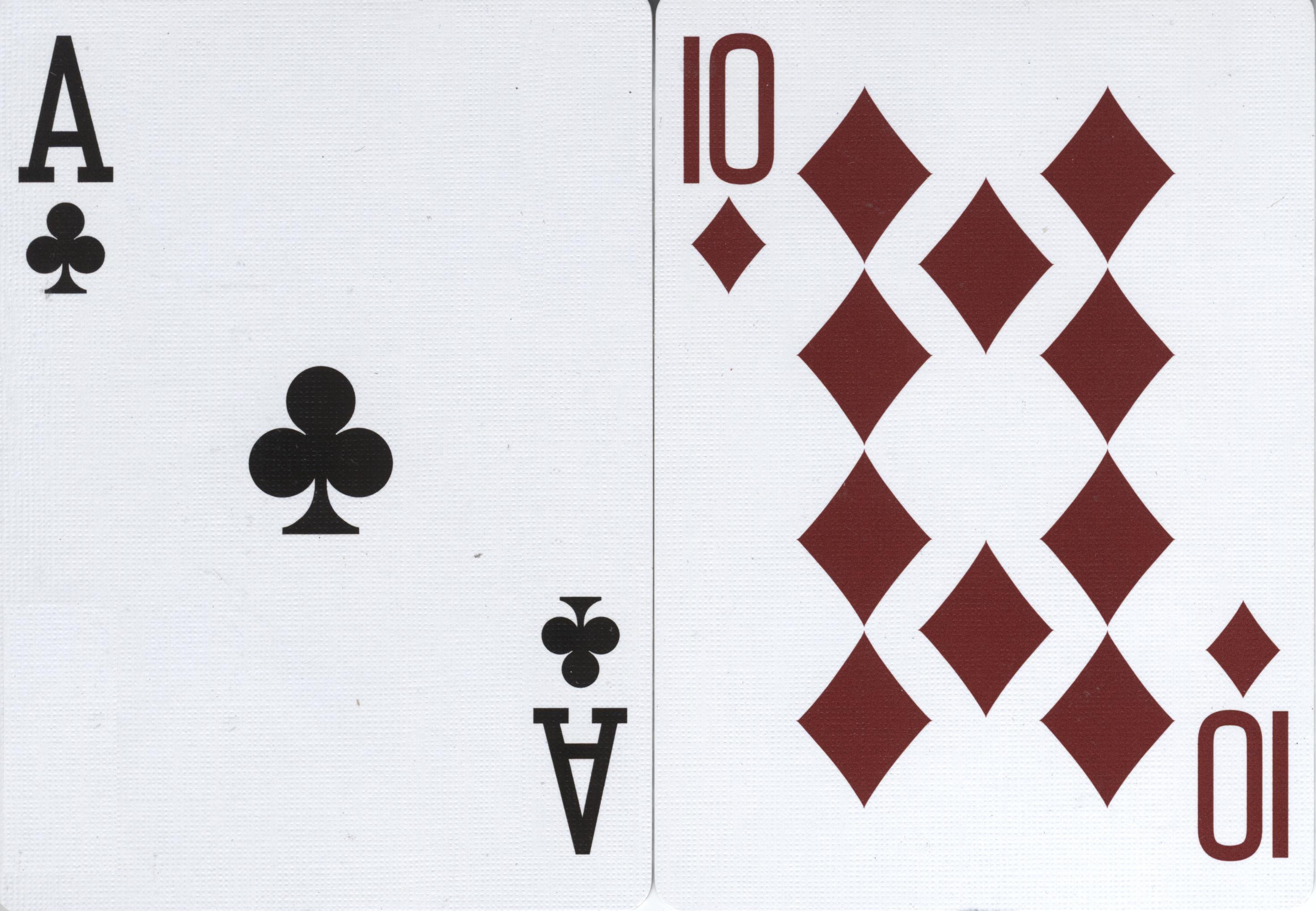
Blackjack (formerly Black Jack and Vingt-Un) is a casino banking game. The most widely played casino banking game in the world, it uses decks of 52 cards and descends from a global family of casino banking games known as Twenty-One. This family of card games also includes the British game of Pontoon, the European game, Vingt-et-Un and the Russian game Ochko. Blackjack players do not compete against each other. The game is a comparing card game where each player competes against the dealer. History Blackjack's immediate precursor was the English version of ''twenty-one'' called ''Vingt-Un'', a game of unknown (but likely Spanish) provenance. The first written reference is found in a book by the Spanish author Miguel de Cervantes. Cervantes was a gambler, and the protagonists of his "Rinconete y Cortadillo", from ''Novelas Ejemplares'', are card cheats in Seville. They are proficient at cheating at ''veintiuna'' (Spanish for "twenty-one") and state that the object of the game i ... [...More Info...] [...Related Items...] OR: [Wikipedia] [Google] [Baidu] |
Land Run Of 1895
The Land Run of 1895 was the smallest and last land run in the U.S. state of Oklahoma. It came about with an agreement between the Kickapoo Indians and the federal government that gave individual Kickapoos .Land Run a Ponca City, Oklahoma (accessed April 8, 2010) The federal government purchased the remaining and opened them up to settlers. The land run took place on May 23, 1895.Wilson, Linda D , Encyclopedia of Oklahoma History and Culture (accessed April 12, 2010) It was delayed since 1890, because of debate among tribal members over whether to accept allotment off ... [...More Info...] [...Related Items...] OR: [Wikipedia] [Google] [Baidu] |
Land Run Of 1891
The Land Run of 1891 was a set of horse races to settle land acquired by the federal government through the opening of several small Indian reservations in Oklahoma Territory. The race involved approximately 20,000 homesteaders, who gathered to stake their claims on 6,097 plots, of each, of former reservation land.Oklahoma Land Run Openings 1889-1907 (accessed June 10, 2010). The settlement that took place in September 1891 included three s. On September 22, 1891, a land run was held to settle , |
Ioway
The Iowa, also known as Ioway, and the Bah-Kho-Je or Báxoje (English: grey snow; Chiwere: Báxoje ich'é) are a Native American Siouan people. Today, they are enrolled in either of two federally recognized tribes, the Iowa Tribe of Oklahoma and the Iowa Tribe of Kansas and Nebraska. The Iowa, Missouria, and Otoe tribes were all once part of the Ho-Chunk people; and they are all Chiwere language-speaking peoples. They left their ancestral homelands in Southern Wisconsin for Eastern Iowa, a state that bears their name. In 1837, the Iowa were moved from Iowa to reservations in Brown County, Kansas, and Richardson County, Nebraska. Bands of Iowa moved to Indian Territory in the late 19th century and settled south of Perkins, Oklahoma to become the Iowa Tribe of Oklahoma. Name The Ioway tribe is also known as the Báxoje tribe. Their name has been said to come from the Sioux ''ayuhwa'' ("sleepy ones."). Early European explorers often adopted the names of tribes from the et ... [...More Info...] [...Related Items...] OR: [Wikipedia] [Google] [Baidu] |
Kickapoo Tribe Of Oklahoma
The Kickapoo Tribe of Oklahoma is one of three federally recognized Kickapoo tribes in the United States. There are also Kickapoo tribes in Kansas, Texas, and Mexico. The Kickapoo are a Woodland tribe, who speak an Algonquian language.Kuhlman, Annette.Kickapoo", ''Encyclopedia of Oklahoma History and Culture'' published by the Oklahoma Historical Society. (accessed October 6, 2013) They are affiliated with the Kickapoo Traditional Tribe of Texas, the Kickapoo Tribe in Kansas, and the Mexican Kickapoo. Government The Kickapoo Tribe of Oklahoma is headquartered in McLoud, Oklahoma, and their tribal jurisdictional area is in Oklahoma, Pottawatomie, and Lincoln Counties. Of the 2,630 enrolled tribal members, 1,856 live within the state of Oklahoma. Membership to the tribe requires a minimum blood quantum of 1/4 Kickapoo descent. The tribe's Chairman is Darwin Kaskaske., [...More Info...] [...Related Items...] OR: [Wikipedia] [Google] [Baidu] |


Saunders_Quarry-1.jpg)


