|
Le Rocher-Percé Regional County Municipality
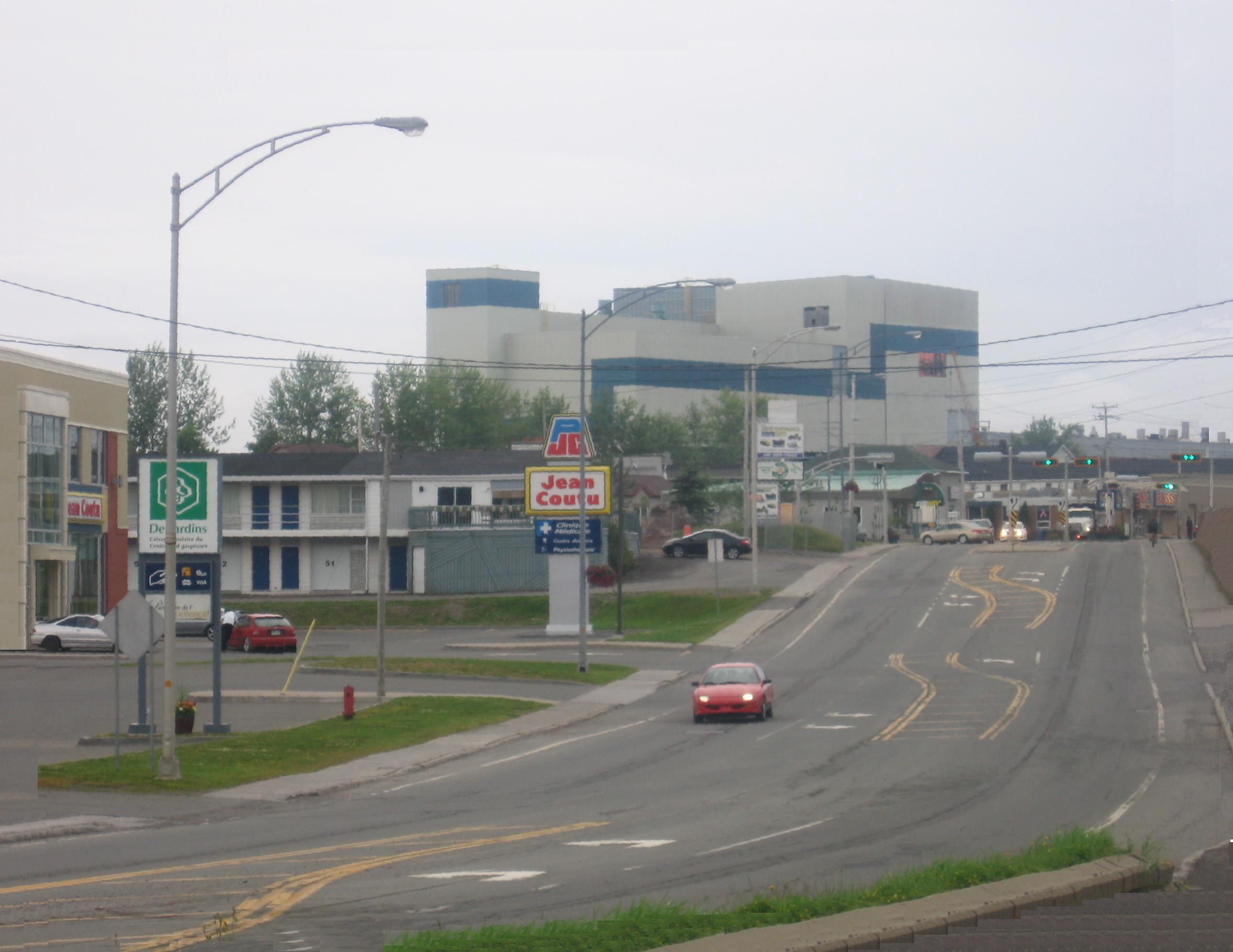
Rocher-Percé is a regional county municipality in the Gaspésie–Îles-de-la-Madeleine region of Quebec, Canada. Its seat is Chandler. Prior to July 17, 1999 it was known as Pabok Regional County Municipality. It is named after Percé Rock (the pierced rock), a massive arched sandstone rock rising from the Atlantic just off the tip of the Gaspé peninsula. The region includes the towns of Percé, Grande-Rivière, Port-Daniel–Gascons and Chandler. Major tourist attractions include the Percé Rock and Bonaventure Island. Subdivisions There are 6 subdivisions within the RCM: ;Cities & Towns (3) *Chandler * Grande-Rivière * Percé ;Municipalities (2) *Port-Daniel–Gascons * Sainte-Thérèse-de-Gaspé ;Unorganized Territory (1) * Mont-Alexandre Demographics Population Language Transportation Access Routes Highways and numbered routes that run through the municipality, including external routes that start or finish at the county border: *Autoroutes **None ... [...More Info...] [...Related Items...] OR: [Wikipedia] [Google] [Baidu] |
Regional County Municipality
The term regional county municipality or RCM (''french: municipalité régionale de comté, MRC'') is used in Quebec, Canada to refer to one of 87 county-like political entities. In some older English translations they were called county regional municipality. Regional county municipalities are a supralocal type of regional municipality, and act as the local municipality in unorganized territories within their borders. The system of regional county municipalities was introduced beginning in 1979 to replace the historic counties of Quebec. In most cases, the territory of an RCM corresponds to that of a census division; however, there are a few exceptions. Some local municipalities are outside any regional county municipality (''hors MRC''). This includes some municipalities within urban agglomerations and also some aboriginal lands, such as Indian reserves that are enclaves within the territory of an RCM but not juridically part of it. Where complete territorial cover ... [...More Info...] [...Related Items...] OR: [Wikipedia] [Google] [Baidu] |
Bonaventure Island
Bonaventure Island (officially in French: île Bonaventure) is a Canadian island in the Gulf of St. Lawrence located off the southern coast of Quebec's Gaspé Peninsula, southeast of the village of Percé. Roughly circular in shape, it has an area measuring . History Bonaventure Island (Île Bonaventure), with Percé, was among the early seasonal fishing ports of New France, and was associated with the lineage of Nicolas Denys. Settlers from southern Ireland came in the early 1790s. Peter Du Val, a native of Jersey, set up a fishery company on lot number one before 1819, population rose to an apex, but the company endured until 1845. The island became a migratory bird sanctuary in 1919 due to the 1916 Migratory Bird Convention between Canada and the United States. The Province of Quebec acquired ownership of the entire island by act of expropriation in 1971, evicting the whole population. At this time approximately 35 families were forced to move elsewhere, all reside ... [...More Info...] [...Related Items...] OR: [Wikipedia] [Google] [Baidu] |
Bonaventure Regional County Municipality
Bonaventure is a regional county municipality in the Gaspésie–Îles-de-la-Madeleine region of eastern Quebec, Canada, on the Gaspé Peninsula. Its seat is New Carlisle. Subdivisions There are 14 subdivisions within the RCM: ;Cities & Towns (3) *Bonaventure * New Richmond * Paspébiac ;Municipalities (7) * Caplan *Cascapédia–Saint-Jules * Hope Town * New Carlisle * Saint-Alphonse * Saint-Elzéar * Shigawake ;Parishes (1) * Saint-Siméon ;Townships (2) *Hope * Saint-Godefroi ;Unorganized Territory (1) * Rivière-Bonaventure Demographics Population Language Transportation Access Routes Highways and numbered routes that run through the municipality, including external routes that start or finish at the county border: *Autoroutes **None *Principal Highways ** *Secondary Highways ** *External Routes **None Attractions *Banc-de-Paspébiac Historical Site (Paspébiac) *Bonaventure Airport (Bonaventure) *Canomore Hydro (Saint-Elzéar) *Gaspésie Biopark/Acad ... [...More Info...] [...Related Items...] OR: [Wikipedia] [Google] [Baidu] |
Gloucester County, New Brunswick
Gloucester County (2016 population 78,444) is located in the northeastern corner of New Brunswick, Canada. Fishing, mining and forestry are the major industries in the county. The eastern section of the county is known for its Acadian culture. Census subdivisions Communities There are nineteen municipalities within the county (listed by 2016 population): First Nations There is one First Nations reservation in Gloucester County (listed with 2016 population): Parishes The county is subdivided into ten parishes (listed by 2016 population): Demographics As a census division in the 2021 Census of Population conducted by Statistics Canada, Gloucester County had a population of living in of its total private dwellings, a change of from its 2016 population of . With a land area of , it had a population density of in 2021. Language Access Routes Highways and numbered routes that run through the county, including external routes that start or finish at the county limit ... [...More Info...] [...Related Items...] OR: [Wikipedia] [Google] [Baidu] |
Chaleur Bay
frame, Satellite image of Chaleur Bay (NASA). Chaleur Bay is the large bay in the centre of the image; the Gulf_of_St._Lawrence.html" ;"title="Gaspé Peninsula is to the north and the Gulf of St. Lawrence">Gaspé Peninsula is to the north and the Gulf of St. Lawrence is seen to the east. Chaleur Bay, also Chaleurs Bay, baie of Chaleur (in ), is an arm of the Gulf of Saint Lawrence located between Quebec and New Brunswick, Canada. The name of the bay is attributed to explorer Jacques Cartier (Baie des Chaleurs). It translates into English as "bay of warmth" or "bay of torrid weather". Chaleur Bay is the 31st member of the Most Beautiful Bays of the World Club. Chaleur Bay is host to an unusual visual phenomenon, the Fireship of Chaleur Bay, an apparition of sorts resembling a ship on fire which has reportedly appeared at several locations in the bay. It is possibly linked to similar sightings several hundred kilometres to the south where the Fireship of Northumberland Strai ... [...More Info...] [...Related Items...] OR: [Wikipedia] [Google] [Baidu] |
Magdalen Islands
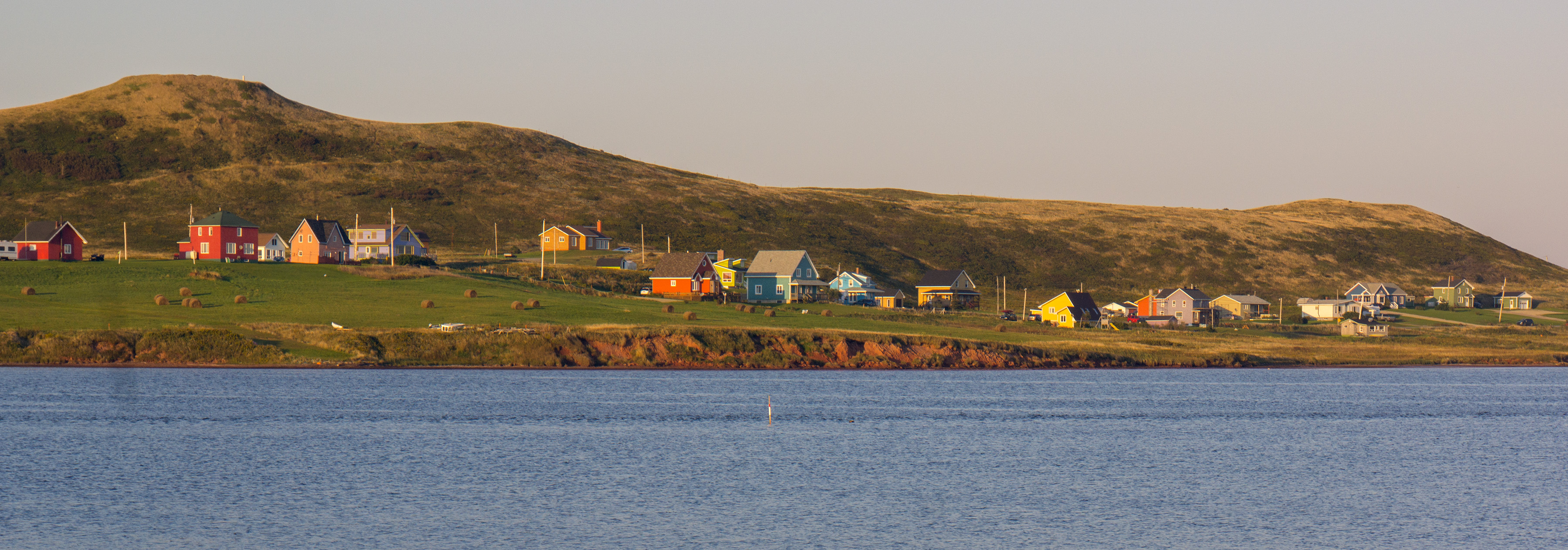
The Magdalen Islands (french: Îles de la Madeleine ) are a small archipelago in the Gulf of Saint Lawrence with a land area of . While part of the Province of Quebec, the islands are in fact closer to the Maritime provinces and Newfoundland than to the Gaspé Peninsula on the Quebec mainland. The islands are considered a part of the Mi'kma'ki, of the Mi'kmaw Nation, who call the islands Menagoesenog. Administratively, the islands are part of the Gaspésie–Îles-de-la-Madeleine region in the Canadian province of Quebec. The islands form the territory equivalent to a regional county municipality (TE) and the census division (CD) of Les Îles-de-la-Madeleine. Their geographical code is 01. The islands are also coextensive with the urban agglomeration of Les Îles-de-la-Madeleine, which is divided into two municipalities: Les Îles-de-la-Madeleine ( 2011 census pop. 12,291), the central municipality, and Grosse-Île (pop. 490). Their mayors are Gaétan Richard and Rose ... [...More Info...] [...Related Items...] OR: [Wikipedia] [Google] [Baidu] |
Gulf Of Saint Lawrence
, image = Baie de la Tour.jpg , alt = , caption = Gulf of St. Lawrence from Anticosti National Park, Quebec , image_bathymetry = Golfe Saint-Laurent Depths fr.svg , alt_bathymetry = Bathymetry of the Gulf of St. Lawrence , caption_bathymetry = Bathymetry of the Gulf of St. Lawrence , location = , group = , coordinates = , type = Gulf , etymology = , part_of = , inflow = , rivers = , outflow = , oceans = , catchment = , basin_countries = Canada Saint Pierre and Miquelon (France) , agency = , designation = , date-built = , engineer = , date-flooded = , length = , width = , area = , depth = , max-depth = , volume = , residence_time = , salinit ... [...More Info...] [...Related Items...] OR: [Wikipedia] [Google] [Baidu] |
La Côte-de-Gaspé Regional County Municipality
La Côte-de-Gaspé is a regional county municipality on the Gaspé peninsula in eastern Quebec, Canada, part of the Gaspésie–Îles-de-la-Madeleine region. The seat is Gaspé. The regional county has a land area of and its population was 17,117 inhabitants as of the 2016 Census. Its largest community is the city of Gaspé. Subdivisions There are 7 subdivisions within the RCM: ;Cities & Towns (2) * Gaspé * Murdochville ;Municipalities (2) * Grande-Vallée * Petite-Vallée ;Townships (1) * Cloridorme ;Unorganized Territory (2) * Collines-du-Basque * Rivière-Saint-Jean Demographics Population Language Transportation Access Routes Highways and numbered routes that run through the municipality, including external routes that start or finish at the county border: *Autoroutes **None *Principal Highways ** ** ** *Secondary Highways **None *External Routes **None See also * List of regional county municipalities and equivalent territories in Quebec This ... [...More Info...] [...Related Items...] OR: [Wikipedia] [Google] [Baidu] |
List Of Regional County Municipalities And Equivalent Territories In Quebec
This is a list of the regional county municipalities (RCM or MRC) and equivalent territories (TE) in the province of Quebec, Canada. They are given along with their geographical codes as specified by the Ministry of Municipal Affairs, Regions and Land Occupancy, and the administrative regions to which they belong. RCMs are county-like units of government at the supralocal level. However, not all municipalities belong to an RCM. In order to use RCMs for statistical purposes, some municipalities (mostly Indian reserves) are viewed as belonging to RCMs they do not belong to legally. The possibly enlarged RCMs are called ''municipalités régionales de comté géographiques'' (MRCG) as opposed to the legal ones known as ''municipalités régionales de comté juridiques'' (MRCJ). The remaining municipalities are grouped into ''territories equivalent to an RCM'' (French: ''territoires équivalents à une MRC'') or TEs, which are also considered MRCGs. This way, MRCGs cover the ent ... [...More Info...] [...Related Items...] OR: [Wikipedia] [Google] [Baidu] |
Route 132 (vers Percé)
The following highways are numbered 132: Australia * Wilmot Road (Tasmania) * Bells Blvd (Victoria) Canada * New Brunswick Route 132 * Ontario Highway 132 * Prince Edward Island Route 132 * Quebec Route 132 Costa Rica * National Route 132 Finland * National Highway 132 (Finland) India * National Highway 132 (India) Ireland * R132 road (Ireland) Japan * Japan National Route 132 Mexico * Mexican Federal Highway 132 United States * Alabama State Route 132 * Arkansas Highway 132 ** Arkansas Highway 132 (1920s-1990s) (former) * California State Route 132 * Connecticut Route 132 * Florida State Road 132 (former) ** County Road 132 (Hamilton County, Florida) ** County Road 132 (Suwannee County, Florida) * Georgia State Route 132 * Hawaii Route 132 * Illinois Route 132 * Indiana State Road 132 (former) * K-132 (Kansas highway) (former) * Kentucky Route 132 * Louisiana Highway 132 * Maine State Route 132 * Maryland Route 132 * Massachusetts Route 132 * M-132 ... [...More Info...] [...Related Items...] OR: [Wikipedia] [Google] [Baidu] |


.jpg)