|
Las Conchas
The Las Conchas Fire was a large wildfire in the state of New Mexico, in the United States, in 2011. The fire started in Santa Fe National Forest and burned more than 150,000 acres, threatening Los Alamos National Laboratory and the town of Los Alamos. After five days of burning, it became the largest wildfire in New Mexico state history at the time. It was surpassed in 2012 by the much larger Whitewater-Baldy Complex Fire and in 2022 by the Calf Canyon/Hermits Peak Fire and the Black Fire making the Las Conchas Fire the fourth-largest fire in New Mexico's recorded history. Progression The fire started on June 26, 2011, at approximately 1:00 pm Mountain Daylight Time at when a gust of wind blew a severely rotted aspen tree on private property into a power line on a Jemez Electric Cooperative easement. The ignition point remained largely unburned, with the fire jumping to the canopy farther downwind. On the first day, driven by strong and unpredictable winds, the f ... [...More Info...] [...Related Items...] OR: [Wikipedia] [Google] [Baidu] |
Española, New Mexico
Española is a city primarily in Rio Arriba County, New Mexico, United States. A portion of the central and eastern section of the city is in Santa Fe County. Founded as a railroad village some distance from the old Indian town of San Juan de los Caballeros (now renamed Ohkay Owingeh), it was named Española and officially incorporated in 1925. It has been called the first capital city in the United States. At the time of the 2010 census, the city had a total population of 10,495. Española is within the . History Etymology Esp ...[...More Info...] [...Related Items...] OR: [Wikipedia] [Google] [Baidu] |
Santa Clara Pueblo
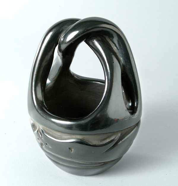
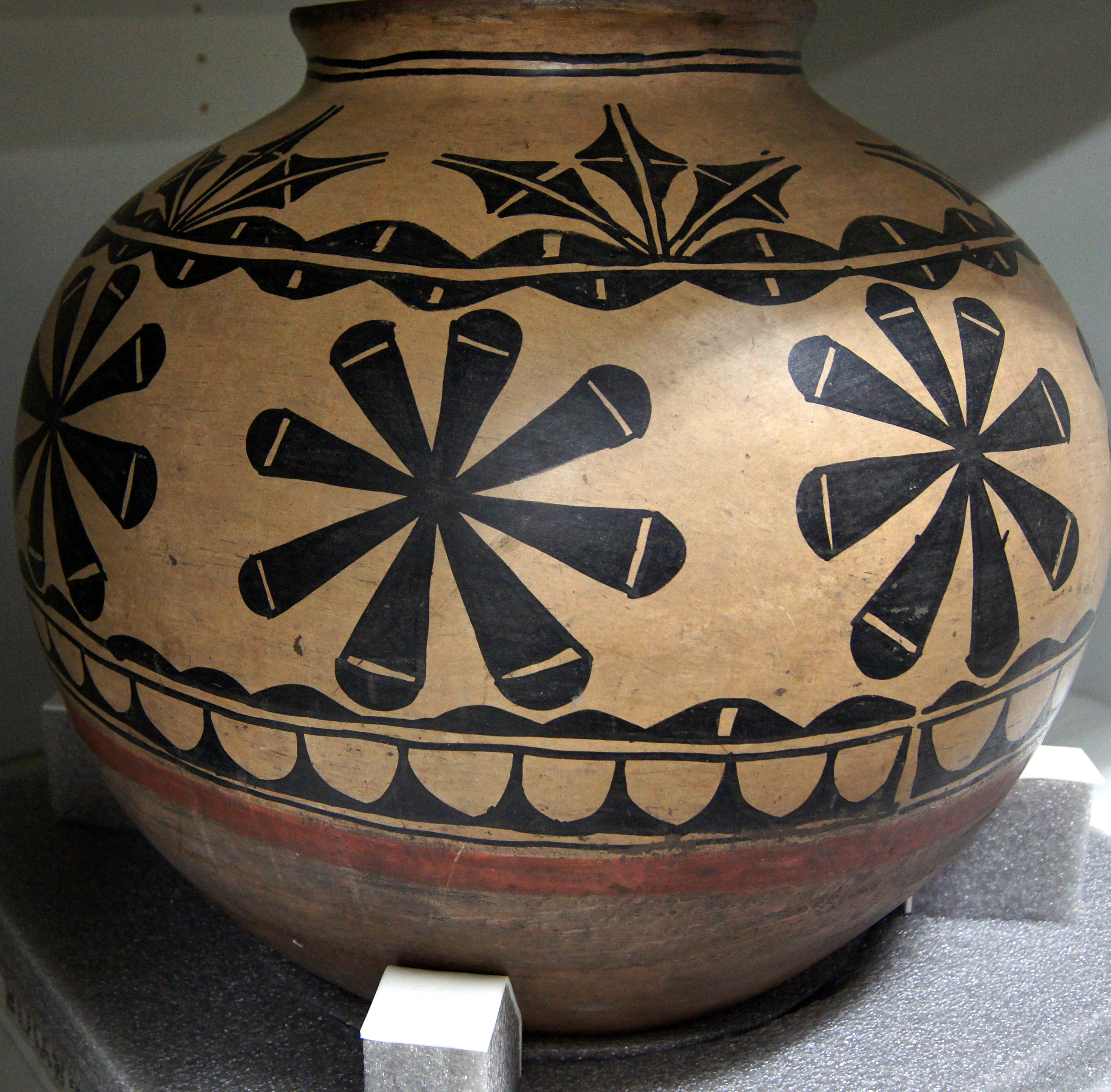
Santa Clara Pueblo (in Tewa: Khaʼpʼoe Ówîngeh ɑ̀ʔp’òː ʔówîŋgè ″Singing Water Village″, also known as ″Village of Wild Roses″ is a census-designated place (CDP) in Rio Arriba County, New Mexico, United States and a federally recognized tribe of Native American Pueblo people. The pueblo is a member of the Eight Northern Pueblos, and the people are from the Tewa ethnic group of Native Americans who speak the Rio Grande Tewa language. The pueblo is on the Rio Grande, between Ohkay Owingeh (formerly San Juan Pueblo) to the north and San Ildefonso Pueblo (P'ohwhóge Owingeh) to the south. Santa Clara Pueblo is famous for producing hand-crafted pottery, specifically blackware and redware with deep engravings. The pueblo is listed on the National Register of Historic Places. Geography Santa Clara Pueblo is located at (35.971124, -106.089111), approximately 1.5 miles south of Española on NM 30. According to the United States Census Bureau, the CDP has a ... [...More Info...] [...Related Items...] OR: [Wikipedia] [Google] [Baidu] |
Southwestern United States
The Southwestern United States, also known as the American Southwest or simply the Southwest, is a geographic and cultural region of the United States that generally includes Arizona, New Mexico, and adjacent portions of California, Colorado, Nevada, Oklahoma, Texas, and Utah. The largest cities by metropolitan area are Phoenix, Las Vegas, El Paso, Albuquerque, and Tucson. Prior to 1848, in the historical region of Santa Fe de Nuevo México as well as parts of Alta California and Coahuila y Tejas, settlement was almost non-existent outside of Nuevo México's Pueblos and Spanish or Mexican municipalities. Much of the area had been a part of New Spain and Mexico until the United States acquired the area through the Treaty of Guadalupe Hidalgo in 1848 and the smaller Gadsden Purchase in 1854. While the region's boundaries are not officially defined, there have been attempts to do so. One such definition is from the Mojave Desert in California in the west (117° west longitude) t ... [...More Info...] [...Related Items...] OR: [Wikipedia] [Google] [Baidu] |
Rio Grande
The Rio Grande ( and ), known in Mexico as the Río Bravo del Norte or simply the Río Bravo, is one of the principal rivers (along with the Colorado River) in the southwestern United States and in northern Mexico. The length of the Rio Grande is . It originates in south-central Colorado, in the United States, and flows to the Gulf of Mexico. The Rio Grande drainage basin (watershed) has an area of ; however, the endorheic basins that are adjacent to and within the greater drainage basin of the Rio Grande increase the total drainage-basin area to . The Rio Grande with Rio Grande Valley (landform), its fertile valley, along with its tributaries, is a vital watersource for seven US and Mexican states, and flows primarily through arid and semi-arid lands. After traversing the length of New Mexico, the Rio Grande becomes the Mexico–United States border, between the U.S. state of Texas and the northern Mexican states of Chihuahua (state), Chihuahua and Coahuila, Nuevo León a ... [...More Info...] [...Related Items...] OR: [Wikipedia] [Google] [Baidu] |
Cochiti Pueblo
Cochiti (; Eastern Keresan: Kotyit ʰocʰi̥tʰ– "Forgotten", Navajo: ''Tǫ́ʼgaaʼ'') is a census-designated place (CDP) in Sandoval County, New Mexico, United States. A historic pueblo of the Cochiti people, it is part of the Albuquerque Metropolitan Statistical Area. The population was 528 at the 2010 census. Located 22 miles (35 km) southwest of Santa Fe, the community is listed as a historic district on the National Register of Historic Places. Geography According to the United States Census Bureau, the CDP has a total area of , all land. Demographics At the 2010 census, there were 528 people, 157 households and 127 ''families'' residing in the CDP. The population density was 440 per square mile (169.9/km). There were 178 housing units at an average density of 149.9 per square mile (59.1/km). The racial makeup of the CDP was 95.1% Native American, 1.5% White, 1.3% from other races, and 2.1% from two or more races. Hispanic or Latino of any race were 6.6% of the p ... [...More Info...] [...Related Items...] OR: [Wikipedia] [Google] [Baidu] |
El Rito De Los Frijoles
EL, El or el may refer to: Religion * El (deity), a Semitic word for "God" People * EL (rapper) (born 1983), stage name of Elorm Adablah, a Ghanaian rapper and sound engineer * El DeBarge, music artist * El Franco Lee (1949–2016), American politician * Ephrat Livni (born 1972), American street artist Arts, entertainment, and media Fictional entities * El, a character from the manga series ''Shugo Chara!'' by Peach-Pit * El, short for Eleven, a fictional character in the TV series ''Stranger Things'' * El, family name of Kal-El (Superman) and his father Jor-El in ''Superman'' *E.L. Faldt, character in the road comedy film ''Road Trip'' Literature * ''Él'', 1926 autobiographical novel by Mercedes Pinto * ''Él'' (visual novel), a 2000 Japanese adult visual novel Music * Él Records, an independent record label from the UK founded by Mike Alway * ''Él'' (Lucero album), a 1982 album by Lucero * "Él", Spanish song by Rubén Blades from ''Caminando'' (album) * "Él" (Luc ... [...More Info...] [...Related Items...] OR: [Wikipedia] [Google] [Baidu] |
Bandelier National Monument
Bandelier National Monument is a United States National Monument near Los Alamos in Sandoval and Los Alamos counties, New Mexico. The monument preserves the homes and territory of the Ancestral Puebloans of a later era in the Southwest. Most of the pueblo structures date to two eras, dating between 1150 and 1600 AD. The monument is of the Pajarito Plateau, on the slopes of the Jemez volcanic field in the Jemez Mountains. Over 70% of the monument is wilderness, with over one mile of elevation change, from about along the Rio Grande to over at the peak of Cerro Grande on the rim of the Valles Caldera, providing for a wide range of life zones and wildlife habitats. of road and more than of hiking trails are built. The monument protects Ancestral Pueblo archeological sites, a diverse and scenic landscape, and the country's largest National Park Service Civilian Conservation Corps National Landmark District. Two-thirds of the park, , is designated as the Bandelier Wilderness ... [...More Info...] [...Related Items...] OR: [Wikipedia] [Google] [Baidu] |
Jersey Barrier
A Jersey barrier, Jersey wall, or Jersey bump is a modular concrete or plastic barrier employed to separate lanes of traffic. It is designed to minimize vehicle damage in cases of incidental contact while still preventing vehicle crossovers resulting in a likely head-on collision. Jersey barriers are also used to reroute traffic and protect pedestrians and workers during highway construction. They are named after the U.S. state of New Jersey which first started using the barriers as separators between lanes of a highway in the 1950s. The barriers are also known as a K-rail, a term stipulated in the California Department of Transportation specification for temporary concrete traffic barriers which first started using concrete median barriers in the mid-1940s. Over time, different variants were created. Taller variants, such as the Ontario Tall Wall, proved more effective at stopping vehicles and had the added advantage of blocking most oncoming headlights. More modular variant ... [...More Info...] [...Related Items...] OR: [Wikipedia] [Google] [Baidu] |
Santa Clara Creek
Santa Claus, also known as Father Christmas, Saint Nicholas, Saint Nick, Kris Kringle, or simply Santa, is a legendary figure originating in Western Christian culture who is said to bring children gifts during the late evening and overnight hours on Christmas Eve of toys and candy or coal or nothing, depending on whether they are "naughty or nice". In the legend, he accomplishes this with the aid of Christmas elves, who make the toys in his workshop, often said to be at the North Pole, and flying reindeer who pull his sleigh through the air. The modern figure of Santa is based on folklore traditions surrounding Saint Nicholas, the English figure of Father Christmas and the Dutch figure of ''Sinterklaas''. Santa is generally depicted as a portly, jolly, white-bearded man, often with spectacles, wearing a red coat with white fur collar and cuffs, white-fur-cuffed red trousers, red hat with white fur, and black leather belt and boots, carrying a bag full of gifts for childr ... [...More Info...] [...Related Items...] OR: [Wikipedia] [Google] [Baidu] |
Hydrophobic
In chemistry, hydrophobicity is the physical property of a molecule that is seemingly repelled from a mass of water (known as a hydrophobe). In contrast, hydrophiles are attracted to water. Hydrophobic molecules tend to be nonpolar and, thus, prefer other neutral molecules and nonpolar solvents. Because water molecules are polar, hydrophobes do not dissolve well among them. Hydrophobic molecules in water often cluster together, forming micelles. Water on hydrophobic surfaces will exhibit a high contact angle. Examples of hydrophobic molecules include the alkanes, oils, fats, and greasy substances in general. Hydrophobic materials are used for oil removal from water, the management of oil spills, and chemical separation processes to remove non-polar substances from polar compounds. Hydrophobic is often used interchangeably with lipophilic, "fat-loving". However, the two terms are not synonymous. While hydrophobic substances are usually lipophilic, there are exceptions, suc ... [...More Info...] [...Related Items...] OR: [Wikipedia] [Google] [Baidu] |
North American Monsoon
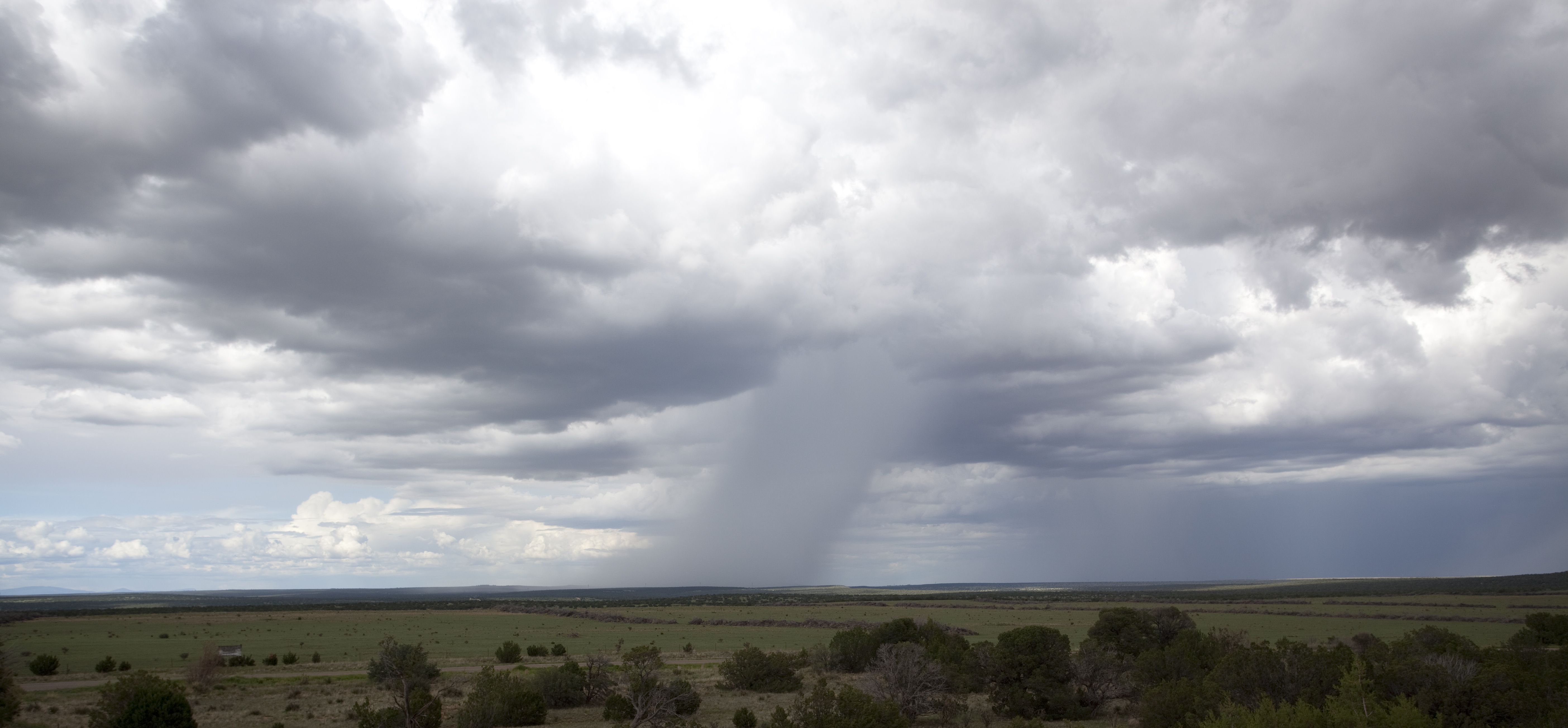
The North American monsoon, variously known as the Southwest monsoon, the Mexican monsoon, the New Mexican monsoon, or the Arizona monsoon is a pattern of pronounced increase in thunderstorms and rainfall over large areas of the southwestern United States and northwestern Mexico, typically occurring between June and mid-September. During the monsoon, thunderstorms are fueled by daytime heating and build up during the late afternoon and early evening. Typically, these storms dissipate by late night, and the next day starts out fair, with the cycle repeating daily. The monsoon typically loses its energy by mid-September when much drier conditions are reestablished over the region. Geographically, the North American monsoon precipitation region is centered over the Sierra Madre Occidental in the Mexican states of Sinaloa, Durango, Sonora and Chihuahua. Mechanism The North American monsoon is a complex weather process that brings moisture from the Gulf of California (and to le ... [...More Info...] [...Related Items...] OR: [Wikipedia] [Google] [Baidu] |


