|
Lapwai
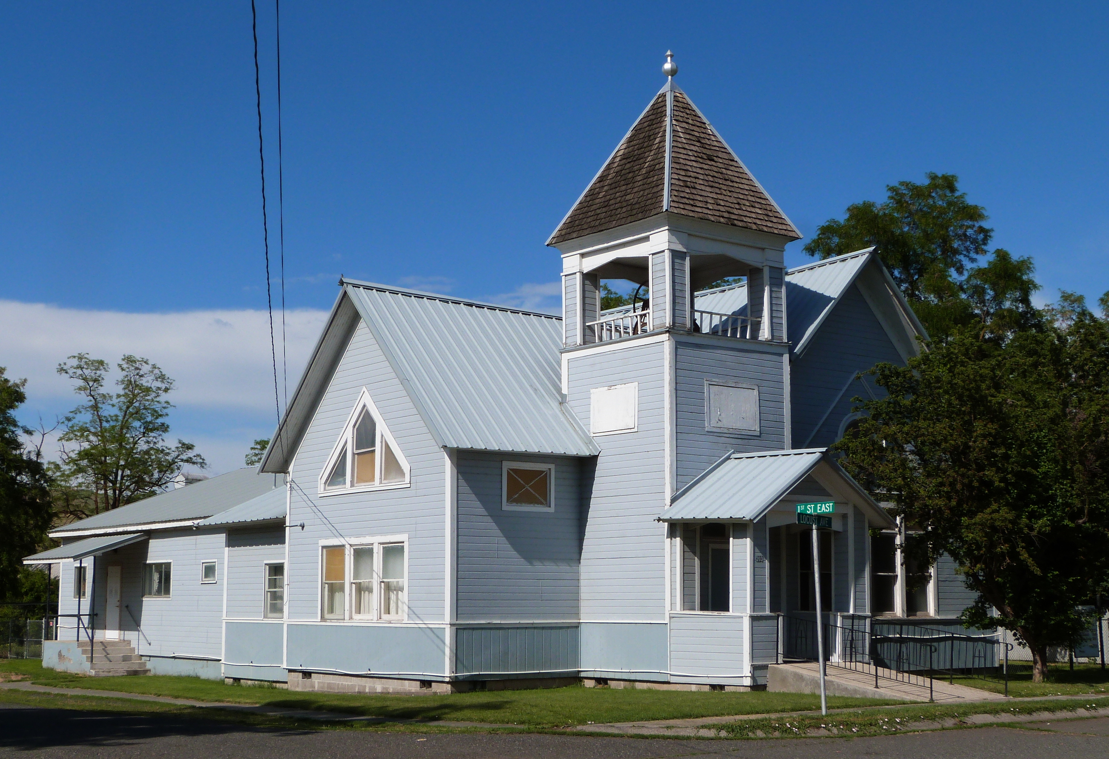
Lapwai is a city in the Northwestern United States, northwest United States, in Nez Perce County, Idaho, Nez Perce County, Idaho. Its population was 1,137 at the 2010 United States Census, 2010 census, and it is the seat of government of the Nez Perce people#Nez Perce Indian Reservation, Nez Perce Indian Reservation. Lapwai actually means "The land of the butterflies" History The area that is today Lapwai was the home of Hin-ma-tute-ke-kaikt, also known as Big Thunder and later as James. It was here that Henry H. Spalding, Henry Spalding established a Protestant mission among the Nez Perce people, Nez Perce in 1836. This was also the general region that William Craig (frontiersman and trapper), Bill Craig settled, since his wife was James' daughter. The city's predecessor, Fort Lapwai, operated on the site from 1863 to 1884. The village of Lapwai was incorporated in 1911, with a model rural school. The word "Lapwai" means place of the Butterfly, butterflies, as the area had tho ... [...More Info...] [...Related Items...] OR: [Wikipedia] [Google] [Baidu] |
Fort Lapwai
Fort Lapwai (1862–1884), was a Federal government of the United States, federal Fortification#North America, fort in present-day Lapwai, Idaho, Lapwai in North Central Idaho, north central Idaho, United States. On the Nez Perce people#Nez Perce Indian Reservation, Nez Perce Indian Reservation in Nez Perce County, Idaho, Nez Perce County, it was originally called Camp Lapwai until 1863. East of Lewiston, Idaho, Lewiston, it was located on the west bank of Lapwai Creek, three miles (5 km) above where it joins the Clearwater River (Idaho), Clearwater River at the state's first settlement, Lapwai Mission Station (now Spalding, Idaho, Spalding), built in 1836 by Henry H. Spalding, Henry Spalding. It is part of the multi-site Nez Perce National Historical Park. The word "Lapwai" means place of the Butterfly, butterflies, as the area had thousands in early summer in earlier years. History Camp Lapwai was established by Major Jacob S. Rinearson, 1st Oregon Cavalry by order of B ... [...More Info...] [...Related Items...] OR: [Wikipedia] [Google] [Baidu] |
Lapwai High School
Lapwai High School is a four-year public secondary school in Lapwai, Idaho, the only traditional high school in Lapwai School District #341. Located in Nez Perce County on the Nez Perce Indian Reservation in the north central part of the state, the school colors are Columbia and white and the mascot is a wildcat. Athletics Lapwai competes in athletics in IHSAA Class 1AD1 in the White Pine League. It was formerly a member of the Central Idaho League The school competes in football, basketball, and track and field, among others. Lapwai holds the state's longest basketball winning streak at 81 games. Lapwai won three consecutive A-3 (now 2A) state championships (1987–89) under head coach Bruce Crossfield. The Lapwai Boys Basketball Program is second for most state championships with 12 and only behind Borah High School with 13 state championships. With the most recent addition to the trophy case, Lapwai now has had seven different coaches lead them to the top, Harley Willi ... [...More Info...] [...Related Items...] OR: [Wikipedia] [Google] [Baidu] |
Nimiipuu Health Center Lapwai Idaho
The Nez Percé (; autonym in Nez Perce language: , meaning "we, the people") are an Indigenous people of the Plateau who are presumed to have lived on the Columbia River Plateau in the Pacific Northwest region for at least 11,500 years.Ames, Kenneth and Alan Marshall. 1980. "Villages, Demography and Subsistence Intensification on the Southern Columbia Plateau". ''North American Archeologist'', 2(1): 25–52." Members of the Sahaptin language group, the Nimíipuu were the dominant people of the Columbia Plateau for much of that time, especially after acquiring the horses that led them to breed the appaloosa horse in the 18th century. Prior to first contact with European colonial people the Nimiipuu were economically and culturally influential in trade and war, interacting with other indigenous nations in a vast network from the western shores of Oregon and Washington, the high plains of Montana, and the northern Great Basin in southern Idaho and northern Nevada. French explore ... [...More Info...] [...Related Items...] OR: [Wikipedia] [Google] [Baidu] |
Nez Perce People
The Nez Percé (; autonym in Nez Perce language: , meaning "we, the people") are an Indigenous people of the Plateau who are presumed to have lived on the Columbia River Plateau in the Pacific Northwest region for at least 11,500 years.Ames, Kenneth and Alan Marshall. 1980. "Villages, Demography and Subsistence Intensification on the Southern Columbia Plateau". ''North American Archeologist'', 2(1): 25–52." Members of the Sahaptin language group, the Nimíipuu were the dominant people of the Columbia Plateau for much of that time, especially after acquiring the horses that led them to breed the appaloosa horse in the 18th century. Prior to first contact with European colonial people the Nimiipuu were economically and culturally influential in trade and war, interacting with other indigenous nations in a vast network from the western shores of Oregon and Washington, the high plains of Montana, and the northern Great Basin in southern Idaho and northern Nevada. French explor ... [...More Info...] [...Related Items...] OR: [Wikipedia] [Google] [Baidu] |
William Craig (frontiersman And Trapper)
William Craig (1807, Greenbrier County, West Virginia – 1869, Idaho) was an American frontiersman and trapper. He left his Virginia home as a young man and headed west, after allegedly killing a man in self-defense. He trapped with the Sublettes (William and Milton) and Jedediah Smith in the Blackfoot country until he joined Joseph R. Walker's California Expedition of 1833–34. In 1836, William Craig, Pruett Sinclair and Philip Thompson established a trading post known as Fort Davy Crockett in Brown's Hole, now in the state of Colorado. Leaving the declining fur trade, in 1840 Craig and former trapper friends Joseph Meek and Robert Newell acted as guides to a missionary party to Fort Hall, Idaho and on to the Whitman Mission near Walla Walla, Washington. While Newell and Meek and their native wives and children sought a new life in the Willamette Valley of what is now Oregon, Craig joined his Nimiipuu family along the Clearwater River and Lapwai Creek of what is now Idaho. ... [...More Info...] [...Related Items...] OR: [Wikipedia] [Google] [Baidu] |
Lewiston, Idaho
Lewiston is a city and the county seat of Nez Perce County, Idaho, United States, in the state's north central region. It is the second-largest city in the northern Idaho region, behind Coeur d'Alene, and ninth-largest in the state. Lewiston is the principal city of the Lewiston, ID-WA Metropolitan Statistical Area, which includes all of Nez Perce County and Asotin County, Washington. As of the 2020 census, the population of Lewiston was 34,203 up from 31,894 in 2010. Lewiston is located at the confluence of the Snake River and Clearwater River, upstream and southeast of the Lower Granite Dam. dams (and their locks) on the Snake and Columbia River, Lewiston is reachable by some ocean-going vessels. of Lewiston (Idaho's only seaport) has the distinction of being the farthest inland port east of the West Coast. The Lewiston-Nez Perce County Airport serves the city by air. Lewiston was founded in 1861 in the wake of a gold rush which began the previous year near Pierce, nort ... [...More Info...] [...Related Items...] OR: [Wikipedia] [Google] [Baidu] |
Camas Prairie Railroad
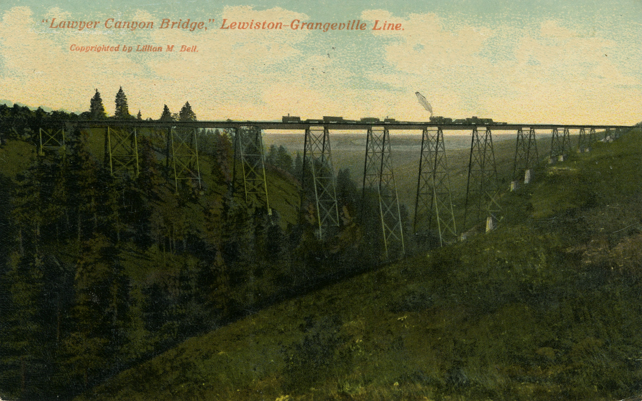
Camas Prairie Railroad Company was a short line railroad in northern Idaho jointly owned and operated by Northern Pacific Railway and Union Pacific. The Camas Prairie Railroad was known as the "railroad on stilts" due to the many wooden trestles along its route. Parts of the former railroad are now operated by the Great Northwest Railroad and the BG&CM Railroad. History The Nez Perce Indian Reservation was opened to white settlement in By the turn of the 20th century, Edward H. Harriman and James J. Hill were engaged in a "railroad war" for control of rail routes through this area to reach the Despite their competing interests, the railroad barons co-operated to build the Camas Prairie Railroad. The CSP was built to tap the rolling, fertile hills of the Camas Prairie and the timber of the forested hills and canyonlands of the Service to the south terminus of the second subdivision line at Grangeville commenced in and continued for 92 years. The Camas Prairie Railroad ... [...More Info...] [...Related Items...] OR: [Wikipedia] [Google] [Baidu] |
BG&CM Railroad
The BG&CM Railroad or Bountiful Grain and Craig Mountain Railroad is a Class III shortline railroad located in North Central Idaho. Summary The BG&CM operated a line between Spalding and Cottonwood, along the former Second Subdivision of the Camas Prairie Railroad. Spalding is located about east of Lewiston, which is at Idaho's western border with Washington. BGCM connects with Great Northwest Railroad at Spalding. BGCM also operates the portion of the former Camas Prairie Railroad which runs from Spalding to Orofino, then to Kooskia along the river grade of the Clearwater River. BGCM's route consists of the former Camas Prairie Railroad's Second Subdivision line, which was in length from Spalding to Grangeville. As of 2005, only the between Spalding and Cottonwood were operated; the last of track between Cottonwood and Grangeville were removed in late 2002 and 2003. When BG&CM stepped in to operate the second subdivision line in December 2002, it was originally pla ... [...More Info...] [...Related Items...] OR: [Wikipedia] [Google] [Baidu] |
Nez Perce County, Idaho
Nez Perce County (pron. ''Nezz Purse'') is a county located in the U.S. state of Idaho. As of the 2020 census, the population was 42,090. The county seat is Lewiston. The county is named after the Native American Nez Percé tribe. Nez Perce County is part of the Lewiston, Idaho– WA Metropolitan Statistical Area. History Nez Perce County was originally organized in 1861, when the area was part of Washington Territory. It was reorganized in 1864 by the Idaho Territorial Legislature and was later subdivided into new counties. Rapid migration to the Palouse in the 1880s led to the formation of Latah County in 1888. Isolated from its county seat of Wallace in the Silver Valley, the southern portion of Shoshone County was annexed by Nez Perce County in 1904, then became Clearwater County in 1911. Lewis County was also formed from Nez Perce County in 1911. Geography According to the U.S. Census Bureau, the county has a total area of , of which is land and (1.0%) is water. ... [...More Info...] [...Related Items...] OR: [Wikipedia] [Google] [Baidu] |
US 95
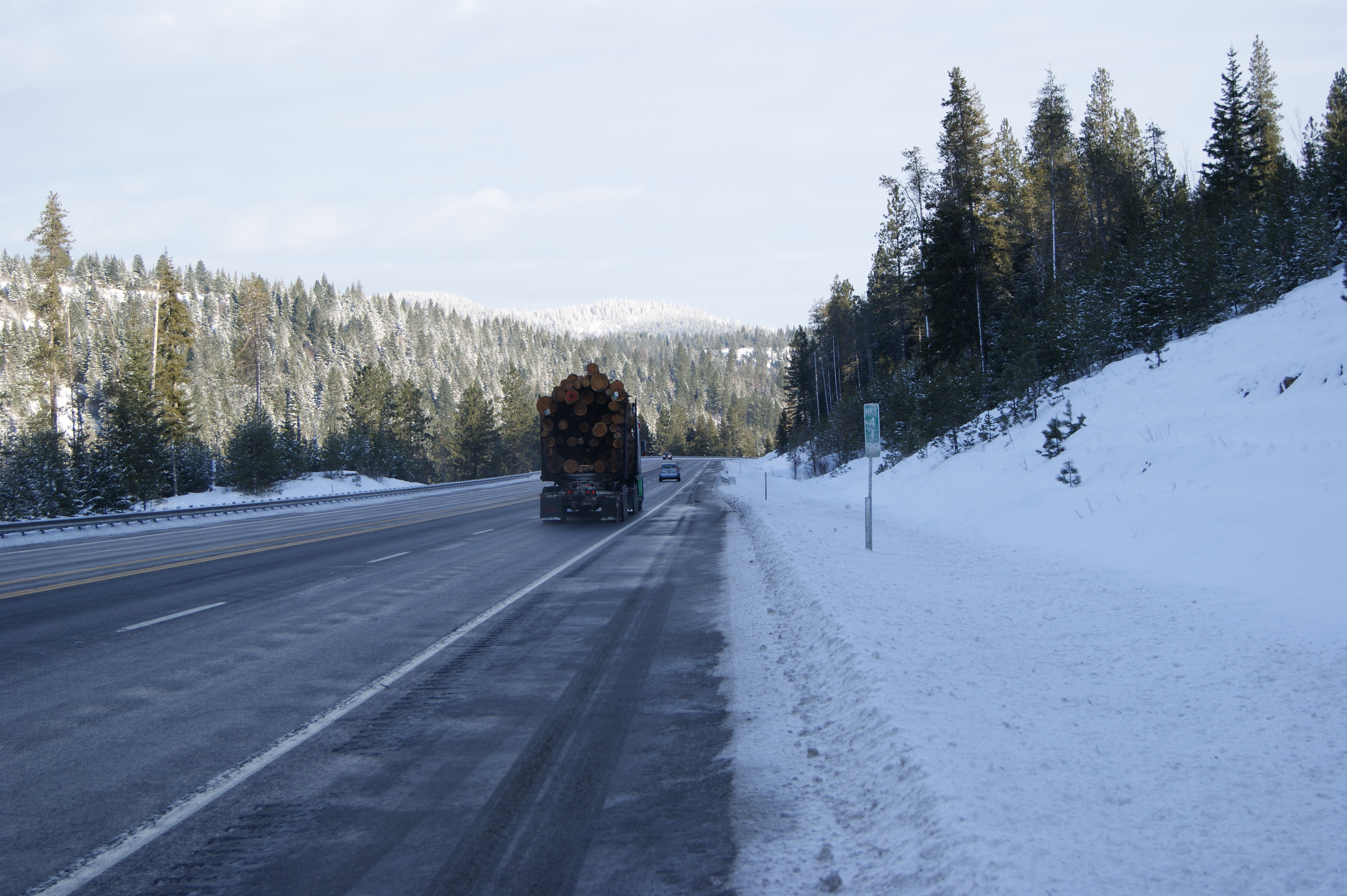
US Route 95 (US 95) is a major north–south US Highway in the western United States. It travels through the states of Arizona, California, Nevada, Oregon, and Idaho, staying inland from the Pacific Coast. US 95 begins in San Luis, Arizona, at the Mexican border, where Calle 1—a short spur—leads to Highway 2 in San Luis Río Colorado, Sonora. Its northern terminus is at the Canadian border in Eastport, Idaho, where it continues north as British Columbia Highway 95.Endpoints of US highwaysU.S. Highway 95an/ref> Unlike many other US Highways, it has not seen deletion or replacement on most of its length by an encroaching Interstate Highway corridor, due to its mostly rural and mountainous course. Because of this, it still travels from border to border and is a primary north–south highway in both Nevada and Idaho. This is one of the few US Routes to cross from Mexico to Canada. Route description Arizona US 95 begins in the United State ... [...More Info...] [...Related Items...] OR: [Wikipedia] [Google] [Baidu] |
Clearwater River (Idaho)
The Clearwater River is in the northwestern United States, in north central Idaho. Its length is ,U.S. Geological Survey. National Hydrography Dataset high-resolution flowline data. , accessed May 3, 2011 westward from the Bitterroot Mountains along the Idaho-Montana border, and joins the Snake River at Lewiston. the Lewis and Clark Expedition descended the Clearwater River in dugout canoes, putting in at downstream from Orofino; they reached the Columbia Bar and the Pacific Ocean about six weeks later. By average discharge, the Clearwater River is the largest tributary of the Snake River. The River got its name for the Niimiipuutímt naming as ''Koos-Koos-Kia'' - "clear water". The drainage basin of the Clearwater River is . Its mean annual discharge is , Northwest Power and Conservation Council Course In the small town of Kooskia, the Middle Fork and South Fork of the Clearwater River join their waters to form the main stem of the Clearwater. The larger Middle Fork i ... [...More Info...] [...Related Items...] OR: [Wikipedia] [Google] [Baidu] |
2010 United States Census
The United States census of 2010 was the twenty-third United States national census. National Census Day, the reference day used for the census, was April 1, 2010. The census was taken via mail-in citizen self-reporting, with enumerators serving to spot-check randomly selected neighborhoods and communities. As part of a drive to increase the count's accuracy, 635,000 temporary enumerators were hired. The population of the United States was counted as 308,745,538, a 9.7% increase from the 2000 census. This was the first census in which all states recorded a population of over half a million people as well as the first in which all 100 largest cities recorded populations of over 200,000. Introduction As required by the United States Constitution, the U.S. census has been conducted every 10 years since 1790. The 2000 U.S. census was the previous census completed. Participation in the U.S. census is required by law of persons living in the United States in Title 13 of the United ... [...More Info...] [...Related Items...] OR: [Wikipedia] [Google] [Baidu] |


_wooding_up_1903.jpg)


