|
Kédougou
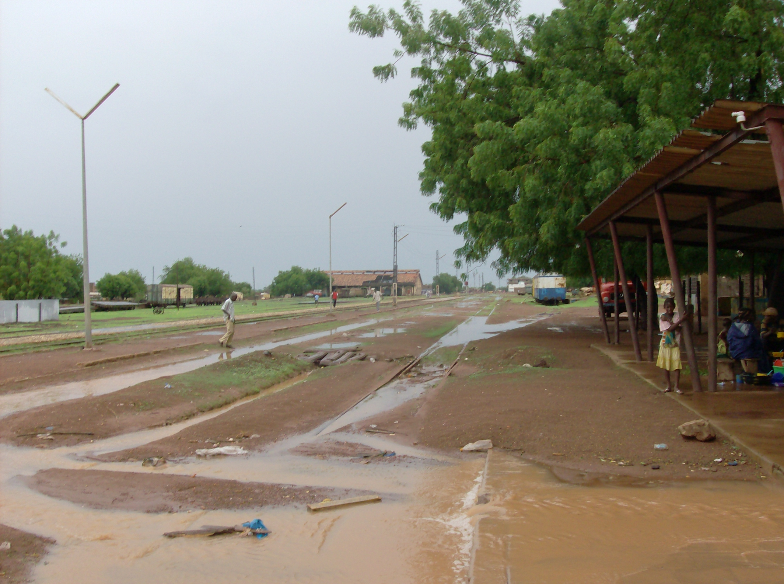
Kédougou (Wolof: Keédugu) is a town in the Kédougou Region of south-eastern Senegal near the border with Mali and Guinea. It lies at an elevation of above sea level. Founded in the early 20th century by the Malinké people, Kédougou means the "Land of Man". The town lies on the N7 road and the River Gambia amid the Pays Bassari hills and Fouta Djallon foothills. Local attractions include the Dindefelo Falls and Niokolo-Koba National Park. The main sources of income in the town are agriculture, small-scale commerce, construction, and gold mining. There is a military camp, a hospital, a community radio station and library, a Peace Corps Office and a number of small businesses. The most commonly spoken languages are Pulaar, Bassari, Bedik, Diakhanké, Malinké and French. In 2007, according to official estimates, Kédougou had a population of 18,860. The mayor of Kédougou is Amath Dansokho (as of 2005). Transport A proposed railway branching off the existing line ... [...More Info...] [...Related Items...] OR: [Wikipedia] [Google] [Baidu] |
Kédougou Region
Kédougou Region is a region of Senegal. It was created in 2008. Formerly it was a department in the Region of Tambacounda. Kedougou has a number of ecotourism Ecotourism is a form of tourism involving responsible travel (using sustainable transport) to natural areas, conserving the environment, and improving the well-being of the local people. Its purpose may be to educate the traveler, to provide funds ... attractions. Departments Kédougou Region has three departments: * Kédougou Département * Salémata Département * Saraya Département Geography Kédougou is traversed by the northwesterly line of equal latitude and longitude. References States and territories established in 2008 Regions of Senegal {{Senegal-geo-stub ... [...More Info...] [...Related Items...] OR: [Wikipedia] [Google] [Baidu] |
Kédougou Department
Kédougou Department is one of the 45 departments of Senegal, located in the Kédougou Region, formerly part of the Tambacounda Region. The chief settlement and only commune is Kédougou. The rural districts (Communautés rurales) comprise: * Arrondissement of Bandafassi: ** Ninéfécha ** ** ** * Arrondissement of Fongolimbi: ** ** Historic sites * Dindefelo Falls, natural site * Site of Iwol at Bandafassi, up the mountain, the "Place of silence" * Bassari Country The Bassari Country () and its Bassari, Fula and Bedik Cultural Landscapes (), located in the southeast of Senegal, is a well-preserved multicultural landscape which emerged from the interaction of human activities and the natural environment. It ... References Departments of Senegal {{Senegal-geo-stub ... [...More Info...] [...Related Items...] OR: [Wikipedia] [Google] [Baidu] |
Bassari Country
The Bassari Country () and its Bassari, Fula and Bedik Cultural Landscapes (), located in the southeast of Senegal, is a well-preserved multicultural landscape which emerged from the interaction of human activities and the natural environment. It aggregates three geographical areas: the Bassari– Salémata area, the Bedik– Bandafassi area and the Fula– Dindéfello area, each one with its specific morphological characteristics. In 2012, the Bassari Country with its Bassari, Fula and Bedik Cultural Landscapes was added to the UNESCO list of World Heritage Sites. See also * Bassari people * Fula people The Fula, Fulani, or Fulɓe people ( ff, Fulɓe, ; french: Peul, links=no; ha, Fulani or Hilani; pt, Fula, links=no; wo, Pël; bm, Fulaw) are one of the largest ethnic groups in the Sahel and West Africa, widely dispersed across the region ... * Bedick people References World Heritage Sites in Senegal {{Senegal-geo-stub ... [...More Info...] [...Related Items...] OR: [Wikipedia] [Google] [Baidu] |
Amath Dansokho
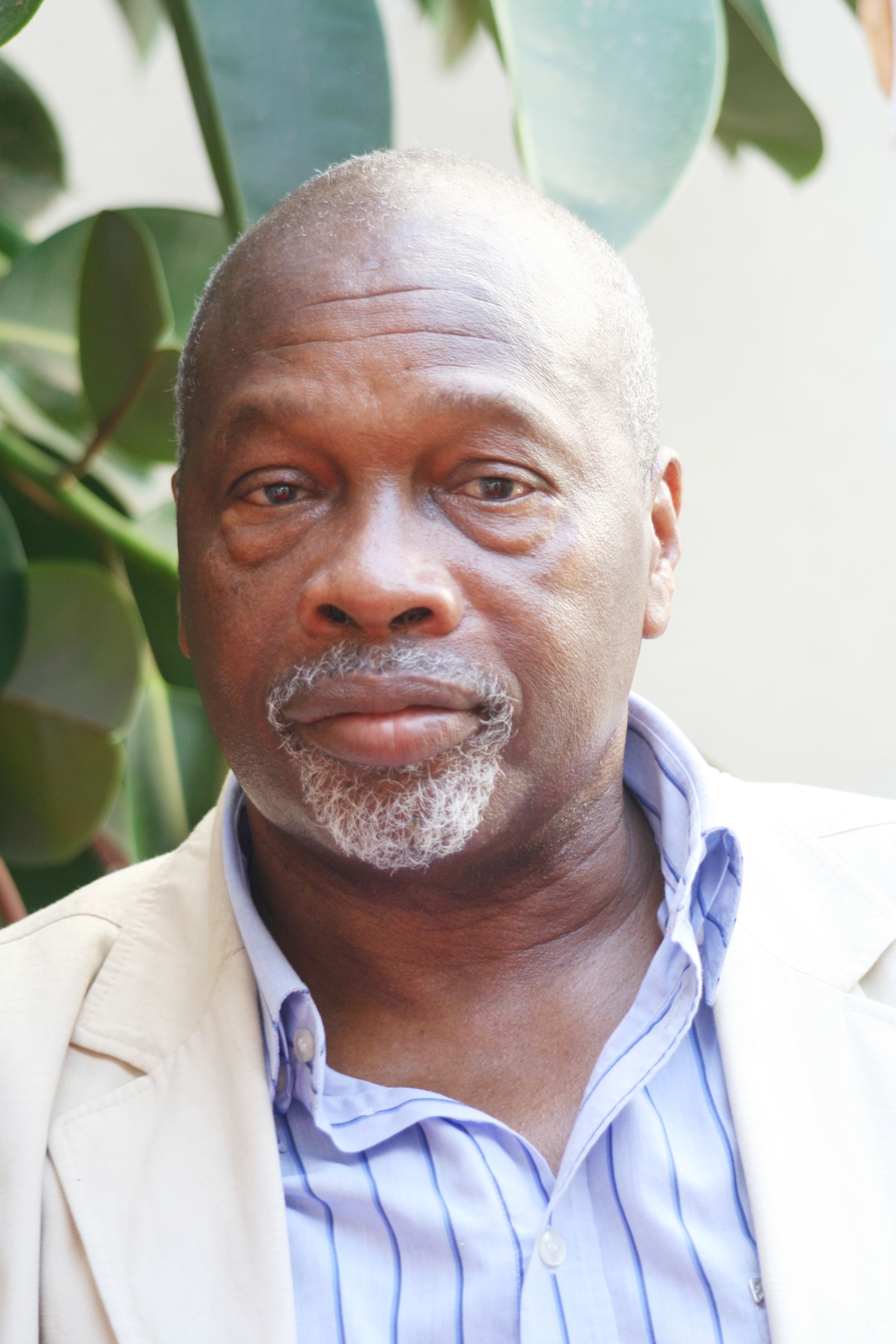
Amath Dansokho (January 13, 1937"Ce que Dansokho a réellement dit à la Dic", ''Le Messager'', 10 April 2006 . – August 23, 2019) was a Senegalese politician. He was Secretary-General of the Party of Independence and Work (PIT) for years; he also served in the government of Senegal as Minister of Urban Planning and Housing from 1991 to 1995 and again, briefly, in 2000. He was mayor of Kédougou for a time. Since 2012, he was a special adviser to the president of Senegal; he was also honorary president of the PIT. Political career Dansokho was born in Kédougou. He was a member of the African Independence Party from 1957 to 1959 and lived in exile from 1960 to 1977. In 1983 he was first elected to the National Assembly as a PIT candidate, and he became Secretary-General of the PIT in 1984,"Dansokho Amath", ''Senegal: Les Hommes de Pouvoir'', number 5Africa Intelligence 17 July 2001 . following the death of Seydou Cissokho. He was re-elected to the National Assembly as a PIT cand ... [...More Info...] [...Related Items...] OR: [Wikipedia] [Google] [Baidu] |
Regions Of Senegal
Senegal is subdivided into 14 regions (French: ''régions'', singular''région''), each of which is administered by a ''Conseil Régional'' (pl.: ''Conseils Régionaux'') elected by population weight at the arrondissement level. Senegal is further subdivided into 45 departments, 103 arrondissements (neither of which have administrative function) and by ''collectivités locales'' (the 14 ''regions'', 110 ''communes'', and 320 ''communautés rurales'') which elect administrative officers. from Union des ''Associations d’ Elus Locaux (UAEL) du Sénégal''. See also the law creating current local government structures Code de ... [...More Info...] [...Related Items...] OR: [Wikipedia] [Google] [Baidu] |
Departments Of Senegal
The 14 regions of Senegal are subdivided into 46 departments and 103 arrondissements (neither of which have administrative function) and by ''collectivités locales'' (the 14 ''régions'', 110 ''communes'', and 320 ''communautés rurales'') which elect administrative officers. Since three new regions increased the number of departments to 45 in 2008, the most recent addition, of Keur Massar, in May 2008 brings the number to 46. The departments are listed below, by region: Dakar Region * Dakar Department * Guédiawaye Department *Keur Massar Department (since May 2021) * Pikine Department *Rufisque Department Diourbel Region *Bambey Department *Diourbel Department *Mbacké Department Fatick Region *Fatick Department *Foundiougne Department *Gossas Department Kaffrine Region *Kaffrine Department *Birkilane Department *Koungheul Department *Malem Hoddar Department Kaolack Region *Guinguinéo Department *Kaolack Department *Nioro du Rip Department Kédougou Regio ... [...More Info...] [...Related Items...] OR: [Wikipedia] [Google] [Baidu] |
Senegal
Senegal,; Wolof: ''Senegaal''; Pulaar: 𞤅𞤫𞤲𞤫𞤺𞤢𞥄𞤤𞤭 (Senegaali); Arabic: السنغال ''As-Sinighal'') officially the Republic of Senegal,; Wolof: ''Réewum Senegaal''; Pulaar : 𞤈𞤫𞤲𞤣𞤢𞥄𞤲𞤣𞤭 𞤅𞤫𞤲𞤫𞤺𞤢𞥄𞤤𞤭 (Renndaandi Senegaali); Arabic: جمهورية السنغال ''Jumhuriat As-Sinighal'') is a country in West Africa, on the Atlantic Ocean coastline. Senegal is bordered by Mauritania to the north, Mali to the east, Guinea to the southeast and Guinea-Bissau to the southwest. Senegal nearly surrounds the Gambia, a country occupying a narrow sliver of land along the banks of the Gambia River, which separates Senegal's southern region of Casamance from the rest of the country. Senegal also shares a maritime border with Cape Verde. Senegal's economic and political capital is Dakar. Senegal is notably the westernmost country in the mainland of the Old World, or Afro-Eurasia. It owes its name to the ... [...More Info...] [...Related Items...] OR: [Wikipedia] [Google] [Baidu] |
N7 Road (Senegal)
The N7 road is one of the 7 national roads of Senegal. It connects Ouro Sogui in the north-east of Senegal to Kédougou in the south-east by a route which crosses the Niokolo-Koba National Park. The road runs in a southerly direction from Ouro Sogui to Tambacounda where it crosses the N1 road before heading south-east, via the Niokolo-Koba National Park, to Kédougou on the borders of Mali and Guinea. See also * N1 road * N2 road * N3 road * N4 road * N5 road * N6 road * Transport in Senegal This article describes the system of transport in Senegal, both public and private.This system comprises roads (both paved and unpaved), rail transport, water transport, and air transportation. Roads The system of roads in Senegal is extensive ... Road transport in Senegal {{Africa-road-stub ... [...More Info...] [...Related Items...] OR: [Wikipedia] [Google] [Baidu] |
Transport In Senegal
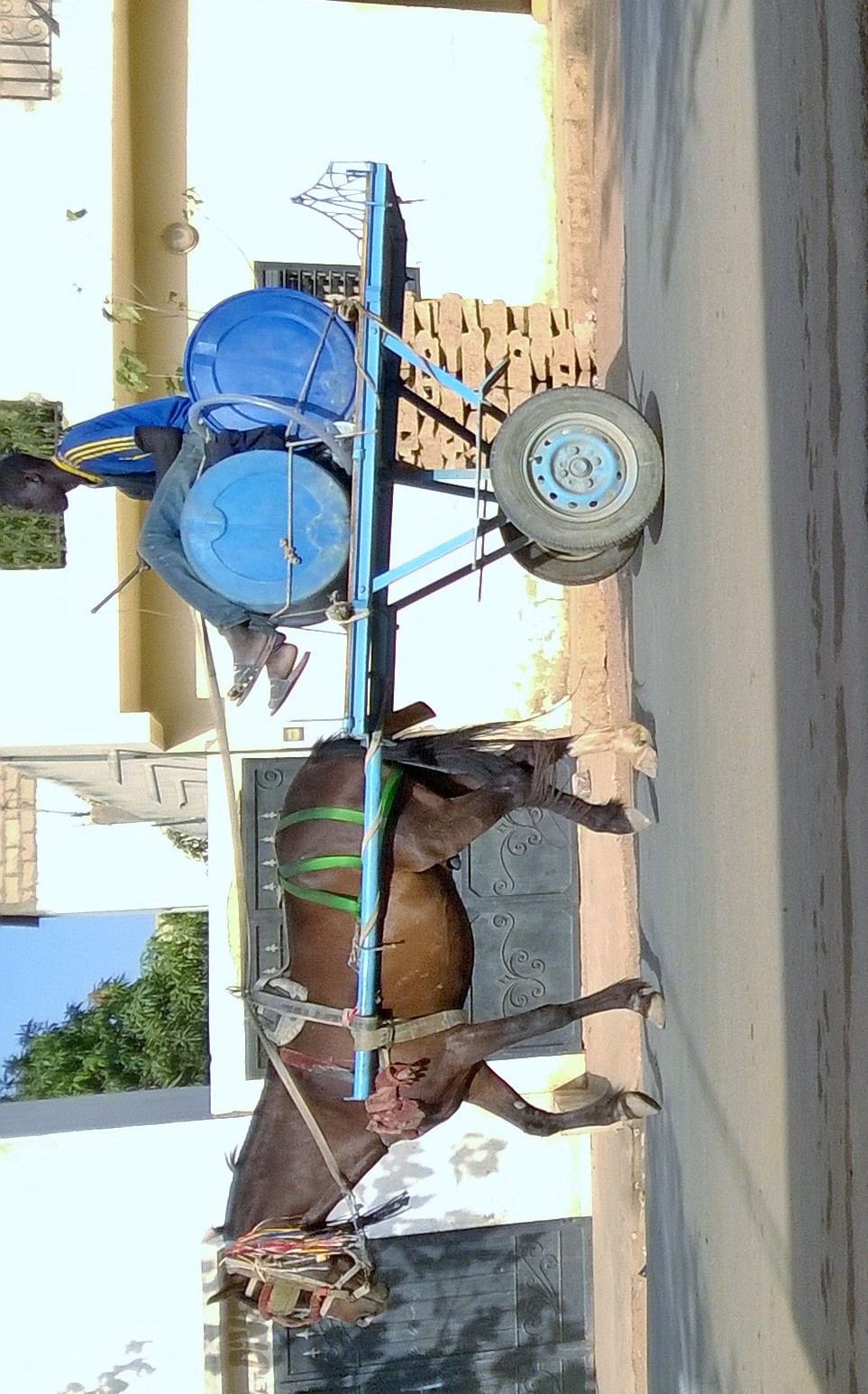
This article describes the system of transport in Senegal, both public and private.This system comprises roads (both paved and unpaved), rail transport, water transport, and air transportation. Roads The system of roads in Senegal is extensive by West African standards, with paved roads reaching each corner of the country and all major towns. International highways Dakar is the endpoint of three routes in the Trans-African Highway network. These are as follows: * Cairo-Dakar Highway which crosses the edge of the Sahara * Dakar-Ndjamena Highway which links the countries of the Sahel, also called the Trans-Sahelian Highway * Dakar-Lagos Highway running along the West African coast and called by the Economic Community of West African States (ECOWAS) the Trans–West African Coastal Highway (though ECOWAS considers this route to start in Nouakchott, Mauritania). Senegal's road network links closely with those of the Gambia, since the shortest route between south-western distri ... [...More Info...] [...Related Items...] OR: [Wikipedia] [Google] [Baidu] |
Tambacounda
Tambacounda ( ar, تامباكوندا; Wolof: Tambaakundaa ) is the largest city in eastern Senegal, southeast of Dakar, and is the regional capital of the province of the same name. Its estimated population in 2007 was 78,800. Geography Tambacounda is situated on the sparsely populated sahélien plains of eastern Senegal. Nearby towns include Madina Maboule, Koukari, Yoro Sankoule, Sambadian, Djidje Kounda, Afia Seno, Saare Boylii and Kanderi Niana. Climate Tambacounda has a tropical savanna climate (Köppen ''Aw''), bordering upon a hot semi-arid climate (''BSh''). Like most of West Africa, the area has two seasons, the rainy season from June to October, characterized by heat, humidity and storms, and the sweltering, rainless dry season from November to May. The average precipitation is . Population and culture Between the censuses of 1988 and 2002, Tambacounda grew from 41,885 to 67,543 inhabitants. In 2007, according to official estimates, the population reached 78,8 ... [...More Info...] [...Related Items...] OR: [Wikipedia] [Google] [Baidu] |
French Language
French ( or ) is a Romance language of the Indo-European family. It descended from the Vulgar Latin of the Roman Empire, as did all Romance languages. French evolved from Gallo-Romance, the Latin spoken in Gaul, and more specifically in Northern Gaul. Its closest relatives are the other langues d'oïl—languages historically spoken in northern France and in southern Belgium, which French ( Francien) largely supplanted. French was also influenced by native Celtic languages of Northern Roman Gaul like Gallia Belgica and by the ( Germanic) Frankish language of the post-Roman Frankish invaders. Today, owing to France's past overseas expansion, there are numerous French-based creole languages, most notably Haitian Creole. A French-speaking person or nation may be referred to as Francophone in both English and French. French is an official language in 29 countries across multiple continents, most of which are members of the ''Organisation internationale de la Francophonie'' ... [...More Info...] [...Related Items...] OR: [Wikipedia] [Google] [Baidu] |
Mass Arrest
A mass arrest occurs when police apprehend large numbers of suspects at once. This sometimes occurs at protests. Some mass arrests are also used in an effort to combat gang activity. This is sometimes controversial, and lawsuits sometimes result. In police science, it is deemed to be good practice to plan for the identification of those arrested during mass arrests, since it is unlikely that the officers will remember everyone they arrested. Historical examples The Japan Farmers' Union and Japanese labor-farmer groups were hit by mass arrests in the 1920s. On April 16, 1929, several thousand members of the farmers' movement were arrested. Following World War II, mass arrests (over 120,000) of actual and suspected Quislings occurred in Norway. Totalitarian regimes have sometimes conducted mass arrests as a prelude to a purge of perceived political enemies, sometimes through executions. On March 10, 2010 a mass crackdown was initiated to thwart a planned peaceful 'million march' to ... [...More Info...] [...Related Items...] OR: [Wikipedia] [Google] [Baidu] |


