|
Košice Region
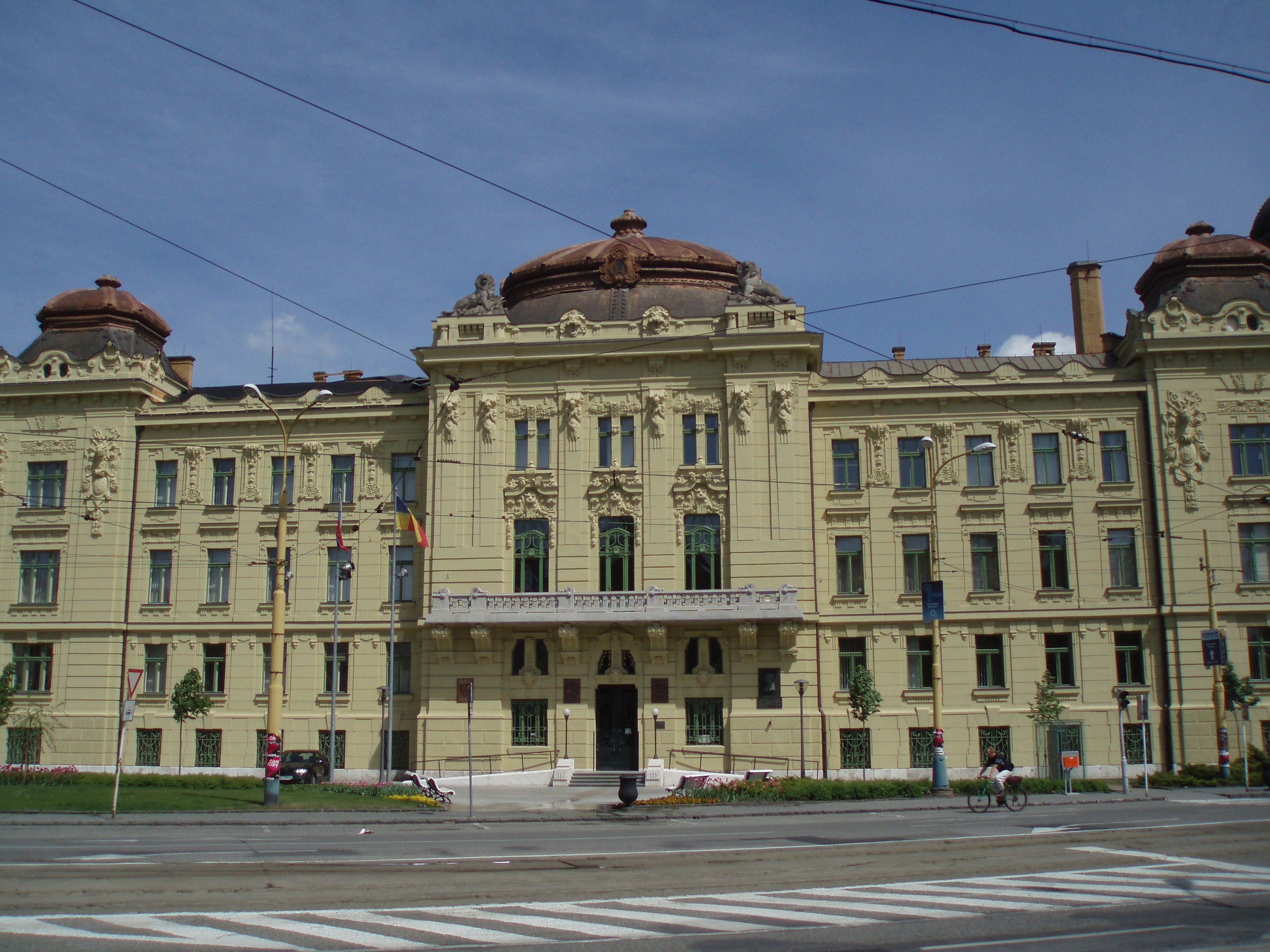
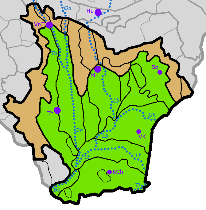
The Košice Region ( sk, Košický kraj, , hu, Kassai kerület; uk, Кошицький край) is one of the eight Slovak administrative regions. The region was first established in 1923 and its present borders were established in 1996. It consists of 11 districts (okresy) and 440 municipalities, 17 of which have a town status. About one third of the region's population lives in the agglomeration of Košice, which is its main economic and cultural centre. Geography It is located in the southern part of eastern Slovakia and covers an area of 6,752 km2. The western part of the region is composed of the eastern part of the Slovak Ore Mountains, including its subdivisions: Slovak Karst, Slovak Paradise, Volovské vrchy, Čierna hora. The Hornád Basin is located in the northwest. The area between Slovak Ore Mountains and Slanské vrchy is covered by the Košice Basin, named after the city. The area east of Slanské vrchy is covered by the Eastern Slovak Lowland and ... [...More Info...] [...Related Items...] OR: [Wikipedia] [Google] [Baidu] |
Regions Of Slovakia
Since 1949 (except 1990–1996), Slovakia has been divided into a number of '' kraje'' (singular ''kraj''; usually translated as "Regions" with capital R). Their number, borders and functions have been changed several times. There are eight regions of Slovakia and they correspond to the EU's NUTS 3 level of local administrative units. Each kraj consists of ''okresy'' (counties or districts). There are 79 districts. List After a period without kraje and without any equivalent (1990–1996), the kraje were reintroduced in 1996. As for administrative division, Slovakia has been subdivided into 8 ''kraje'' since 24 July 1996: Since 2002, Slovakia is divided into 8 ''samosprávne kraje'' (self-governing regions), which are called by the Constitution ''vyššie územné celky'' (Higher Territorial Units), abbr. VÚC. The territory and borders of the self-governing regions are identical with the territory and borders of the ''kraje''. Therefore, the word "kraj" can be replaced b ... [...More Info...] [...Related Items...] OR: [Wikipedia] [Google] [Baidu] |
Eastern Slovak Lowland
The East(ern) Slovak Lowland ( Slovak: ''Východoslovenská nížina'') is the name of a part of the Great Hungarian Plain (Slovak: ''Veľká dunajská kotlina'') situated in Slovakia. In terms of geomorphology, it forms one unit together with the Tisza Lowland (''Tiszamenti síkság'') in Hungary, the Transcarpathian Lowland (''Zakarpats'ka nyzovyna'') in Ukraine, and the plain ''Câmpia Someşului'' in Romania Romania ( ; ro, România ) is a country located at the crossroads of Central, Eastern, and Southeastern Europe. It borders Bulgaria to the south, Ukraine to the north, Hungary to the west, Serbia to the southwest, Moldova to the east, a .... It consists of the following two parts: * Eastern Slovak Hills (also translated as Eastern Slovak Upland) in the west and the north; and * Eastern Slovak Flat (also translated as Eastern Slovak Plain) in the middle, east and south. References {{Authority control Plains of Slovakia Pannonian Plain ... [...More Info...] [...Related Items...] OR: [Wikipedia] [Google] [Baidu] |
Michalovce
Michalovce (; hu, Nagymihály, german: Großmichel, Romani: ''Mihalya'', Yiddish: ''Mikhaylovets'' or ''Mykhaylovyts''; uk, Михайлівці) is a town on the Laborec river in eastern Slovakia. Originally named after the Archangel St Michael, it is the second-largest city in the Košice Region and the seat of the Michalovce District. The city is located on the shore of Lake Sirava, approximately east of the capital Bratislava and immediately adjacent to the border with Ukraine. Michalovce is mostly recognized for its adjacent lakes and volcanic mountains, which generates tourism, and for agriculture as well as the passing Druzhba pipeline. According to the latest census, the population of the town stood at 40,255, with a metropolitan population of 109,121, which ranks it among the largest population centers in eastern Slovakia. History Early history The city of present-day Michalovce along with the adjacent lowlands was settled in from the Palaeolithic era. Archaeolog ... [...More Info...] [...Related Items...] OR: [Wikipedia] [Google] [Baidu] |
Banská Bystrica Region
The Banská Bystrica Region ( sk, Banskobystrický kraj, ; hu, Besztercebányai kerület, ) is one of the Regions of Slovakia, eight regions of Slovakia. It is the largest region by area, and has a lower population density than any other region. The Banská Bystrica region was established in 1923; its borders were last adjusted in 1996. Banská Bystrica consists of 514 municipalities, 24 of which have town status. Its administrative center is the eponymous town of Banská Bystrica, which is also the region's largest town. Other important towns are Zvolen and Lučenec. Geography It is located in the central part of Slovakia and has an area of 9,455 km2. The region is prevailingly mountainous, with several ranges within the area. The highest of them are the Low Tatras in the north, where the highest point, Ďumbier, is located. Some of the mountain ranges in the west include Kremnica Mountains, Vtáčnik and Štiavnica Mountains. The Javorie and Krupina Plain ranges are locate ... [...More Info...] [...Related Items...] OR: [Wikipedia] [Google] [Baidu] |
Hungary
Hungary ( hu, Magyarország ) is a landlocked country in Central Europe. Spanning of the Carpathian Basin, it is bordered by Slovakia to the north, Ukraine to the northeast, Romania to the east and southeast, Serbia to the south, Croatia and Slovenia to the southwest, and Austria to the west. Hungary has a population of nearly 9 million, mostly ethnic Hungarians and a significant Romani minority. Hungarian, the official language, is the world's most widely spoken Uralic language and among the few non- Indo-European languages widely spoken in Europe. Budapest is the country's capital and largest city; other major urban areas include Debrecen, Szeged, Miskolc, Pécs, and Győr. The territory of present-day Hungary has for centuries been a crossroads for various peoples, including Celts, Romans, Germanic tribes, Huns, West Slavs and the Avars. The foundation of the Hungarian state was established in the late 9th century AD with the conquest of the Carpat ... [...More Info...] [...Related Items...] OR: [Wikipedia] [Google] [Baidu] |
Zakarpattia Oblast
The Zakarpattia Oblast ( uk, Закарпатська область, Zakarpatska oblast) is an Administrative divisions of Ukraine, administrative oblast located in western Ukraine, mostly coterminous with the historical region of Carpathian Ruthenia. Its Capital (political), administrative centre is the city of Uzhhorod, Other major cities within the oblast include Mukachevo, Khust, Berehove, and Chop, Ukraine, Chop, the last of which is home to railroad transport infrastructure. Zakarpattia Oblast was established on 22 January 1946, after Czechoslovakia gave up its claim to the territory of ''Carpathian Ruthenia, Subcarpathian Ruthenia'' ( cs, Podkarpatská Rus) under a treaty between Czechoslovakia and the Soviet Union. The territory of ''Carpathian Ruthenia, Subcarpathian Ruthenia'' was then taken over by the Soviet Union and became part of the Ukrainian Soviet Socialist Republic. Some scholars say that during the 1991 Ukrainian independence referendum, Ukrainian independe ... [...More Info...] [...Related Items...] OR: [Wikipedia] [Google] [Baidu] |
Prešov Region
The Prešov Region, also Priashiv Region ( sk, Prešovský kraj, ; hu, Eperjesi kerület; uk, Пряшівський край) is one of the eight Slovak administrative regions and consists of 13 districts (okresy) and 666 municipalities, 23 of which have town status. The region was established in 1996 and is the most populous of all the regions in Slovakia. Its administrative center is the city of Prešov. Geography It is located in the north-eastern Slovakia and has an area of 8,975 km2. The region has a predominantly mountainous landscape. The subdivisions of Tatras – High Tatras and Belianske Tatras lie almost entirely in the region and include the highest point of Slovakia – Gerlachovský štít (2,654 ASL). Other mountain ranges and highlands in the region are Šarišská vrchovina, Čergov, Ondavská vrchovina, Slanské vrchy, Pieniny, Levoča Hills, Laborecká vrchovina, Bukovské vrchy, Vihorlat Mountains and Eastern Slovak Lowland. The basins in ... [...More Info...] [...Related Items...] OR: [Wikipedia] [Google] [Baidu] |
Tisza
The Tisza, Tysa or Tisa, is one of the major rivers of Central and Eastern Europe Eastern Europe is a subregion of the European continent. As a largely ambiguous term, it has a wide range of geopolitical, geographical, ethnic, cultural, and socio-economic connotations. The vast majority of the region is covered by Russia, wh .... Once, it was called "the most Hungarian river" because it flowed entirely within the Kingdom of Hungary. Today, it crosses several national borders. The Tisza begins near Rakhiv in Ukraine, at the confluence of the White Tisa and Black Tisa, which is at coordinates 48.07465560782065, 24.24443465360461 (the former springs in the Chornohora, Chornohora mountains; the latter in the Gorgany range). From there, the Tisza flows west, roughly following Ukraine's borders with Romania and Hungary, then shortly as border between Slovakia and Hungary, later into Hungary, and finally into Serbia. It enters Hungary at Tiszabecs. It traverses Hungary from nort ... [...More Info...] [...Related Items...] OR: [Wikipedia] [Google] [Baidu] |
Bodrog
The Bodrog is a river in eastern Slovakia and north-eastern Hungary. It is a tributary to the river Tisza. The Bodrog is formed by the confluence of the rivers Ondava and Latorica near Zemplín in eastern Slovakia. It crosses the Slovak–Hungarian border at the village of Felsőberecki (near Sátoraljaújhely) in Hungary, and Streda nad Bodrogom in Slovakia, where it is also the lowest point in Slovakia (94.3 m AMSL), and continues its flow through the Hungarian county Borsod-Abaúj-Zemplén, until it meets the river Tisza, in Tokaj. A town along its course is Sárospatak, in Hungary. Its length is 67 km (15 in Slovakia, 52 in Hungary). Its watershed area is 13,579 km2 of which 972 km2 is in Hungary. The river is rich in fish Fish are aquatic, craniate, gill-bearing animals that lack limbs with digits. Included in this definition are the living hagfish, lampreys, and cartilaginous and bony fish as well as various extinct related groups. App ... [...More Info...] [...Related Items...] OR: [Wikipedia] [Google] [Baidu] |
Hornád
Hornád ( Slovak, ) or Hernád ( Hungarian, ) is a river in eastern Slovakia and north-eastern Hungary. It is a tributary to the river Slaná (Sajo). The source of the Hornád is the eastern slopes of Kráľova hoľa hill, south of Šuňava. The river is 286 km long, with 178 km located in Slovakia, and the remaining 108 km in Hungary. Cities along its course are Spišská Nová Ves and Košice, both in Slovakia. It flows into the river Sajó ( Slovak Slaná) southeast of Miskolc. Along the river are a series of six separate limestone rocky cliffs and steep slopes, which collectively make up the Site of Community Importance A Site of Community Importance (SCI) is defined in the European Commission Habitats Directive (92/43/EEC) as a site which, in the biogeographical region or regions to which it belongs, contributes significantly to the maintenance or restoration at ... 'Hornádske vápence'. References Rivers of Slovakia Rivers of Hungary Spiš I ... [...More Info...] [...Related Items...] OR: [Wikipedia] [Google] [Baidu] |


.jpg)


