|
Kissy, Sierra Leone
Kissy is a neighbourhood located on the eastern end of the capital, Freetown, in Sierra Leone. It is known for its various health services, including the United Methodist Church Health and Maternity ward, as well as Kissy Mental Hospital. Additionally, Kissy is home to over 500 Liberian refugees. In Kissy Village, you can find the ''Kissy Road Church of the Holy Trinity,'' which should not be confused with the Church of the Holy Trinity on ''Kissy Road.'' The latter was burned down by Revolutionary United Front, RUF rebel forces in 1999, but a restoration plan was implemented, successfully restoring the building. Moreover, the church on Kissy Road operated a school. History Kissy was founded in 1816 to provide accommodation for recaptives, liberated enslaved Africans, who had been brought to Freetown Freetown is the capital and largest city of Sierra Leone. It is a major port city on the Atlantic Ocean and is located in the Western Area of the country. Freetown is Sierra Le ... [...More Info...] [...Related Items...] OR: [Wikipedia] [Google] [Baidu] |
Flag Of Sierra Leone
The national flag of Sierra Leone is a tricolour consisting of three horizontal green, white and blue bands. It was adopted in 1961, Sierra Leone's independence year, to replace the British Blue Ensign defaced with the arms of the Crown Colony of Sierra Leone. History The British first arrived in what is now modern-day Sierra Leone in 1787, when philanthropists and abolitionists acquired of land situated close to Bunce Island for freed slaves. The site of the settlement is where Freetown is now located. It became a crown colony of the United Kingdom within its colonial empire in 1808, Colony of Sierra Leone. Under colonial rule, Sierra Leone used the British Blue Ensign and defaced it with the arms of the territory. The emblem of Sierra Leone at the time consisted of a circle depicting an elephant, an oil palm tree and mountains, along with the letters "S.L." standing for the initials of the territory's name. Other than the initials, the rest of the emblem's design wa ... [...More Info...] [...Related Items...] OR: [Wikipedia] [Google] [Baidu] |
Royal Navy
The Royal Navy (RN) is the United Kingdom's naval warfare force. Although warships were used by English and Scottish kings from the early medieval period, the first major maritime engagements were fought in the Hundred Years' War against France. The modern Royal Navy traces its origins to the early 16th century; the oldest of the UK's armed services, it is consequently known as the Senior Service. From the middle decades of the 17th century, and through the 18th century, the Royal Navy vied with the Dutch Navy and later with the French Navy for maritime supremacy. From the mid 18th century, it was the world's most powerful navy until the Second World War. The Royal Navy played a key part in establishing and defending the British Empire, and four Imperial fortress colonies and a string of imperial bases and coaling stations secured the Royal Navy's ability to assert naval superiority globally. Owing to this historical prominence, it is common, even among non-Britons, to ref ... [...More Info...] [...Related Items...] OR: [Wikipedia] [Google] [Baidu] |
Refugee Camps In Africa
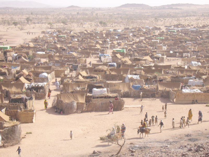
A refugee, conventionally speaking, is a displaced person who has crossed national borders and who cannot or is unwilling to return home due to well-founded fear of persecution.FAQ: Who is a refugee? ''www.unhcr.org'', accessed 22 June 2021 Such a person may be called an until granted by the contracting state or the |
Neighbourhoods In Freetown
A neighbourhood (British English, Irish English, Australian English and Canadian English) or neighborhood (American English; American and British English spelling differences, see spelling differences) is a geographically localised community within a larger city, town, suburb or rural area, sometimes consisting of a single street and the buildings lining it. Neighbourhoods are often social communities with considerable face-to-face interaction among members. Researchers have not agreed on an exact definition, but the following may serve as a starting point: "Neighbourhood is generally defined spatially as a specific geographic area and functionally as a set of social networks. Neighbourhoods, then, are the Neighbourhood unit, spatial units in which face-to-face social interactions occur—the personal settings and situations where residents seek to realise common values, socialise youth, and maintain effective social control." Preindustrial cities In the words of the urban sch ... [...More Info...] [...Related Items...] OR: [Wikipedia] [Google] [Baidu] |
YouTube
YouTube is a global online video platform, online video sharing and social media, social media platform headquartered in San Bruno, California. It was launched on February 14, 2005, by Steve Chen, Chad Hurley, and Jawed Karim. It is owned by Google, and is the List of most visited websites, second most visited website, after Google Search. YouTube has more than 2.5 billion monthly users who collectively watch more than one billion hours of videos each day. , videos were being uploaded at a rate of more than 500 hours of content per minute. In October 2006, YouTube was bought by Google for $1.65 billion. Google's ownership of YouTube expanded the site's business model, expanding from generating revenue from advertisements alone, to offering paid content such as movies and exclusive content produced by YouTube. It also offers YouTube Premium, a paid subscription option for watching content without ads. YouTube also approved creators to participate in Google's Google AdSens ... [...More Info...] [...Related Items...] OR: [Wikipedia] [Google] [Baidu] |
Lungi International Airport
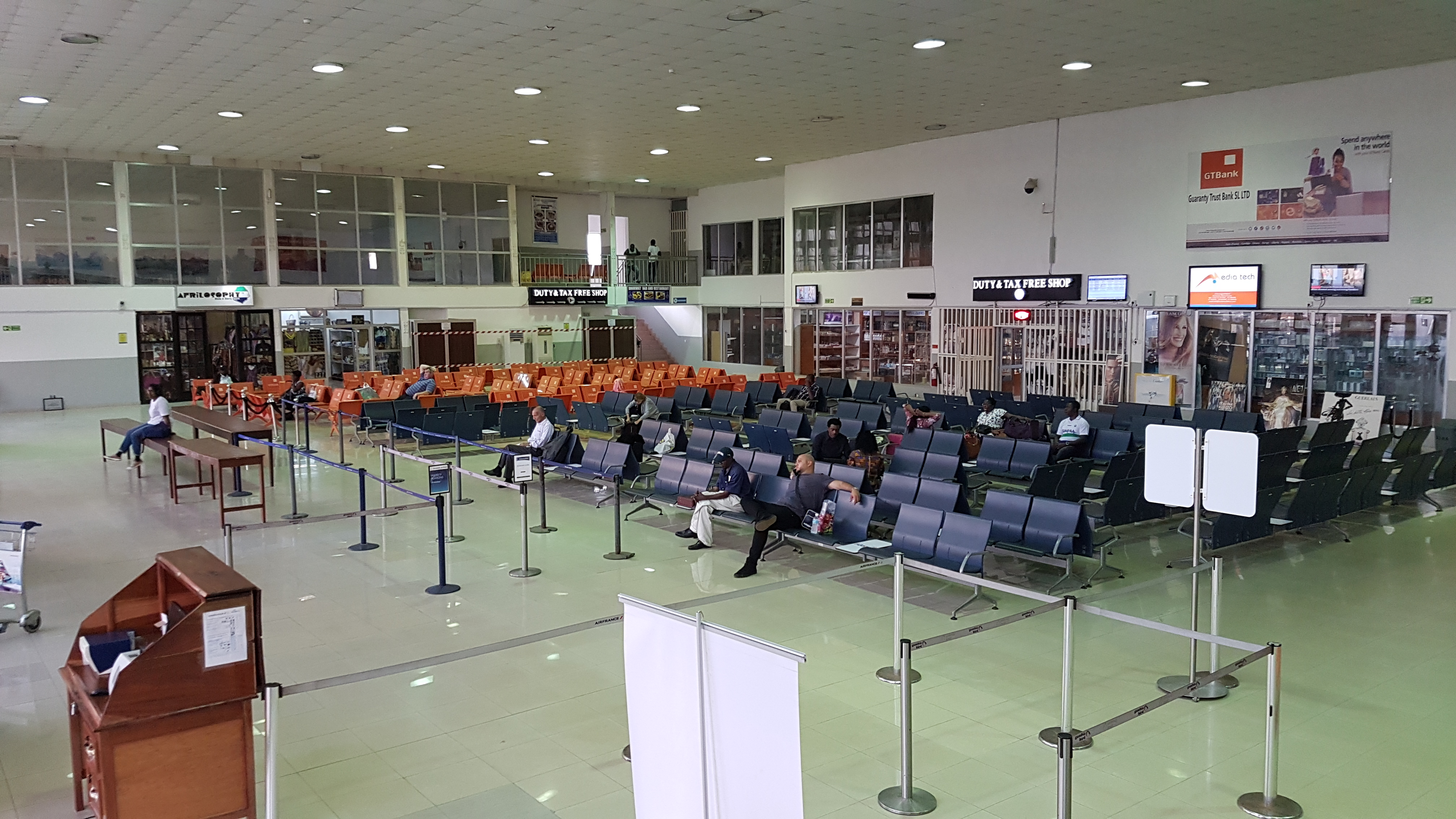
Freetown International Airport (officially), locally known as Lungi International Airport, is an international airport located in the coastal town of Lungi, Sierra Leone. It is the only international airport in Sierra Leone. The Sierra Leone River separates Lungi International Airport from Freetown, the nation's capital city. The airport is operated by the Sierra Leone Airports Authority. Prior to its use as a civilian airport, it was a British Royal Air Force base. In 2012 its management was contracted out to the British security and military company Westminster Aviation Security Services Ltd. A new international airport was planned at Mamamah to replace Lungi International Airport. Mamamah International Airport was expected to be operational by 2022, however the project was cancelled in October 2018 following a change of government. The government Aviation Minister stated that they would refurbish Lungi instead and may build a bridge to better link the airport to Freetown. The ... [...More Info...] [...Related Items...] OR: [Wikipedia] [Google] [Baidu] |
Tagrin Point
Tagrin Point is the proposed location of a deep water port to replace the older and shallower port of Port Pepel in Sierra Leone. It would be connected to existing and new iron ore mined by an upgraded railway line converted to standard gauge. Ferry Tagrin lies on the opposite or northern side of the harbour to the capital of Freetown. There is a ferry from Kissy to Tagrin Point. See also * Railway stations in Sierra Leone * Iron ore in Africa Iron ore production in Africa is dominated by South Africa, Mauritania and Algeria. Many countries possess iron ore deposits that are as yet untapped/unmined. Countries and companies currently involved in production are listed here; measurements ... References External links RailwaysAfrica Geography of Sierra Leone {{SierraLeone-geo-stub ... [...More Info...] [...Related Items...] OR: [Wikipedia] [Google] [Baidu] |
British West Africa
British West Africa was the collective name for British colonies in West Africa during the colonial period, either in the general geographical sense or the formal colonial administrative entity. British West Africa as a colonial entity was originally officially known as Colony of Sierra Leone and its Dependencies, then British West African Territories and finally British West African Settlements. The United Kingdom held varying parts of these territories or the whole throughout the 19th century. From west to east, the colonies became the independent countries of The Gambia, Sierra Leone, Ghana and Nigeria. Until independence, Ghana was referred to as the Gold Coast. Historical jurisdiction British West Africa constituted during two periods (17 October 1821, until its first dissolution on 13 January 1850, and again 19 February 1866, until its final demise on 28 November 1888) as an administrative entity under a governor-in-chief (comparable in rank to a governor-general), an ... [...More Info...] [...Related Items...] OR: [Wikipedia] [Google] [Baidu] |
Africa
Africa is the world's second-largest and second-most populous continent, after Asia in both cases. At about 30.3 million km2 (11.7 million square miles) including adjacent islands, it covers 6% of Earth's total surface area and 20% of its land area.Sayre, April Pulley (1999), ''Africa'', Twenty-First Century Books. . With billion people as of , it accounts for about of the world's human population. Africa's population is the youngest amongst all the continents; the median age in 2012 was 19.7, when the worldwide median age was 30.4. Despite a wide range of natural resources, Africa is the least wealthy continent per capita and second-least wealthy by total wealth, behind Oceania. Scholars have attributed this to different factors including geography, climate, tribalism, colonialism, the Cold War, neocolonialism, lack of democracy, and corruption. Despite this low concentration of wealth, recent economic expansion and the large and young population make Afr ... [...More Info...] [...Related Items...] OR: [Wikipedia] [Google] [Baidu] |
Sub-Sahara
Sub-Saharan Africa is, geographically, the area and regions of the continent of Africa that lies south of the Sahara. These include West Africa, East Africa, Central Africa, and Southern Africa. Geopolitically, in addition to the African countries and territories that are situated fully in that specified region, the term may also include polities that only have part of their territory located in that region, per the definition of the United Nations (UN). This is considered a non-standardized geographical region with the number of countries included varying from 46 to 48 depending on the organization describing the region (e.g. UN, WHO, World Bank, etc.). The African Union uses a different regional breakdown, recognizing all 55 member states on the continent - grouping them into 5 distinct and standard regions. The term serves as a grouping counterpart to North Africa, which is instead grouped with the definition of MENA (i.e. Middle East–North Africa) as it is part of the ... [...More Info...] [...Related Items...] OR: [Wikipedia] [Google] [Baidu] |
Colonialism
Colonialism is a practice or policy of control by one people or power over other people or areas, often by establishing colonies and generally with the aim of economic dominance. In the process of colonisation, colonisers may impose their religion, language, economics, and other cultural practices. The foreign administrators rule the territory in pursuit of their interests, seeking to benefit from the colonised region's people and resources. It is associated with but distinct from imperialism. Though colonialism has existed since ancient times, the concept is most strongly associated with the European colonial period starting with the 15th century when some European states established colonising empires. At first, European colonising countries followed policies of mercantilism, aiming to strengthen the home-country economy, so agreements usually restricted the colony to trading only with the metropole (mother country). By the mid-19th century, the British Empire gave up me ... [...More Info...] [...Related Items...] OR: [Wikipedia] [Google] [Baidu] |
Lunatic Asylum
The lunatic asylum (or insane asylum) was an early precursor of the modern psychiatric hospital. The fall of the lunatic asylum and its eventual replacement by modern psychiatric hospitals explains the rise of organized, institutional psychiatry. While there were earlier institutions that housed the " insane", the conclusion that institutionalization was the correct solution to treating people considered to be "mad" was part of a social process in the 19th century that began to seek solutions outside of families and local communities. History Medieval era In the Islamic world, the '' Bimaristans'' were described by European travellers, who wrote about their wonder at the care and kindness shown to lunatics. In 872, Ahmad ibn Tulun built a hospital in Cairo that provided care to the insane, which included music therapy. Nonetheless, physical historian Roy Porter cautions against idealising the role of hospitals generally in medieval Islam, stating that "They were a drop in the oc ... [...More Info...] [...Related Items...] OR: [Wikipedia] [Google] [Baidu] |


