|
Kimihia, New Zealand
Kimihia is a north-eastern suburb of Huntly, New Zealand. Education Kimihia School is a co-educational state full primary school covering years 1 to 8, with a roll of as of There has been a school at Kimihia since at least 1897. References Huntly, New Zealand Waikato District Populated places in Waikato {{Waikato-geo-stub ... [...More Info...] [...Related Items...] OR: [Wikipedia] [Google] [Baidu] |
Waikato District
Waikato District is a territorial authority of New Zealand, in the northern part of Waikato region, North Island. Waikato District is administered by the Waikato District Council, with headquarters in Ngāruawāhia. The district is centred to the north and west of the city of Hamilton, and takes in much of the northern Waikato Plains and also the Hakarimata Range. The north of the district contains swampy floodplain of the Waikato River and several small lakes, of which the largest is Lake Waikare. Other than Ngāruawāhia, the main population centres are Huntly, Raglan, and Te Kauwhata. The main industries in the district are dairy farming, forestry, and coal mining. There is a major coal-fired power station at Huntly. Te Kauwhata is at the centre of a major wine region. Demographics At the 2006 census the district had a population of 43,959. Of these, 6834 lived in Huntly, 5106 in Ngāruawāhia, 2637 in Raglan, and 1294 in Te Kauwhata. In 2010, the district acquired part o ... [...More Info...] [...Related Items...] OR: [Wikipedia] [Google] [Baidu] |
Ohinewai
Ohinewai or Ōhinewai is a small settlement in the Waikato Region, in New Zealand. It is located on the east bank of the Waikato River on SH1, 9 km north of Huntly The name is Māori for "girl's water place" (''o'' = place of, ''hine'' = girl, ''wai'' = water), or, more likely, "place of Hinewai", Hinewai being a female personal name. In July 2019, bed manufacturer Comfort Group announced its intention to create an affordable housing estate in Ohinewai. It has purchased 176ha of land with the intention of developing 1100 homes. Marae The local marae, Matahuru Papakainga, is a traditional meeting ground for the Waikato Tainui hapū of Ngāti Makirangi, Ngāti Mahuta and Ngāti Naho, and the Ngāpuhi hapū of Ngāti Hine. In October 2020, the Government committed $2,584,751 from the Provincial Growth Fund to upgrade the marae and 7 other Waikato Tainui Waikato Tainui, Waikato or Tainui is a group of Māori ''iwi'' based in Waikato Region, in the western central region ... [...More Info...] [...Related Items...] OR: [Wikipedia] [Google] [Baidu] |
Lake Kimihia
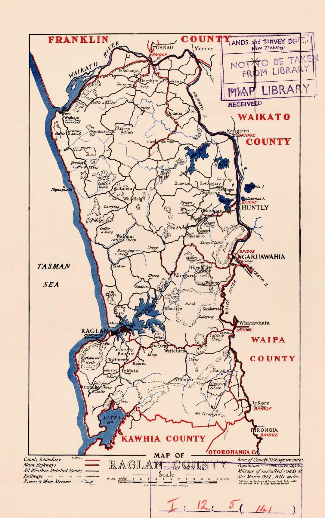
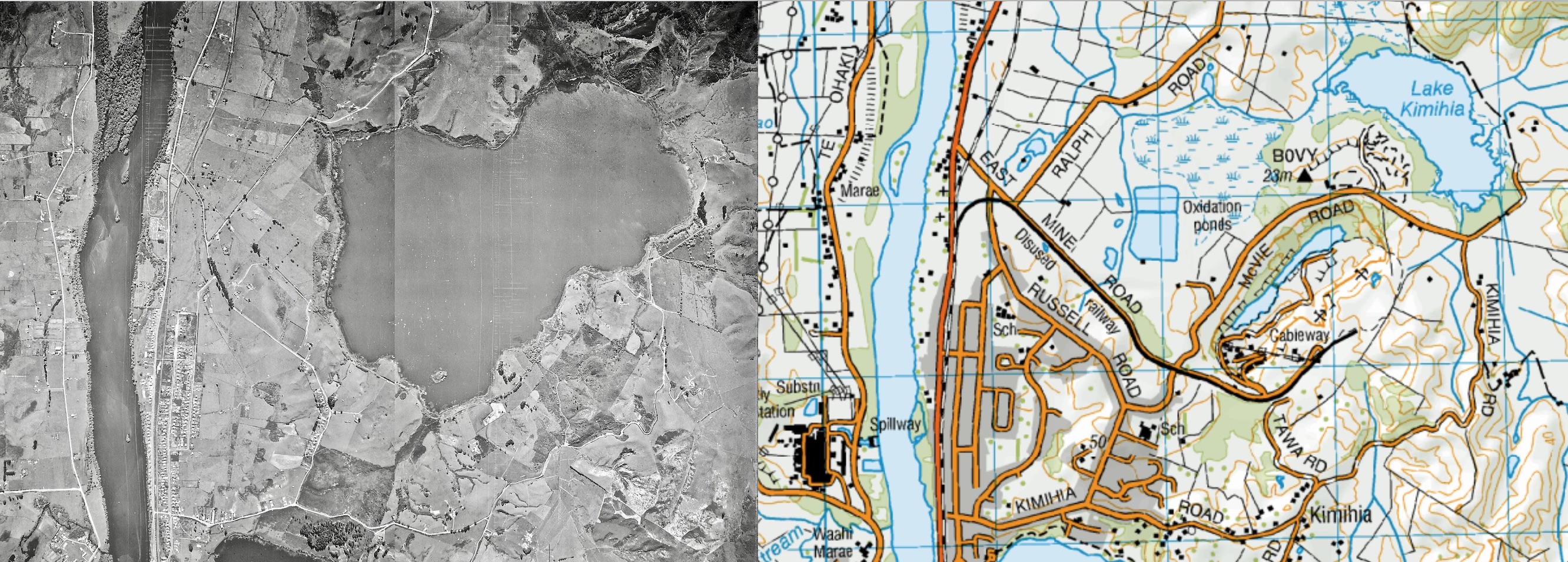
Lake Kimihia is located approximately 5 km to the Northeast of Huntly, in the Waikato Region of New Zealand. Lake Kimihia is a riverine lake, which links to the Waikato River. Lake Kimihia was significantly modified as a result of open cast coal mining, around the early 1940s. A cofferdam was built to allow mining over most of the bed, by reducing the lake from its previous . In the 1960s there were two lakes, but the westerly one has been replaced by a wetland. The lake is situated within predominantly pastoral land. An area at the southern end of the lake is being developed into a wetland, as the Huntly bypass of the Waikato Expressway The Waikato Expressway is a dual carriageway section of (SH 1) in New Zealand's Waikato region. Constructed in stages, it forms part of the link between Auckland and Hamilton. Currently stretching from Auckland to south of Cambridge, the hig ... is built across part of the former lakebed. References External linksWaikato River ... [...More Info...] [...Related Items...] OR: [Wikipedia] [Google] [Baidu] |
Waikato Expressway
The Waikato Expressway is a dual carriageway section of (SH 1) in New Zealand's Waikato region. Constructed in stages, it forms part of the link between Auckland and Hamilton. Currently stretching from Auckland to south of Cambridge, the highway was first built in 1993. Throughout its current lifetime, it had underwent many upgrades to optimize traffic flow throughout the Waikato region, including various bypasses of most towns in the region, and lastly Hamilton in 2022. The final part of the Expressway was completed on 12 July 2022. The expressway forms a long continuous four-lane dual carriageway from the Bombay Hills to beyond the town of Cambridge, south-east of Hamilton. Hamilton, as well as several other towns along the current route of SH 1 (such as Huntly, Ngāruawāhia and Cambridge), which have been completely bypassed by the expressway, allowing through traffic to move much more efficiently. History While not officially designated as the Waikato Expressway until t ... [...More Info...] [...Related Items...] OR: [Wikipedia] [Google] [Baidu] |
Lake Hakanoa
Lake Hakanoa is located within the eastern side of the Huntly township, in the Waikato Region of New Zealand. Lake Hakanoa is a riverine lake with links to the Waikato River, which lies to the west. A smaller lake lies within wetland near the southeastern edge of Hakanoa. There is a walking track around the perimeter of the lake. The lake is in size, has a maximum depth of , with a catchment area of . The domain, lake, edges and wetland cover . The lake level is controlled by a weir on the Hakanoa Stream, which drains to north into the Waikato River. The lake was lowered over in 1923, though drainage work had also been done in 1911. When Māori first came in the 14th century, tuna (eels) were plentiful in all the local lakes. After the invasion of the Waikato, Lake Hakanoa was usually referred to as a swamp and coal mine workings and spoil tips surrounded the lake, with a shaft close by, started after a new mine opened on the east bank after 1910. In 1932 unemployment re ... [...More Info...] [...Related Items...] OR: [Wikipedia] [Google] [Baidu] |
Huntly, New Zealand
Huntly ( mi, Rahui-Pōkeka) (population ) is a town in the Waikato district and region of the North Island of New Zealand. It was on State Highway 1 (until Huntly bypass opened in March 2020), south of Auckland and north of Hamilton. It is situated on the North Island Main Trunk (NIMT) railway (served by Te Huia since 6 April 2021 at a rebuilt Raahui Pookeka-Huntly Station) and straddles the Waikato River. Huntly is within the Waikato District which is in the northern part of the Waikato region local government area. History and culture Originally settled by Māori, European migrants arrived in the area some time in the 1850s. The Huntly name was adopted in the 1870s when the postmaster named it after Huntly, Aberdeenshire in Scotland. He used an old 'Huntley Lodge' stamp to stamp mail from the early European settlement. The ''Lodge'' was later dropped and the spelling changed to also drop the additional 'e'. The railway from Auckland reached Huntly in 1877, when the Huntl ... [...More Info...] [...Related Items...] OR: [Wikipedia] [Google] [Baidu] |
State Highway 1 (New Zealand)
State Highway 1 (SH 1) is the longest and most significant road in the New Zealand road network, running the length of both main islands. It appears on road maps as SH 1 and on road signs as a white number 1 on a red shield, but it has the official designations SH 1N in the North Island, SH 1S in the South Island. SH 1 is long, in the North Island and in the South Island. Since 2010 new roads have reduced the length from . For the majority of its length it is a two-lane single carriageway, with at-grade intersections and property accesses, in both rural and urban areas. These sections have some passing lanes. Around of SH 1 is of motorway or expressway standard : in the North Island and in the South Island. Route North Island (SH 1N) SH 1 starts at Cape Reinga, at the northwestern tip of the Aupouri Peninsula, and since April 2010 has been sealed (mainly with either chipseal or asphalt) for its entire length. From Waitiki Landing south of Cape Reinga, SH 1 trav ... [...More Info...] [...Related Items...] OR: [Wikipedia] [Google] [Baidu] |
Auckland Star
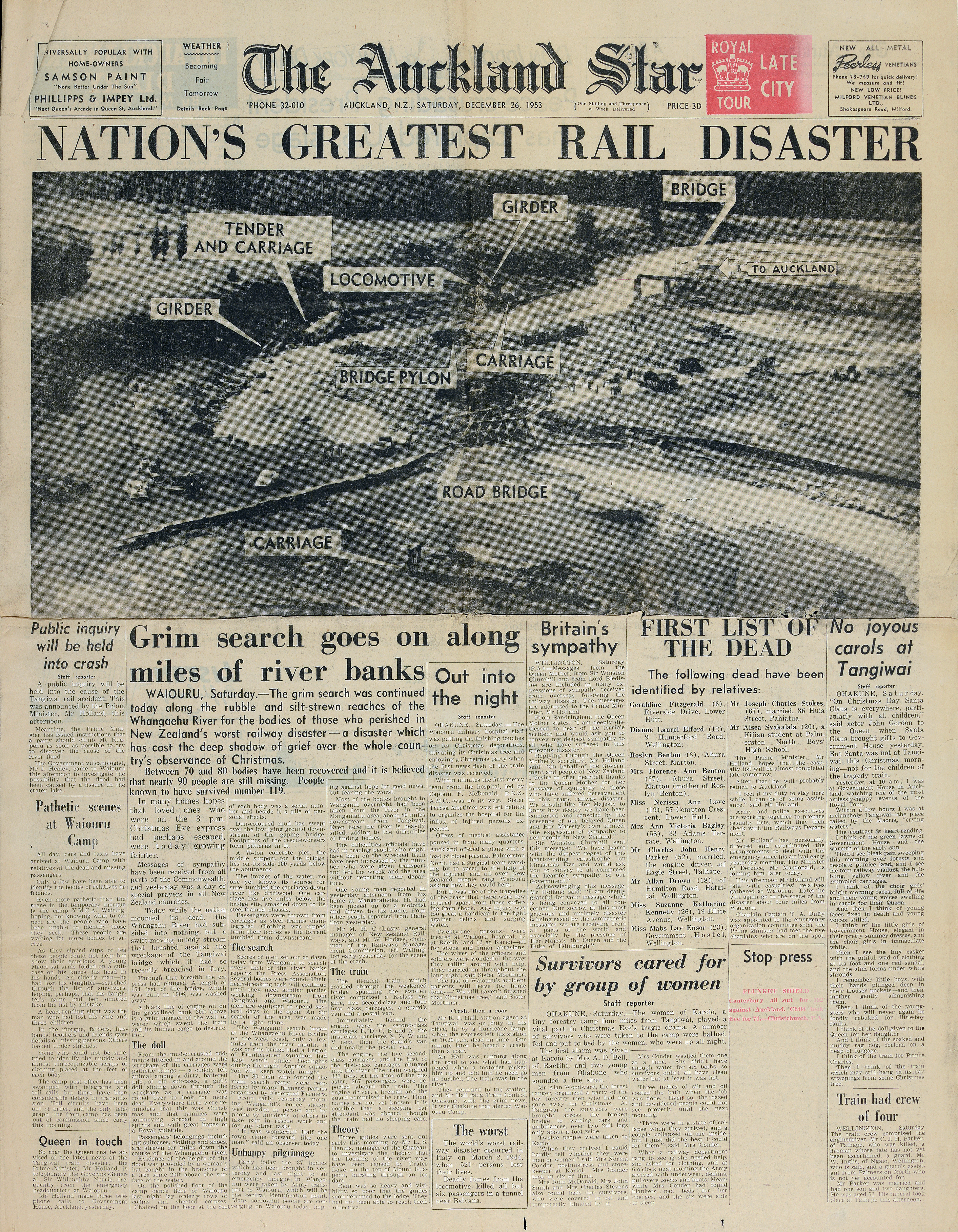
The ''Auckland Star'' was an evening daily newspaper published in Auckland, New Zealand, from 24 March 1870 to 16 August 1991. Survived by its Sunday edition, the ''Sunday Star'', part of its name endures in ''The Sunday Star-Times'', created in the 1994 merger of the ''Dominion Sunday Times'' and the ''Sunday Star''. Originally published as the ''Evening Star'' from 24 March 1870 to 7 March 1879, the paper continued as the ''Auckland Evening Star'' between 8 March 1879 and 12 April 1887, and from then on as the ''Auckland Star''. One of the paper's notable investigative journalists was Pat Booth, who was responsible for notable coverage of the Crewe murders and the eventual exoneration of Arthur Allan Thomas. Booth and the paper extensively reported on the Mr Asia case. In 1987, the owners of the ''Star'' launched a morning newspaper to more directly compete with ''The New Zealand Herald''. The ''Auckland Sun'' was affected by the 1987 stock market crash and folded a year l ... [...More Info...] [...Related Items...] OR: [Wikipedia] [Google] [Baidu] |


