|
Kelly Bray
Kelly Bray ( kw, Kellivre) is a village in east Cornwall, England, United Kingdom. It is situated one mile (1.6 km) north of Callington, immediately west of Kit Hill in a former mining area. Kelly Bray is in the parish of Callington and lies within the St Dominick, Harrowbarrow and Kelly Bray division on Cornwall Council. The population was 3,949 at the 2011 census. Kelly Bray is first recorded ca. 1286 as Kellibregh (Cornish "Kellybregh", meaning "dappled grove"). Kelly Bray was formerly the venue for the Royal Cornwall Show until it was moved to Wadebridge. The village was the location of Callington railway station - terminus of a branch line to Plymouth via Gunnislake. The line was closed beyond Gunnislake in 1966. Industrial history Prior to the industrialisation in the 19th century agriculture was the main activity in the land surrounding Kelly Bray. During the 1820s and 1830s a significant capital investment enabled the development of tin copper and lead mines in ... [...More Info...] [...Related Items...] OR: [Wikipedia] [Google] [Baidu] |
Callington, Cornwall
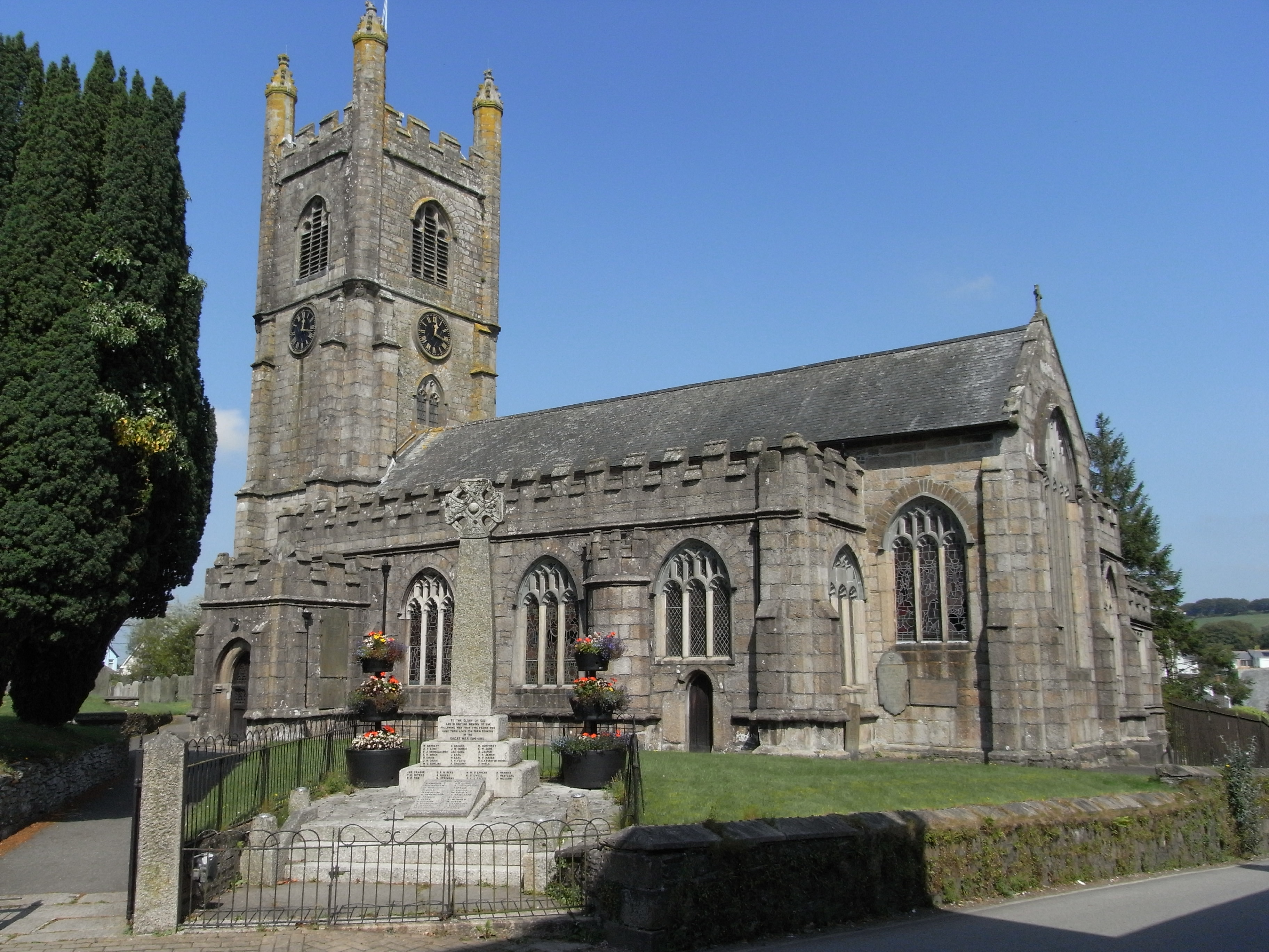
Callington ( kw, Kelliwik) is a civil parish and town in east Cornwall, England, United Kingdom about north of Saltash and south of Launceston. Callington parish had a population of 4,783 in 2001, according to the 2001 census. This had increased to 5,786 in the 2011 census. Geography The town is situated in east Cornwall between Dartmoor to the east and Bodmin Moor to the west. A former agricultural market town, it lies at the intersection of the south–north A388 Saltash to Launceston road and the east–west A390 Tavistock to Liskeard road. Kit Hill is a mile north-east of the town and rises to with views of Dartmoor, Bodmin Moor and the River Tamar. The hamlets of Bowling Green, Kelly Bray, Frogwell and Downgate are in the parish. Railway station Callington railway station was the terminus of a branch line from Bere Alston, the junction with the Southern Railway's Tavistock to Plymouth line. The railway line beyond Gunnislake to the Callington terminus was c ... [...More Info...] [...Related Items...] OR: [Wikipedia] [Google] [Baidu] |
Cornwall
Cornwall (; kw, Kernow ) is a historic county and ceremonial county in South West England. It is recognised as one of the Celtic nations, and is the homeland of the Cornish people. Cornwall is bordered to the north and west by the Atlantic Ocean, to the south by the English Channel, and to the east by the county of Devon, with the River Tamar forming the border between them. Cornwall forms the westernmost part of the South West Peninsula of the island of Great Britain. The southwesternmost point is Land's End and the southernmost Lizard Point. Cornwall has a population of and an area of . The county has been administered since 2009 by the unitary authority, Cornwall Council. The ceremonial county of Cornwall also includes the Isles of Scilly, which are administered separately. The administrative centre of Cornwall is Truro, its only city. Cornwall was formerly a Brythonic kingdom and subsequently a royal duchy. It is the cultural and ethnic origin of the Cornish dias ... [...More Info...] [...Related Items...] OR: [Wikipedia] [Google] [Baidu] |
South East Cornwall (UK Parliament Constituency)
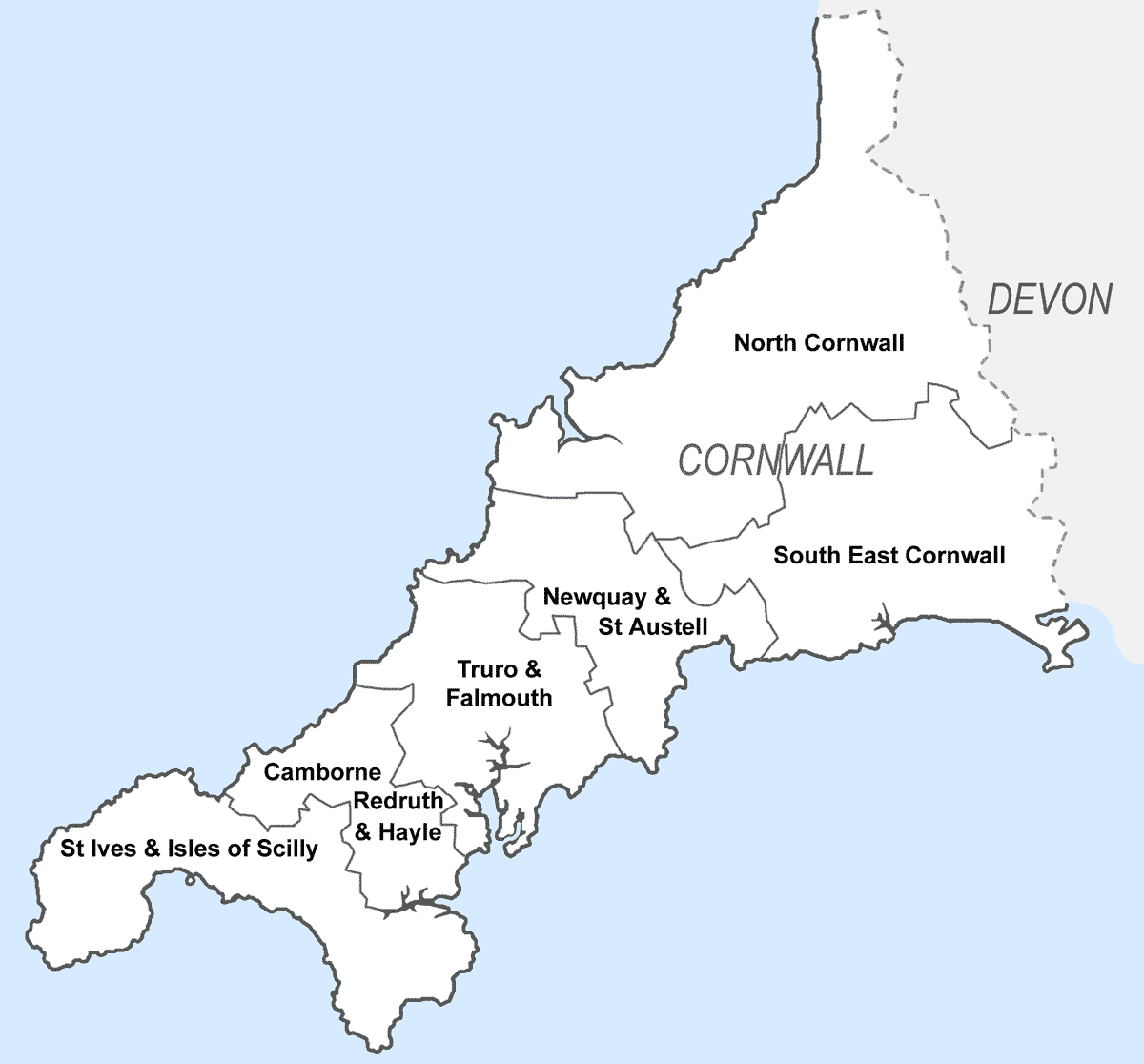
South East Cornwall is a constituency represented in the House of Commons of the UK Parliament since 2010 by Sheryll Murray, a Conservative. Boundaries 1983–2010: The District of Caradon, the Borough of Restormel wards of Fowey, Lostwithiel, St Blaise, and Tywardreath, and the District of North Cornwall ward of Stoke Climsland. 2010–present: The District of Caradon, and the Borough of Restormel ward of Lostwithiel. History The predecessor county division, Bodmin, serving the area from 1885 until 1983 had (during those 98 years) 15 members (two of whom had broken terms of office serving the area), seeing twelve shifts of preference between the Liberal, Liberal Unionist and Conservative parties, spread quite broadly throughout that period. Consistent with this, since 1983 the preference for an MP has alternated between Liberal Democrats and Conservatives. The current constituency territory contains the location of several former borough constituencies which were abol ... [...More Info...] [...Related Items...] OR: [Wikipedia] [Google] [Baidu] |
Kelly Bray Post Office - Geograph
Kelly may refer to: Art and entertainment * Kelly (Kelly Price album) * Kelly (Andrea Faustini album) * ''Kelly'' (musical), a 1965 musical by Mark Charlap * "Kelly" (song), a 2018 single by Kelly Rowland * ''Kelly'' (film), a 1981 Canadian film * ''Kelly'' (Australian TV series), an Australian television * ''Kelly'' (talk show), a Northern Ireland television talk and variety show * The Kelly Family, an Irish-American-European music group * ''Kelly Kelly'' (TV series), a 1998 U.S. sitcom on the WB television network * "Kelly", a 2019 single by Peakboy * Kelly West/ Zelena, a character on ''Once Upon a Time'' * Kelly (The Walking Dead), a fictional character from The Walking Dead People * Kelly (given name) * Kelly (surname) * Clan Kelly, a Scottish clan * Kelly (musician), a character portrayed by Liam Kyle Sullivan * Kelly (murder victim), once known as the "El Dorado Jane Doe" Places Australia * Kelly, South Australia, a locality * Kelly Basin, Tasmania * Hundr ... [...More Info...] [...Related Items...] OR: [Wikipedia] [Google] [Baidu] |
Kit Hill
Kit Hill ( kw, Bre Skowl), at 334 metres high, dominates the area between Callington and the River Tamar in southeast Cornwall, England, UK. The word 'Kit' comes from Old English for kite, a reference to birds of prey (and not specifically the red kite). Buzzards and sparrowhawks can still be seen on the hill. It is one of five Marilyn hills in Cornwall, the four others are Watch Croft, Brown Willy, Carnmenellis and Hensbarrow Beacon. Geography Kit Hill Country Park (which includes the hill and surrounding areas), was given to the people of Cornwall in 1985 to mark the birth of Prince William, by his father, the Duke of Cornwall (Prince Charles). It is managed by Cornwall Council,Exploring Cornish Mines - Vol. 4. and consists of some 400 acres (152 hectares), making it the most dominant landscape feature in East Cornwall. Kit Hill is the highest point in the Tamar Valley Area of Outstanding Natural Beauty. The hill was formed in the same way as nearby Bodmin Moor by the intr ... [...More Info...] [...Related Items...] OR: [Wikipedia] [Google] [Baidu] |
Mining In Cornwall
Mining in Cornwall and Devon, in the southwest of England, began in the early Bronze Age, around 2150 BC. Tin, and later copper, were the most commonly extracted metals. Some tin mining continued long after the mining of other metals had become unprofitable, but ended in the late 20th century. In 2021, it was announced that a new mine was extracting battery-grade lithium carbonate, more than 20 years after the closure of the last South Crofty tin mine in Cornwall in 1998. Historically, tin and copper as well as a few other metals (e.g. arsenic, silver, and zinc) have been mined in Cornwall and Devon. Tin deposits still exist in Cornwall, and there has been talk of reopening the South Crofty tin mine. In addition, work has begun on re-opening the Hemerdon tungsten and tin mine in south-west Devon. In view of the economic importance of mines and quarries, geological studies have been conducted; about forty distinct minerals have been identified from type localities in Cornwa ... [...More Info...] [...Related Items...] OR: [Wikipedia] [Google] [Baidu] |
St Dominick, Harrowbarrow And Kelly Bray (electoral Division)
St Dominick, Harrowbarrow and Kelly Bray ( Cornish: ) was an electoral division of Cornwall in the United Kingdom which returned one member to sit on Cornwall Council between 2013 and 2021. It was abolished at the 2021 local elections, being succeeded by Calstock and Callington and St Dominic. Councillors Extent St Dominick, Harrowbarrow and Kelly Bray represented the villages of Kelly Bray, Latchley, Chilsworthy, St Dominick, Harrowbarrow, Norris Green, Bohetherick, St Mellion and Metherell, and the hamlets of Ashton and Newton Newton most commonly refers to: * Isaac Newton (1642–1726/1727), English scientist * Newton (unit), SI unit of force named after Isaac Newton Newton may also refer to: Arts and entertainment * ''Newton'' (film), a 2017 Indian film * Newton ( .... It covered 4070 hectares in total. Election results 2017 election 2013 election References Electoral divisions of Cornwall Council {{UKward-geo-stub ... [...More Info...] [...Related Items...] OR: [Wikipedia] [Google] [Baidu] |
Cornwall Council
Cornwall Council ( kw, Konsel Kernow) is the unitary authority for Cornwall in the United Kingdom, not including the Isles of Scilly, which has its own unitary council. The council, and its predecessor Cornwall County Council, has a tradition of large groups of independent councillors, having been controlled by independents in the 1970s and 1980s. Since the 2021 elections, it has been under the control of the Conservative Party. Cornwall Council provides a wide range of services to the approximately half a million people who live in Cornwall. In 2014 it had an annual budget of more than £1 billion and was the biggest employer in Cornwall with a staff of 12,429 salaried workers. It is responsible for services including: schools, social services, rubbish collection, roads, planning and more. History Establishment of the unitary authority On 5 December 2007, the Government confirmed that Cornwall was one of five councils that would move to unitary status. This was enacted by st ... [...More Info...] [...Related Items...] OR: [Wikipedia] [Google] [Baidu] |
Weatherhill, Craig
Craig Weatherhill (1950 or 1951 – 18 or 19 July 2020) was a Cornish antiquarian, novelist and writer on the history, archaeology, place names and mythology of Cornwall. Weatherhill attended school in Falmouth, where his parents ran a sports shop. He played football for a number of local clubs, including Mawnan, and played as goalkeeper for the county football team. Between 1972 and 1974, Weatherhill served with the RAF, training as a cartographer. He was discharged after a serious back injury. He worked as a planning officer, architectural designer and historic conservation expert in local government and private practice. Under the tutelage of historian P.A.S. Pool he conducted archaeological surveys of West Cornwall. Weatherhill was also a Conservation Officer at Penwith District Council. He contributed to the BBC's Radyo Kernow, in particular to the series ''The Tinners' Way'' and ''Beachcombers''. In 1981 Weatherhill was made a Bard of Gorsedh Kernow for services to Corn ... [...More Info...] [...Related Items...] OR: [Wikipedia] [Google] [Baidu] |
Royal Cornwall Show
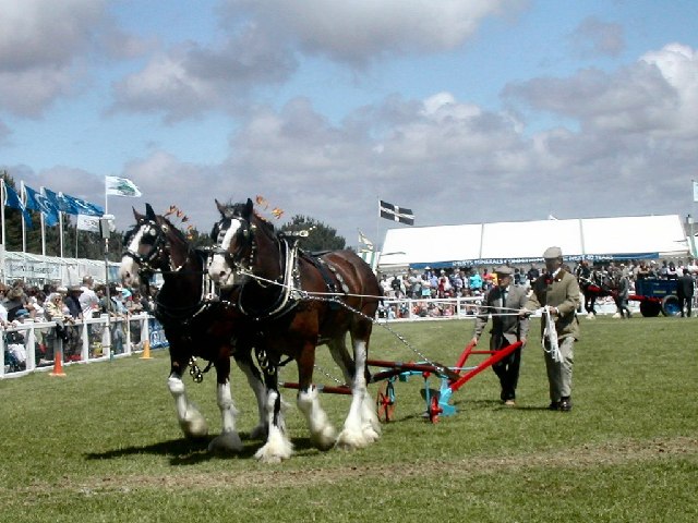
The Royal Cornwall Agricultural Show, usually called the Royal Cornwall Show, is an agricultural show organised by the Royal Cornwall Agricultural Association, which takes place at the beginning of June each year, at Wadebridge in north Cornwall, England, United Kingdom. The showground is on the south side of the A39 main road and between the hamlets of St Breock and Whitecross. Members of the Royal family often attend at the Show, including Prince Charles who is a supporter of the farming community. Princess Alexandra attended the 2009 show. The show lasts for three days and attracts approximately 120,000 visitors annually. History The Royal Cornwall Agricultural Association was founded in 1793, and has been known by that name since 1858. The show was held at Truro between 1827 and 1857, and from then on the venue changed every year until 1960, when the showground at Wadebridge became its permanent home. No show was held from 1915 to 1918, 1940 to 1945 nor 2020. * YEAR � ... [...More Info...] [...Related Items...] OR: [Wikipedia] [Google] [Baidu] |
Wadebridge
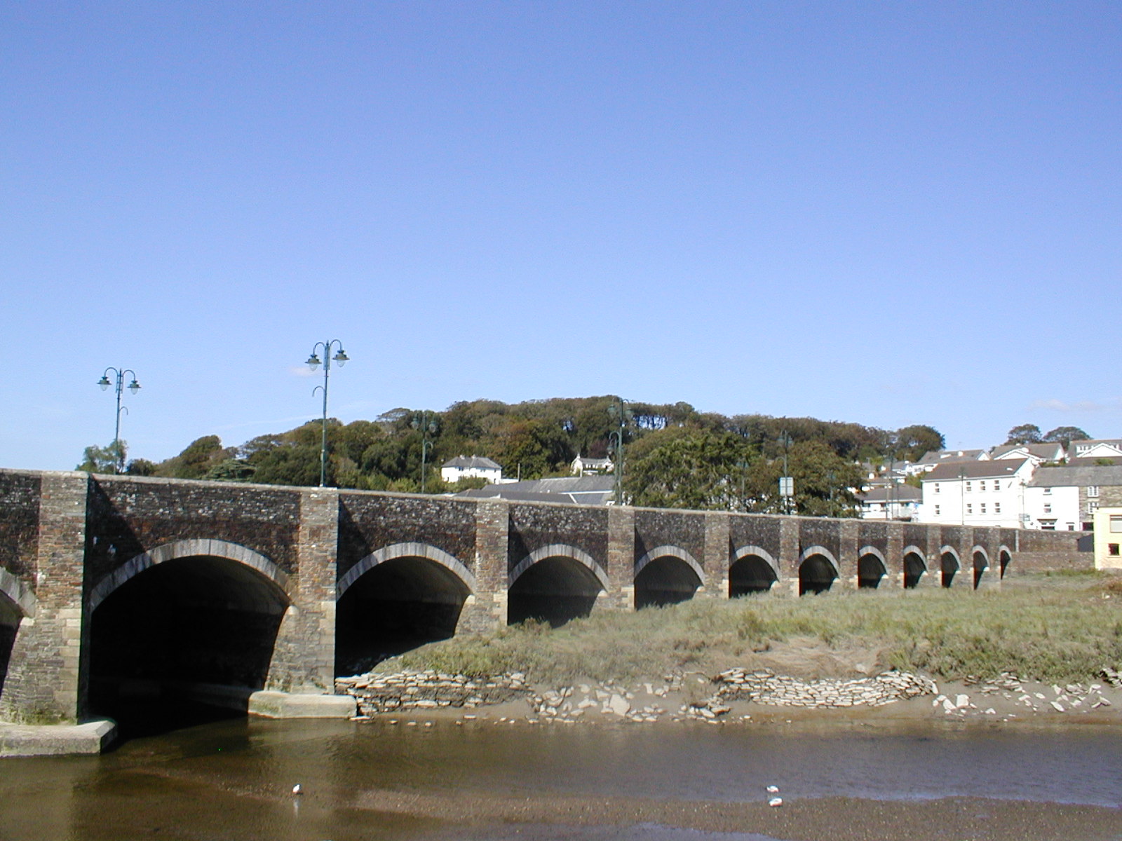
Wadebridge (; kw, Ponswad) is a town and civil parish in north Cornwall, England, United Kingdom. The town straddles the River Camel upstream from Padstow.Ordnance Survey: Landranger map sheet 200 ''Newquay & Bodmin'' The permanent population was 6,222 in the census of 2001, increasing to 7,900 in the 2011 census. There are two electoral wards in the town (East and West). Their total population is 8,272. Originally known as ''Wade'', it was a dangerous fording point across the river until a bridge was built here in the 15th century, after which the name changed to its present form. The bridge was strategically important during the English Civil War, and Oliver Cromwell went there to take it. Since then, it has been widened twice and refurbished in 1991. Wadebridge was served by a railway station between 1834 and 1967; part of the line now forms the Camel Trail, a recreational route for walkers, cyclists and horse riders. The town used to be a road traffic bottleneck on the ... [...More Info...] [...Related Items...] OR: [Wikipedia] [Google] [Baidu] |
Callington Railway Station
Callington railway station was a railway station in the village of Kelly Bray, north of the centre of the small town of Callington, Cornwall. It was the terminus of a branch line from Bere Alston, built by the Plymouth, Devonport and South Western Junction Railway, but operated by the London and South Western Railway. The station closed in 1966. The Tamar Valley Line still operates services from Bere Alston, with services terminating at Gunnislake railway station, to the east of Callington. The now-closed section of line north of Gunnislake was remote from local communities and provided a relatively slow journey compared with the competing roads, which limited its use. (Callington had good bus services to Saltash Saltash (Cornish: Essa) is a town and civil parish in south Cornwall, England, United Kingdom. It had a population of 16,184 in 2011 census. Saltash faces the city of Plymouth over the River Tamar and is popularly known as "the Gateway to Corn ... and Plymouth ... [...More Info...] [...Related Items...] OR: [Wikipedia] [Google] [Baidu] |


