|
Keelkattalai
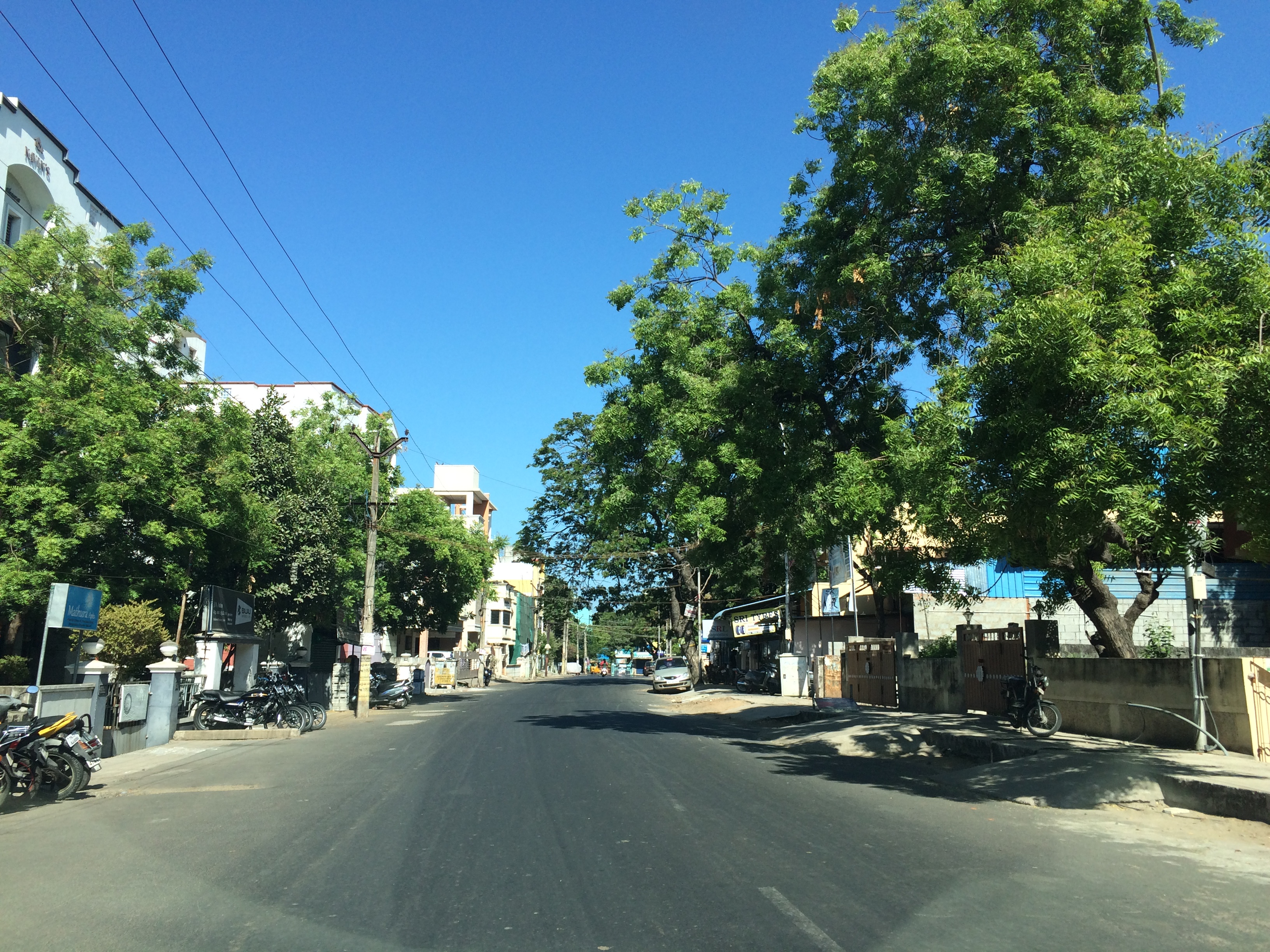
Keelkattalai (also written as Kilkattalai or Keezhkattalai) is a suburb in the south of Chennai, Tamil Nadu under the Tambaram Municipal Corporation. Statistics Census of India, Keelkattalai had a population of 27,981. History The name Keelkattalai is derived from the word கீழ் from கிழக்கு (east) and கட்டளை (village) and translates to "The village to the east", with respect to Pallavaram, a Pallava era settlement. Initially, Keelkattalai was incorporated as a village panchayat and on 17 January 1970, it was merged with the Zamin Pallavaram Town Panchayat, Issa Pallavaram Town Panchayat, Hasthinapuram Town Panchayat and Nemilichery Panchayat to form the Pallavaram municipality Connectivity Keelkattalai enjoys a well connected road network to major hubs in the city through two arterial roads connecting namely the Medavakkam Main Road and Pallavaram-Thoraipakkam Radial Road (SH 109). The area is served well by buses serviced by the Metro ... [...More Info...] [...Related Items...] OR: [Wikipedia] [Google] [Baidu] |
Adambakkam
Adambakkam is a neighbourhood of Chennai, India. It is primarily a residential locality situated in South Chennai . Adambakkam area comes under Velachery taluk and Alandur taluk, Chennai District of Chennai Corporation. Adambakkam is surrounded by areas namely, Alandur in the North-West, Nanganallur in the West, Madipakkam in the South, Velachery in the East and Guindy in the North. Earlier, one part of Adambakkam was under the direct governance of Chennai Corporation. From October 2011 onwards, the entire area was merged with the Chennai Corporation. Upon completion of the Chennai MRTS, MRTS extension line, the neighbourhood will be served by Adambakkam railway station. Its Proximity to commercial localities like Velachery, accessible railway stations, Metro Stations and road transport routes makes Adambakkam an ideal choice of location to live. Geography Adambakkam is located at . It has an average elevation of 7 metres (23 feet). The Adambakkam Lake situated in Jee ... [...More Info...] [...Related Items...] OR: [Wikipedia] [Google] [Baidu] |
Nanganallur
Nanganallur or Nangainallur is one of the southern neighbourhoods of Chennai, India. Since September 2011, it has become a part of Chennai Corporation. It is a residential area close to the Chennai International Airport. In Tamil language, Tamil language, Nangainallur (= Nangai + Nallur) means place of good-natured women. Demographics India census, Nanganallur had a population of 86,230. As a result of Chennai's booming IT business and setting up of IT parks in the suburbs, a lot of people moved in to suburbs like Nanganallur. Towards the end of 2009, it was announced that the Chennai Corporation would be expanded to cover the surrounding 42 local bodies. This was confirmed by the new government in 2011. Nanganallur has thus become a part of Chennai Corporation from September 2011. Image:Nanganallur_Hanuman_Temple_2005_12_29.jpg, Lord Hanuman temple in Nanganallur Image:Nanganallur_Guruvayaurappan_Temple_2005_12_29.jpg, Lord Guruvayaurappan temple in Nanganallur Sportin ... [...More Info...] [...Related Items...] OR: [Wikipedia] [Google] [Baidu] |
Medavakkam
Medavakkam is a southern suburb of Chennai in Tambaram taluk of Chengalpattu district, which is adjacent to the neighbourhood of Sholinganallur, Madipakkam, Selaiyur, Keelkattalai, Velachery and Tambaram and it is center place to the developing suburbs like Ponmar, Ottiyambakkam and Sithalapakkam Sithalapakkam is a residential locality of south Chennai, India. It is about 3 km away from Medavakkam. Sithalapakkam is surrounded by two lakes and a hill. Some portion of this hill is cutout for sand and stone. Wild birds can be seen at .... Medavakkam is administered by Village Panchayat, which comes under the Shollinganallur MLA Constituency and South Chennai MP Constituency. This location is a fast developing residential locality due to its close proximity to the IT corridor OMR (approx 4 km from Sholinganallur) and SEZ in Medavakkam Sholinganallur Road. According to a 2012 report by global property consultant Knight Frank, the neighbourhood has emerged as India' ... [...More Info...] [...Related Items...] OR: [Wikipedia] [Google] [Baidu] |
Pallavaram Railway Station
Pallavaram (originally Pallava Puram) is a residential neighborhood of Chennai, India. Pallavaram was a part of Alandur until August 2015 and since then a new taluk with headquarters at Pallavaram was created. The town is known for its cantonment and bustling residential colonies and is served by Pallavaram railway station of the Chennai Suburban Railway Network. It was merged with Tambaram Municipal Corporation. Pallavaram has a long history and has been inhabited since the Paleolithic Age. The town derives its name from the Pallava settlement of ''Pallavapuram'' of which it used to form a part. The cantonment and aerodrome were established during British rule. The British also carried out charnockite mining activities on Pallavaram Hill. History Pallavaram is considered to be one of the oldest inhabited places in South India. A major archaeological find was made in the year 1863 when the British archaeologist Robert Bruce Foote discovered a stone implement from the Paleoli ... [...More Info...] [...Related Items...] OR: [Wikipedia] [Google] [Baidu] |
Pallavaram
Pallavaram (originally Pallava Puram) is a residential neighborhood of Chennai, India. Pallavaram was a part of Alandur until August 2015 and since then a new taluk with headquarters at Pallavaram was created. The town is known for its cantonment and bustling residential colonies and is served by Pallavaram railway station of the Chennai Suburban Railway Network. It was merged with Tambaram Municipal Corporation. Pallavaram has a long history and has been inhabited since the Paleolithic Age. The town derives its name from the Pallava settlement of ''Pallavapuram'' of which it used to form a part. The cantonment and aerodrome were established during British rule. The British also carried out charnockite mining activities on Pallavaram Hill. History Pallavaram is considered to be one of the oldest inhabited places in South India. A major archaeological find was made in the year 1863 when the British archaeologist Robert Bruce Foote discovered a stone implement from the Paleoli ... [...More Info...] [...Related Items...] OR: [Wikipedia] [Google] [Baidu] |
WikiProject Indian Cities
A WikiProject, or Wikiproject, is a Wikimedia movement affinity group for contributors with shared goals. WikiProjects are prevalent within the largest wiki, Wikipedia, and exist to varying degrees within sister projects such as Wiktionary, Wikiquote, Wikidata, and Wikisource. They also exist in different languages, and translation of articles is a form of their collaboration. During the COVID-19 pandemic, CBS News noted the role of Wikipedia's WikiProject Medicine in maintaining the accuracy of articles related to the disease. Another WikiProject that has drawn attention is WikiProject Women Scientists, which was profiled by '' Smithsonian'' for its efforts to improve coverage of women scientists which the profile noted had "helped increase the number of female scientists on Wikipedia from around 1,600 to over 5,000". On Wikipedia Some Wikipedia WikiProjects are substantial enough to engage in cooperative activities with outside organizations relevant to the field at issue. For ex ... [...More Info...] [...Related Items...] OR: [Wikipedia] [Google] [Baidu] |
Census Of India
The decennial Census of India has been conducted 16 times, as of 2021. While it has been undertaken every 10 years, beginning in 1872 under British Viceroy Lord Mayo, the first complete census was taken in 1881. Post 1949, it has been conducted by the Registrar General and Census Commissioner of India under the Ministry of Home Affairs, Government of India. All the censuses since 1951 were conducted under the 1948 Census of India Act. The last census was held in 2011, whilst the next was to be held in 2021. But it has been postponed due to the COVID-19 pandemic. Historically, there has been a long time between collection of data and dissemination of data. Census of India during British Rule List of censuses conducted in India before independence: * 1872 Census of india *1881 Census of India *1891 Census of India * 1901 Census of India *1911 Census of India * 1921 Census of India * 1931 Census of India *1941 Census of India Census of Republic of India List of censuses conduct ... [...More Info...] [...Related Items...] OR: [Wikipedia] [Google] [Baidu] |
CMBT
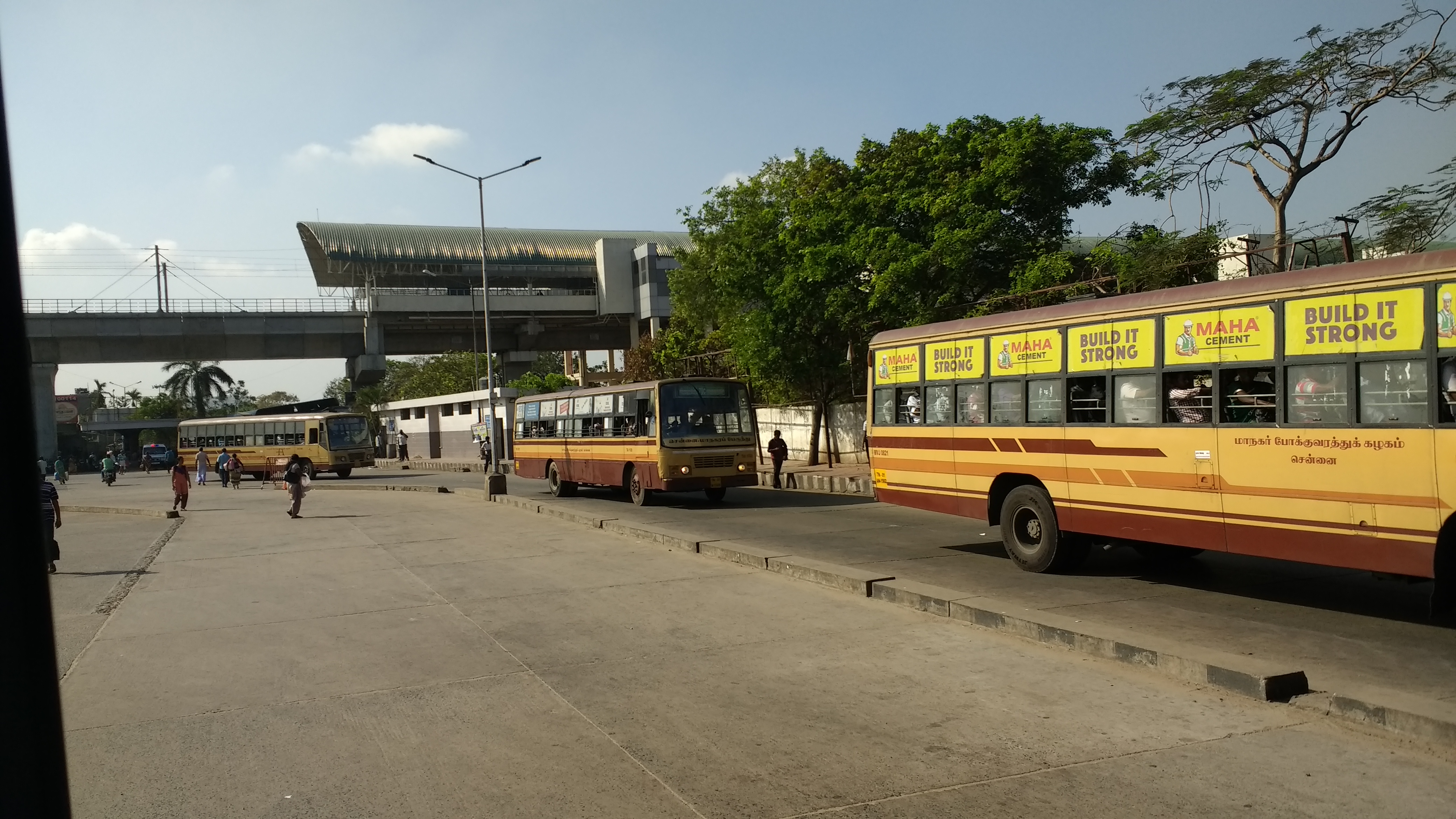
Chennai Mofussil Bus Terminus (CMBT) (officially Puratchi Thalaivar Dr. M.G.R. Bus Terminus) is a bus terminus located in Chennai, India, providing inter-state bus transport services. It is located on the inner-ring road (Jawaharlal Nehru Road) in Koyambedu between SAF Games Village and the Koyambedu Vegetable Market. It is the largest bus terminus in India as well as Asia. Chennai Metro Rail operates a coach depot behind the bus terminus since 2015. History The bus terminus originally functioned at the Broadway terminus near Madras High Court in George Town, in an area covering about . With the growing population and transportation demand, a new terminus was planned at Koyambedu. The terminus was planned and construction started on 6 June 1999 by M. Karunanidhi during DMK government at a cost of 103 crores and inaugurated on 18 November 2002 by J. Jayalalithaa during AIADMK government. On 9 October 2018, It has been renamed by Government of Tamil Nadu as ''P ... [...More Info...] [...Related Items...] OR: [Wikipedia] [Google] [Baidu] |
Broadway, Chennai
Broadway (officially known as Prakasam Salai, after the freedom fighter T. Prakasam) is one of the historical thoroughfares of the commercial centre of George Town in Chennai, India. The road runs north–south connecting China Bazaar Road in the south with Ibrahim Sahib Street ( Old Jail Road) in the north. The road divides George Town into Muthialpet and Peddanaickenpet. History Up until the 16th century, the road and the surrounding region, being near the coast, had many sand ridges. As the sea level rose, it inundated these regions, where several lagoons and ridges were left behind when the sea withdrew. The sandy ridges remained places of safety, where settlements were established. Several valleys ran around the ridges, which rose up to about 12 feet in height. Some of these valleys served as drainage channels. Until the late 18th century, the area on which the present day's road lies remained one such unwanted drainage channel, known then as Atta Pallam. Much of t ... [...More Info...] [...Related Items...] OR: [Wikipedia] [Google] [Baidu] |
Thiruvanmiyur
Thiruvanmiyur is a largely residential neighborhood in the south of Chennai, Tamil Nadu, India. Thiruvanmiyur witnessed a spike in its economy with the construction of Chennai's first dedicated technology office space, the Tidel Information Technology Park in neighboring Taramani. The subsequent rise of several information technology businesses, research centres and offices around Tidel park proved fortuitous for Thiruvanmiyur, as many of the workers at these offices often made Thiruvanmiyur their home. The Marundeeswarar Temple, dedicated to Shiva previously defined the area, leading it to be mentioned in Sangam Tamil epics. It is also commonly referred to as the MICO layout of Chennai city. Other Famous Temples are Ashtalakshmi Temple and Aarupadai Murugan Temple. Etymology *This name is likely to be derived from Thiru-aamai-yur. A 895 AD relic of Nrupatunga Varman found in Ambur has an inscription about 'Aamiyur' situated in mel-adayaru of Paduvurkottam. The name literally ... [...More Info...] [...Related Items...] OR: [Wikipedia] [Google] [Baidu] |
Chennai Mass Rapid Transit System
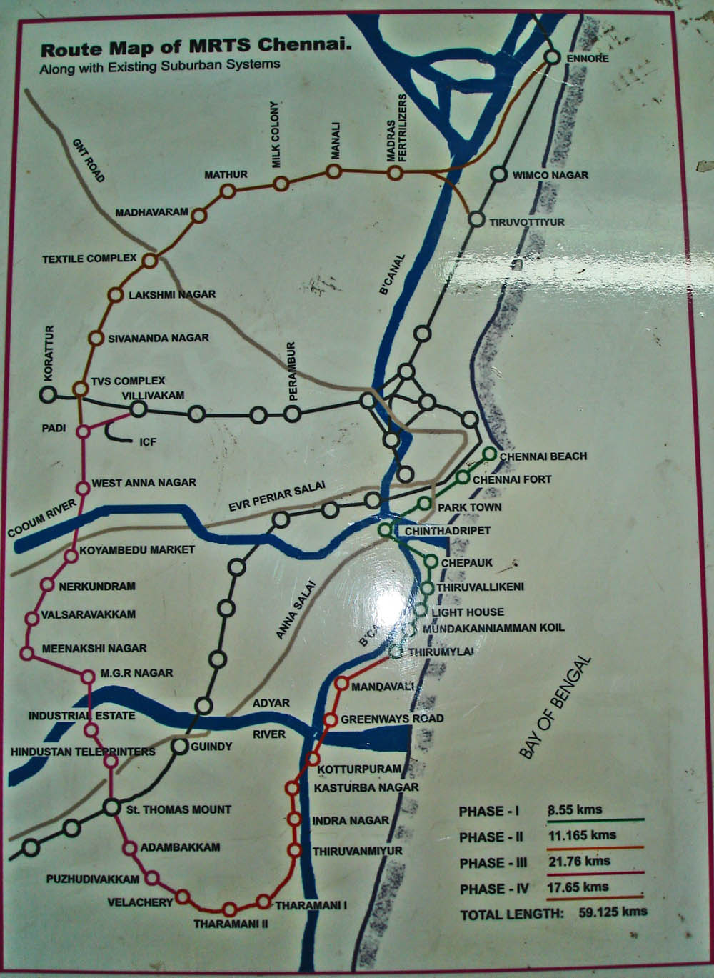
The Chennai Mass Rapid Transit System, a state-owned subsidiary of Indian Railways, is a metropolitan elevated railway line in Chennai, India. Operated by the Southern Railways, it is the first elevated railway line in India and also the country's longest elevated corridor spanning 17 km. Although it is segregated from the Chennai Suburban Railway, they both are operated by Southern Railway and are integrated in a wider urban rail network. Built at a cost of 15,710 million, the line runs within the city limits from Chennai Beach to Velachery, covering a distance of with 18 stations, with an average daily ridership of 100,000 commuters. Connecting the central business area of old Madras with the IT corridor, the section has a potential capacity of 425,000 passengers a day. In 2011–2012, MRTS registered a revenue of 198.9 million, registering a 16.25 percent increase, with 134 trains plying across all the 17 stations. The MRTS is planned to be taken over by the Chennai ... [...More Info...] [...Related Items...] OR: [Wikipedia] [Google] [Baidu] |


