|
Katherine Stewart Forbes (1818 Ship)
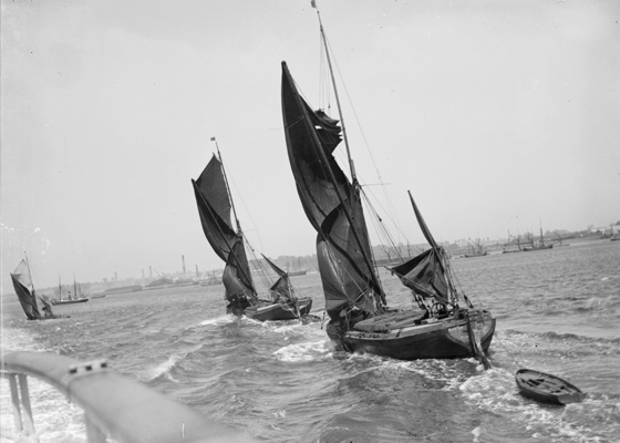
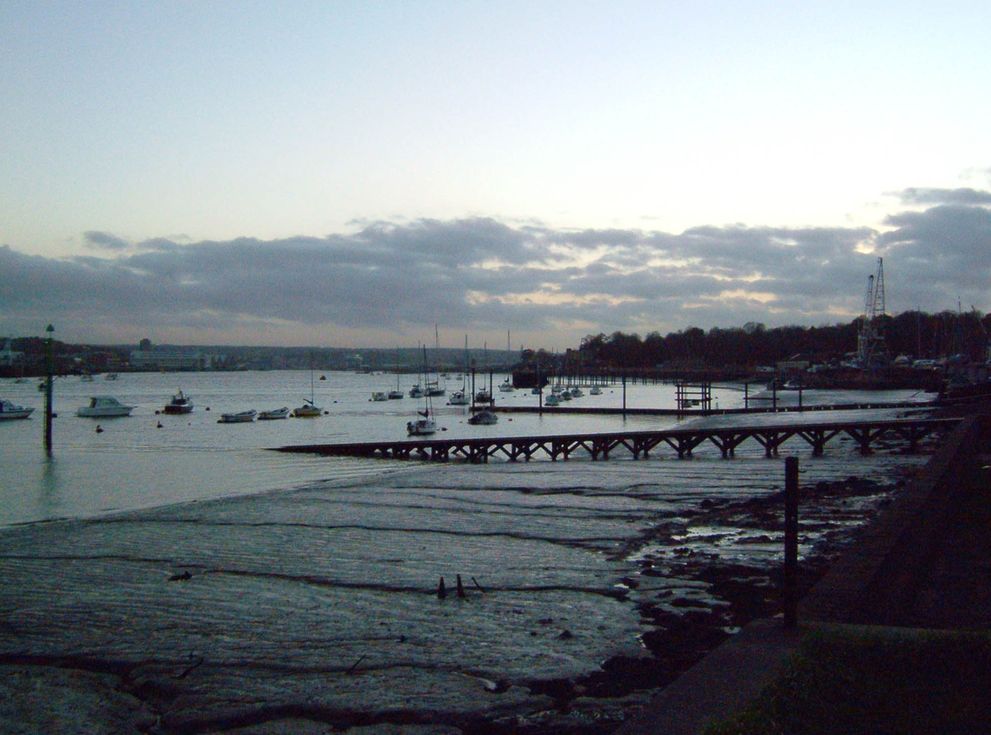
''Katherine Stewart Forbes'' was a full-rigged ship built by William & Henry Pitcher at Northfleet dockyard in Kent, England in 1818. She was classified as "A1", a first class vessel made from first quality materials. The ship was launched for A. Chapman and Company and named by Katherine Stewart, the daughter of Charles Forbes MP in 1818, on 31 October or 5 November. She was re-rigged as a barque about 1836. She initially sailed between Britain and India under a license from the British East India Company (EIC). She next transported convicts to Australia in 1830 and 1832. She also carried early settlers to South Australia in 1837, and New Zealand in 1841 and 1851, and mapped part of the coast of Borneo. She made several trips from England to Australia and between Australian settlements. She also was variously employed in the seagoing transport trade. Early career In 1813 the EIC lost its monopoly on the trade between India and Britain. British ships were then free to sai ... [...More Info...] [...Related Items...] OR: [Wikipedia] [Google] [Baidu] |
Northfleet
Northfleet is a town in the borough of Gravesham in Kent, England. It is located immediately west of Gravesend, and on the border with the Borough of Dartford. Northfleet has its own railway station on the North Kent Line, just east of Ebbsfleet International railway station on the High Speed 1 line. The area Northfleet's name is derived from being situated on the northern reach of what was once called the River Fleet (today known as the Ebbsfleet River). There is a village at the other end of the river named Southfleet. It has been the site of a settlement on the shore of the River Thames adjacent to Gravesend since Roman times. It was known as ''Fleote'' by the Saxons c. 600 AD, ''Flyote'' c. 900 AD, and ''Flete'' c. 1000 AD. It was recorded as ''Norfluet'' in the Domesday Book, and ''Northflet'' in 1201. By 1610 the name of Northfleet had become established. A battle took place during the Civil War at the Stonebridge over the Ebbsfleet river. Northfleet became a town in 187 ... [...More Info...] [...Related Items...] OR: [Wikipedia] [Google] [Baidu] |
Mumbai
Mumbai (, ; also known as Bombay — the official name until 1995) is the capital city of the Indian state of Maharashtra and the ''de facto'' financial centre of India. According to the United Nations, as of 2018, Mumbai is the second-most populous city in India after Delhi and the eighth-most populous city in the world with a population of roughly 20 million (2 crore). As per the Indian government population census of 2011, Mumbai was the most populous city in India with an estimated city proper population of 12.5 million (1.25 crore) living under the Brihanmumbai Municipal Corporation. Mumbai is the centre of the Mumbai Metropolitan Region, the sixth most populous metropolitan area in the world with a population of over 23 million (2.3 crore). Mumbai lies on the Konkan coast on the west coast of India and has a deep natural harbour. In 2008, Mumbai was named an alpha world city. It has the highest number of millionaires and billionaires among all cities i ... [...More Info...] [...Related Items...] OR: [Wikipedia] [Google] [Baidu] |
Launceston, Tasmania
Launceston () or () is a city in the north of Tasmania, Australia, at the confluence of the North Esk and South Esk rivers where they become the Tamar River (kanamaluka). As of 2021, Launceston has a population of 87,645. Material was copied from this source, which is available under Creative Commons Attribution 4.0 International License/ref> Launceston is the second most populous city in Tasmania after the state capital, Hobart. As of 2020, Launceston is the 18th largest city in Australia. Launceston is fourth-largest inland city and the ninth-largest non-capital city in Australia. Launceston is regarded as the most liveable regional city, and was one of the most popular regional cities to move to in Australia from 2020 to 2021. Launceston was named Australian Town of the Year in 2022. Settled by Europeans in March 1806, Launceston is one of Australia's oldest cities and it has many historic buildings. Like many places in Australia, it was named after a town in the United Ki ... [...More Info...] [...Related Items...] OR: [Wikipedia] [Google] [Baidu] |
State Library Of South Australia
The State Library of South Australia, or SLSA, formerly known as the Public Library of South Australia, located on North Terrace, Adelaide, is the official library of the Australian state of South Australia. It is the largest public research library in the state, with a collection focus on South Australian information, being the repository of all printed and audiovisual material published in the state, as required by legal deposit legislation. It holds the "South Australiana" collection, which documents South Australia from pre-European settlement to the present day, as well as general reference material in a wide range of formats, including digital, film, sound and video recordings, photographs, and microfiche. Home access to many journals, newspapers and other resources online is available. History and governance 19th century On 29 August 1834, a couple of weeks after the passing of the ''South Australia Act 1834'', a group led by the Colonial Secretary, Robert Gouger, and ... [...More Info...] [...Related Items...] OR: [Wikipedia] [Google] [Baidu] |
Adelaide
Adelaide ( ) is the capital city of South Australia, the state's largest city and the fifth-most populous city in Australia. "Adelaide" may refer to either Greater Adelaide (including the Adelaide Hills) or the Adelaide city centre. The demonym ''Adelaidean'' is used to denote the city and the residents of Adelaide. The Traditional Owners of the Adelaide region are the Kaurna people. The area of the city centre and surrounding parklands is called ' in the Kaurna language. Adelaide is situated on the Adelaide Plains north of the Fleurieu Peninsula, between the Gulf St Vincent in the west and the Mount Lofty Ranges in the east. Its metropolitan area extends from the coast to the foothills of the Mount Lofty Ranges, and stretches from Gawler in the north to Sellicks Beach in the south. Named in honour of Queen Adelaide, the city was founded in 1836 as the planned capital for the only freely-settled British province in Australia. Colonel William Light, one of Adelaide's foun ... [...More Info...] [...Related Items...] OR: [Wikipedia] [Google] [Baidu] |
King William IV
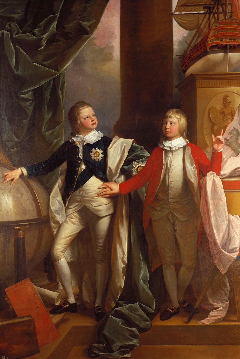
William IV (William Henry; 21 August 1765 – 20 June 1837) was King of the United Kingdom of Great Britain and Ireland and King of Hanover from 26 June 1830 until his death in 1837. The third son of George III, William succeeded his elder brother George IV, becoming the last king and penultimate monarch of Britain's House of Hanover. William served in the Royal Navy in his youth, spending time in North America and the Caribbean, and was later nicknamed the "Sailor King". In 1789, he was created Duke of Clarence and St Andrews. In 1827, he was appointed Britain's first Lord High Admiral since 1709. As his two elder brothers died without leaving legitimate issue, he inherited the throne when he was 64 years old. His reign saw several reforms: the Poor Law was updated, child labour restricted, slavery abolished in nearly all of the British Empire, and the electoral system refashioned by the Reform Acts of 1832. Although William did not engage in politics as m ... [...More Info...] [...Related Items...] OR: [Wikipedia] [Google] [Baidu] |
Gravesend, Kent
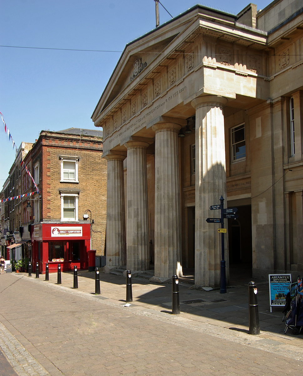
Gravesend is a town in northwest Kent, England, situated 21 miles (35 km) east-southeast of Charing Cross (central London) on the south bank of the River Thames and opposite Tilbury in Essex. Located in the diocese of Rochester, it is the administrative centre of the Borough of Gravesham. Its geographical situation has given Gravesend strategic importance throughout the maritime and communications history of South East England. A Thames Gateway commuter town, it retains strong links with the River Thames, not least through the Port of London Authority Pilot Station and has witnessed rejuvenation since the advent of High Speed 1 rail services via Gravesend railway station. The station was recently refurbished and now has a new bridge. Toponymy Recorded as Gravesham in the Domesday Book of 1086 when it belonged to Odo, Earl of Kent and Bishop of Bayeux, the half-brother of William the Conqueror, its name probably derives from ''graaf-ham'': the home of the reeve or ... [...More Info...] [...Related Items...] OR: [Wikipedia] [Google] [Baidu] |
Jersey
Jersey ( , ; nrf, Jèrri, label=Jèrriais ), officially the Bailiwick of Jersey (french: Bailliage de Jersey, links=no; Jèrriais: ), is an island country and self-governing Crown Dependencies, Crown Dependency near the coast of north-west France. It is the largest of the Channel Islands and is from the Cotentin Peninsula in Normandy. The Bailiwick consists of the main island of Jersey and some surrounding uninhabited islands and rocks including Les Dirouilles, Écréhous, Les Écréhous, Minquiers, Les Minquiers, and Pierres de Lecq, Les Pierres de Lecq. Jersey was part of the Duchy of Normandy, whose dukes became kings of England from 1066. After Normandy was lost by the kings of England in the 13th century, and the ducal title surrendered to France, Jersey remained loyal to the The Crown, English Crown, though it never became part of the Kingdom of England. Jersey is a self-governing Parliamentary system, parliamentary democracy under a constitutional monarchy, with its ... [...More Info...] [...Related Items...] OR: [Wikipedia] [Google] [Baidu] |
Van Dieman's Land
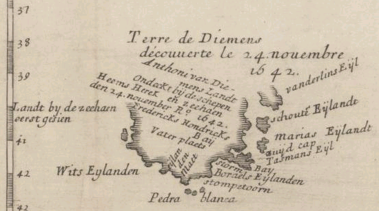
Van Diemen's Land was the colonial name of the island of Tasmania used by the British during the European exploration of Australia in the 19th century. A British settlement was established in Van Diemen's Land in 1803 before it became a separate colony in 1825. Its penal colonies became notorious destinations for the transportation of convicts due to the harsh environment, isolation and reputation for being inescapable. Macquarie Harbour and Port Arthur are among the most well-known penal settlements on the island. With the passing of the Australian Constitutions Act 1850, Van Diemen's Land (along with New South Wales, Queensland, South Australia, Victoria, and Western Australia) was granted responsible self-government with its own elected representative and parliament. On 1 January 1856, the colony of Van Diemen's Land was officially changed to Tasmania. The last penal settlement was closed in Tasmania in 1877. Toponym The island was named in honour of Anthony van Die ... [...More Info...] [...Related Items...] OR: [Wikipedia] [Google] [Baidu] |
Stangate Creek
The River Medway is a river in South East England. It rises in the High Weald, East Sussex and flows through Tonbridge, Maidstone and the Medway conurbation in Kent, before emptying into the Thames Estuary near Sheerness, a total distance of . About of the river lies in East Sussex, with the remainder being in Kent. It has a catchment area of , the second largest in southern England after the Thames. The map opposite shows only the major tributaries: a more detailed map shows the extensive network of smaller streams feeding into the main river. Those tributaries rise from points along the North Downs, the Weald and Ashdown Forest. Tributaries The major tributaries are: * River Eden * River Bourne, known in the past as the Shode or Busty * River Teise, major sub-tributary River Bewl * River Beult * Loose Stream * River Len Minor tributaries include: * Wateringbury Stream * East Malling Stream *River Grom Former minor tributaries include the Old Bourne River, which flo ... [...More Info...] [...Related Items...] OR: [Wikipedia] [Google] [Baidu] |
Thames Estuary
The Thames Estuary is where the River Thames meets the waters of the North Sea, in the south-east of Great Britain. Limits An estuary can be defined according to different criteria (e.g. tidal, geographical, navigational or in terms of salinity). For this reason the limits of the Thames Estuary have been defined differently at different times and for different purposes. Western This limit of the estuary has been defined in two main ways: * The narrow estuary is strongly tidal and is known as the Tideway. It starts in south-west London at Teddington Lock and weir, Teddington/Ham. This point is also mid-way between Richmond Lock which only keeps back a few miles of man-made head (stasis) of water during low tide and the extreme modern-era head at Thames Ditton Island on Kingston reach where slack water occurs at maximal high tide in times of rainfall-caused flooded banks. In terms of salinity the transition from freshwater to estuarine occurs around Battersea; east of the Th ... [...More Info...] [...Related Items...] OR: [Wikipedia] [Google] [Baidu] |
Plymouth Sound
Plymouth Sound, or locally just The Sound, is a deep inlet or sound in the English Channel near Plymouth in England. Description Its southwest and southeast corners are Penlee Point in Cornwall and Wembury Point in Devon, a distance of about 3 nautical miles (6 km). Its northern limit is Plymouth Hoe giving a north–south distance of nearly 3 nautical miles (6 km). The Sound has three water entrances. The marine entrance is from the English Channel to the south, with a deep-water channel to the west of the Plymouth Breakwater. There are two freshwater inlets: one, from the northwest, is from the River Tamar via the Hamoaze and Devonport Dockyard, the largest naval dockyard in western Europe. The other, at northeast, is from the River Plym disgorging into its narrow estuary, Cattewater harbour between Mount Batten and the Royal Citadel. In the centre of the Sound, midway between Bovisand Bay and Cawsand Bay, is Plymouth Breakwater, which creates a harbour prot ... [...More Info...] [...Related Items...] OR: [Wikipedia] [Google] [Baidu] |
