|
Kurchatov, Kazakhstan
Kurchatov (in Kazakh and Russian: Курча́тов) is a town in East Kazakhstan Region in north-east Kazakhstan. Named after Soviet nuclear physicist Igor Kurchatov, the town was once the centre of operations for the adjoining Semipalatinsk Test Site. With the cessation of nuclear testing and the decommissioning of the test site, Kurchatov's population has fallen from over 20,000 to around 8,000. In its heyday Kurchatov (which was known by its postal code Semipalatinsk-21) was a closed city, one of the most secretive and restricted places in the Soviet Union. The nuclear facilities at Kurchatov are managed by the Kazakhstan Institute of Atomic Energy, a division of the country's National Nuclear Center. Geography Kurchatov is located on the south bank of the Irtysh River, which crosses into Kazakhstan from the autonomous region of Xinjiang in China approximately to the southeast. Infrastructure A railway connects Kurchatov to Pavlodar and Astana to the west and to Semey ... [...More Info...] [...Related Items...] OR: [Wikipedia] [Google] [Baidu] |
Soviet Union
The Soviet Union,. officially the Union of Soviet Socialist Republics. (USSR),. was a transcontinental country that spanned much of Eurasia from 1922 to 1991. A flagship communist state, it was nominally a federal union of fifteen national republics; in practice, both its government and its economy were highly centralized until its final years. It was a one-party state governed by the Communist Party of the Soviet Union, with the city of Moscow serving as its capital as well as that of its largest and most populous republic: the Russian SFSR. Other major cities included Leningrad (Russian SFSR), Kiev (Ukrainian SSR), Minsk ( Byelorussian SSR), Tashkent (Uzbek SSR), Alma-Ata (Kazakh SSR), and Novosibirsk (Russian SFSR). It was the largest country in the world, covering over and spanning eleven time zones. The country's roots lay in the October Revolution of 1917, when the Bolsheviks, under the leadership of Vladimir Lenin, overthrew the Russian Provisional Government ... [...More Info...] [...Related Items...] OR: [Wikipedia] [Google] [Baidu] |
IAEA
The International Atomic Energy Agency (IAEA) is an intergovernmental organization that seeks to promote the peaceful use of nuclear energy and to inhibit its use for any military purpose, including nuclear weapons. It was established in 1957 as an autonomous organization within the United Nations system; though governed by its own founding treaty, the organization reports to both the General Assembly and the Security Council of the United Nations, and is headquartered at the UN Office at Vienna, Austria. The IAEA was created in response to growing international concern toward nuclear weapons, especially amid rising tensions between the foremost nuclear powers, the United States and the Soviet Union. U.S. President Dwight D. Eisenhower's " Atoms for Peace" speech, which called for the creation of an international organization to monitor the global proliferation of nuclear resources and technology, is credited with catalyzing the formation of the IAEA, whose treaty came into ... [...More Info...] [...Related Items...] OR: [Wikipedia] [Google] [Baidu] |
Semey
Semey ( kk, Семей, Semei, سەمەي; cyrl, Семей ), until 2007 known as Semipalatinsk (russian: Семипала́тинск) and in 1917–1920 as Alash-kala ( kk, Алаш-қала, ''Alaş-qala''), is a city in eastern Kazakhstan, in the Kazakh part of Siberia. When Abai Region was created in 2022, Semey became its administrative centre. It lies along the Irtysh River near the border with Russia, north of Almaty and southeast of the Russian city of Omsk. Its population is History The first Russian settlement in the area dates from 1718, when Russia built a fort beside the river Irtysh, near the ruins of an ancient Buddhist monastery, where seven buildings could be seen. The fort (and later the city) was named ''Semipalatinsk'' (Russian for "Seven-Chambered City") after the monastery. The fort suffered frequently from flooding caused by snowmelt swelling the Irtysh. In 1778 the fort was relocated upstream to less flood-prone ground. A small city developed ... [...More Info...] [...Related Items...] OR: [Wikipedia] [Google] [Baidu] |
Astana
Astana, previously known as Akmolinsk, Tselinograd, Akmola, and most recently Nur-Sultan, is the capital city of Kazakhstan. The city lies on the banks of the Ishim (river), Ishim River in the north-central part of Kazakhstan, within the Akmola Region, though administered as a city with special status separately from the rest of the region. A 2020 official estimate reported a population of 1,136,008 within the city limits, making it the List of most populous cities in Kazakhstan, second-largest city in the country, after Almaty, which had been the capital until 1997. The city became the capital of Kazakhstan in 1997; since then it has grown and developed economically into one of the most modern cities in Central Asia. In 2021, the government selected Astana as one of the 10 priority destinations for tourist development. Modern Astana is a Planned community, planned city, following the process of List of purpose-built national capitals, other planned capitals. After it became t ... [...More Info...] [...Related Items...] OR: [Wikipedia] [Google] [Baidu] |
Railway
Rail transport (also known as train transport) is a means of transport that transfers passengers and goods on wheeled vehicles running on rails, which are incorporated in tracks. In contrast to road transport, where the vehicles run on a prepared flat surface, rail vehicles (rolling stock) are directionally guided by the tracks on which they run. Tracks usually consist of steel rails, installed on sleepers (ties) set in ballast, on which the rolling stock, usually fitted with metal wheels, moves. Other variations are also possible, such as "slab track", in which the rails are fastened to a concrete foundation resting on a prepared subsurface. Rolling stock in a rail transport system generally encounters lower frictional resistance than rubber-tyred road vehicles, so passenger and freight cars (carriages and wagons) can be coupled into longer trains. The operation is carried out by a railway company, providing transport between train stations or freight customer facilit ... [...More Info...] [...Related Items...] OR: [Wikipedia] [Google] [Baidu] |
Xinjiang
Xinjiang, SASM/GNC: ''Xinjang''; zh, c=, p=Xīnjiāng; formerly romanized as Sinkiang (, ), officially the Xinjiang Uygur Autonomous Region (XUAR), is an autonomous region of the People's Republic of China (PRC), located in the northwest of the country at the crossroads of Central Asia and East Asia. Being the largest province-level division of China by area and the 8th-largest country subdivision in the world, Xinjiang spans over and has about 25 million inhabitants. Xinjiang borders the countries of Mongolia, Russia, Kazakhstan, Kyrgyzstan, Tajikistan, Afghanistan, Pakistan and India. The rugged Karakoram, Kunlun and Tian Shan mountain ranges occupy much of Xinjiang's borders, as well as its western and southern regions. The Aksai Chin and Trans-Karakoram Tract regions, both administered by China, are claimed by India. Xinjiang also borders the Tibet Autonomous Region and the provinces of Gansu and Qinghai. The most well-known route of the historic Silk Ro ... [...More Info...] [...Related Items...] OR: [Wikipedia] [Google] [Baidu] |
Irtysh River
The Irtysh ( otk, 𐰼𐱅𐰾:𐰇𐰏𐰕𐰏, Ertis ügüzüg, mn, Эрчис мөрөн, ''Erchis mörön'', "erchleh", "twirl"; russian: Иртыш; kk, Ертіс, Ertis, ; Chinese: 额尔齐斯河, pinyin: ''É'ěrqísī hé'', Xiao'erjing: عَعَرٿِسِ حْ; ug, إيرتيش, Әртиш, ''Ertish''; tt-Cyrl, Иртеш, , , Siberian Tatar: Эйәртеш, ''Eya’rtes’'') is a river in Russia, China, and Kazakhstan. It is the chief tributary of the Ob and is also the second longest tributary river in the world after Paraná River. The river's source lies in the Mongolian Altai in Dzungaria (the northern part of Xinjiang, China) close to the border with Mongolia. The Irtysh's main tributaries include the Tobol, Demyanka and the Ishim. The Ob-Irtysh system forms a major drainage basin in Asia, encompassing most of Western Siberia and the Altai Mountains. Geography From its origins as the ''Kara-Irtysh'' (Vast Irtysh, kara means Vast in Turkic languag ... [...More Info...] [...Related Items...] OR: [Wikipedia] [Google] [Baidu] |
Closed City
A closed city or closed town is a settlement where travel or residency restrictions are applied so that specific authorization is required to visit or remain overnight. Such places may be sensitive military establishments or secret research installations that require much more space or internal freedom than is available in a conventional military base. There may also be a wider variety of permanent residents, including close family members of workers or trusted traders who are not directly connected with clandestine purposes. Many closed cities existed in the Soviet Union from the mid 1940s until its dissolution in 1991. After 1991, a number of them still existed in the CIS countries, especially in Russia. In modern Russia, such places are officially known as "closed administrative-territorial formations" (, ''zakrytye administrativno-territorial'nye obrazovaniya'', or ''ZATO'' for short). Structure and operations Sometimes closed cities may only be represented on classifi ... [...More Info...] [...Related Items...] OR: [Wikipedia] [Google] [Baidu] |
RIAN Archive 440214 A Monument To Kurchatov On The Background Of The Semipalatinsk Nuclear Test Site's Central Staff
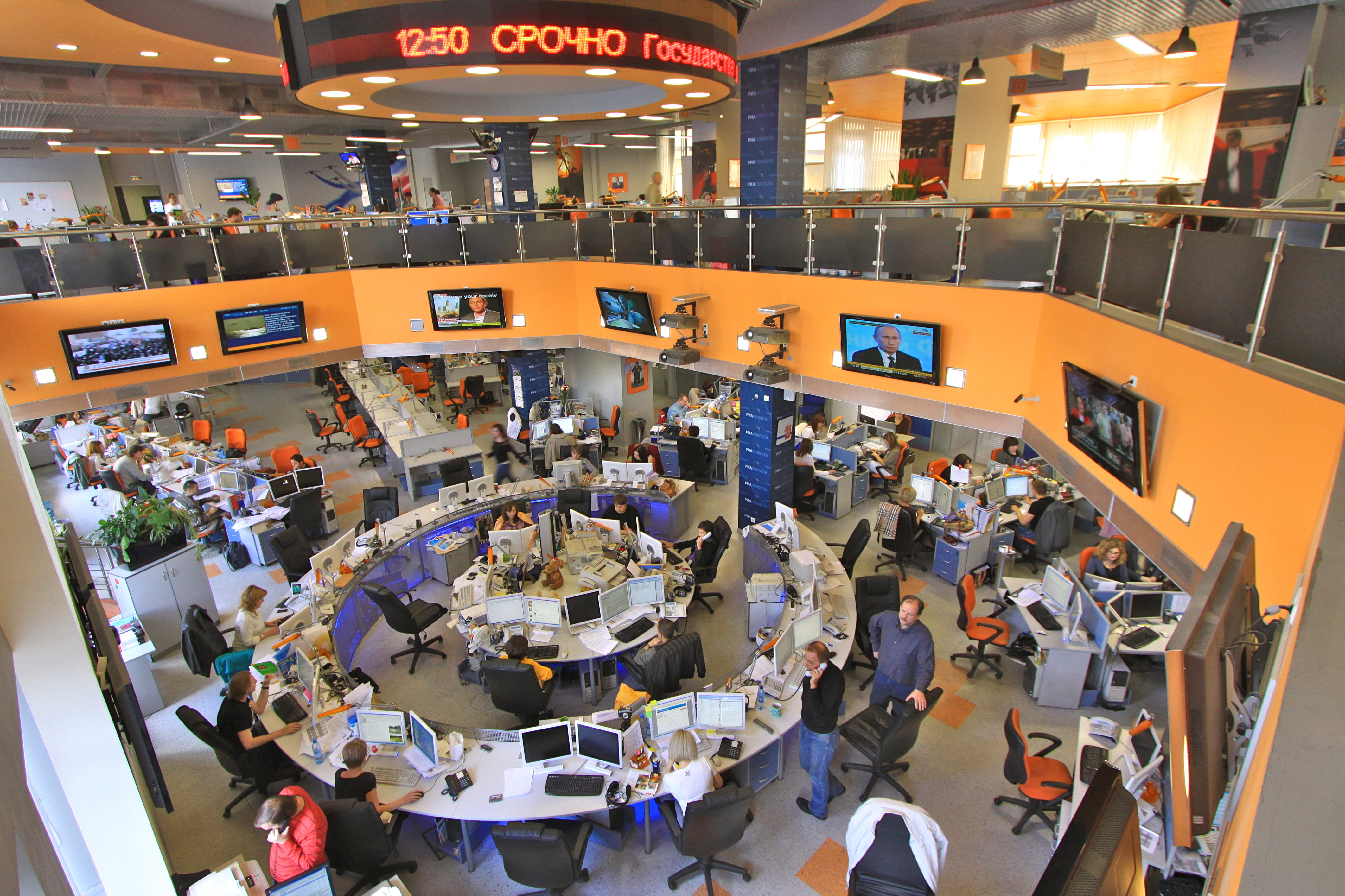
RIA Novosti (russian: РИА Новости), sometimes referred to as RIAN () or RIA (russian: РИА, label=none) is a Russian state-owned domestic news agency. On 9 December 2013 by a decree of Vladimir Putin it was liquidated and its assets and workforce were transferred to the newly created Rossiya Segodnya agency. On 8 April 2014 RIA Novosti was registered as part of the new agency. RIA Novosti is headquartered in Moscow. The chief editor is Anna Gavrilova. Content RIA Novosti was scheduled to be closed down in 2014; starting in March 2014, staff were informed that they had the option of transferring their contracts to Rossiya Segodnya or sign a redundancy contract. On 10 November 2014, Rossiya Segodnya launched the Sputnik multimedia platform as the international replacement of RIA Novosti and Voice of Russia. Within Russia itself, however, Rossiya Segodnya continues to operate its Russian language news service under the name RIA Novosti with its ria.ru website. The ... [...More Info...] [...Related Items...] OR: [Wikipedia] [Google] [Baidu] |
Nuclear Testing
Nuclear weapons tests are experiments carried out to determine nuclear weapons' effectiveness, yield, and explosive capability. Testing nuclear weapons offers practical information about how the weapons function, how detonations are affected by different conditions, and how personnel, structures, and equipment are affected when subjected to nuclear explosions. However, nuclear testing has often been used as an indicator of scientific and military strength. Many tests have been overtly political in their intention; most nuclear weapons states publicly declared their nuclear status through a nuclear test. The first nuclear device was detonated as a test by the United States at the Trinity site in New Mexico on July 16, 1945, with a yield approximately equivalent to 20 kilotons of TNT. The first thermonuclear weapon technology test of an engineered device, codenamed "Ivy Mike", was tested at the Enewetak Atoll in the Marshall Islands on November 1, 1952 (local date), also by the U ... [...More Info...] [...Related Items...] OR: [Wikipedia] [Google] [Baidu] |
Semipalatinsk Test Site
The Semipalatinsk Test Site (Russian language, Russian: Семипалатинск-21; Semipalatinsk-21), also known as "The Polygon", was the primary testing venue for the Soviet Union's nuclear weapons. It is located on the steppe in northeast Kazakhstan (then the former Kazakh Soviet Socialist Republic, Kazakh SSR), south of the valley of the Irtysh River. The scientific buildings for the test site were located around west of the town of Semey, Semipalatinsk (later renamed Semey), near the border of East Kazakhstan Region and Pavlodar Region with most of the nuclear tests taking place at various sites further to the west and south, some as far as into Karagandy Region. The former Soviet Union conducted 456 nuclear tests at Semipalatinsk from 1949 until 1989 with little regard for their effect on the local people or environment. The full impact of radiation exposure was hidden for many years by Soviet authorities and has only come to light since the test site closed in 1991. Ac ... [...More Info...] [...Related Items...] OR: [Wikipedia] [Google] [Baidu] |


%2C_satellite_image_2017-07-24.jpg)


