|
Kulusuk Island
Kulusuk Island ( kl, Kulusup qeqertaa) is an island in the Sermersooq municipality on the southeastern shore of Greenland.Tasiilaq, Saga Map, Tage Schjøtt, 1992 It is an outlying island in the Ammassalik archipelago of islands on the coast of the North Atlantic. The island is home to Kulusuk, the fourth-largest settlement on the entire eastern coast of Greenland. The island has an area of 41.98 km2, and measures from north to south and from west to east. The on the island is one of the two airports on the entire eastern Greenland coast. History Among the archaeological ruins on Kulusuk the ancient settlement of Ikaasap Ittiva (Ikâsap Igtiva) is located near the shor ...[...More Info...] [...Related Items...] OR: [Wikipedia] [Google] [Baidu] |
North Atlantic
The Atlantic Ocean is the second-largest of the world's five oceans, with an area of about . It covers approximately 20% of Earth's surface and about 29% of its water surface area. It is known to separate the "Old World" of Africa, Europe and Asia from the "New World" of the Americas in the European perception of the World. The Atlantic Ocean occupies an elongated, S-shaped basin extending longitudinally between Europe and Africa to the east, and North and South America to the west. As one component of the interconnected World Ocean, it is connected in the north to the Arctic Ocean, to the Pacific Ocean in the southwest, the Indian Ocean in the southeast, and the Southern Ocean in the south (other definitions describe the Atlantic as extending southward to Antarctica). The Atlantic Ocean is divided in two parts, by the Equatorial Counter Current, with the North(ern) Atlantic Ocean and the South(ern) Atlantic Ocean split at about 8°N. Scientific explorations of the Atlantic ... [...More Info...] [...Related Items...] OR: [Wikipedia] [Google] [Baidu] |
Ammassalik Fjord
Ammassalik Fjord (old spelling: ''Angmagssalik Fjord'') is a long fjord in the Sermersooq municipality in southeastern Greenland. Geography The head of the fjord at is formed by the confluence of two narrow, tributary fjords: ''Qingertivaq Fjord'' and ''Tasiilaq Fjord'' (one of two fjords of that name). The fjord has a north-to-south orientation in its northern part, to then turn midway to the south-west-south at approximately . While the shores of the northern part separate peninsulas of the mainland of Greenland, the southern, progressively wider half of the fjord separates the large Ammassalik Island in the west from islands of the eponymous Ammassalik Archipelago in the east and southeast, including the largest, Apusiaajik Island.''Tasiilaq'', Saga Map, Tage Schjøtt, 1992 The fjord is joined by narrow waterways with other waterbodies in the region: the Ikaasartivaq Strait separating Ammassalik Island from the mainland connects the fjord to the wider Sermilik Fjord in ... [...More Info...] [...Related Items...] OR: [Wikipedia] [Google] [Baidu] |
Cirque
A (; from the Latin word ') is an amphitheatre-like valley formed by glacial erosion. Alternative names for this landform are corrie (from Scottish Gaelic , meaning a pot or cauldron) and (; ). A cirque may also be a similarly shaped landform arising from fluvial erosion. The concave shape of a glacial cirque is open on the downhill side, while the cupped section is generally steep. Cliff-like slopes, down which ice and glaciated debris combine and converge, form the three or more higher sides. The floor of the cirque ends up bowl-shaped, as it is the complex convergence zone of combining ice flows from multiple directions and their accompanying rock burdens. Hence, it experiences somewhat greater erosion forces and is most often overdeepened below the level of the cirque's low-side outlet (stage) and its down-slope (backstage) valley. If the cirque is subject to seasonal melting, the floor of the cirque most often forms a tarn (small lake) behind a dam, which marks the down ... [...More Info...] [...Related Items...] OR: [Wikipedia] [Google] [Baidu] |
Qalorujoorneq
Qalorngoorneq is a small mountain range in the eastern part of Kulusuk Island in Sermersooq Municipality, southeastern Greenland. At its highest point is the highest mountain on the island. Geography Qalorngoorneq is located in the eastern part of , to the southeast of the .Walls To the northeast and to the east, Qalorngoorneq walls fall directly into the |
Skerry
A skerry is a small rocky island, or islet, usually too small for human habitation. It may simply be a rocky reef. A skerry can also be called a low sea stack. A skerry may have vegetative life such as moss and small, hardy grasses. They are often used as resting places by animals such as seals and birds. Etymology The term ''skerry'' is derived from the Old Norse ', which means a rock in the sea (which in turn derives from the Proto-Indo-European root *''sker''-, "cut", in the sense of a rock cut off from the land). The Old Norse term ' was brought into the English language via the Scots language word spelled or . It is a cognate of the Scandinavian languages' words for ''skerry'' – Icelandic, fo, sker, da, skær, sv, skär, no, skjær / skjer, found also in german: Schäre, fi, kari, et, skäär, lv, šēra, lt, Šcheras and russian: шхеры (). In Scottish Gaelic, it appears as ', e.g. Sula Sgeir, in Irish as '','' in Welsh as '','' and in Manx as ''.'' ... [...More Info...] [...Related Items...] OR: [Wikipedia] [Google] [Baidu] |
East Greenland Current
The East Greenland Current (EGC) is a cold, low- salinity current that extends from Fram Strait (~80N) to Cape Farewell (~60N). The current is located off the eastern coast of Greenland along the Greenland continental margin. The current cuts through the Nordic Seas (the Greenland and Norwegian Seas) and through the Denmark Strait. The current is of major importance because it directly connects the Arctic to the Northern Atlantic, it is a major contributor to sea ice export out of the Arctic, and it is a major freshwater sink for the Arctic. Water properties The EGC is composed of a mixture of three distinct water masses. The water masses are Polar Water, Atlantic Water, and Deep Water. These water masses can be clearly seen throughout the EGC's tract southward, however, the upper layer water masses do change some due to atmospheric interaction along with inflow from other water sources in the Nordic Seas. The top 150 meters of the EGC is considered polar water and it is cold and ... [...More Info...] [...Related Items...] OR: [Wikipedia] [Google] [Baidu] |
Torsuut Tunoq
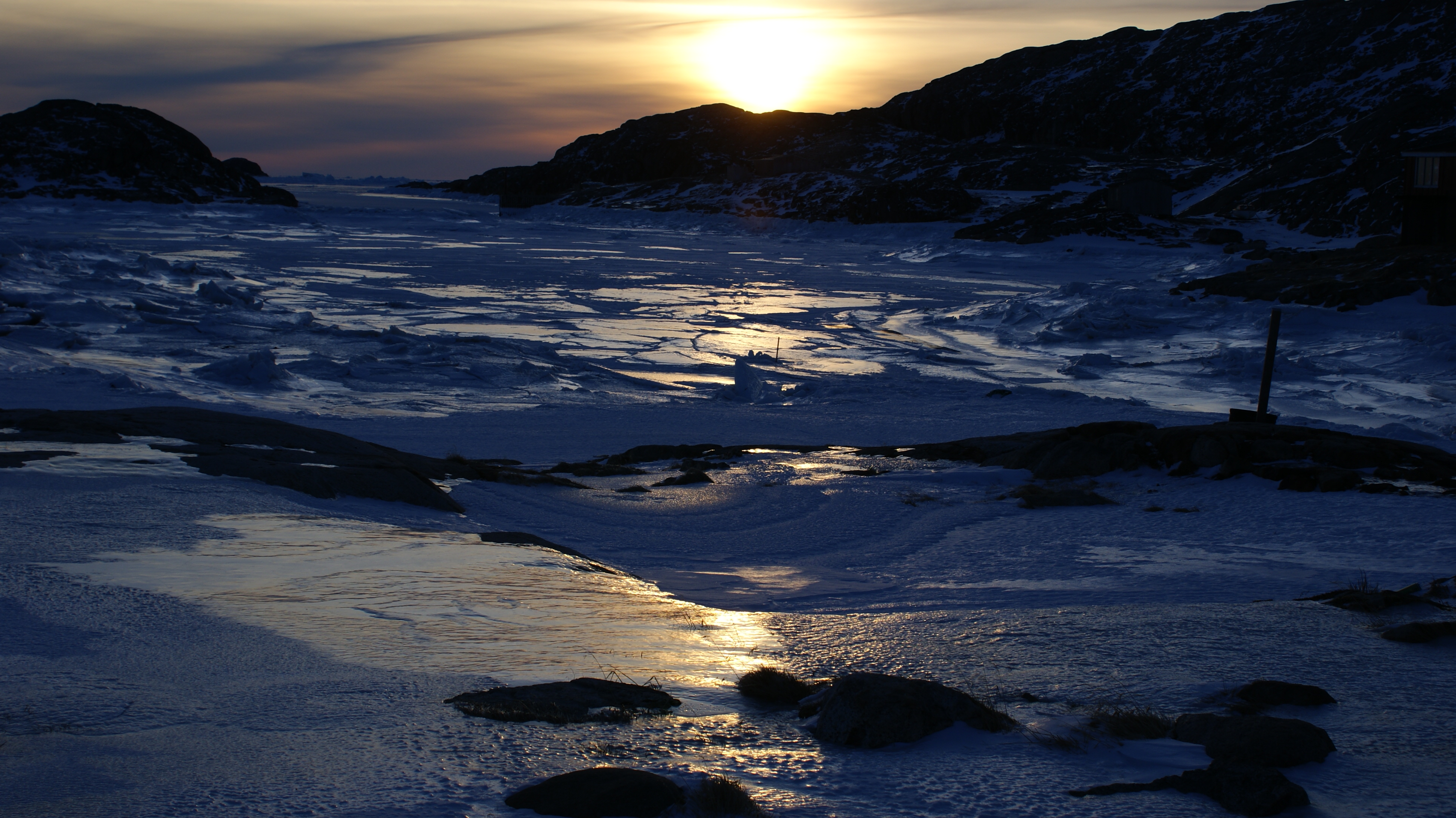
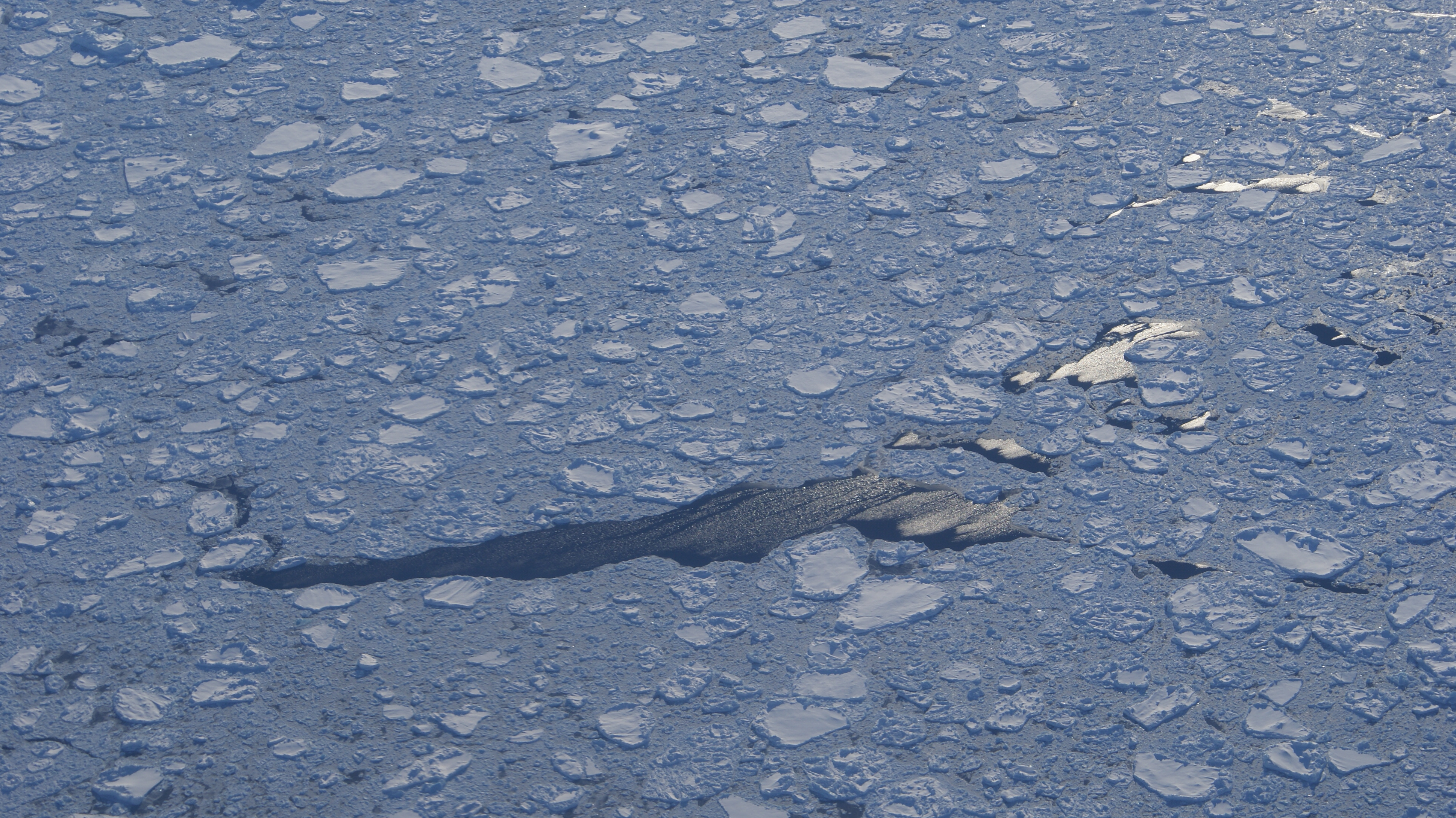
Torsuut Tunoq (old spelling: ''Torssuut Tunoq'') is a sound on the southeastern coast of Greenland. It is an inner waterway of the North Atlantic. Geography The sound separates Kulusuk Island in the south from Apusiaajik Island in the northeast, and from the small ''Akinaaq'' island and smaller skerries in the northwest. The strait waterway connects Ammassalik Fjord in the northwest with the North Atlantic in the southeast, through the Ikaasaartik Strait.Tasiilaq, Saga Map, Tage Schjøtt, 1992 During winter pack ice and small icebergs pushed forth by the East Greenland Current ram against the northeastern coast, blocking the narrow Ikaasaartik Strait and facilitating the freeze of the much wider Torsuut Tunoq sound. The tidewater Apusiaajik Glacier drains into the sound in its northernmost part. Settlement Kulusuk is the only settlement in the area, located on an island of the same name on the southern coast of the sound. Transport The inhabitants of Kulusuk use snowmo ... [...More Info...] [...Related Items...] OR: [Wikipedia] [Google] [Baidu] |
Sermersooq
Sermersooq (, da, sted med meget is, lit=place of much ice) is a municipality in Greenland, formed on 1 January 2009 from five earlier, smaller municipalities. Its administrative seat is the city of Nuuk (formerly called Godthåb), the capital of Greenland, and it is the most populous municipality in the country, with 23,123 inhabitants as of January 2020. Creation The municipality consists of former municipalities of eastern and southwestern Greenland, each named after the largest settlement at the time of formation: * Ammassalik Municipality * Ittoqqortoormiit Municipality * Ivittuut Municipality * Nuuk Municipality * Paamiut Municipality Administrative divisions Ammassalik area * Tasiilaq (Ammassalik) * Kuummiit * Kulusuk (Kap Dan) * Tiniteqilaaq * Sermiligaaq * Isortoq Ittoqqortoormiit area * Ittoqqortoormiit (Scoresbysund) * Itterajivit Ivittuut area * Kangilinnguit (Grønnedal) Nuuk area * Nuuk (Godthåb) * Kapisillit * Qeqertarsuatsiaat (Fiskenæsset) Paamiu ... [...More Info...] [...Related Items...] OR: [Wikipedia] [Google] [Baidu] |
Ikaasaartik Strait
Ikaasaartik Strait (old spelling: ''Ikâsârtik'') is a strait in the Sermersooq municipality, on the southeastern coast of Greenland. Geography The strait separates Kulusuk Island in the southwest from Apusiaajik Island in the northeast. The strait waterway connects the Torsuut Tunoq sound in the northwest with the North Atlantic in the southeast.Tasiilaq, Saga Map, Tage Schjøtt, 1992 Icelandair STOL aircraft approach Kulusuk Airport on the way from Nerlerit Inaat Airport, Nerlerit Inaat and Reykjavík Airport, Reykjavík flying directly over the southern end of Apusiaajik Island and then over the Ikaasaartik Strait, in an air canyon between the Qalorujoorneq ridge on Kulusuk Island, and the ''Kangaartik'' and ''Iperajivit'' summits on Apusiaajik Island. During winter pack ice and small icebergs pushed forth by the East Greenland Current ram against the northeastern coast, blocking the narrow strait and facilitating the freeze of the much wider Torsuut Tunoq sound. Refe ... [...More Info...] [...Related Items...] OR: [Wikipedia] [Google] [Baidu] |
Apusiaajik Island
Apusiaajik Island (old spelling: ''Apusiâjik'') is an uninhabited island in the Sermersooq municipality on the southeastern shore of Greenland.Tasiilaq, Saga Map, Tage Schjøtt, 1992 It is an outlying island in the Ammassalik archipelago of islands on the coast of the North Atlantic. Icelandair STOL aircraft approach Kulusuk Airport on the way from Nerlerit Inaat and Reykjavík flying directly over the southern end of the island. Geography Apusiaajik island is separated from the Kulusuk Island in the south by the Ikaasaartik Strait; from the small Akinaaq island and tiny skerries in the southwest by the Torsuut Tunoq sound; from Ammassalik Island in the northwest by the Ammassalik Fjord; from Erqiliqaarteq island in the east and from the Ingiingaleq island in the southeast by the Aqartertuluk sound. The island is very mountainous, with several distinct peaks and mountain ranges. The highest summit is Qivtaatit in the north, at . The central part of the island is glaciated, ... [...More Info...] [...Related Items...] OR: [Wikipedia] [Google] [Baidu] |


