|
Ikaasaartik Strait
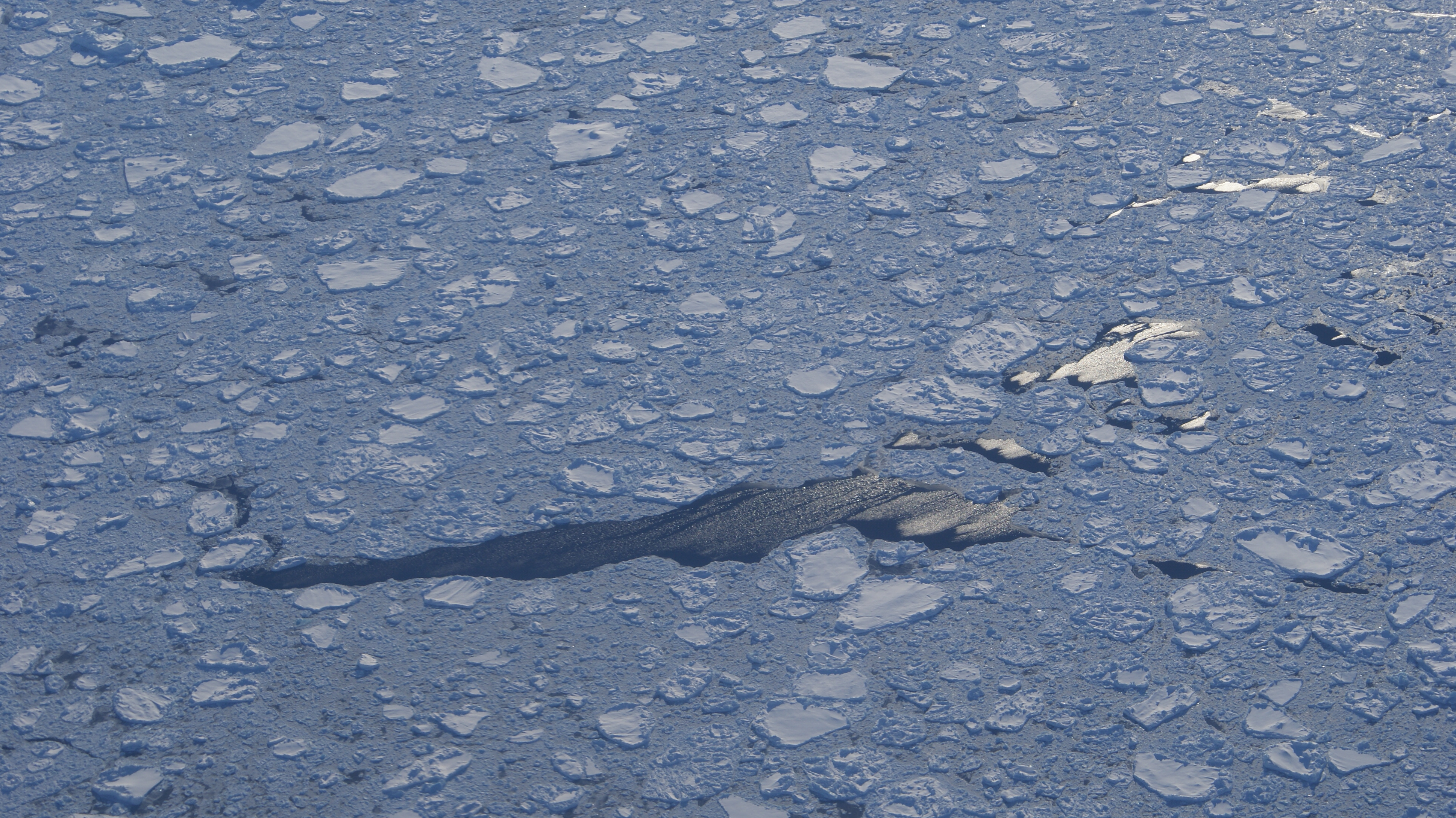
Ikaasaartik Strait (old spelling: ''Ikâsârtik'') is a strait in the Sermersooq municipality, on the southeastern coast of Greenland. Geography The strait separates Kulusuk Island in the southwest from Apusiaajik Island in the northeast. The strait waterway connects the Torsuut Tunoq sound in the northwest with the North Atlantic in the southeast.Tasiilaq, Saga Map, Tage Schjøtt, 1992 Icelandair STOL aircraft approach Kulusuk Airport on the way from Nerlerit Inaat Airport, Nerlerit Inaat and Reykjavík Airport, Reykjavík flying directly over the southern end of Apusiaajik Island and then over the Ikaasaartik Strait, in an air canyon between the Qalorujoorneq ridge on Kulusuk Island, and the ''Kangaartik'' and ''Iperajivit'' summits on Apusiaajik Island. During winter pack ice and small icebergs pushed forth by the East Greenland Current ram against the northeastern coast, blocking the narrow strait and facilitating the freeze of the much wider Torsuut Tunoq sound. Refe ... [...More Info...] [...Related Items...] OR: [Wikipedia] [Google] [Baidu] |
Greenland
Greenland ( kl, Kalaallit Nunaat, ; da, Grønland, ) is an island country in North America that is part of the Kingdom of Denmark. It is located between the Arctic and Atlantic oceans, east of the Canadian Arctic Archipelago. Greenland is the world's largest island. It is one of three constituent countries that form the Kingdom of Denmark, along with Denmark and the Faroe Islands; the citizens of these countries are all citizens of Denmark and the European Union. Greenland's capital is Nuuk. Though a part of the continent of North America, Greenland has been politically and culturally associated with Europe (specifically Norway and Denmark, the colonial powers) for more than a millennium, beginning in 986.The Fate of Greenland's Vikings , by Dale Mackenzie Brown, ''Archaeological Institute of America'', ... [...More Info...] [...Related Items...] OR: [Wikipedia] [Google] [Baidu] |
STOL
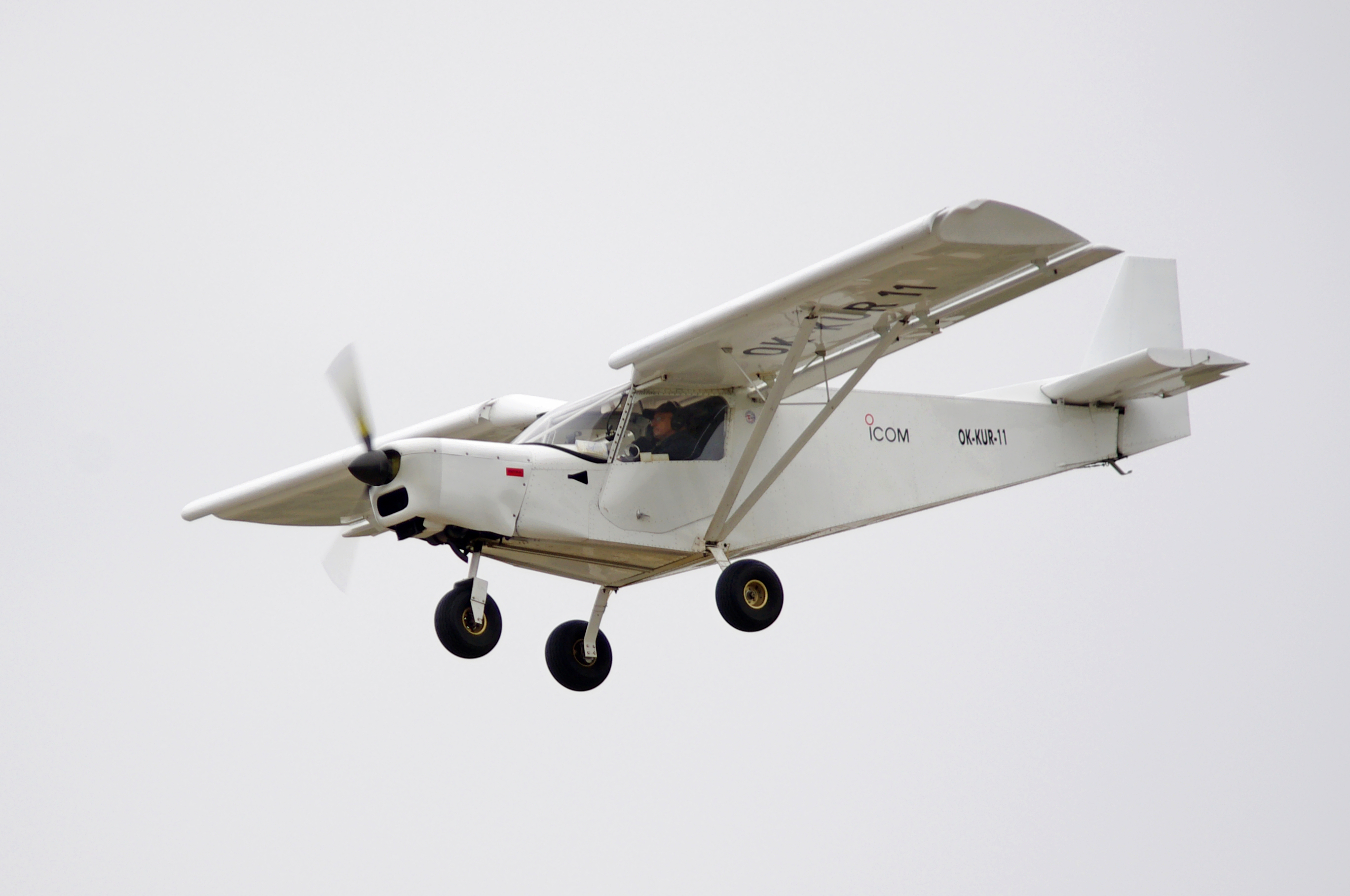
A short takeoff and landing (STOL) aircraft is a conventional fixed-wing aircraft that has short runway requirements for takeoff and landing. Many STOL-designed aircraft also feature various arrangements for use on airstrips with harsh conditions (such as high altitude or ice). STOL aircraft, including those used in scheduled passenger airline operations, have also been operated from STOLport airfields which feature short runways. Design considerations Many fixed-wing STOL aircraft are bush planes, though some, like the de Havilland Canada Dash-7, are designed for use on prepared airstrips; likewise, many STOL aircraft are taildraggers, though there are exceptions like the PAC P-750 XSTOL, the Quest Kodiak, the de Havilland Canada DHC-6 Twin Otter and the Peterson 260SE. Autogyros also have STOL capability, needing a short ground roll to get airborne, but capable of a near-zero ground roll when landing. Runway length requirement is a function of the square of the minimum ... [...More Info...] [...Related Items...] OR: [Wikipedia] [Google] [Baidu] |
Iceberg
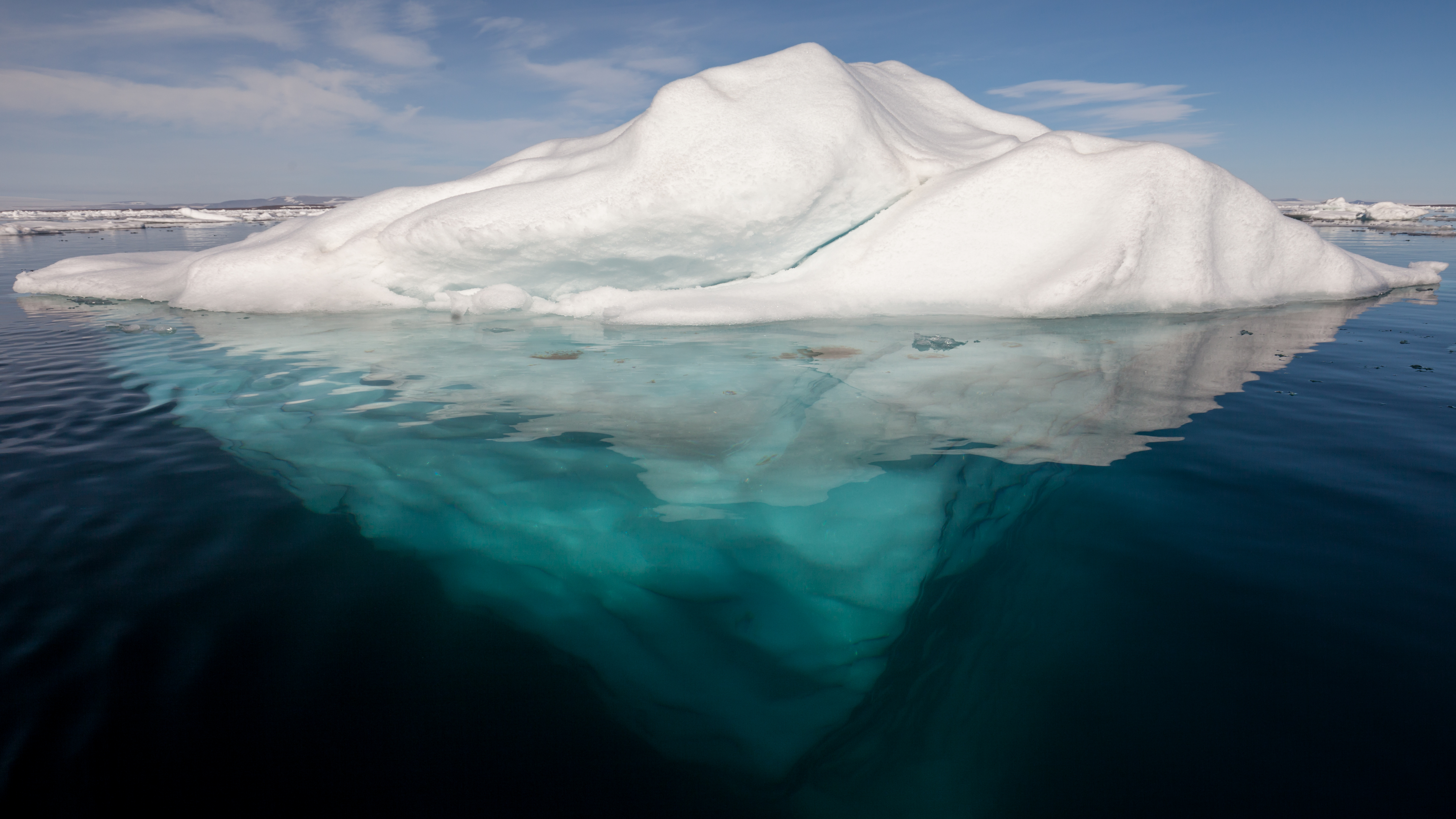
An iceberg is a piece of freshwater ice more than 15 m long that has broken off a glacier or an ice shelf and is floating freely in open (salt) water. Smaller chunks of floating glacially-derived ice are called "growlers" or "bergy bits". The sinking of the ''Titanic'' in 1912 led to the formation of the International Ice Patrol in 1914. Much of an iceberg is below the surface, which led to the expression "tip of the iceberg" to illustrate a small part of a larger unseen issue. Icebergs are considered a serious maritime hazard. Icebergs vary considerably in size and shape. Icebergs that calve from glaciers in Greenland are often irregularly shaped while Antarctic ice shelves often produce large tabular (table top) icebergs. The largest iceberg in recent history (2000), named B-15, measured nearly 300 km × 40 km. The largest iceberg on record was an Antarctic tabular iceberg of over [] sighted west of Scott Island, in the South Pacific Ocean, by the USS Glacier ... [...More Info...] [...Related Items...] OR: [Wikipedia] [Google] [Baidu] |
Pack Ice
Drift ice, also called brash ice, is sea ice that is not attached to the shoreline or any other fixed object (shoals, grounded icebergs, etc.).Leppäranta, M. 2011. The Drift of Sea Ice. Berlin: Springer-Verlag. Unlike fast ice, which is "fastened" to a fixed object, drift ice is carried along by winds and sea currents, hence its name. When drift ice is driven together into a large single mass (>70% coverage), it is called pack ice. Wind and currents can pile up that ice to form ridges up to tens of metres in thickness. These represent a challenge for icebreakers and offshore structures operating in cold oceans and seas. Drift ice consists of ice floes, individual pieces of sea ice or more across. Floes are classified according to size: ''small'' – to ; ''medium'' – to ; ''big'' – to ; ''vast'' – to ; and ''giant'' – more than . Drift ice affects: * Security of navigation * Climatic impact (see Polar ice packs) * Geological impact * Biosphere influence (see Ecol ... [...More Info...] [...Related Items...] OR: [Wikipedia] [Google] [Baidu] |
Qalorujoorneq
Qalorngoorneq is a small mountain range in the eastern part of Kulusuk Island in Sermersooq Municipality, southeastern Greenland. At its highest point is the highest mountain on the island. Geography Qalorngoorneq is located in the eastern part of , to the southeast of the .Walls To the northeast and to the east, Qalorngoorneq walls fall directly into the |
Reykjavík Airport
Reykjavík Airport ( Icelandic: ''Reykjavíkurflugvöllur'') is the main domestic airport serving Reykjavík, the capital of Iceland, located about from the city centre. Having shorter runways than the city's larger international airport Keflavík International Airport, which is sited out of town, it only serves internal flights within Iceland, small international charters, transatlantic ferry flights and private flights. It can also serve as alternate airport for flights inbound towards Keflavík, in case of adverse weather conditions there. To distinguish from the larger Keflavík International Airport outside Reykjavík, it is sometimes unofficially in English called ''Reykjavik City Airport'' (also by the airport administration), and also ''Reykjavik Domestic Airport''. Reykjavík Airport is the main hub of Eagle Air and the domestic hub of Icelandair, and it currently has two runways (as of January 2022). Reykjavík Airport is owned and operated by the state enterpris ... [...More Info...] [...Related Items...] OR: [Wikipedia] [Google] [Baidu] |
Nerlerit Inaat Airport
Nerlerit Inaat Airport ( kl, Mittarfik Nerlerit Inaat, da, Constable Pynt Lufthavn) is an airport in the Sermersooq municipality in eastern Greenland. It is located on Jameson Land and serves the town of Ittoqqortoormiit, approximately to the south-east. The airport can serve STOL aircraft. An AS 350 helicopter of Air Greenland is permanently housed at the airport, linking it with Ittoqqortoormiit Heliport. The helicopter also provides search and rescue capabilities within the surrounding area, and can be chartered for transport. On July 28, 2021, in Nerlerit Inaat Airport, a temperature of was recorded. History The airport was built in 1985 by the US oil company ARCO in connection with oil exploration in Jameson Land. It was sold to Greenland in 1990. In summer 2004 the airport was the destination of an arctic trip by two German microlight pilots flying a Flight Design CT2K light aircraft. The airport may be relocated to a new site on Liverpool Land closer to Ittoqqorto ... [...More Info...] [...Related Items...] OR: [Wikipedia] [Google] [Baidu] |
Kulusuk Airport
Kulusuk Airport ( kl, Mittarfik Kulusuk) is an airport in Kulusuk, a settlement on an island of the same name off the shore of the North Atlantic in the Sermersooq municipality in southeastern Greenland. History The airstrip was built by US defense in 1956, in order to support a Distant Early Warning Line station. The defense station was closed in 1991. Many remnants of the US military use of the field remain, including vehicles and plant used by the military to maintain the strip. Like some other airports in Greenland it was not built at a location suitable for civilian travel, i.e. not near the local major settlement. There are political discussions on building a new airport at Tasiilaq, a major settlement in the region, and to close the Kulusuk Airport. During an operation in the early 1990's Kulusuk Airport was the base of operations for a team attempting to recover a US Air Force Lockheed P-38 Lightning from a glacier approximately 80 miles away. The aircraft was origin ... [...More Info...] [...Related Items...] OR: [Wikipedia] [Google] [Baidu] |
Icelandair
Icelandair is the flag carrier airline of Iceland, with its corporate head office on the property of Reykjavík Airport in the capital city Reykjavik. Linked from here It is part of the Icelandair Group and operates to destinations on both sides of the Atlantic Ocean from its main airline hub, hub at Keflavík International Airport. The geographical position of Iceland is convenient for one-stop transatlantic flights, which is one pillar of the airline's business strategy, along with traffic to, from, and within the country. History Flugfélag Íslands in the early decades Icelandair traces its roots back to 1937, when Flugfélag Akureyrar was founded in Akureyri on the north coast of Iceland. Flight operations started in 1938 with a single Waco YKS-7 configured as a floatplane. In 1939 the airline was grounded when this aircraft was destroyed in a capsizing accident. The company moved to Reykjavík, where it acquired another Waco aircraft and was relaunched in 1940 as F ... [...More Info...] [...Related Items...] OR: [Wikipedia] [Google] [Baidu] |
Sermersooq
Sermersooq (, da, sted med meget is, lit=place of much ice) is a municipality in Greenland, formed on 1 January 2009 from five earlier, smaller municipalities. Its administrative seat is the city of Nuuk (formerly called Godthåb), the capital of Greenland, and it is the most populous municipality in the country, with 23,123 inhabitants as of January 2020. Creation The municipality consists of former municipalities of eastern and southwestern Greenland, each named after the largest settlement at the time of formation: * Ammassalik Municipality * Ittoqqortoormiit Municipality * Ivittuut Municipality * Nuuk Municipality * Paamiut Municipality Administrative divisions Ammassalik area * Tasiilaq (Ammassalik) * Kuummiit * Kulusuk (Kap Dan) * Tiniteqilaaq * Sermiligaaq * Isortoq Ittoqqortoormiit area * Ittoqqortoormiit (Scoresbysund) * Itterajivit Ivittuut area * Kangilinnguit (Grønnedal) Nuuk area * Nuuk (Godthåb) * Kapisillit * Qeqertarsuatsiaat (Fiskenæsset) Paamiu ... [...More Info...] [...Related Items...] OR: [Wikipedia] [Google] [Baidu] |
North Atlantic
The Atlantic Ocean is the second-largest of the world's five oceans, with an area of about . It covers approximately 20% of Earth's surface and about 29% of its water surface area. It is known to separate the "Old World" of Africa, Europe and Asia from the "New World" of the Americas in the European perception of the World. The Atlantic Ocean occupies an elongated, S-shaped basin extending longitudinally between Europe and Africa to the east, and North and South America to the west. As one component of the interconnected World Ocean, it is connected in the north to the Arctic Ocean, to the Pacific Ocean in the southwest, the Indian Ocean in the southeast, and the Southern Ocean in the south (other definitions describe the Atlantic as extending southward to Antarctica). The Atlantic Ocean is divided in two parts, by the Equatorial Counter Current, with the North(ern) Atlantic Ocean and the South(ern) Atlantic Ocean split at about 8°N. Scientific explorations of the Atlantic ... [...More Info...] [...Related Items...] OR: [Wikipedia] [Google] [Baidu] |
Torsuut Tunoq
Torsuut Tunoq (old spelling: ''Torssuut Tunoq'') is a sound on the southeastern coast of Greenland. It is an inner waterway of the North Atlantic. Geography The sound separates Kulusuk Island in the south from Apusiaajik Island in the northeast, and from the small ''Akinaaq'' island and smaller skerries in the northwest. The strait waterway connects Ammassalik Fjord in the northwest with the North Atlantic in the southeast, through the Ikaasaartik Strait.Tasiilaq, Saga Map, Tage Schjøtt, 1992 During winter pack ice and small icebergs pushed forth by the East Greenland Current ram against the northeastern coast, blocking the narrow Ikaasaartik Strait and facilitating the freeze of the much wider Torsuut Tunoq sound. The tidewater Apusiaajik Glacier drains into the sound in its northernmost part. Settlement Kulusuk is the only settlement in the area, located on an island of the same name on the southern coast of the sound. Transport The inhabitants of Kulusuk use snowmo ... [...More Info...] [...Related Items...] OR: [Wikipedia] [Google] [Baidu] |


_CS64_(cropped).jpg)


