|
Kotkhai
Kotkhai is a town and a nagar panchayat in Shimla district in the Indian state of Himachal Pradesh.The name Kotkhai is derived from Hindi and Urdu language where the name "Kot" means Kings Palace and "Khai" means depth, therefore "Kotkhai" means "Kings palace situated in depth". It is a tehsil with around 40 villages under its administration. The whole tehsil is known for quality apple production. Kotkhai is also known for its fairs and traditional values, people of Kotkhai are really devotional towards Devtas where each villages believes in different forms of Devtas (also known as Dev Bhoomi). History Initially Kotkhai was a princely state of the British Raj and was founded around the 12th century AD, by the descendants of Kartar Singh (younger brother of Rana Kirat Singh, "founder of Kumharsain state"). Kartar Singh along with his two brothers (Kirat Singh and Prithvi Singh), was driven away from Gaya in Bihar, by the fear of Muslim invaders in the 11th century AD. In the begi ... [...More Info...] [...Related Items...] OR: [Wikipedia] [Google] [Baidu] |
Shimla District
Shimla is a District (India), district in the state of Himachal Pradesh in northern India. Its headquarters is the state capital of Shimla. Neighbouring districts are Mandi District, Mandi and Kullu in the north, Kinnaur in the east, Uttarakhand in the southeast, Solan to the southwest and Sirmaur District, Sirmaur in the south. The elevation of the district ranges from to . As of 2011 it is the third most populous district of Himachal Pradesh (out of List of districts of Himachal Pradesh, 12), after Kangra district, Kangra and Mandi district, Mandi. It is the most urbanized district of Himachal Pradesh. Administrative structure Access By road Shimla is connected by road to all the major towns. Distance between the major towns and Shimla: * Kalka - 80 km * Patiala - 172 km * Chandigarh - 119 km * Ambala - 166 km * Delhi - 380 km * Agra - 568 km * Amritsar - 342 km * Jammu (via Pathankot) - 482 km * Srinagar - 787 km * Ja ... [...More Info...] [...Related Items...] OR: [Wikipedia] [Google] [Baidu] |
Kotgarh
Kotgarh is a village and a sub-tehsil in Kumarsain subdivision of Shimla district in the Indian state of Himachal Pradesh. Formerly under the British Raj, it was the capital of Kotkhai-Kotgarh princely state, which was later shifted to Kiari in Kotkhai. Kotgarh was incorporated into British India The provinces of India, earlier presidencies of British India and still earlier, presidency towns, were the administrative divisions of British governance on the Indian subcontinent. Collectively, they have been called British India. In one ... in 1815 and later to India in 1947. It was in this village, where Satyanand Stokes planted first American apple tree in India in 1916. Kotgarh is known as the apple bowl of India, due to its high quality of apple and cherry cultivation. Notables 1) Shri Satyanand Stokes - Horticulturist who settled and introduced American variety apple cultivation first time in India in Kotgarh. 2) Smt. Vidya Stokeshttps://himcivils.com/satyana ... [...More Info...] [...Related Items...] OR: [Wikipedia] [Google] [Baidu] |
Kumharsain
Kumarsain (; ), also known as Kumharsain, is a sub-division, a tehsil and a village in Shimla District in the Indian state of Himachal Pradesh. Formerly under the British Raj, it was the capital of princely state of Kumharsain, which was one of the several states of the Punjab States Agency.It is about 80 km from Shimla and famous for apple and cherry orchards. Kumarsain was founded in the 11th century A.D. as the capital of ''Kumharsain State''. It was occupied by Nepal from 1803 to 1816, and by British India from 1839 to 1840. Kumarsain lies 1 km beside National Highway 5 from Bharara village, which is 20 km from Narkanda towards Rampur Bushahr. Geography Kumarsain is located at and has an average elevation of 1,675 metres (5,495 ft). It is situated above the Satluj river in the North-West Himalayas, about 80 km from Shimla towards interior ranges. Kumarsain has many villages within its boundary namely Mateyog, Damali, Lathi, Bharara, Bai and De ... [...More Info...] [...Related Items...] OR: [Wikipedia] [Google] [Baidu] |
River Giri Ganga
Giri River is a tributary of the Yamuna river that flows in the state of Himachal Pradesh in India. " Manoj Jreat, Pg 23, Indus Publishing Company, 2004, ISBN 9788173871573, ''"... Giri river rises in Kotkhai hills and flows through Sirmaur district ultimately merging with Yamuna near Paonta ..."'' See also *Yamuna river
The Yamuna ( Hindustani: ), also spelt Jumna, is the second-largest tributary river of the Ganges by discharge and the longest tributary in India. Originating from the Yamunotri Glacier at a height of about on the southwestern slopes of Ba ...
References < ...
|
List Of RTO Districts In India
This is a list of the Indian Regional Transport Offices and the assigned codes for vehicle registration. These are broken down to states or Union Territories and their districts. The offices are all belonging to a certain type: * ARTO : Additional Transport Office * AssRTO : Assistant Regional Transport Office * DTC : Deputy Transport Commissioner * DTO : District Transport Office * DyDZO : Deputy Directorate Zonal Office * DyRTO : Deputy Regional Transport Office * JtRTO : Joint Regional Transport Officer * JTC : Joint Transport Commissioner * LA : Licensing Authority * MVI : Motor Vehicle Inspector *MVSI: Motor Vehicle Sub Inspector * PVD : Public Vehicles Department * RLA : Regional Licensing Authority * RTA : Regional Transport Authority * RTO : Regional Transport Office * SDivO : Subdivisional Office * SDM : Subdivisional Magistrate * SRTO : Sub Regional Transport Office * STA : State Transport Authority * UO: Unit Office * WIAA : Western India Automobile Association ANâ ... [...More Info...] [...Related Items...] OR: [Wikipedia] [Google] [Baidu] |
Kumarsain
Kumarsain (; ), also known as Kumharsain, is a sub-division, a tehsil and a village in Shimla District in the Indian state of Himachal Pradesh. Formerly under the British Raj, it was the capital of princely state of Kumharsain, which was one of the several states of the Punjab States Agency.It is about 80 km from Shimla and famous for apple and cherry orchards. Kumarsain was founded in the 11th century A.D. as the capital of ''Kumharsain State''. It was occupied by Nepal from 1803 to 1816, and by British India from 1839 to 1840. Kumarsain lies 1 km beside National Highway 5 from Bharara village, which is 20 km from Narkanda towards Rampur Bushahr. Geography Kumarsain is located at and has an average elevation of 1,675 metres (5,495 ft). It is situated above the Satluj river in the North-West Himalayas, about 80 km from Shimla towards interior ranges. Kumarsain has many villages within its boundary namely Mateyog, Damali, Lathi, Bharara, Bai and De ... [...More Info...] [...Related Items...] OR: [Wikipedia] [Google] [Baidu] |
Mahasu Pahari Language
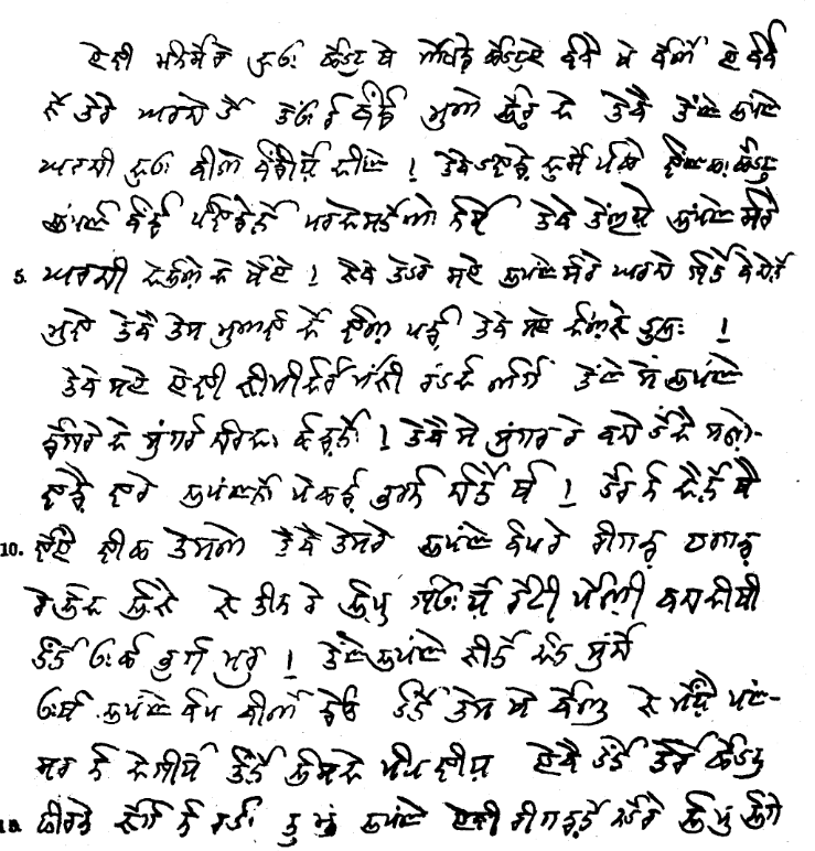
Mahasu Pahari (Takri: ) is a Western Pahari (Himachali, Takri: ) language spoken in Himachal Pradesh. It is also known as Mahasui or Mahasuvi. The speaking population is about 1,000,000 (2001). It is more commonly spoken in the Himachal Pradesh, Shimla (Simla) and Solan districts. It is to be known that Shimla and Solan were parts of the old Mahasu district. Himachal Pradesh State on 1 September, 1972 reorganised the districts dissolving Mahasu district. The Solan district was carved out of Solan and Arki tehsils of the then Mahasu district and tehsils of Kandaghat and Nalagarh of the then Shimla District of Punjab. Area According to different locations, the language has developed several dialects. Lower Mahasu Pahari (Baghati, Baghliani, Kiunthali), Upper Mahasu Pahari (Rampuri, Rohruri, Nawari, Jubbali, Shimla Siraji, Sodochi). The Kiunthali variety appears to be understood by others, and their attitude toward it is favorable. Rampuri is also called Kochi; Rohruri is also ... [...More Info...] [...Related Items...] OR: [Wikipedia] [Google] [Baidu] |
India
India, officially the Republic of India (Hindi: ), is a country in South Asia. It is the seventh-largest country by area, the second-most populous country, and the most populous democracy in the world. Bounded by the Indian Ocean on the south, the Arabian Sea on the southwest, and the Bay of Bengal on the southeast, it shares land borders with Pakistan to the west; China, Nepal, and Bhutan to the north; and Bangladesh and Myanmar to the east. In the Indian Ocean, India is in the vicinity of Sri Lanka and the Maldives; its Andaman and Nicobar Islands share a maritime border with Thailand, Myanmar, and Indonesia. Modern humans arrived on the Indian subcontinent from Africa no later than 55,000 years ago., "Y-Chromosome and Mt-DNA data support the colonization of South Asia by modern humans originating in Africa. ... Coalescence dates for most non-European populations average to between 73–55 ka.", "Modern human beings—''Homo sapiens''—originated in Africa. Then, int ... [...More Info...] [...Related Items...] OR: [Wikipedia] [Google] [Baidu] |
Presidencies And Provinces Of British India
The provinces of India, earlier presidencies of British India and still earlier, presidency towns, were the administrative divisions of British governance on the Indian subcontinent. Collectively, they have been called British India. In one form or another, they existed between 1612 and 1947, conventionally divided into three historical periods: *Between 1612 and 1757 the East India Company set up factories (trading posts) in several locations, mostly in coastal India, with the consent of the Mughal emperors, Maratha Empire or local rulers. Its rivals were the merchant trading companies of Portugal, Denmark, the Netherlands, and France. By the mid-18th century, three ''presidency towns'': Madras, Bombay and Calcutta, had grown in size. *During the period of Company rule in India (1757–1858), the company gradually acquired sovereignty over large parts of India, now called "presidencies". However, it also increasingly came under British government oversight, in effect sh ... [...More Info...] [...Related Items...] OR: [Wikipedia] [Google] [Baidu] |
Himachal Pradesh
Himachal Pradesh (; ; "Snow-laden Mountain Province") is a state in the northern part of India. Situated in the Western Himalayas, it is one of the thirteen mountain states and is characterized by an extreme landscape featuring several peaks and extensive river systems. Himachal Pradesh is the northernmost state of India and shares borders with the union territories of Jammu and Kashmir and Ladakh to the north, and the states of Punjab to the west, Haryana to the southwest, Uttarakhand to the southeast and a very narrow border with Uttar Pradesh to the south. The state also shares an international border to the east with the Tibet Autonomous Region in China. Himachal Pradesh is also known as , meaning 'Land of Gods' and which means 'Land of the Brave'. The predominantly mountainous region comprising the present-day Himachal Pradesh has been inhabited since pre-historic times, having witnessed multiple waves of human migrations from other areas. Through its history, the ... [...More Info...] [...Related Items...] OR: [Wikipedia] [Google] [Baidu] |
Gaya, India
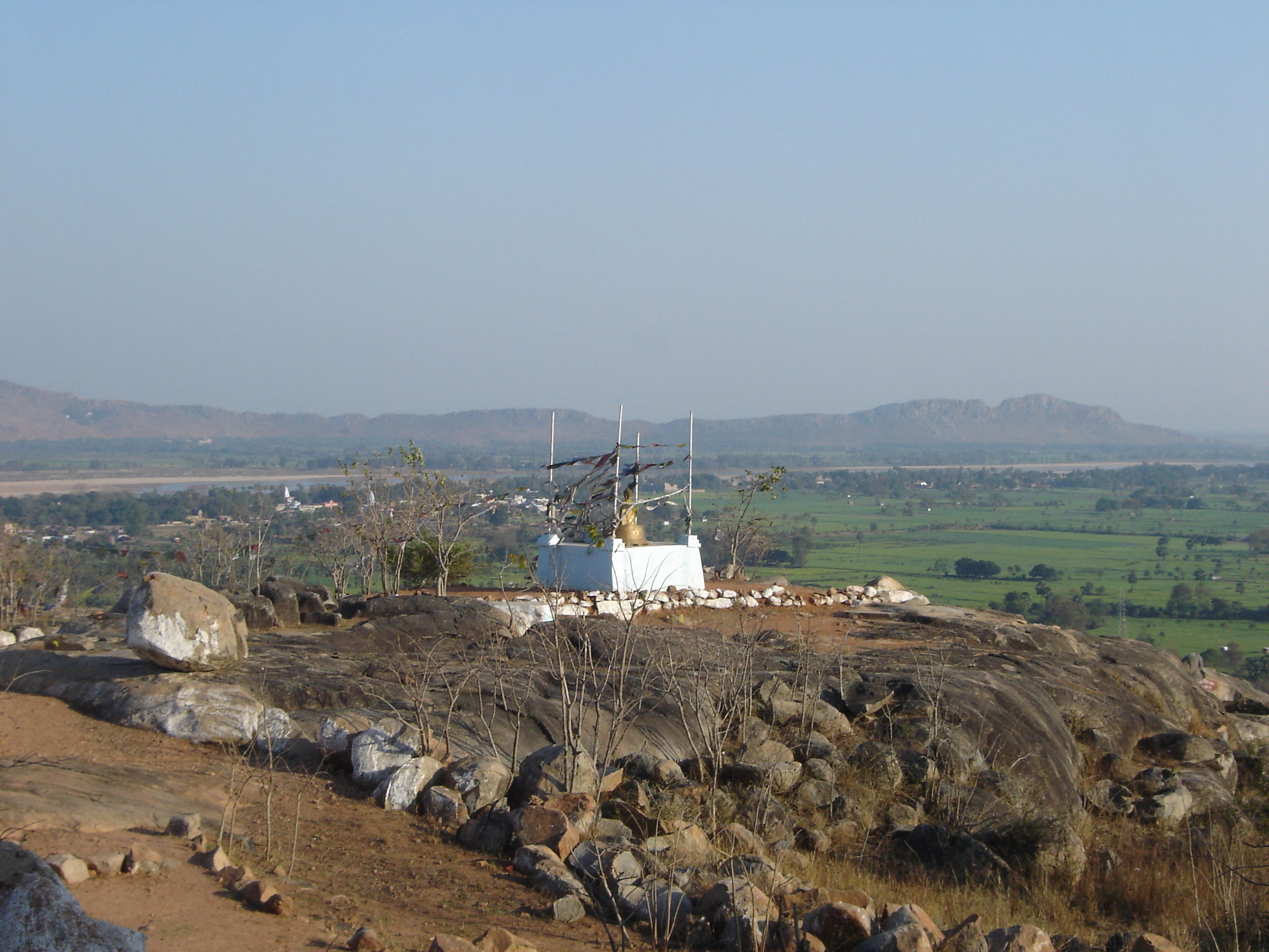
Gaya ( IAST: ) is a city, municipal corporation and the administrative headquarters of Gaya district and Magadh division of the Indian state of Bihar. Gaya is south of Patna and is the state's second-largest city, with a population of 470,839. The city is surrounded on three sides by small, rocky hills ( Mangla-Gauri, Shringa-Sthan, Ram-Shila, and Brahmayoni), with the Phalgu River on its eastern side. It is a city of historical significance and is one of the major tourist attractions in India. Gaya is sanctified in the Jain, Hindu, and Buddhist religions. Gaya district is mentioned in the great epics, the ''Ramayana'' and the ''Mahabharata''. It is the place where Rama, with Sita and Lakshmana, came to offer pind-daan for their father, Dasharath, and continues to be a major Hindu pilgrimage site for the pind-daan ritual. Bodh Gaya, where Buddha is said to have attained enlightenment, is one of the four holy sites of Buddhism. Gaya was chosen as one of twelve heritage ci ... [...More Info...] [...Related Items...] OR: [Wikipedia] [Google] [Baidu] |
List Of Districts Of India
A district ('' zila'') is an administrative division of an Indian state or territory. In some cases, districts are further subdivided into sub-divisions, and in others directly into ''tehsils'' or ''talukas''. , there are a total of 766 districts, up from the 640 in the 2011 Census of India and the 593 recorded in the 2001 Census of India. District officials include: *District Magistrate or Deputy Commissioner or District Collector, an officer of the Indian Administrative Service, in charge of administration and revenue collection *Superintendent of Police or Senior Superintendent of Police or Deputy Commissioner of Police, an officer belonging to the Indian Police Service, responsible for maintaining law and order *Deputy Conservator of Forests, an officer belonging to the Indian Forest Service, entrusted with the management of the forests, environment and wildlife of the district Each of these officials is aided by officers from the appropriate branch of the state governme ... [...More Info...] [...Related Items...] OR: [Wikipedia] [Google] [Baidu] |


