|
Kongiganak, Alaska
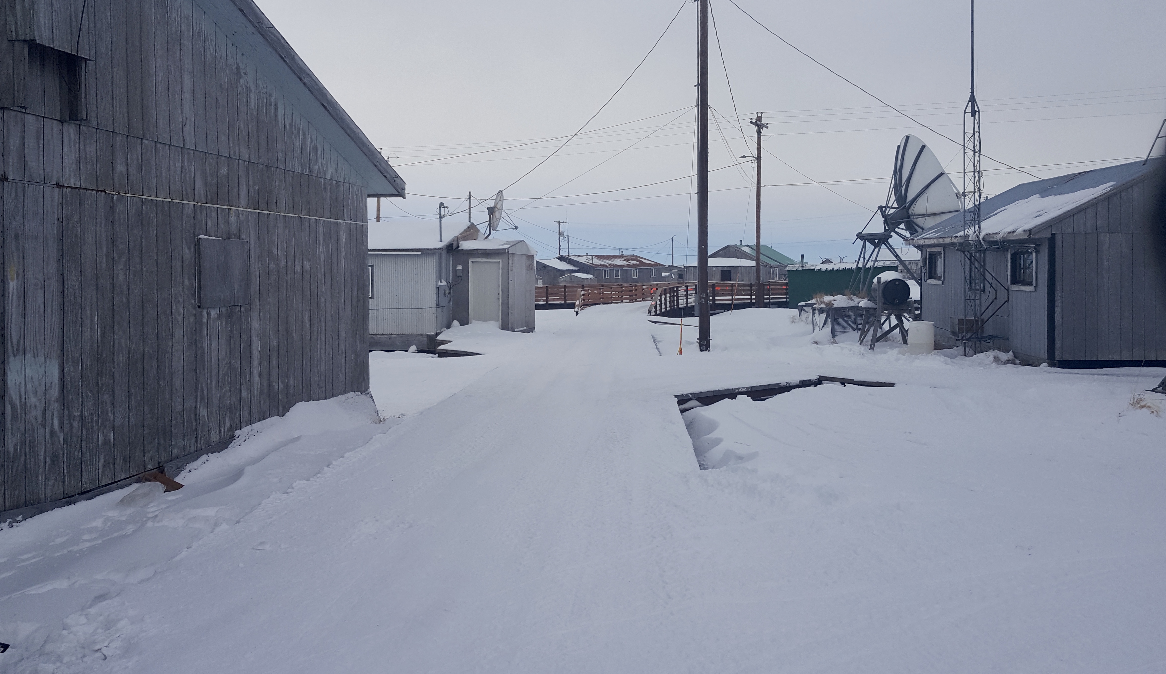
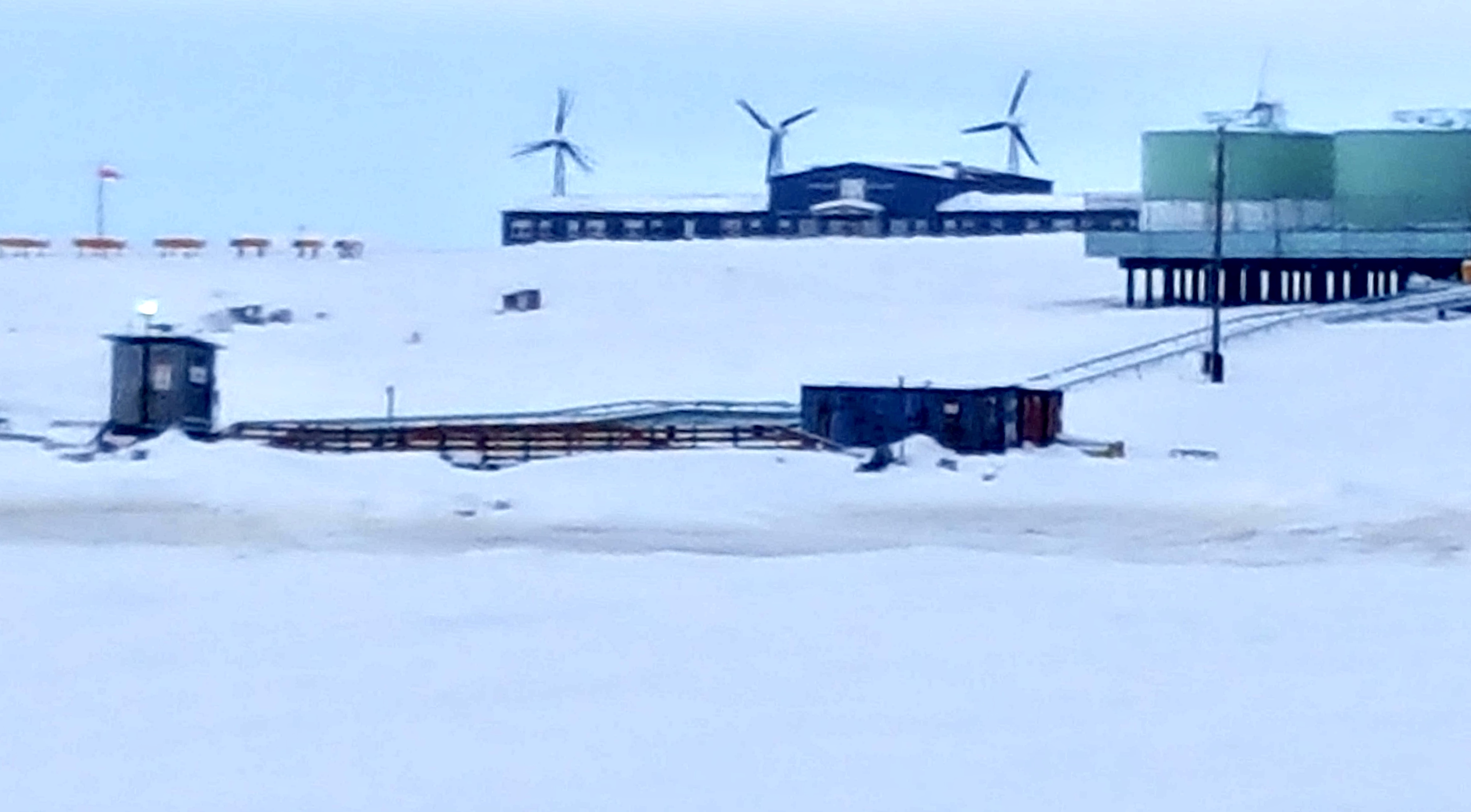
Kongiganak ( esu, Kangirnaq) is a census-designated place (CDP) in Bethel Census Area, Alaska, United States, and primarily sits on the eastern shore of the Kongiganak River. As of the 2010 United States Census, 2010 census, the population was 439, up from 359 in 2000. Geography Kongiganak is located at (59.953896, -162.895199). According to the United States Census Bureau, the CDP has a total area of , of which are land and (9.14%) is water. History The original Kongiganak was settled in the 19th century and was located on a small creek just above Kuskokwim Bay. In 1880, it was called "Kongiganagamute" and had a population of 175 Inuit. The site was later abandoned. It is located a few miles east of present-day Kwigillingok and about 9 miles southeast of the current Kongiganak. The current Kongiganak was permanently settled in the 1960s when former residents of Kwigillingok sought higher ground in search of relief from floods. It is served by Kongiganak Airport. Demographi ... [...More Info...] [...Related Items...] OR: [Wikipedia] [Google] [Baidu] |
Census-designated Place
A census-designated place (CDP) is a concentration of population defined by the United States Census Bureau for statistical purposes only. CDPs have been used in each decennial census since 1980 as the counterparts of incorporated places, such as self-governing cities, towns, and villages, for the purposes of gathering and correlating statistical data. CDPs are populated areas that generally include one officially designated but currently unincorporated community, for which the CDP is named, plus surrounding inhabited countryside of varying dimensions and, occasionally, other, smaller unincorporated communities as well. CDPs include small rural communities, edge cities, colonias located along the Mexico–United States border, and unincorporated resort and retirement communities and their environs. The boundaries of any CDP may change from decade to decade, and the Census Bureau may de-establish a CDP after a period of study, then re-establish it some decades later. Most unin ... [...More Info...] [...Related Items...] OR: [Wikipedia] [Google] [Baidu] |
Kongiganak River
Kongiganak ( esu, Kangirnaq) is a census-designated place (CDP) in Bethel Census Area, Alaska, United States, and primarily sits on the eastern shore of the Kongiganak River. As of the 2010 census, the population was 439, up from 359 in 2000. Geography Kongiganak is located at (59.953896, -162.895199). According to the United States Census Bureau, the CDP has a total area of , of which are land and (9.14%) is water. History The original Kongiganak was settled in the 19th century and was located on a small creek just above Kuskokwim Bay. In 1880, it was called "Kongiganagamute" and had a population of 175 Inuit. The site was later abandoned. It is located a few miles east of present-day Kwigillingok and about 9 miles southeast of the current Kongiganak. The current Kongiganak was permanently settled in the 1960s when former residents of Kwigillingok sought higher ground in search of relief from floods. It is served by Kongiganak Airport. Demographics The current settleme ... [...More Info...] [...Related Items...] OR: [Wikipedia] [Google] [Baidu] |
Lower Kuskokwim School District
Lower Kuskokwim School District (LKSD), or Bethel Public Schools, is a school district headquartered in Bethel, Alaska. it is the largest rural school district in the state, with 4,300 students. Employment and teacher demographics In 2017 it had about 300 certified teachers, with about 20% being Alaska Natives, the highest percentage of any Alaskan school district. The district, as of 2017, pays for the education of prospective teachers, sending them to University of Alaska Fairbanks (UAF); the district pays all of a student's costs if they go to UAF; the LKSD board also offers scholarships for students attending other universities. The stipulation is that students who get the scholarships are obligated to teach at LKSD, with one year of teaching per year of scholarship. In 2013 LKSD began requiring teachers without university degrees to work towards getting them, and in 2017 it set a ten-year deadline for doing so. Most of its non-certified teachers taught in rural schools. Acco ... [...More Info...] [...Related Items...] OR: [Wikipedia] [Google] [Baidu] |
Kong School
Kong may refer to: Places * Kong Empire (1710–1895), a former African state covering north-eastern Côte d'Ivoire and much of Burkina Faso * Kong, Iran, a city on the Persian Gulf * Kong, Shandong (), a town in Laoling, Shandong, China * Kong, Ivory Coast, a town in Savanes District, Ivory Coast * Kong River, in Southeast Asia Arts and entertainment Fictional characters * King Kong, a fictional giant ape appearing in several films and other works * '' Donkey Kong'', a series of video games that feature various ape characters that use the Kong name ** Donkey Kong (character) ** Diddy Kong Donkey Kong's partner * Major T. J. "King" Kong, in the 1964 film ''Dr. Strangelove'' * the title caveman character of ''Kong the Untamed'', a 1975 comic book series * Giant Robots Kongs, various characters from the ''Dai Sentai Goggle-V'' series * Jake Kong, one of the three main characters from the original ''The Ghost Busters'' * Mammoth Kong, a gigantic ape monster - see '' Moonlight Mask ... [...More Info...] [...Related Items...] OR: [Wikipedia] [Google] [Baidu] |
Poverty Line
The poverty threshold, poverty limit, poverty line or breadline is the minimum level of income deemed adequate in a particular country. The poverty line is usually calculated by estimating the total cost of one year's worth of necessities for the average adult.Poverty Lines – Martin Ravallion, in The New Palgrave Dictionary of Economics, 2nd Edition, London: Palgrave Macmillan The cost of housing, such as the rent for an apartment, usually makes up the largest proportion of this estimate, so economists track the real estate market and other housing cost indicators as a major influence on the poverty line. Individual factors are often used to account for various circumstances, such as whether one is a parent, elderly, a child, married, etc. The poverty threshold may be adjusted annually. In practice, like the definition of poverty, the official or common understanding of the poverty line is significantly higher in developed countries than in developing countries. In October 20 ... [...More Info...] [...Related Items...] OR: [Wikipedia] [Google] [Baidu] |
Per Capita Income
Per capita income (PCI) or total income measures the average income earned per person in a given area (city, region, country, etc.) in a specified year. It is calculated by dividing the area's total income by its total population. Per capita income is national income divided by population size. Per capita income is often used to measure a sector's average income and compare the wealth of different populations. Per capita income is also often used to measure a country's standard of living. It is usually expressed in terms of a commonly used international currency such as the euro or United States dollar, and is useful because it is widely known, is easily calculable from readily available gross domestic product (GDP) and population estimates, and produces a useful statistic for comparison of wealth between sovereign territories. This helps to ascertain a country's development status. It is one of the three measures for calculating the Human Development Index of a country. Per ... [...More Info...] [...Related Items...] OR: [Wikipedia] [Google] [Baidu] |
Race (United States Census)
Race and ethnicity in the United States census, defined by the federal Office of Management and Budget (OMB) and the United States Census Bureau, are the Self-concept, self-identified categories of Race and ethnicity in the United States, race or races and ethnicity chosen by residents, with which they most closely identify, and indicate whether they are of Hispanic or Latino (demonym), Latino origin (the only Race and ethnicity in the United States, categories for ethnicity). The racial categories represent a social-political construct for the race or races that respondents consider themselves to be and, "generally reflect a social definition of race recognized in this country." OMB defines the concept of race as outlined for the U.S. census as not "scientific or anthropological" and takes into account "social and cultural characteristics as well as ancestry", using "appropriate scientific methodologies" that are not "primarily biological or genetic in reference." The race cat ... [...More Info...] [...Related Items...] OR: [Wikipedia] [Google] [Baidu] |
Kongiganak Airport
Kongiganak Airport is a state-owned public-use airport located adjacent to the village of Kongiganak, in the Bethel Census Area of the U.S. state of Alaska. Although most U.S. airports use the same three-letter location identifier for the FAA and IATA, this airport is assigned DUY by the FAA and KKH by the IATA. The airport's ICAO identifier is PADY. Facilities and aircraft Kongiganak Airport has one runway designated 18/36 with a gravel surface measuring 1,885 by 35 feet (575 x 11 m). For the 12-month period ending August 26, 2005, the airport had 1,200 general aviation aircraft operations, an average of 100 per month. Airlines and destinations Prior to its bankruptcy and cessation of all operations, Ravn Alaska served the airport from multiple locations. See also * List of airports in Alaska References External links Alaska FAA airport diagram(GIF The Graphics Interchange Format (GIF; or , see pronunciation) is a bitmap image format that was developed ... [...More Info...] [...Related Items...] OR: [Wikipedia] [Google] [Baidu] |
Inuit
Inuit (; iu, ᐃᓄᐃᑦ 'the people', singular: Inuk, , dual: Inuuk, ) are a group of culturally similar indigenous peoples inhabiting the Arctic and subarctic regions of Greenland, Labrador, Quebec, Nunavut, the Northwest Territories, and Alaska. Inuit languages are part of the Eskimo–Aleut languages, also known as Inuit-Yupik-Unangan, and also as Eskaleut. Inuit Sign Language is a critically endangered language isolate used in Nunavut. Inuit live throughout most of Northern Canada in the territory of Nunavut, Nunavik in the northern third of Quebec, Nunatsiavut and NunatuKavut in Labrador, and in various parts of the Northwest Territories, particularly around the Arctic Ocean, in the Inuvialuit Settlement Region. With the exception of NunatuKavut, these areas are known, primarily by Inuit Tapiriit Kanatami, as Inuit Nunangat. In Canada, sections 25 and 35 of the Constitution Act of 1982 classify Inuit as a distinctive group of Aboriginal Canadians wh ... [...More Info...] [...Related Items...] OR: [Wikipedia] [Google] [Baidu] |
Kuskokwim Bay
Kuskokwim Bay is a bay in southwestern Alaska, at about . It is about long, and wide. The Kuskokwim River empties into Kuskokwim Bay. The bay got its name from the river. The largest community on the bay is the city of Quinhagak Quinhagak (; esu, Kuinerraq; Russian language, Russian: Куинагак) is a city in Bethel Census Area, Alaska, Bethel Census Area, Alaska, United States. As of the 2010 United States Census, 2010 census, the population of the city is 669, up f .... Bays of the Bering Sea Bays of Alaska Bodies of water of Bethel Census Area, Alaska {{BethelAK-geo-stub ... [...More Info...] [...Related Items...] OR: [Wikipedia] [Google] [Baidu] |
Downtown Kong
''Downtown'' is a term primarily used in North America by English speakers to refer to a city's sometimes commercial, cultural and often the historical, political and geographic heart. It is often synonymous with its central business district (CBD). Downtowns typically contain a small percentage of a city’s employment. In some metropolitan areas it is marked by a cluster of tall buildings, cultural institutions and the convergence of rail transit and bus lines. In British English, the term "city centre" is most often used instead. History Origins The Oxford English Dictionary's first citation for "down town" or "downtown" dates to 1770, in reference to the center of Boston. Some have posited that the term "downtown" was coined in New York City, where it was in use by the 1830s to refer to the original town at the southern tip of the island of Manhattan.Fogelson, p. 10. As the town of New York grew into a city, the only direction it could grow on the island was toward the nor ... [...More Info...] [...Related Items...] OR: [Wikipedia] [Google] [Baidu] |


